Roseville is the most populous city in Placer County, California, located within the Sacramento metropolitan area. As of 2019, the US Census Bureau estimated the city’s population to be 141,500. Interstate 80 runs through Roseville and State Route 65 runs through part of the northern edge of the city.
| Name: | Roseville city |
|---|---|
| LSAD Code: | 25 |
| LSAD Description: | city (suffix) |
| State: | California |
| County: | Placer County |
| Incorporated: | April 10, 1909 |
| Elevation: | 164 ft (50 m) |
| Total Area: | 44.08 sq mi (114.16 km²) |
| Land Area: | 44.08 sq mi (114.16 km²) |
| Water Area: | 0.00 sq mi (0.00 km²) 0% |
| Total Population: | 118,788 |
| Population Density: | 3,210.22/sq mi (1,239.46/km²) |
| ZIP code: | 95678, 95661, 95747 |
| Area code: | 916, 279 |
| FIPS code: | 0662938 |
| Website: | www.roseville.ca.us |
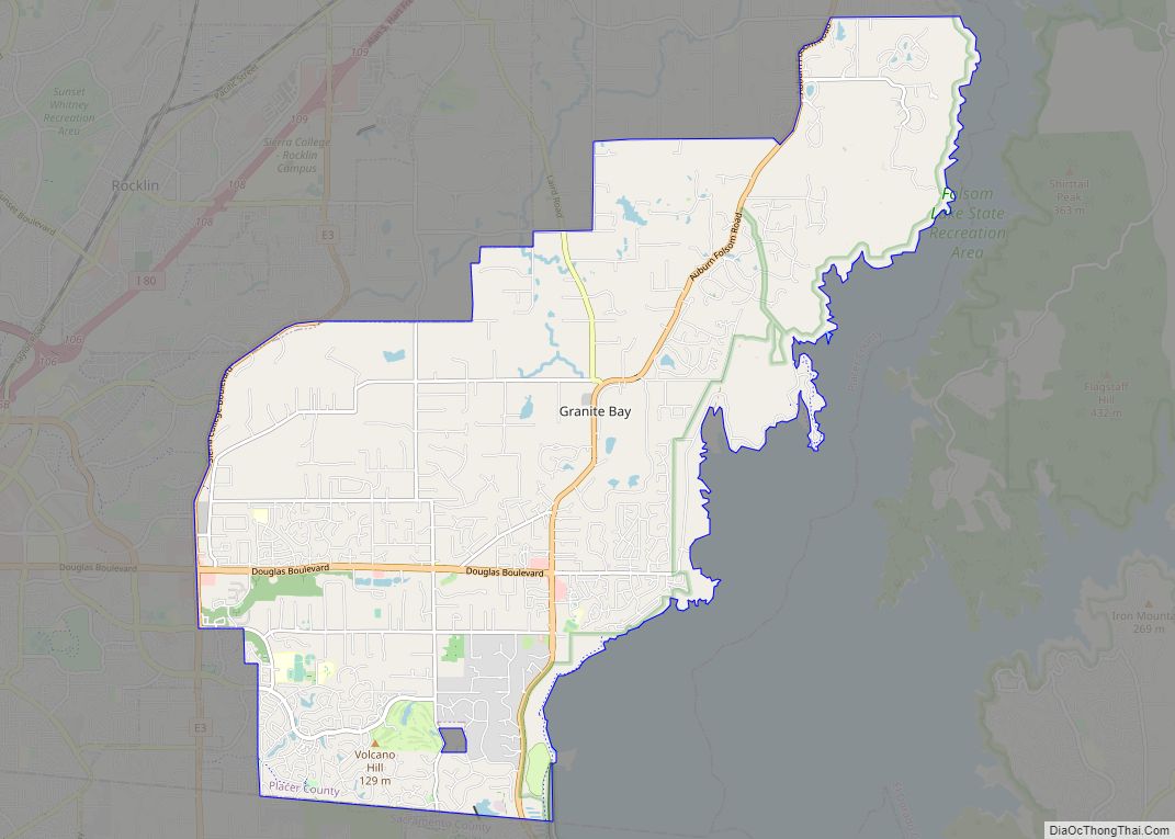
Online Interactive Map
Click on ![]() to view map in "full screen" mode.
to view map in "full screen" mode.
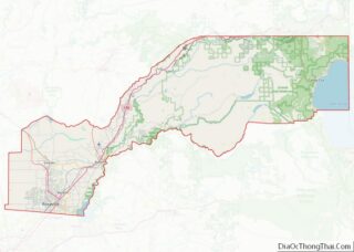
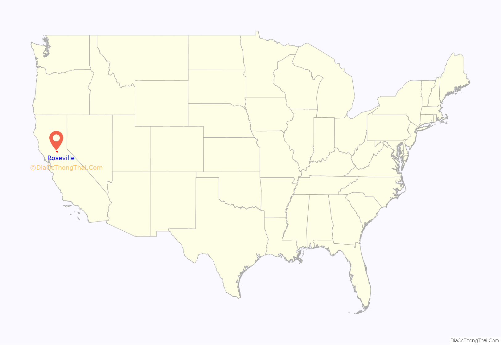
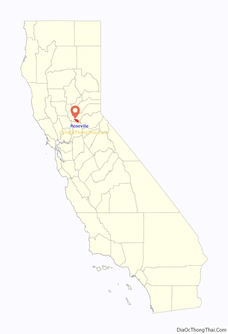
Roseville location map. Where is Roseville city?
History
The settlement developed around a stage coach station called Griders. According to the Roseville Historical Society, in 1864 the Central Pacific Railroad tracks were constructed northeastward from Sacramento as part of the transcontinental railroad. The point where the tracks met the California Central Railroad line was named “Junction”. Junction eventually became known as Roseville.
In 1909, three years after the Southern Pacific Railroad moved its facilities from Rocklin to Roseville, the town became an incorporated city. What followed was a period of expansion, with businesses building more than 100 structures, including what was the largest ice manufacturing plant in the world (Pacific Fruit Express building, in 1913).
The city was a railroad town for decades. By 1929, the railroad employed up to 1,225 people out of a total population of 6,425. With the onset of World War II, the rail yards became busier than ever.
The post-war building boom brought continued prosperity. But the nature of the city changed dramatically in the 1950s.
During this decade, the railroad continued to expand and upgrade, converting its steam engine fleet to all diesel engines. But competition arose in new sectors: the postwar development of the national Interstate Highway System and the airline industry adversely affected the railroads’ passenger and freight traffic. Trucking carried increasing amount of freight on highways. Industry restructuring took place and jobs were lost as railroads dropped passenger routes and consolidated operations.
Although the railroad has continued as a major employer in Roseville, the city’s expansion has been based on the emergence of other employment sectors.
Construction in 1950 of the Washington Boulevard (then called Seawell) railroad underpass dramatically affected downtown. It improved the ability of people to travel from one side of the tracks to the other, but it reduced traffic through the Roseville business district north of the tracks. Those businesses lost customers.
The completion of Interstate 80 in 1956 stimulated new businesses, with a population shift, from downtown to what would become known as East Roseville. The old downtown lost more businesses and slid into a gradual decline.
The Southern Pacific (now Union Pacific) yard was the site of the 1973 Roseville Yard Disaster. A major explosion and fire took place.
The city saw steady population growth throughout the ensuing decades, as shopping centers, major retailers, and homes were constructed, mostly outside the historic downtown. The growth rate was modest until 1985. Between 1929, when the population was 6,425 people, and 1985, the population grew by 22,563 people.
In 1985 the population stood at 28,988 people. Five years later it was 44,685 people, and by 2000 it was 74,234 people. Some of this growth was fueled by the arrival of major technology employers, such as Hewlett Packard (in 1979) and NEC (in 1983), in the city The population as of 2014 was 126,956 people.
Revitalization
In 1988, the city embarked on a multi-million dollar plan to redevelop approximately 207 acres (0.8 km) of land in the downtown core, and revitalize historic areas that had been in decline. Projects included the Vernon Streetscape Project, Atlantic Street Beautification, Civic Plaza Complex, Downtown Vernon Street and Historic Old Town, Historic Old Town Streetscape project, Riverside Avenue Streetscape project, Oak Street Improvement Project, and Washington Boulevard pedestrian underpass. A new parking garage opened in 2007, the Roseville Arts! Blueline Gallery opened in 2008, and a new Civic Center opened in 2013. The Vernon Street Town Square now features a small raised stage, a water spray for children, and a venue for community events.
Incidents
In 1995, a Roseville police officer shot and killed another officer, Mark A. White, during an attack at the city’s police station. White (in plain clothes) drew his weapon against the assailant, but another officer mistakenly believed White was also an assailant and shot and killed him.
On October 21, 2010, a young man set fires inside the Westfield Galleria at Roseville resulting in major damage to the mall. It reopened the next year after renovations.
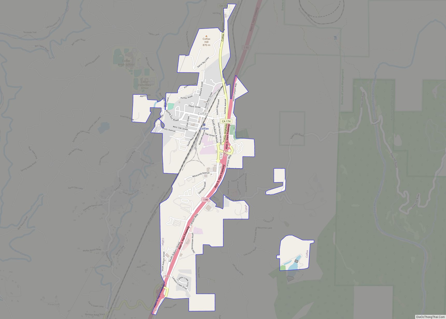
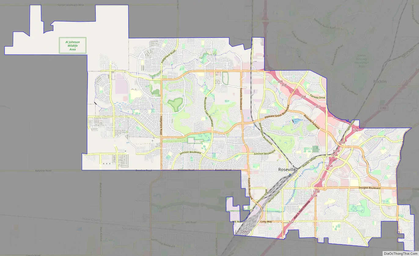
Roseville Road Map
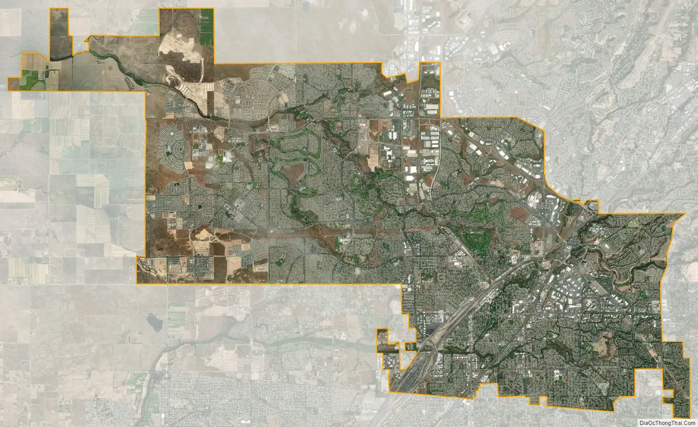
Roseville city Satellite Map
Geography
According to the Roseville Civic Center, the city has a total area of 42.26 square miles (109.5 km), of which 42.24 square miles (109.4 km) is land and 0.002 square miles (0.0052 km), comprising 0.00%, is water. Several streams flow through Roseville, including Dry Creek, Linda Creek, Secret Ravine and Cirby Creek.
Climate
Roseville has a hot-summer Mediterranean climate that is characterized by cool, wet, usually snowless winters and hot, dry summers (Köppen Csa). The wet season is generally October through April. Because Roseville is east of Sacramento and at a higher elevation, it receives slightly more rainfall. Average daily high temperatures range from 53 °F (12 °C) in January to 94 °F (34 °C) in July. Daily low temperatures range from 39 °F (4 °C) in winter to 61 °F (16 °C) in summer.
On March 26, 2014, an EF0 tornado touched down in Roseville.
See also
Map of California State and its subdivision:- Alameda
- Alpine
- Amador
- Butte
- Calaveras
- Colusa
- Contra Costa
- Del Norte
- El Dorado
- Fresno
- Glenn
- Humboldt
- Imperial
- Inyo
- Kern
- Kings
- Lake
- Lassen
- Los Angeles
- Madera
- Marin
- Mariposa
- Mendocino
- Merced
- Modoc
- Mono
- Monterey
- Napa
- Nevada
- Orange
- Placer
- Plumas
- Riverside
- Sacramento
- San Benito
- San Bernardino
- San Diego
- San Francisco
- San Joaquin
- San Luis Obispo
- San Mateo
- Santa Barbara
- Santa Clara
- Santa Cruz
- Shasta
- Sierra
- Siskiyou
- Solano
- Sonoma
- Stanislaus
- Sutter
- Tehama
- Trinity
- Tulare
- Tuolumne
- Ventura
- Yolo
- Yuba
- Alabama
- Alaska
- Arizona
- Arkansas
- California
- Colorado
- Connecticut
- Delaware
- District of Columbia
- Florida
- Georgia
- Hawaii
- Idaho
- Illinois
- Indiana
- Iowa
- Kansas
- Kentucky
- Louisiana
- Maine
- Maryland
- Massachusetts
- Michigan
- Minnesota
- Mississippi
- Missouri
- Montana
- Nebraska
- Nevada
- New Hampshire
- New Jersey
- New Mexico
- New York
- North Carolina
- North Dakota
- Ohio
- Oklahoma
- Oregon
- Pennsylvania
- Rhode Island
- South Carolina
- South Dakota
- Tennessee
- Texas
- Utah
- Vermont
- Virginia
- Washington
- West Virginia
- Wisconsin
- Wyoming