Caldwell County is a county in the U.S. state of North Carolina. It is located in the foothills of the Blue Ridge Mountains. As of the 2020 census, the population was 80,652. Its county seat is Lenoir. Caldwell County is part of the Hickory–Lenoir–Morganton, NC Metropolitan Statistical Area.
| Name: | Caldwell County |
|---|---|
| FIPS code: | 37-027 |
| State: | North Carolina |
| Founded: | 1841 |
| Named for: | Joseph Caldwell |
| Seat: | Lenoir |
| Largest city: | Lenoir |
| Total Area: | 474 sq mi (1,230 km²) |
| Land Area: | 472 sq mi (1,220 km²) |
| Total Population: | 80,652 |
| Population Density: | 170.9/sq mi (66.0/km²) |
| Time zone: | UTC−5 (Eastern) |
| Summer Time Zone (DST): | UTC−4 (EDT) |
| Website: | www.caldwellcountync.org |
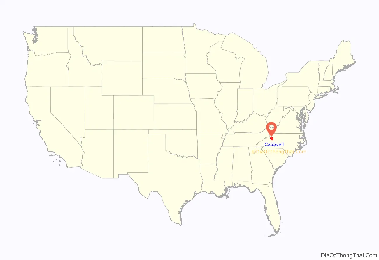
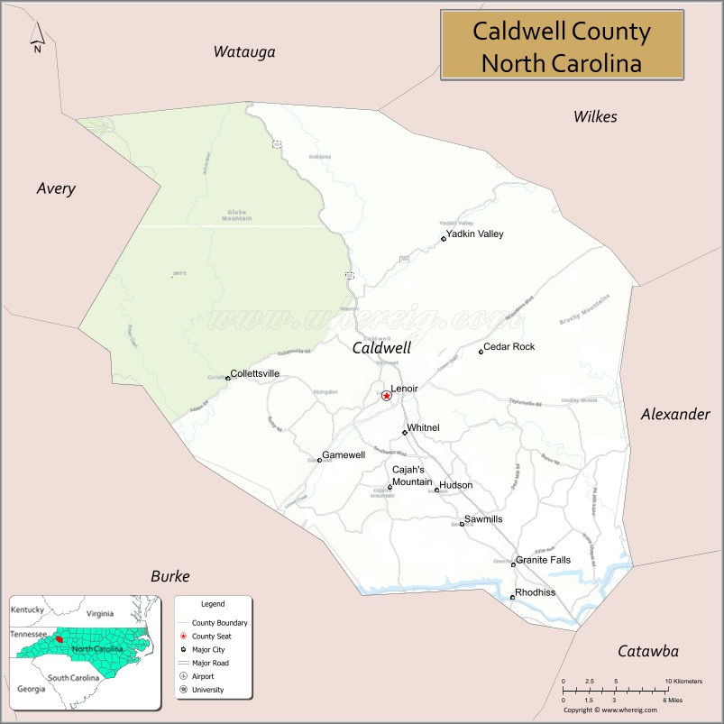
Caldwell County location map. Where is Caldwell County?
History
The county was formed in 1841 from parts of Burke County and Wilkes County. It was named for Joseph Caldwell, presiding professor and the first president of the University of North Carolina at Chapel Hill.
A series of reductions to the county’s territory have taken place since its initial formation. In 1847, parts of Caldwell County, Iredell County, and Wilkes County were combined to form Alexander County. In 1849, parts of Caldwell County, Ashe County, Wilkes County, and Yancey County were combined to form Watauga County. In 1861, parts of Caldwell County, Burke County, McDowell County, Watauga County, and Yancey County were combined to form Mitchell County. Finally, in 1911 parts of Caldwell County, Mitchell County, and Watauga County were combined to form Avery County.
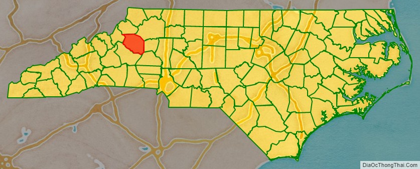
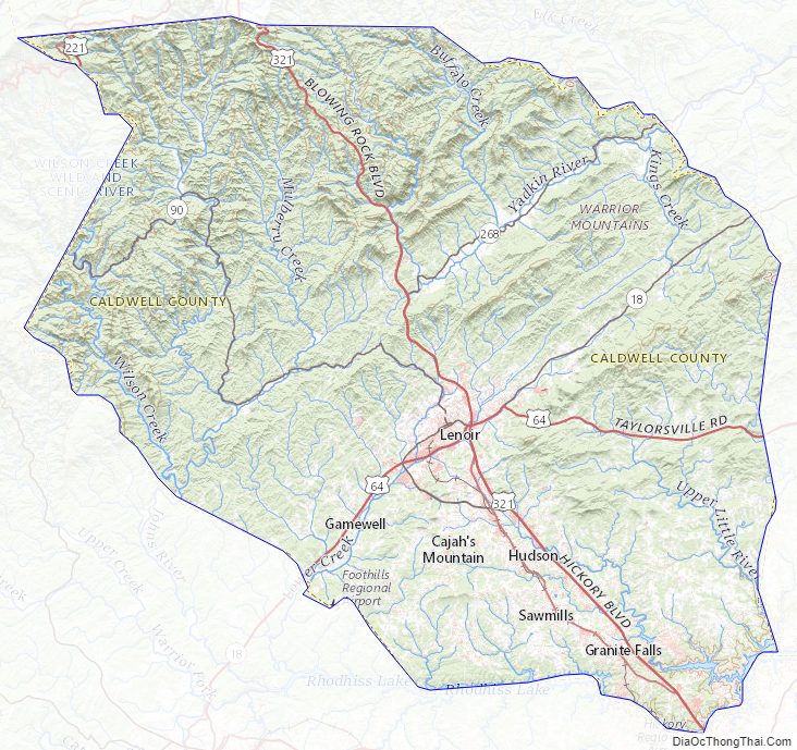
Caldwell County Road Map
Geography
According to the U.S. Census Bureau, the county has a total area of 474 square miles (1,230 km), of which 472 square miles (1,220 km) is land and 2.7 square miles (7.0 km) (0.6%) is water.
Caldwell County is divided into three distinct geographic sections: the Blue Ridge Mountains, which dominate the northern and western parts of the county; the gently rolling Piedmont country in the middle and southern parts of the county; and the Brushy Mountains, an isolated remnant of the Blue Ridge Mountains. The “Brushies”, as they are often called, run across much of Caldwell County’s eastern section. Hibriten Mountain, located within the city limits of Lenoir, the county’s largest city, marks the western end of the Brushy Mountain range. In the western part of the county is the Wilson Creek area.
National protected areas
- Blue Ridge Parkway (part)
- Pisgah National Forest (part)
State and local protected areas
- Backbone Ridge State Forest
- Grandfather Mountain State Park (part)
- Tuttle Educational State Forest
Major water bodies
- Beaver Creek
- Blue Creek
- Catawba River
- Gunpowder Creek
- Husband Creek
- Johns River
- Lake Hickory
- Little Gunpowder Creek
- Little King Creek
- Lower Creek
- Mill Creek
- Mulberry Creek
- Rhodhiss Lake
- Rock Creek
- Silver Creek
- Upper Little River
- Wilson Creek
- Yadkin River
Adjacent counties
- Watauga County – north
- Wilkes County – northeast
- Alexander County – east
- Catawba County – southeast
- Burke County – south
- Avery County – west
Major highways
- US 64
- US 221
- US 321, busiest highway in the county with an annual average daily traffic count of 39,000.
- US 321A
- NC 18
- NC 90
- NC 268
Major infrastructure
- Caldwell County has one railroad, the Caldwell County Railroad which interchanges with the Norfolk Southern Railway in Hickory, North Carolina.
- Foothills Regional Airport (partially in Burke County)
Caldwell County Topographic Map
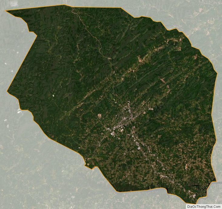
Caldwell County Satellite Map
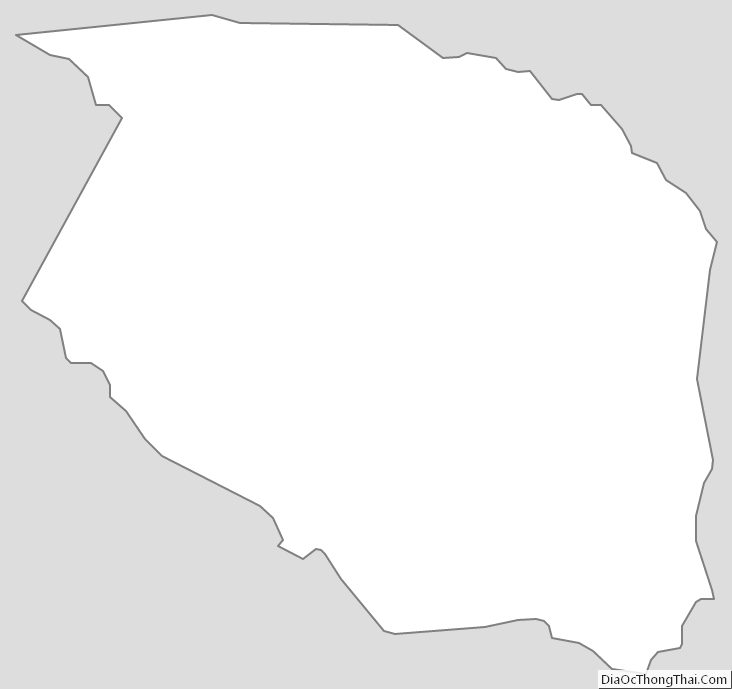
Caldwell County Outline Map