Cloud County (county code CD) is a county located in the U.S. state of Kansas. As of the 2020 census, the county population was 9,032. Its county seat and most populous city is Concordia.
| Name: | Cloud County |
|---|---|
| FIPS code: | 20-029 |
| State: | Kansas |
| Founded: | March 27, 1867 |
| Named for: | William F. Cloud |
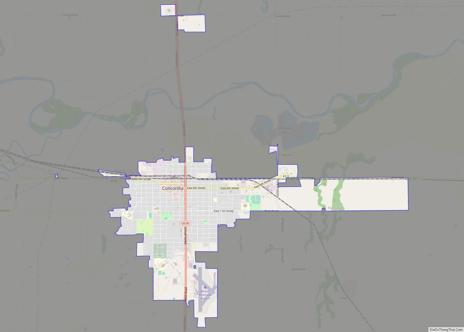
| Seat: | Concordia |
| Largest city: | Concordia |
| Total Area: | 718 sq mi (1,860 km²) |
| Land Area: | 715 sq mi (1,850 km²) |
| Total Population: | 9,032 |
| Population Density: | 12.6/sq mi (4.9/km²) |
| Time zone: | UTC−6 (Central) |
| Summer Time Zone (DST): | UTC−5 (CDT) |
| Website: | cloudcountyks.org |
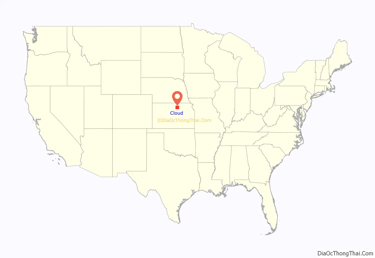
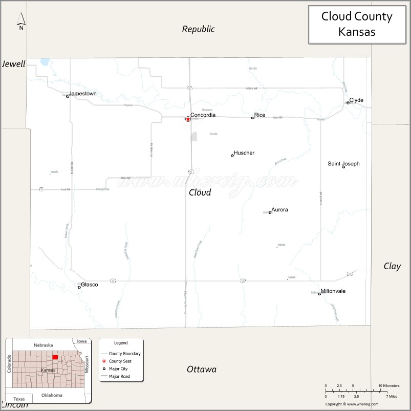
Cloud County location map. Where is Cloud County?
History
Early history
For many millennia, the Great Plains of North America was inhabited by nomadic Native Americans. From the 16th century to 18th century, the Kingdom of France claimed ownership of large parts of North America. In 1762, after the French and Indian War, France secretly ceded New France to Spain, per the Treaty of Fontainebleau.
19th century
In 1802, Spain returned most of the land to France, but keeping title to about 7,500 square miles. In 1803, most of the land for modern day Kansas was acquired by the United States from France as part of the 828,000 square mile Louisiana Purchase for 2.83 cents per acre.
In 1854, the Kansas Territory was organized, then in 1861 Kansas became the 34th U.S. state. In 1867, Cloud County was established.
Cloud county was originally named Shirley County, but civic leaders feared that sounded too much like the name of a prostitute. It was then renamed “Cloud” county in honor of Colonel William F. Cloud.
Cloud County was formed from the existing Washington County, Kansas in a joint convention with Republic and Cloud counties. The county was legally organized on September 6, 1866, with Elk Creek designated as the temporary county seat.
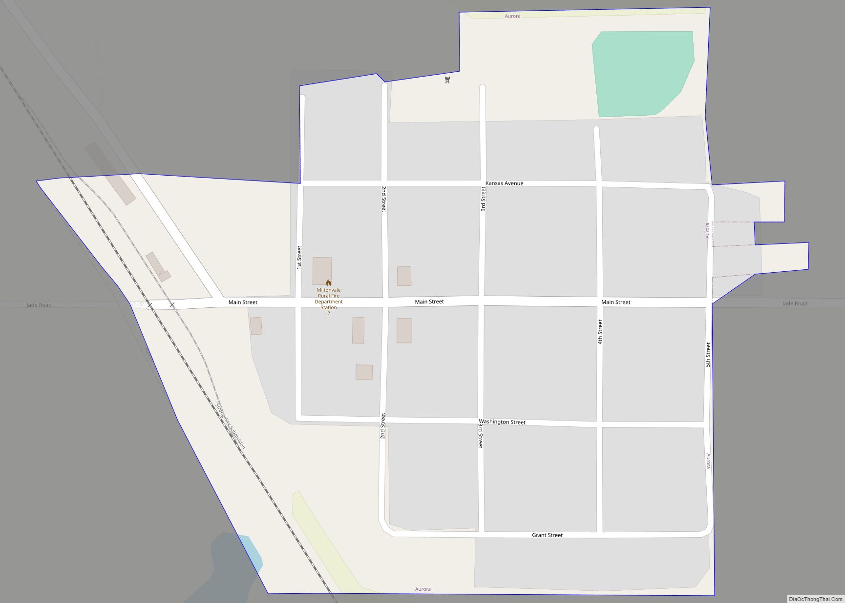
In 1887, Atchison, Topeka and Santa Fe Railway built a branch line from Neva (3 miles west of Strong City) to Superior, Nebraska. This branch line connected Strong City, Neva, Rockland, Diamond Springs, Burdick, Lost Springs, Jacobs, Hope, Navarre, Enterprise, Abilene, Talmage, Manchester, Longford, Oak Hill, Miltonvale, Aurora, Huscher, Concordia, Kackley, Courtland, Webber, Superior. At some point, the line from Neva to Lost Springs was pulled but the right of way has not been abandoned. This branch line was originally called “Strong City and Superior line” but later the name was shortened to the “Strong City line”. In 1996, the Atchison, Topeka and Santa Fe Railway merged with Burlington Northern Railroad and renamed to the current BNSF Railway. Most locals still refer to this railroad as the “Santa Fe”.
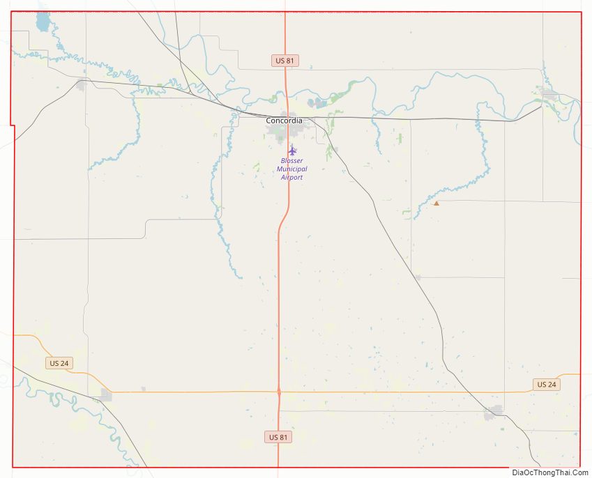
Cloud County Road Map
Geography
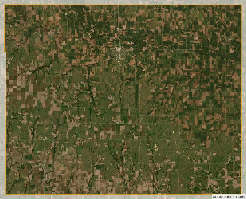
According to the U.S. Census Bureau, the county has a total area of 718 square miles (1,860 km), of which 715 square miles (1,850 km) is land and 2.6 square miles (6.7 km) (0.4%) is water.
Geographic features
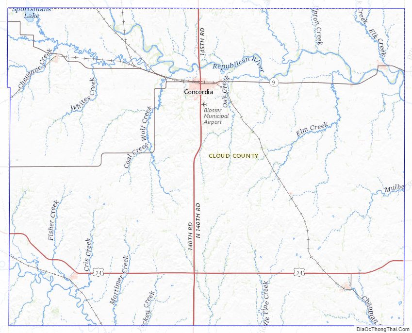
The Republican River passes through the county, entering from Republic County to the north and exiting to Clay County to the east. The Solomon River traverses the southwestern portion of the county, going from Mitchell County to Ottawa County. Jamestown Lake lies partially in the northwestern part of the county and partially in southwestern Republic county.
Major highways
Cloud County is bisected from north to south by U.S. Route 81, which runs through the town of Concordia and connects north to Belleville, Kansas or south to Salina, Kansas. The southern part of the county also has U.S. Route 24, connecting Clay Center, Kansas from the east and Beloit, Kansas to the west.
There are four other state highways in the county: K-9, K-28, K-189, and K-194.
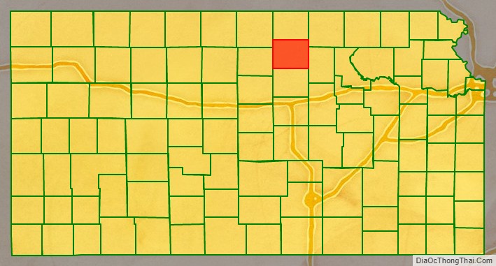
Adjacent counties
- Republic County (north)
- Washington County (northeast)
- Clay County (east)
- Ottawa County (south)
- Mitchell County (west)
- Jewell County (northwest)
Cloud County Topographic Map
Cloud County Satellite Map
Cloud County Outline Map