Clay Center is a city in and the county seat of Clay County, Kansas, United States. As of the 2020 census, the population of the city was 4,199.
| Name: | Clay Center city |
|---|---|
| LSAD Code: | 25 |
| LSAD Description: | city (suffix) |
| State: | Kansas |
| County: | Clay County |
| Founded: | 1862 |
| Incorporated: | 1875 |
| Elevation: | 1,201 ft (366 m) |
| Total Area: | 3.19 sq mi (8.27 km²) |
| Land Area: | 3.19 sq mi (8.26 km²) |
| Water Area: | 0.00 sq mi (0.01 km²) |
| Total Population: | 4,199 |
| Population Density: | 1,300/sq mi (510/km²) |
| ZIP code: | 67432 |
| Area code: | 785 |
| FIPS code: | 2013625 |
| Website: | cityofclaycenter.com |
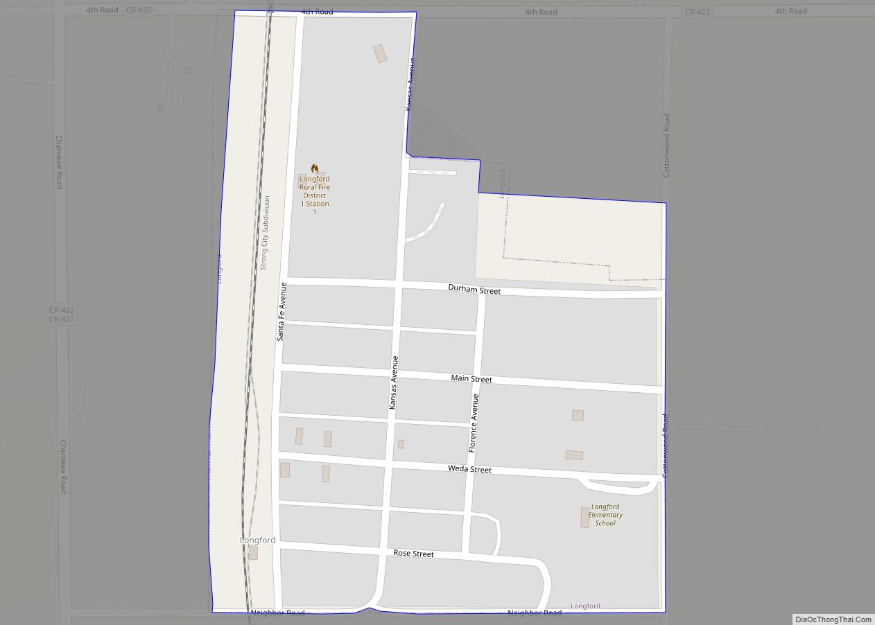
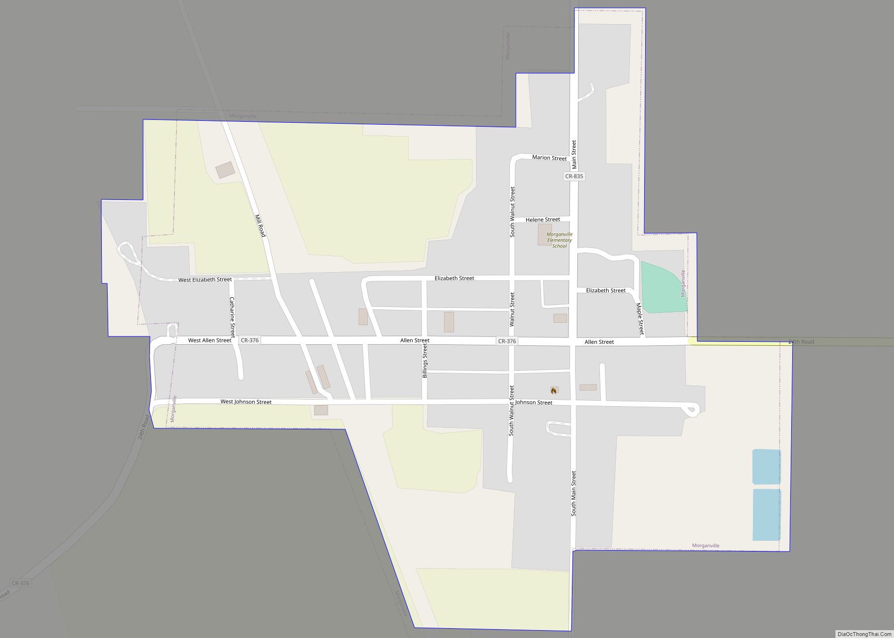
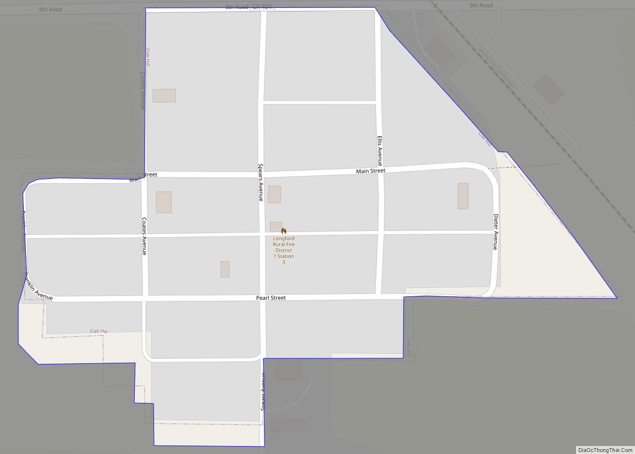
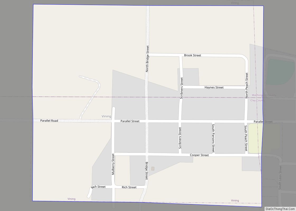
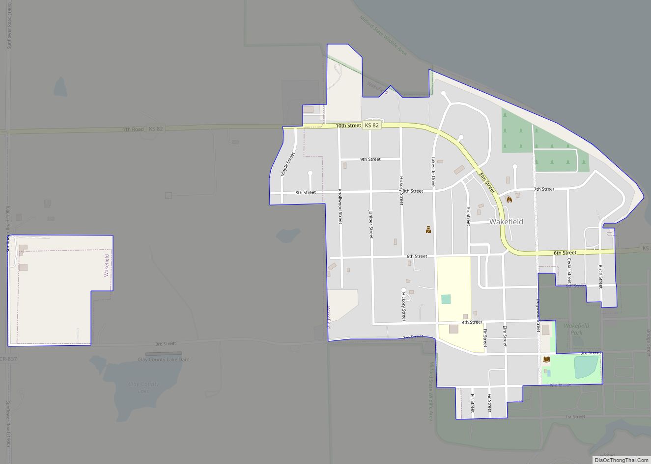
Online Interactive Map
Click on ![]() to view map in "full screen" mode.
to view map in "full screen" mode.
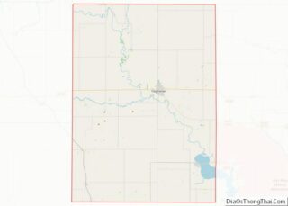
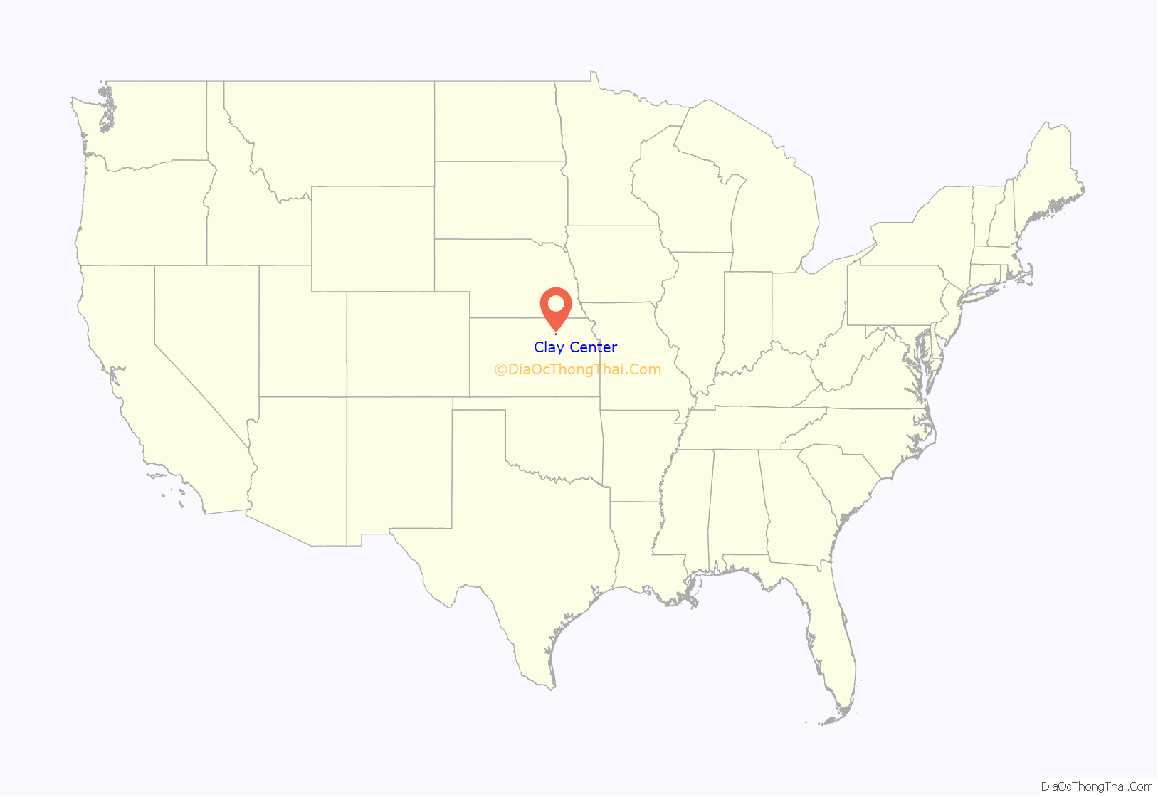
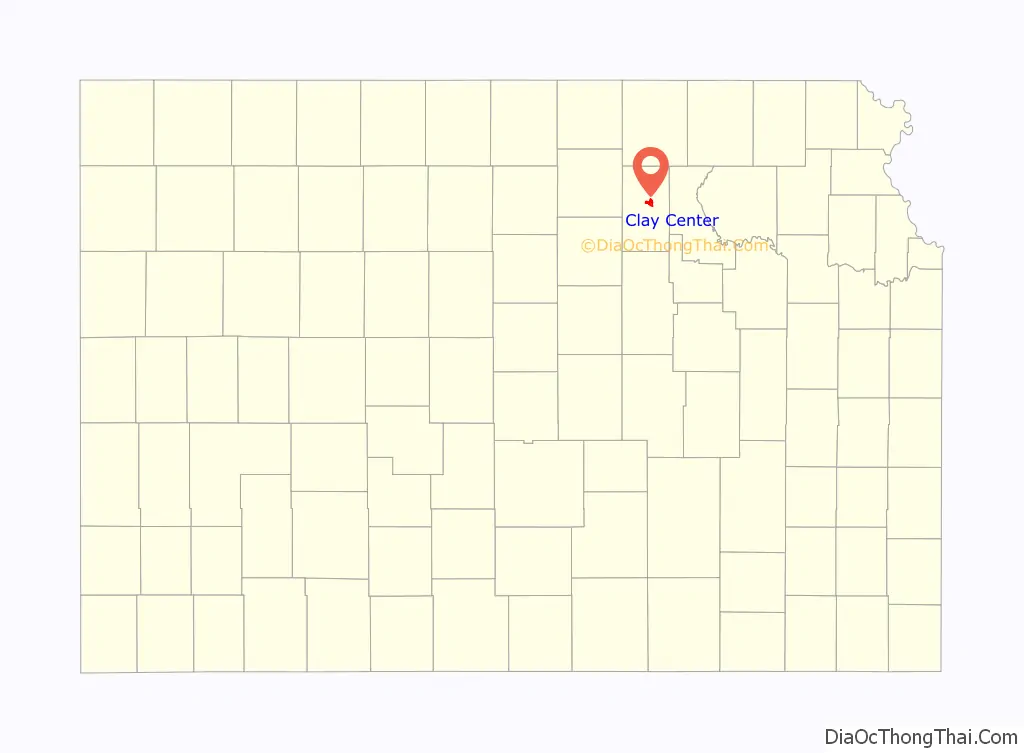
Clay Center location map. Where is Clay Center city?
History
Clay Center was first settled in 1862. It was named from its position near the geographical center of Clay County.
The first post office was established in Clay Center on July 3, 1862.
Clay Center was located on the Chicago, Rock Island and Pacific and Union Pacific Railroads.
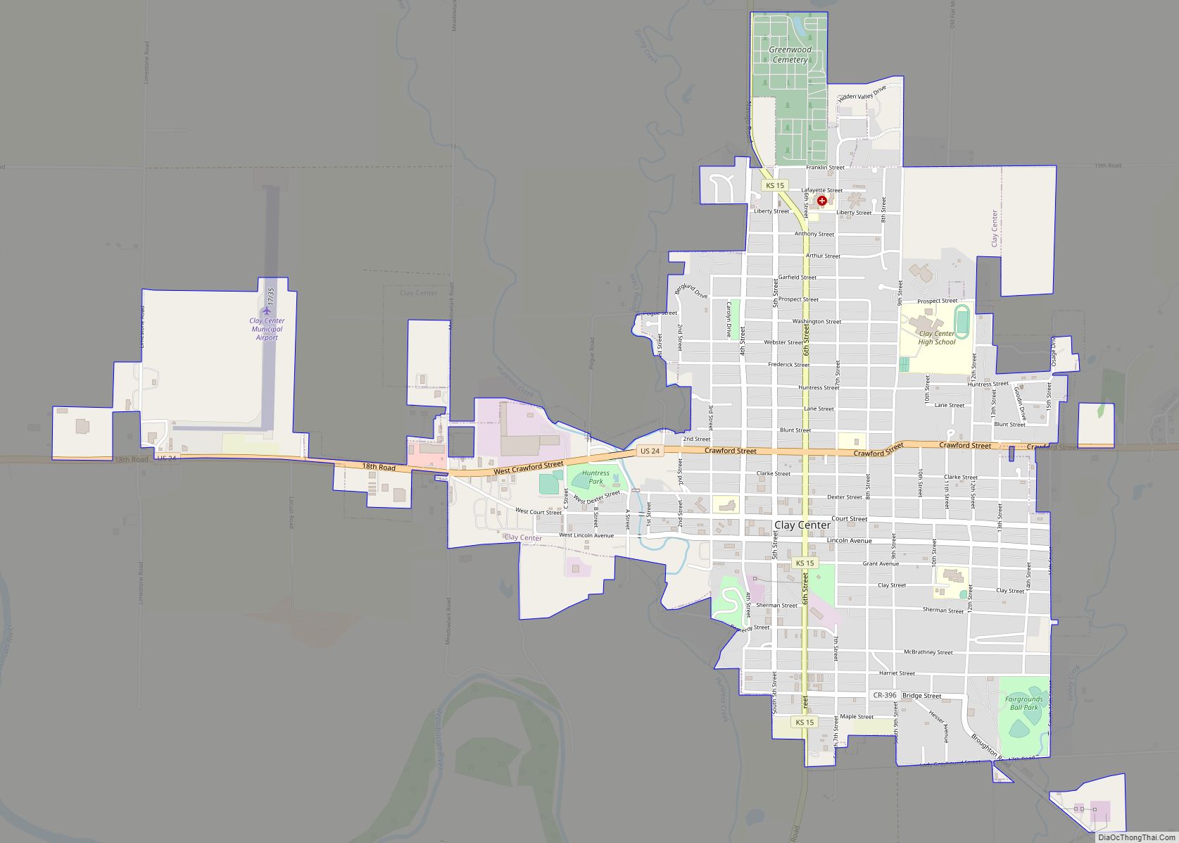
Clay Center Road Map
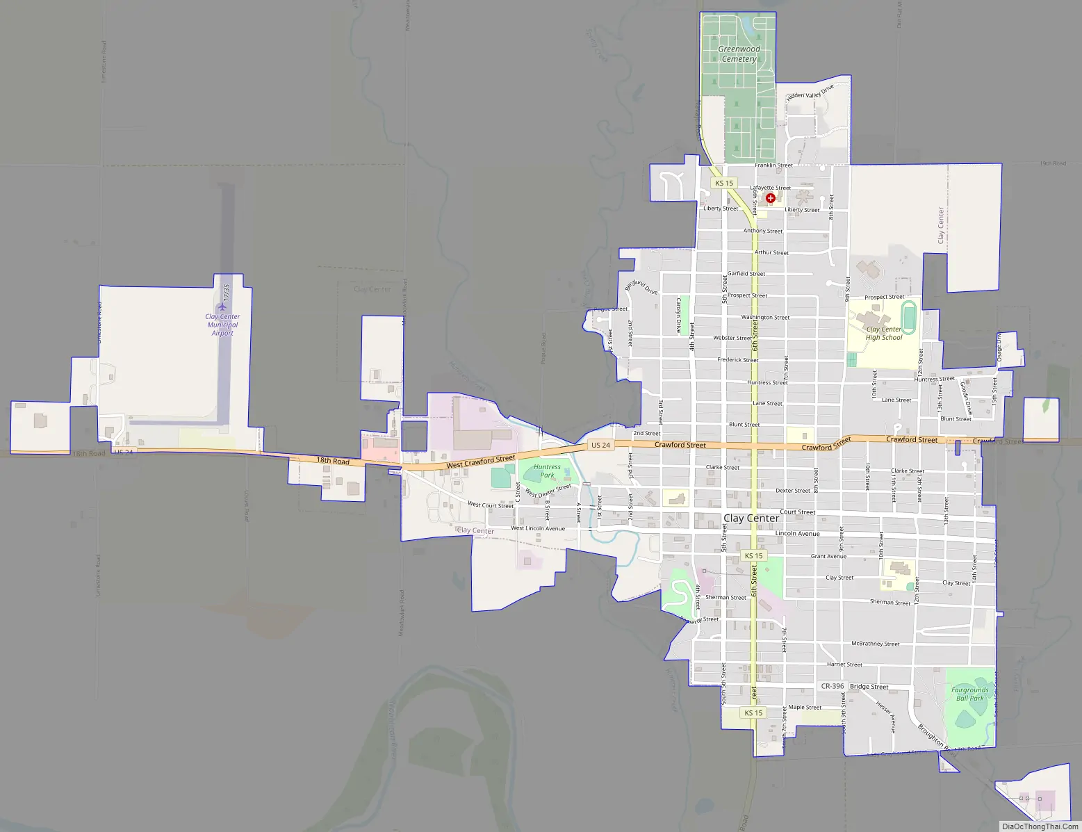
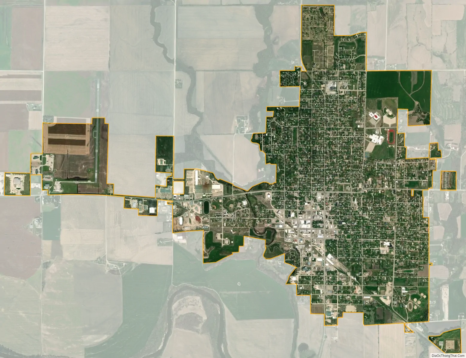
Clay Center city Satellite Map
Geography
Clay Center is located at 39°22′48″N 97°7′23″W / 39.38000°N 97.12306°W / 39.38000; -97.12306 (39.379920, -97.123168). According to the United States Census Bureau, the city has a total area of 3.08 square miles (7.98 km), all of it land. Clay Center is unique, because it is the geographic midpoint between Los Angeles, California and New York City, the two largest American cities. Both cities are exactly 1,224 mi (1,970 km) from Clay Center.
Climate
The climate in this area is characterized by hot, humid summers and generally mild to cool winters. According to the Köppen Climate Classification system, Clay Center has a humid subtropical climate, abbreviated “Cfa” on climate maps.
See also
Map of Kansas State and its subdivision:- Allen
- Anderson
- Atchison
- Barber
- Barton
- Bourbon
- Brown
- Butler
- Chase
- Chautauqua
- Cherokee
- Cheyenne
- Clark
- Clay
- Cloud
- Coffey
- Comanche
- Cowley
- Crawford
- Decatur
- Dickinson
- Doniphan
- Douglas
- Edwards
- Elk
- Ellis
- Ellsworth
- Finney
- Ford
- Franklin
- Geary
- Gove
- Graham
- Grant
- Gray
- Greeley
- Greenwood
- Hamilton
- Harper
- Harvey
- Haskell
- Hodgeman
- Jackson
- Jefferson
- Jewell
- Johnson
- Kearny
- Kingman
- Kiowa
- Labette
- Lane
- Leavenworth
- Lincoln
- Linn
- Logan
- Lyon
- Marion
- Marshall
- McPherson
- Meade
- Miami
- Mitchell
- Montgomery
- Morris
- Morton
- Nemaha
- Neosho
- Ness
- Norton
- Osage
- Osborne
- Ottawa
- Pawnee
- Phillips
- Pottawatomie
- Pratt
- Rawlins
- Reno
- Republic
- Rice
- Riley
- Rooks
- Rush
- Russell
- Saline
- Scott
- Sedgwick
- Seward
- Shawnee
- Sheridan
- Sherman
- Smith
- Stafford
- Stanton
- Stevens
- Sumner
- Thomas
- Trego
- Wabaunsee
- Wallace
- Washington
- Wichita
- Wilson
- Woodson
- Wyandotte
- Alabama
- Alaska
- Arizona
- Arkansas
- California
- Colorado
- Connecticut
- Delaware
- District of Columbia
- Florida
- Georgia
- Hawaii
- Idaho
- Illinois
- Indiana
- Iowa
- Kansas
- Kentucky
- Louisiana
- Maine
- Maryland
- Massachusetts
- Michigan
- Minnesota
- Mississippi
- Missouri
- Montana
- Nebraska
- Nevada
- New Hampshire
- New Jersey
- New Mexico
- New York
- North Carolina
- North Dakota
- Ohio
- Oklahoma
- Oregon
- Pennsylvania
- Rhode Island
- South Carolina
- South Dakota
- Tennessee
- Texas
- Utah
- Vermont
- Virginia
- Washington
- West Virginia
- Wisconsin
- Wyoming