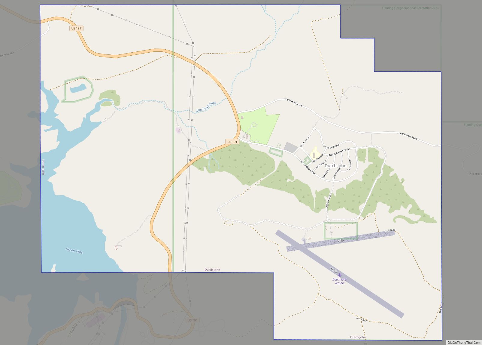
Daggett County (/ˈdæɡət/ DAG-ət) is a county in the northeastern corner of the U.S. state of Utah. As of the 2020 United States Census, the population was 935, making it the least populous county in Utah. Its county seat is Manila. The county was named for Ellsworth Daggett, the first surveyor-general of Utah. The small community of Dutch John, located near the state line with Colorado and Wyoming, became an incorporated town in January 2016.
| Name: | Daggett County |
|---|---|
| FIPS code: | 49-009 |
| State: | Utah |
| Founded: | January 7, 1918 |
| Named for: | Ellsworth Daggett |
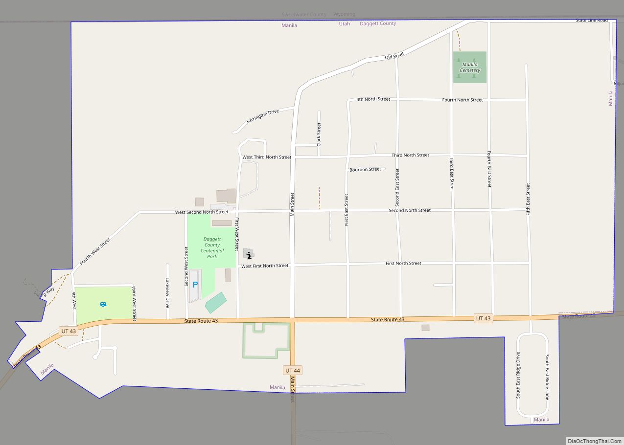
| Seat: | Manila |
| Largest town: | Manila |
| Total Area: | 721 sq mi (1,870 km²) |
| Land Area: | 697 sq mi (1,810 km²) |
| Total Population: | 935 |
| Population Density: | 1.3/sq mi (0.50/km²) |
| Time zone: | UTC−7 (Mountain) |
| Summer Time Zone (DST): | UTC−6 (MDT) |
| Website: | www.daggettcounty.org |
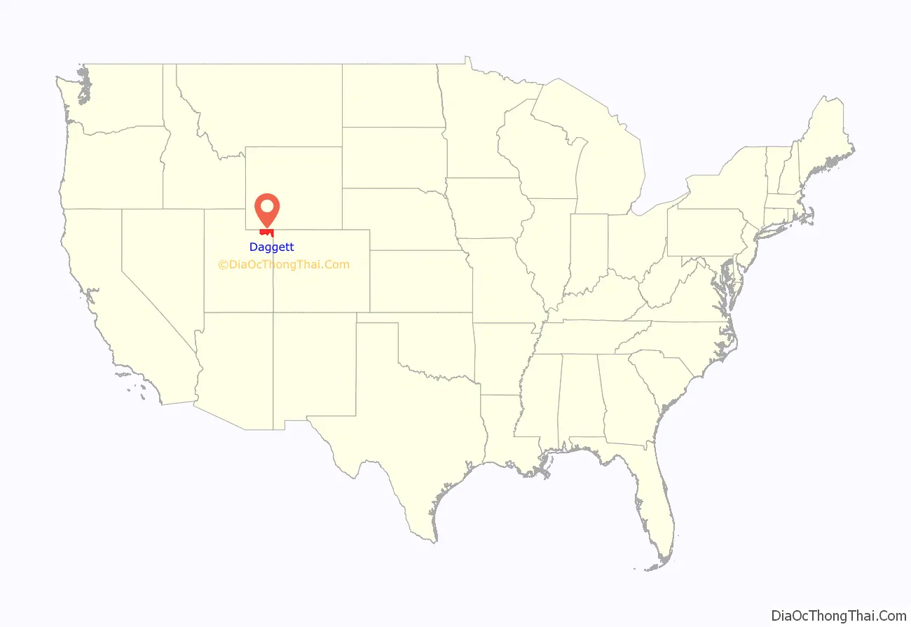
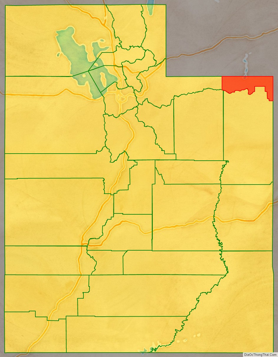
Daggett County location map. Where is Daggett County?
History
Due to dangerous roads, mountainous terrain, and frequent bad weather preventing travel via a direct route, 19th century residents in the north portion of Uintah County had to travel 400 to 800 miles (640 to 1,290 km) on both stagecoach and rail to conduct business in Vernal, the county seat, a mere 50 miles (80 km) away. The journey involved overland travel to a train station in Wyoming, to either Mack, Colorado, Price, or Salt Lake City, then a stagecoach to Vernal. In the fall 1917 election, the Uintah county voters voted to establish a separate county on the northern slope of the Uinta Mountains. The act establishing the county was approved on January 7, 1918, naming Manila as the county seat.
The boundary between Daggett and Uintah counties was adjusted in 1919, with some territory being returned to Uintah. Daggett County boundaries have remained unchanged since 1919.
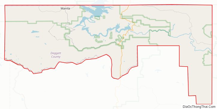
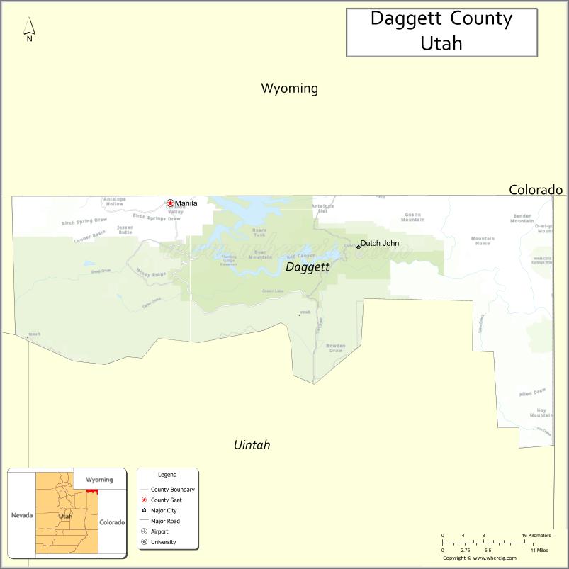
Daggett County Road Map
Geography
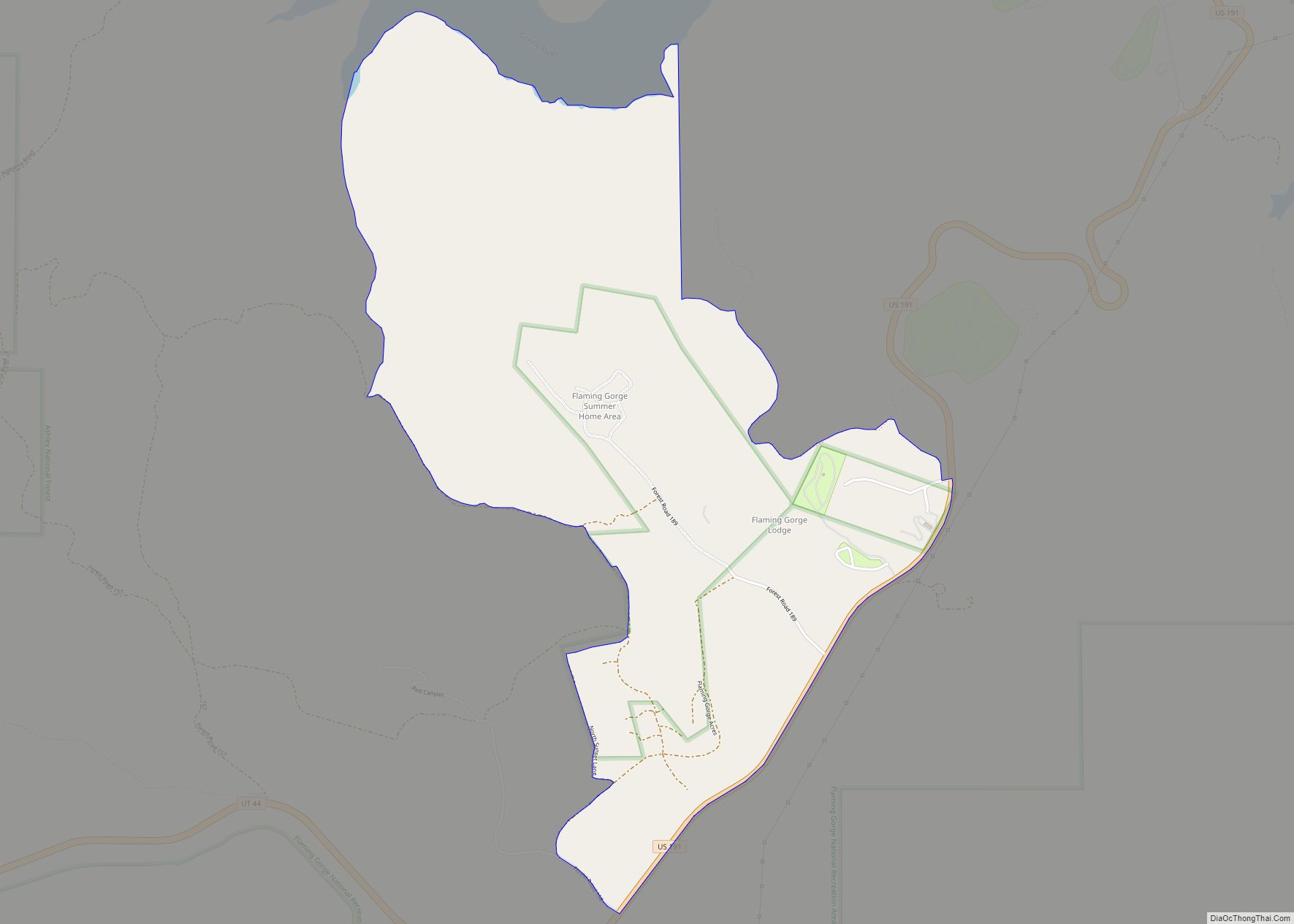
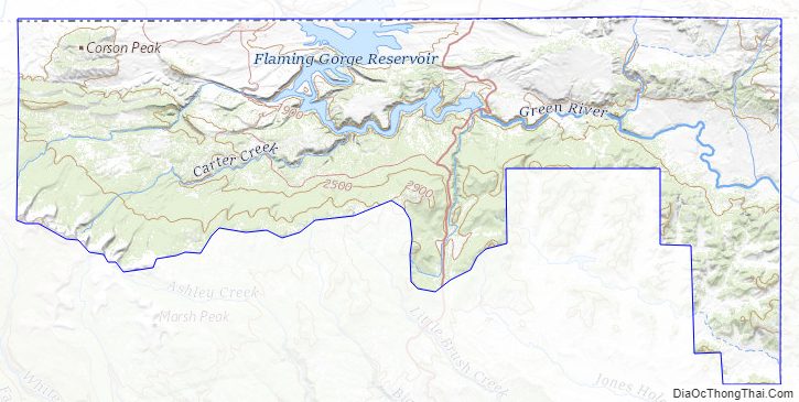
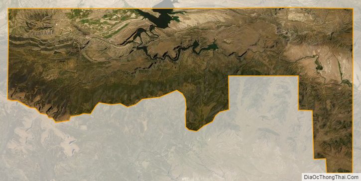
Daggett County lies at the lower northeastern corner of Utah. Its northern border abuts the south border of the state of Wyoming, and its eastern boundary abuts the western border of the state of Colorado. Its main geographical features are the Uinta Mountains, which comprise its southwestern portion and delineate part of its southern border, and the Green River, which has carved a deep gorge through the east-central part of the county. In 1958, the United States Bureau of Reclamation took advantage of this natural feature to construct the Flaming Gorge Dam, creating the Flaming Gorge Reservoir, which began filling in 1964.
The county terrain slopes to the north and east on the northern flank of the Uintas. The county’s highest point is on a mountain crest along its south border, at 12,276′ (3742m) ASL. The county has a total area of 721 square miles (1,870 km), of which 697 square miles (1,810 km) is land and 24 square miles (62 km) (3.3%) is water. It is the fourth-smallest county in Utah by area. Over 90% of the land of Daggett County is under federal ownership.
Major highways
- U.S. Route 191
- Utah State Route 43
- Utah State Route 44
- Utah State Route 1364 (Browns Park Rd)
Adjacent counties
- Sweetwater County, Wyoming – north
- Moffat County, Colorado – east
- Uintah County – south
- Duchesne County – southwest
- Summit County – west
Protected areas
- Ashley National Forest (part)
- Browns Park Waterfowl Area
- Browns Park Waterfowl Management Area
- Clay Basin Wildlife Management Area
- Flaming Gorge National Recreation Area (part)
- Goslin Mountain Wildlife Management Area
- Indian Crossing Campground (BLM)
- Marshall Draw Wildlife Management Area
- Taylors Flat Wildlife Management Area
Lakes
- Big Springs
- Browne Lake
- Browns Park National Wildlife Refuge Reservoir
- Chokecherry Spring
- Cow Spring
- Daggett Lake
- Dowds Hole
- Dripping Spring
- East Grindstone Spring
- Fighting Spring
- Flaming Gorge Reservoir (part)
- Ford Spring
- Greens Lakes
- Greens Lake
- West Greens Lake
- Grindstone Spring
- Lamb Lakes
- Bummer Lake
- Ewe Lake
- Lamb Lake
- Mutton Lake
- Ram Lake
- Long Park Reservoir
- Lower Potter Lake
- One Fish Lake
- Pollen Lake
- Potter Lake (Upper Potter Lake)
- Red Lake
- Serviceberry Spring
- Sheep Creek Lake
- Spirit Lake (part)
- Spitzenburg Spring
- Stove Lake
- Tepee Lakes
- Lower Teepee Lake
- Upper Teepee Lake
- Weyman Lakes
- Anson Lake (Lower Anson Lake)
- Candy Lake
- Clear Lake
- Hidden Lake
- Penguin Lake
- Sesame Lake
- Upper Anson Lake
- Youngs Spring
Daggett County Topographic Map
Daggett County Satellite Map
Daggett County Outline Map