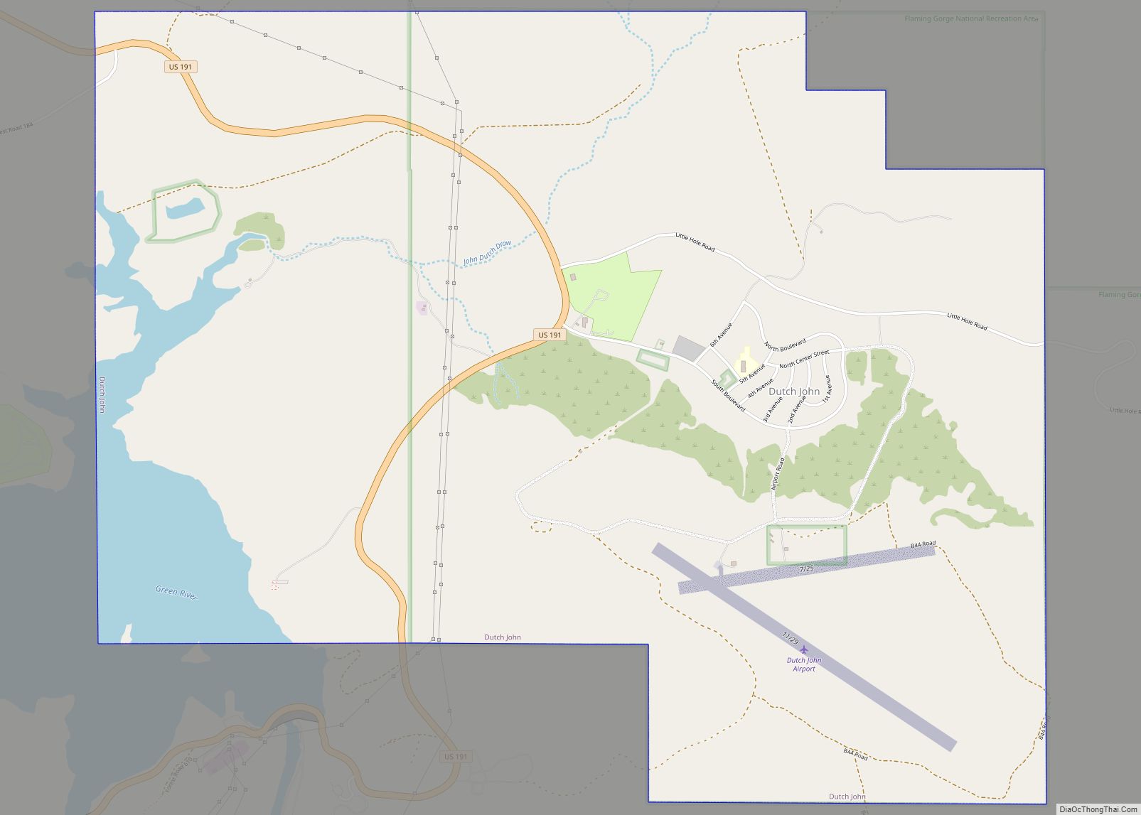
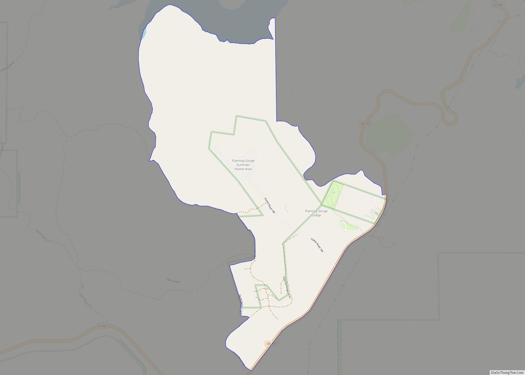
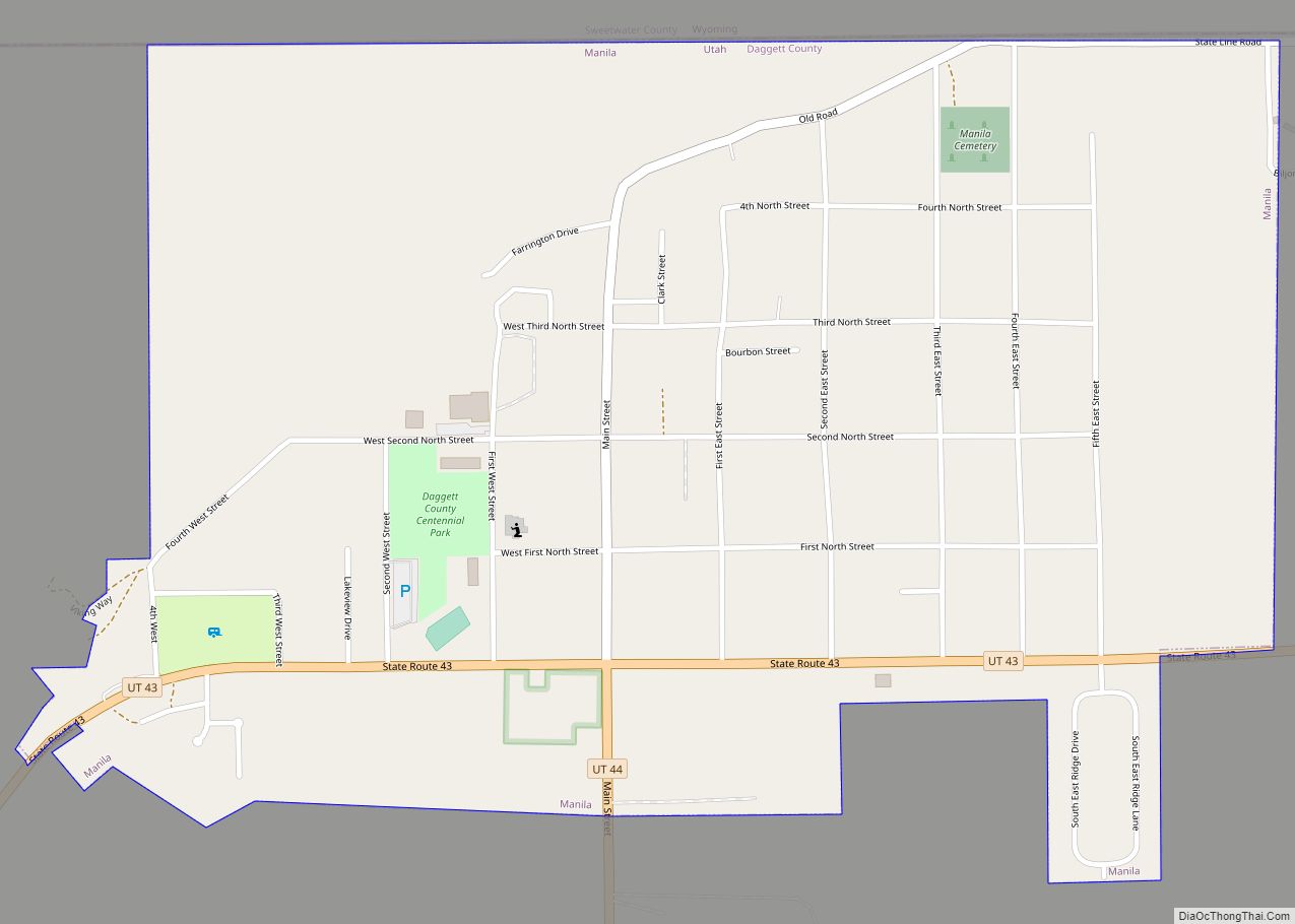
Manila is a small city located on the northern edge of Daggett County, Utah, United States, just south of the Wyoming border. The town is at the junction of State Route 43 and State Route 44, and is the county seat of Daggett County. Nearby sites include the Flaming Gorge National Recreation Area and the Flaming Gorge Reservoir just east of town, and to the south is Ashley National Forest, which includes Kings Peak (13,528 ft), the highest point in Utah.
The population of Manila was 310 at the 2010 census. The settlement was named in 1898, commemorating the American naval victory at the Battle of Manila Bay in the Philippines.
| Name: | Manila town |
|---|---|
| LSAD Code: | 43 |
| LSAD Description: | town (suffix) |
| State: | Utah |
| County: | Daggett County |
| Founded: | 1898 |
| Incorporated: | 1936 |
| Elevation: | 6,348 ft (1,935 m) |
| Total Area: | 1.03 sq mi (2.68 km²) |
| Land Area: | 1.03 sq mi (2.68 km²) |
| Water Area: | 0.00 sq mi (0.00 km²) |
| Total Population: | 308 |
| Population Density: | 296.62/sq mi (114.50/km²) |
| ZIP code: | 84046 |
| Area code: | 435 |
| FIPS code: | 4947620 |
| GNISfeature ID: | 1443126 |
| Website: | www.manilautah.com |
Online Interactive Map
Click on ![]() to view map in "full screen" mode.
to view map in "full screen" mode.
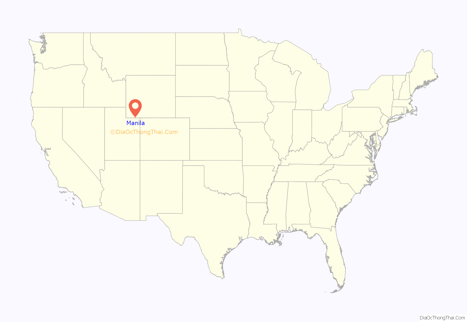
Manila location map. Where is Manila town?
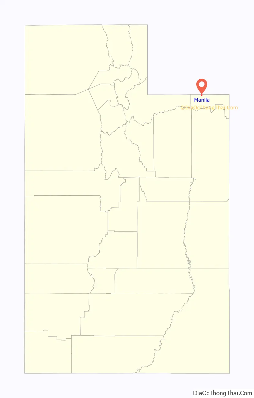
Manila Road Map

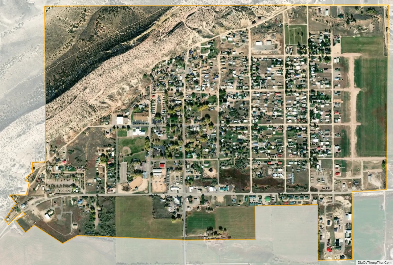
Manila city Satellite Map
Geography
Manila is located in northeastern Utah, north of the Uinta Mountains and west of the Flaming Gorge Reservoir on the Green River. The northern border of the town is the Wyoming state line.
Manila has five streets which run east to west. The southernmost, and main east-west street, is Utah State Route 43, with the remaining four streets numbered sequentially south to north (1st through 4th Street). The primary north-south street is Main Street, and subsequent north-south streets in Manila are also numbered, with 1st East Street through 5th East Street to the east and 1st and 2nd West Street to the west. State Route 43 runs northeast 2.5 miles (4.0 km) to the Wyoming border, whereupon Wyoming Highway 530 continues north 44 miles (71 km) to the city of Green River. In the other direction from Manila, Route 43 leads west then north 8 miles (13 km) to the Wyoming border, beyond which Wyoming Highway 414 leads 45 miles (72 km) to Fort Bridger. Utah State Route 44 (Main Street) leads south then east from Manila 28 miles (45 km) to U.S. Route 191 near Red Canyon.
According to the United States Census Bureau, Manila has a total area of 0.89 square miles (2.3 km), all land.
Climate
Manila has a cold semi-arid climate (Köppen BSk).
See also
Map of Utah State and its subdivision: Map of other states:- Alabama
- Alaska
- Arizona
- Arkansas
- California
- Colorado
- Connecticut
- Delaware
- District of Columbia
- Florida
- Georgia
- Hawaii
- Idaho
- Illinois
- Indiana
- Iowa
- Kansas
- Kentucky
- Louisiana
- Maine
- Maryland
- Massachusetts
- Michigan
- Minnesota
- Mississippi
- Missouri
- Montana
- Nebraska
- Nevada
- New Hampshire
- New Jersey
- New Mexico
- New York
- North Carolina
- North Dakota
- Ohio
- Oklahoma
- Oregon
- Pennsylvania
- Rhode Island
- South Carolina
- South Dakota
- Tennessee
- Texas
- Utah
- Vermont
- Virginia
- Washington
- West Virginia
- Wisconsin
- Wyoming