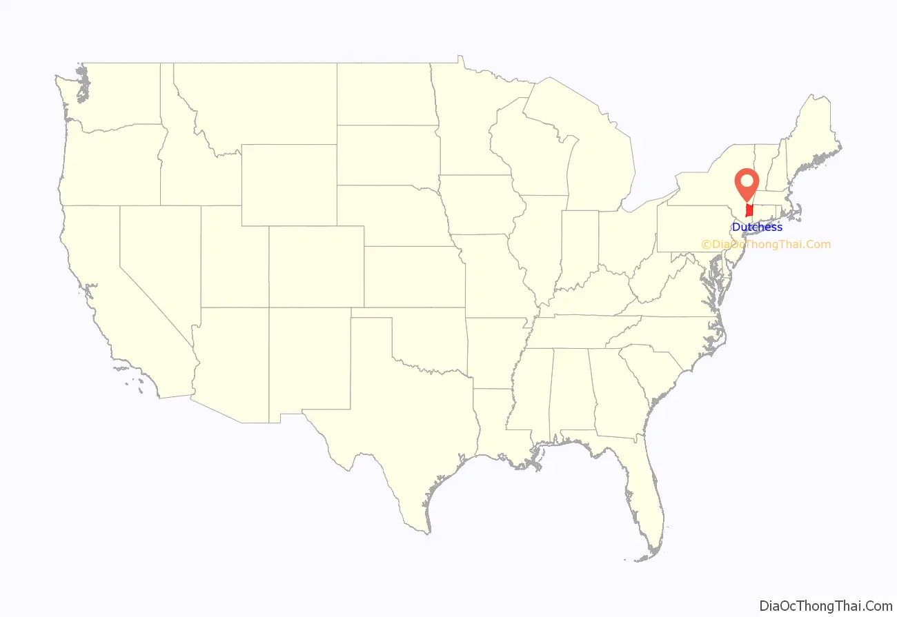
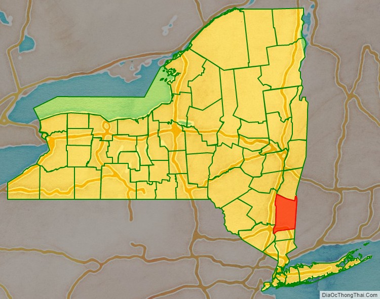
Dutchess County is a county in the U.S. state of New York. As of the 2020 census, the population was 295,911. The county seat is the city of Poughkeepsie. The county was created in 1683, one of New York’s first twelve counties, and later organized in 1713. It is located in the Mid-Hudson Region of the Hudson Valley, north of New York City.
Dutchess County is part of the Poughkeepsie–Newburgh–Middletown Metropolitan Statistical Area, which belongs to the larger New York–Newark–Bridgeport, NY-NJ-CT-PA Combined Statistical Area.
| Name: | Dutchess County |
|---|---|
| FIPS code: | 36-027 |
| State: | New York |
| Founded: | 1683 |
| Named for: | Mary of Modena, Duchess of York |
| Seat: | Poughkeepsie |
| Largest city: | Poughkeepsie |
| Total Area: | 825 sq mi (2,140 km²) |
| Land Area: | 796 sq mi (2,060 km²) |
| Total Population: | 295,911 |
| Time zone: | UTC−5 (Eastern) |
| Summer Time Zone (DST): | UTC−4 (EDT) |
| Website: | www.co.dutchess.ny.us |
Dutchess County location map. Where is Dutchess County?
History
Before Anglo-Dutch settlement, what is today Dutchess County was a leading center for the indigenous Wappinger peoples. They had their council-fire at what is now Fishkill Hook, and had settlements throughout the area.
On November 1, 1683, the Province of New York established its first twelve counties, including Dutchess. Its boundaries at that time included the present Putnam County, and a small portion of the present Columbia County (the towns of Clermont and Germantown). The county was named for Mary of Modena, Duchess of York; dutchess is an archaic spelling of the word duchess.
The Province of New York and the Connecticut Colony negotiated an agreement on November 28, 1683, establishing their border as 20 miles (32 km) east of the Hudson River, north to Massachusetts. The 61,660 acres (249.5 km) east of the Byram River making up the Connecticut Panhandle were granted to Connecticut, in recognition of the wishes of the residents. In exchange, Rye was granted to New York, along with a 1.81-mile (2.91 km) wide strip of land running north from Ridgefield to Massachusetts alongside the New York counties of Westchester, Putnam then Dutchess, known as “The Oblong”. The eastern half of the stub of land in northeast Dutchess County containing Rudd Pond and Taconic State Park is the northernmost extension of The Oblong.
Until 1713, Dutchess was administered by Ulster County. On October 23, 1713, Queen Anne gave permission for Dutchess County to elect its own officers from among their own population, including a supervisor, tax collector, tax assessor and treasurer. In 2013, Dutchess County celebrated its 300th anniversary of democracy based upon a legislative resolution sponsored by County Legislator Michael Kelsey from Salt Point. In 1812, Putnam County was detached from Dutchess.
The Patents
Fourteen royal land patents were granted between 1685 and 1706 covering the entirety of the original footprint of Dutchess County (which until 1812 included today’s Putnam County).
The first ten, granted between 1685 and 1697, covered almost all of Hudson River shoreline in the original county, with three – Rombouts, the Great Nine Partners, and Philipse Patents – extending significantly inland. The eleventh, and smallest, Cuyler, 1697, was the first to contain solely inland territory, just in from the Hudson. The twelfth, and next smallest, Fauconnier, in 1705, completed the Hudson River shoreline. The last two, Beekman, 1705, and the Little Nine Partners, 1706, laid claim to the remaining interior lands.
- 1685 Rombout (Beacon/Fishkill Area)
- 1686 Minnisinck (Sanders & Harmense)
- 1686 Kip
- 1688 Schuyler (Poughkeepsie)
- 1688 Schuyler (Red Hook)
- 1688 Ærtsen-Roosa-Elton
- 1696 Pawling-Staats
- 1697 Rhinebeck
- 1697 (Great) Nine Partners
- 1697 Philipse
- 1697 Cuyler
- 1705 Fauconnier
- 1705 Beekman (Back Lots)
- 1706 (Little) Nine Partners
Early settlement
From 1683 to 1715, most of the settlers in Dutchess County were Dutch. Many of these moved in from Albany and Ulster counties. They settled along the Fishkill Creek and in the areas that are now Poughkeepsie and Rhinebeck.
From 1715 to 1730, most of the new settlers in Dutchess county were Germans. From 1730 until 1775, New Englanders were the primary new settlers in Dutchess County.
20th century
Franklin D. Roosevelt lived in his family home in Hyde Park, overlooking the Hudson River. His family’s home is now the Home of Franklin D. Roosevelt National Historic Site, managed by the National Park Service.
Prior to the 1960s, Dutchess County was primarily agricultural. Since then the southwestern part (from Poughkeepsie southward and from the Taconic State Parkway westward) of the county has developed into a largely residential area, suburban in character, with many of its residents commuting to jobs in New York City and Westchester County. The northern and eastern regions of the county remain rural with large farmlands but at the same time developed residences used during the summer and or on weekends by people living in the New York City urban area.
Dutchess County Road Map
Geography
According to the U.S. Census Bureau, the county has a total area of 825 square miles (2,140 km), of which 796 square miles (2,060 km) is land and 30 square miles (78 km) (3.6%) is water.
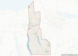
Dutchess County is located in southeastern New York State, between the Hudson River on its west and the New York–Connecticut border on its east, about halfway between the cities of Albany and New York City. It contains two cities: Beacon and Poughkeepsie. Depending on precise location within the county, road travel distance to New York City ranges between 58 miles (93 km) and 110 miles (180 km).
The terrain of the county is mostly hilly, especially in the Hudson Highlands in the southwestern corner and the Taconic Mountains to the northeast. Some areas nearer the river are flatter.
The highest point in the county is the summit of Brace Mountain, in the Taconics, at 2,311 feet (704 m) above sea level. The lowest point is sea level, along the Hudson River. The highest point of neighboring Fairfield County, Connecticut, is a 1,290-foot (390 m) point along the state line in Pawling.
Wappinger Creek, at 41.7 mi (67.1 km) from its source at Thompson Pond in Pine Plains to where it drains into the Hudson at New Hamburg, is the longest stream in the county. Its 211-square-mile (550 km) watershed is likewise the largest in the county. To its south is the 193-square-mile (500 km) watershed of Dutchess County’s second-longest stream, 33.5 mi (53.9 km) Fishkill Creek, part of which spills over into Putnam County. Within that watershed are the county’s third-longest stream, Sprout Creek, and its largest, deepest and highest lakes: Whaley (252 acres (102 ha)), in the town of Pawling; Sylvan (143 ft (44 m)) in the town of Beekman and Beacon Reservoir, in the town of Fishkill, at 1,285 ft (392 m) respectively.
Other, smaller tributaries of the Hudson such as the Saw Kill drain the northwestern portion of the county. The southeastern fringe of Dutchess is part of the upper Croton River watershed and thus part of the New York City water supply system. On the east, in the Oblong, streams drain into the Housatonic River in adjacent Connecticut.
A border nearly one-half mile (800 m) long exists with Berkshire County, Massachusetts, in the extreme northern end of the county.
Adjacent counties
- Columbia County – north
- Berkshire County, Massachusetts – northeast
- Litchfield County, Connecticut – east
- Fairfield County, Connecticut – southeast
- Putnam County – south
- Orange County – southwest
- Ulster County – west
National protected areas
- Appalachian Trail, crosses county from Putnam County line in East Fishkill to Connecticut state line near Wingdale; corridor is partly on federally protected land.
- Eleanor Roosevelt National Historic Site
- Great Thicket National Wildlife Refuge, one of six discontiguous parcels in Dover
- Home of Franklin D. Roosevelt National Historic Site
- Vanderbilt Mansion National Historic Site
State, county, and town parks
- Bowdoin County Park
- Fahnestock State Park (shared with Putnam County)
- Hudson Highlands State Park (shared with Putnam and Westchester counties)
- Stratt Town Park
- Wilcox County Park
- Tymor Forest
- Taconic State Park
- Beekman Rec
- East Fishkill Rec
- James Baird State Park
- Poughkeepsie Bridge (Walkway over the Hudson)
- Dover Stone Church
- Carnwath Farms Historic Site & Park
- Roosevelt Farm Lane
- Stony Kill Farm
- Mills–Norrie State Park
- Staatsburgh State Historic Site
- Tivoli Bays Unique Area
Privately protected open space
- Mary Flagler Cary Arboretum
- Ferncliff Forest
- Innisfree Garden
- Pawling Nature Preserve
- Poets’ Walk Park
- Thompson Pond and neighboring Stissing Mountain
