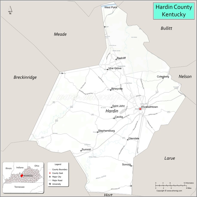
Hardin County is a county located in the central part of the U.S. state of Kentucky. Its county seat is Elizabethtown. The county was formed in 1792. Hardin County is part of the Elizabethtown-Fort Knox, KY Metropolitan Statistical Area, as well as the Louisville/Jefferson County—Elizabethtown-Bardstown, KY-IN Combined Statistical Area. As of the 2020 census, the population was 110,702.
Hardin County is known for being the birthplace of former U.S. president Abraham Lincoln, though the location is now part of neighboring LaRue County.
| Name: | Hardin County |
|---|---|
| FIPS code: | 21-093 |
| State: | Kentucky |
| Founded: | 1792 |
| Named for: | John Hardin |
| Seat: | Elizabethtown |
| Largest city: | Elizabethtown |
| Total Area: | 630 sq mi (1,600 km²) |
| Land Area: | 623 sq mi (1,610 km²) |
| Total Population: | 110,702 |
| Population Density: | 180/sq mi (68/km²) |
| Time zone: | UTC−5 (Eastern) |
| Summer Time Zone (DST): | UTC−4 (EDT) |
| Website: | www.hcky.org |
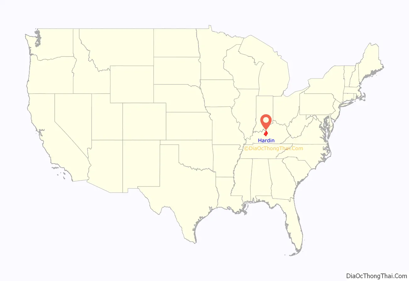
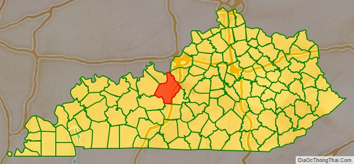
Hardin County location map. Where is Hardin County?
History
Hardin County was established in 1792 from land partitioned from Nelson County. Hardin was the 15th Kentucky county in order of formation. The county is named for Col. John Hardin, a Continental Army officer during the American Revolution and a brother of the Capt. William Hardin who founded Hardinsburg.
Courthouse fires destroyed county records in 1864 and again in 1932. The present courthouse dates from 1934.
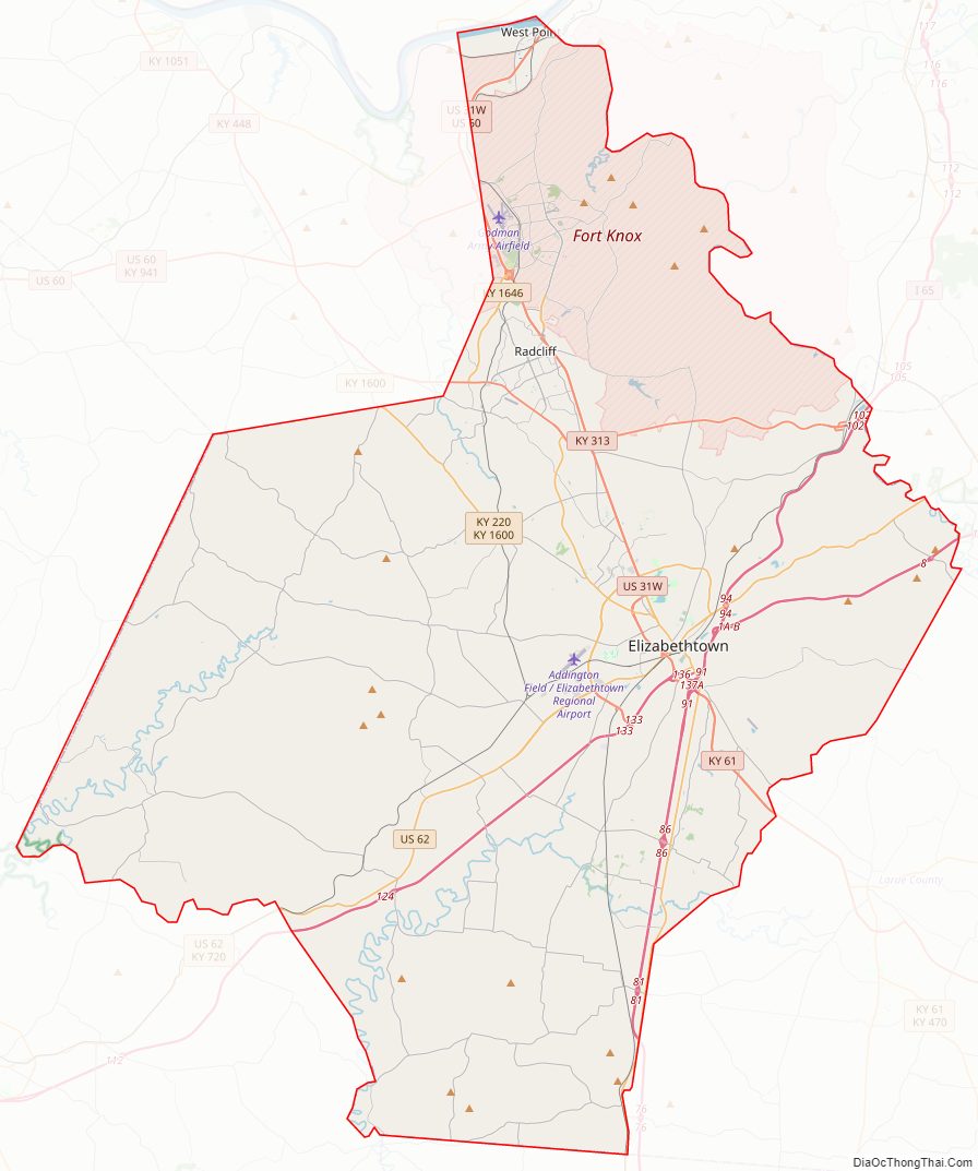
Hardin County Road Map
Geography
According to the United States Census Bureau, the county has a total area of 630 square miles (1,600 km), of which 623 square miles (1,610 km) is land and 6.9 square miles (18 km) (1.1%) is water. It is the fourth-largest county by area in Kentucky.
Adjacent counties
Hardin County borders nine counties, more than any other county in Kentucky.
- Louisville-Jefferson County (northeast)
- Bullitt County (northeast)
- Nelson County (east)
- LaRue County (southeast)
- Hart County (south//CST Border)
- Grayson County (southwest/CST Border)
- Breckinridge County (west/CST Border)
- Meade County (northwest)
- Harrison County, Indiana (north)
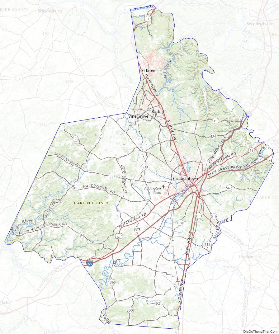
Hardin County Topographic Map
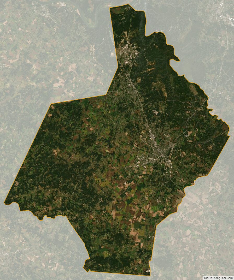
Hardin County Satellite Map
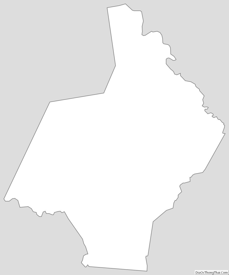
Hardin County Outline Map