Radcliff is a home rule-class city in Hardin County, Kentucky, in the United States. The population was 21,692 at the 2010 census, and in 2019 the estimated population was 22,914. It is included in the Elizabethtown–Fort Knox Metropolitan Area.
Its economy is largely dominated by the adjacent U.S. Army base Fort Knox and by the nearby city of Elizabethtown. Radcliff’s population previously fluctuated greatly depending on the deployments of the units at the base, but the BRAC reorganization of 2005, and the quartering of the U.S. Army’s Human Resources Command to Fort Knox has created a larger and more stable population.
| Name: | Radcliff city |
|---|---|
| LSAD Code: | 25 |
| LSAD Description: | city (suffix) |
| State: | Kentucky |
| County: | Hardin County |
| Incorporated: | 1956 |
| Elevation: | 771 ft (235 m) |
| Total Area: | 13.39 sq mi (34.67 km²) |
| Land Area: | 13.36 sq mi (34.59 km²) |
| Water Area: | 0.03 sq mi (0.08 km²) |
| Total Population: | 23,042 |
| Population Density: | 1,725.22/sq mi (666.10/km²) |
| ZIP code: | 40159-40160 |
| Area code: | 270 & 364 |
| FIPS code: | 2163912 |
| GNISfeature ID: | 0501516 |
| Website: | www.radcliff.org |
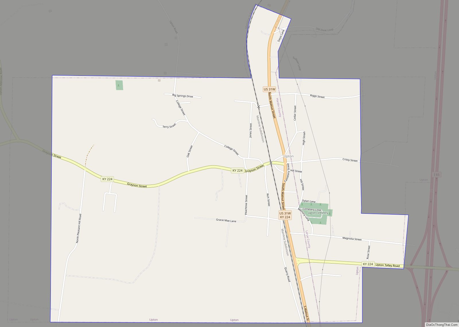
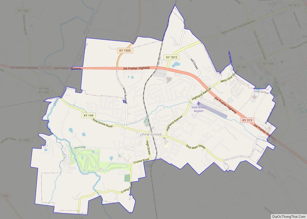
Online Interactive Map
Click on ![]() to view map in "full screen" mode.
to view map in "full screen" mode.
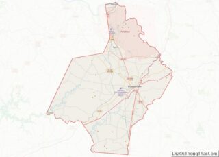
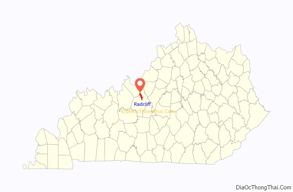
Radcliff location map. Where is Radcliff city?

History
Incorporated in 1956, Radcliff was first settled in 1919, when Horace McCullum subdivided lots along Wilson Avenue and sold them at auction to the highest bidder. McCullum named the new community after Major William Radcliffe, head of the Quartermaster Corps at the newly established Camp Henry Knox. After selling the general store he had opened in the new town, McCullum no longer played a role in its development.
The next significant step in Radcliff’s history took place during the 1930s when Fort Knox expanded and dislocated the towns of Stithton and New Stithton, causing various residents and businesses of those communities to move to Radcliff. During World War II, thousands of soldiers trained at Fort Knox and spent their leisure hours at the USO in Radcliff.
Hardin Water District No. 1 was formed in 1953, and became a reality in 1955 with the sale of bonds to finance the project. Today, the water district is the principal source of fresh water to all Hardin County. Radcliff’s fire department was established in 1955, with Joseph B. Hutcherson the first fire chief. The Radcliff Civic Club was also organized that year. The city incorporated in March 1956 as a 6th-class city. Radcliff Police Department was formed with officers paid on a fee basis. The population was estimated at 800. Radcliff’s population growth over the last 50 years is due to the transient military population, and trends are showing a plateau and decline. At one time, Radcliff was larger than Elizabethtown, but that was short-lived after the 2000 census and more so after the BRAC transformation at the beginning of the 21st century. Starting with 800 in 1956, the Census Bureau reported populations of 3,381 in 1960, 8,281 in 1970, 14,519 in 1980, and 21,961 in 2000.
In 1988, a youth group from the First Assembly of God in Radcliff was involved in the worst drunk-driving incident in U.S. history, a bus collision in which a drunk driver going the wrong way on Interstate 71 hit the group’s vehicle, killing 27 people.
In mid-October 2011, the city voted to approve alcohol sales, which began in January 2012.
Former Kentucky state representative Mike Weaver was elected mayor in 2014 and took office in 2015 for a four-year term. City council members Barbara Baker, Stan Holmes, Edward L. Palmer, T. W. Shortt, Kim Thompson and Chris Yates were also elected in 2014 and took office in 2015, each for a two-year term.
The November 8, 2016, general election for Radcliff City Council ended with all current councilmembers reelected except Shortt, who had run for Kentucky State Representative. Radcliff community leader and businesswoman Tanya Seabrooks was elected to fill the seat Shortt vacated, defeating five other candidates. She took the oath of office in December 2016 for a two-year term. Shortt was defeated in his bid for state representative by the incumbent, Dean Schamore.
In the 2020 general election for the City Council, all but two incumbent members of the city council were re-elected. Barbara Baker lost her seat after finishing eighth in the race and Edward Palmer decided not to run for re-election. The two newly elected to the council were Terry Owens who finished second and Toshie Murrell who finished fifth. Incumbent Tanya Seabrooks was re-elected, having finished fourth, but died a month after the election. In a special-called meeting on January 7, 2021, the city council unanimously appointed Aundra Lett Jackson, who finished seventh in the race, as the council’s sixth member to serve Seabrooks’ term.
The 2022 election for the Radcliff City Council saw incumbents Terry Owens, Kim Thompson, Pamela DeRoche, and Toshie Murrell win re-election. Chris Yates did not run for another term on the city council, instead running as a Democratic Party candidate in the magisterial election for the first district of the Hardin County fiscal court, where he defeated independent candidate Edward Palmer. Aundra Lett Jackson did not win enough votes to secure a second term. Jerry Brown, who had previously served five terms as a member of the city council, and Michelle Harmon, an owner of an ice cream shop and a volunteer in the community, won seats on the city council. Brown and Harmon were sworn in as members of the City Council on December 20, 2022.
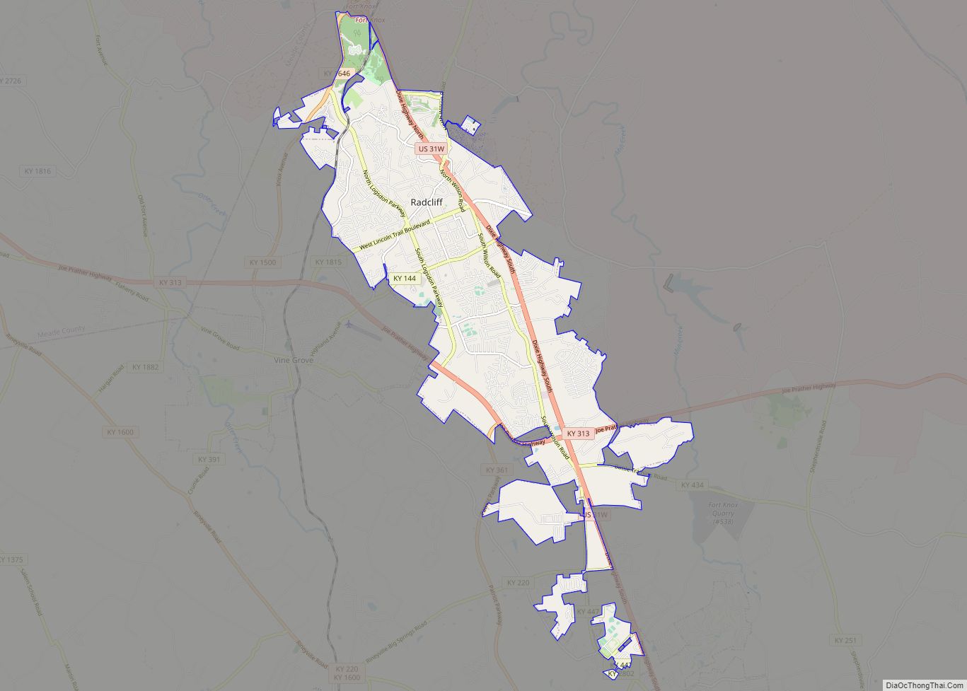
Radcliff Road Map

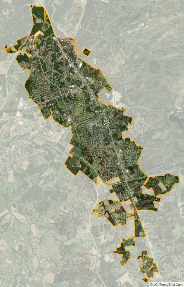
Radcliff city Satellite Map
Geography
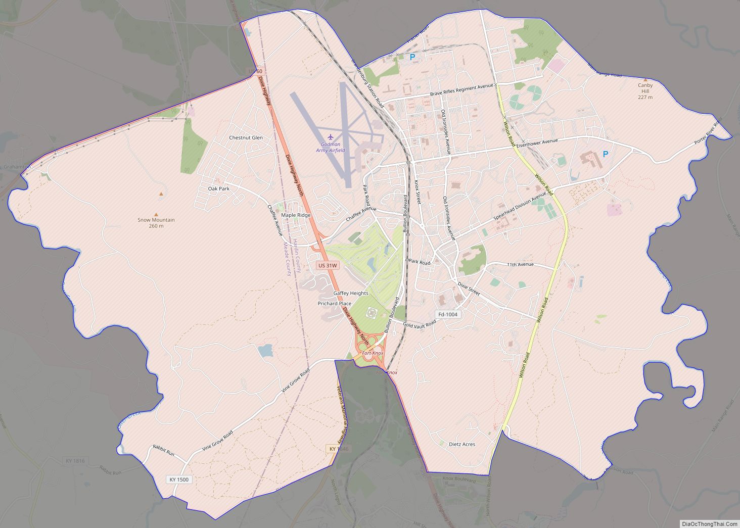
Radcliff is in northern Hardin County at 37°49′48″N 85°56′44″W / 37.83000°N 85.94556°W / 37.83000; -85.94556 (37.829918, -85.945541). It is bordered to the north by Fort Knox and to the west by Vine Grove. U.S. Route 31W runs through the east side of the city, leading north 34 miles (55 km) to Louisville and south 11 miles (18 km) to Elizabethtown.
According to the United States Census Bureau, Radcliff has a total area of 12.4 square miles (32.2 km), of which 12.4 square miles (32.1 km) are land and 0.04 square miles (0.1 km), or 0.25%, are water.
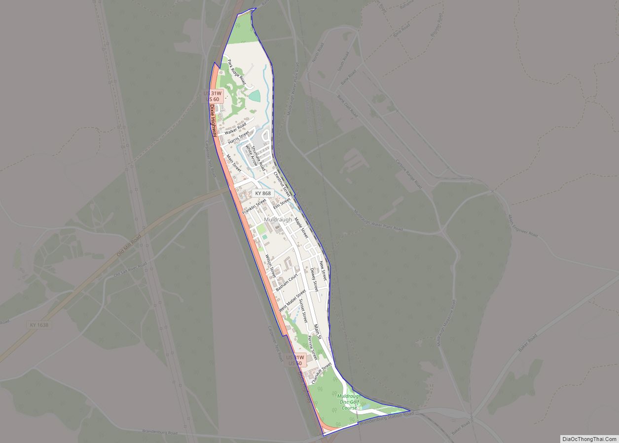
The former unincorporated community of Rogersville, named for a local family, is in the southern part of Radcliff along US 31W and Kentucky Route 447.
See also
Map of Kentucky State and its subdivision:- Adair
- Allen
- Anderson
- Ballard
- Barren
- Bath
- Bell
- Boone
- Bourbon
- Boyd
- Boyle
- Bracken
- Breathitt
- Breckinridge
- Bullitt
- Butler
- Caldwell
- Calloway
- Campbell
- Carlisle
- Carroll
- Carter
- Casey
- Christian
- Clark
- Clay
- Clinton
- Crittenden
- Cumberland
- Daviess
- Edmonson
- Elliott
- Estill
- Fayette
- Fleming
- Floyd
- Franklin
- Fulton
- Gallatin
- Garrard
- Grant
- Graves
- Grayson
- Green
- Greenup
- Hancock
- Hardin
- Harlan
- Harrison
- Hart
- Henderson
- Henry
- Hickman
- Hopkins
- Jackson
- Jefferson
- Jessamine
- Johnson
- Kenton
- Knott
- Knox
- Larue
- Laurel
- Lawrence
- Lee
- Leslie
- Letcher
- Lewis
- Lincoln
- Livingston
- Logan
- Lyon
- Madison
- Magoffin
- Marion
- Marshall
- Martin
- Mason
- McCracken
- McCreary
- McLean
- Meade
- Menifee
- Mercer
- Metcalfe
- Monroe
- Montgomery
- Morgan
- Muhlenberg
- Nelson
- Nicholas
- Ohio
- Oldham
- Owen
- Owsley
- Pendleton
- Perry
- Pike
- Powell
- Pulaski
- Robertson
- Rockcastle
- Rowan
- Russell
- Scott
- Shelby
- Simpson
- Spencer
- Taylor
- Todd
- Trigg
- Trimble
- Union
- Warren
- Washington
- Wayne
- Webster
- Whitley
- Wolfe
- Woodford
- Alabama
- Alaska
- Arizona
- Arkansas
- California
- Colorado
- Connecticut
- Delaware
- District of Columbia
- Florida
- Georgia
- Hawaii
- Idaho
- Illinois
- Indiana
- Iowa
- Kansas
- Kentucky
- Louisiana
- Maine
- Maryland
- Massachusetts
- Michigan
- Minnesota
- Mississippi
- Missouri
- Montana
- Nebraska
- Nevada
- New Hampshire
- New Jersey
- New Mexico
- New York
- North Carolina
- North Dakota
- Ohio
- Oklahoma
- Oregon
- Pennsylvania
- Rhode Island
- South Carolina
- South Dakota
- Tennessee
- Texas
- Utah
- Vermont
- Virginia
- Washington
- West Virginia
- Wisconsin
- Wyoming