Johnson County is a county located in the U.S. state of Indiana. As of 2020, the population was 161,765. The county seat is Franklin.
Johnson County is included in the Indianapolis-Carmel–Anderson, IN Metropolitan Statistical Area.
| Name: | Johnson County |
|---|---|
| FIPS code: | 18-081 |
| State: | Indiana |
| Founded: | 1823 |
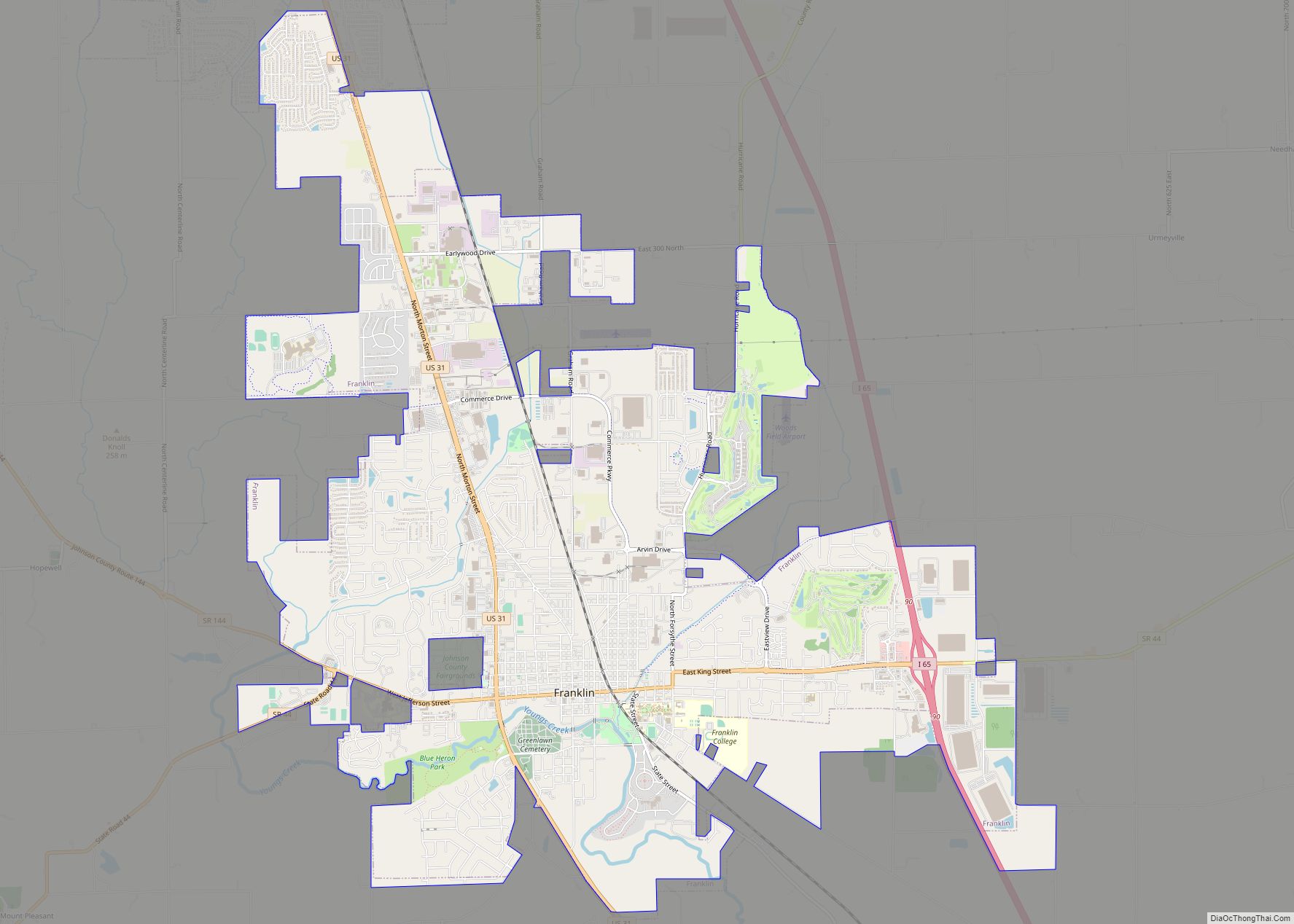
| Seat: | Franklin |
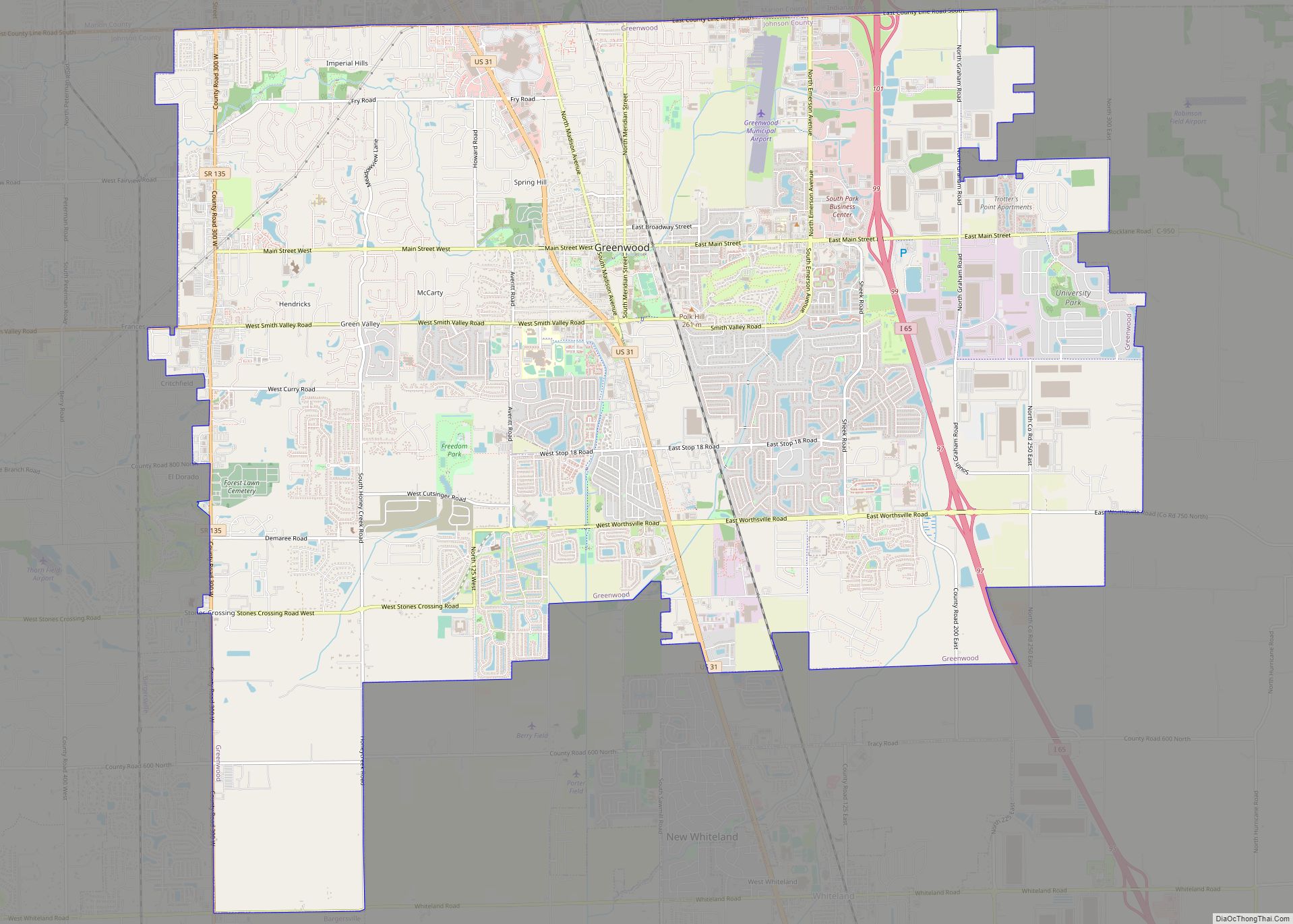
| Largest city: | Greenwood |
| Total Area: | 321.79 sq mi (833.4 km²) |
| Land Area: | 320.43 sq mi (829.9 km²) |
| Total Population: | 161,765 |
| Population Density: | 436/sq mi (168.4/km²) |
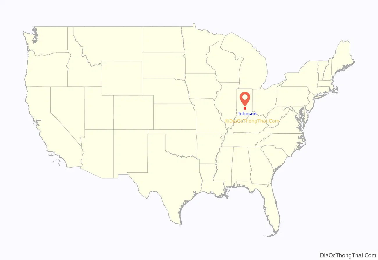
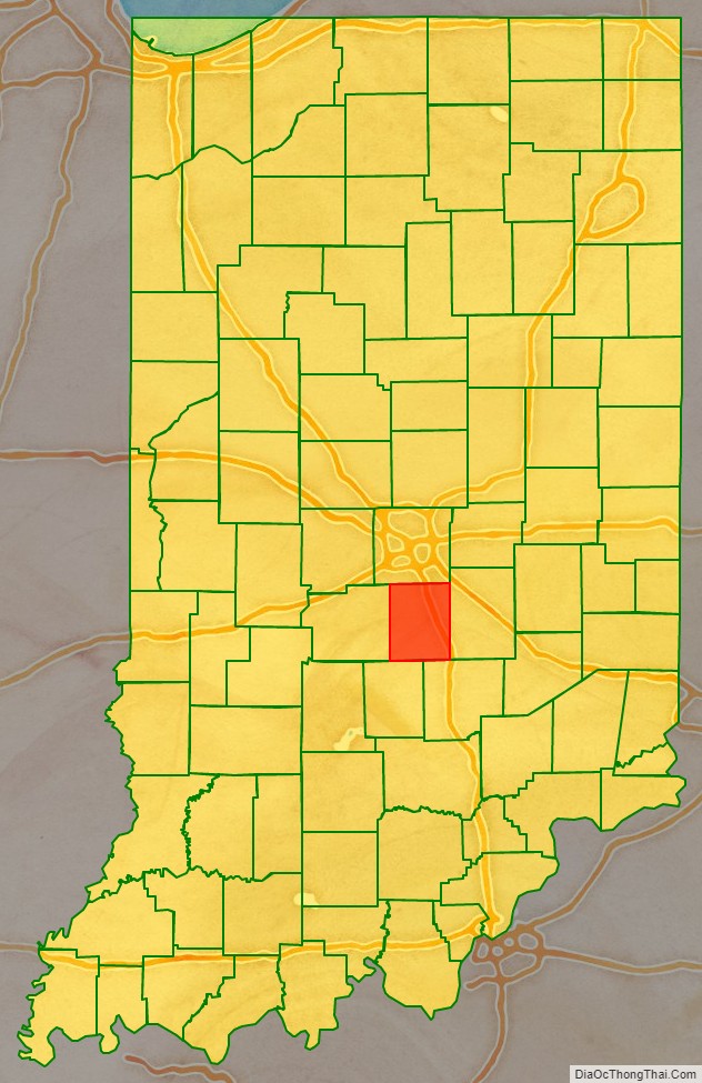
Johnson County location map. Where is Johnson County?
History
Johnson County was formed in 1823. It was named for John Johnson, a Justice of the Indiana Supreme Court. This is probably John Johnson of Knox County, delegate to the State constitutional convention, appointed to the Supreme Court in 1816.
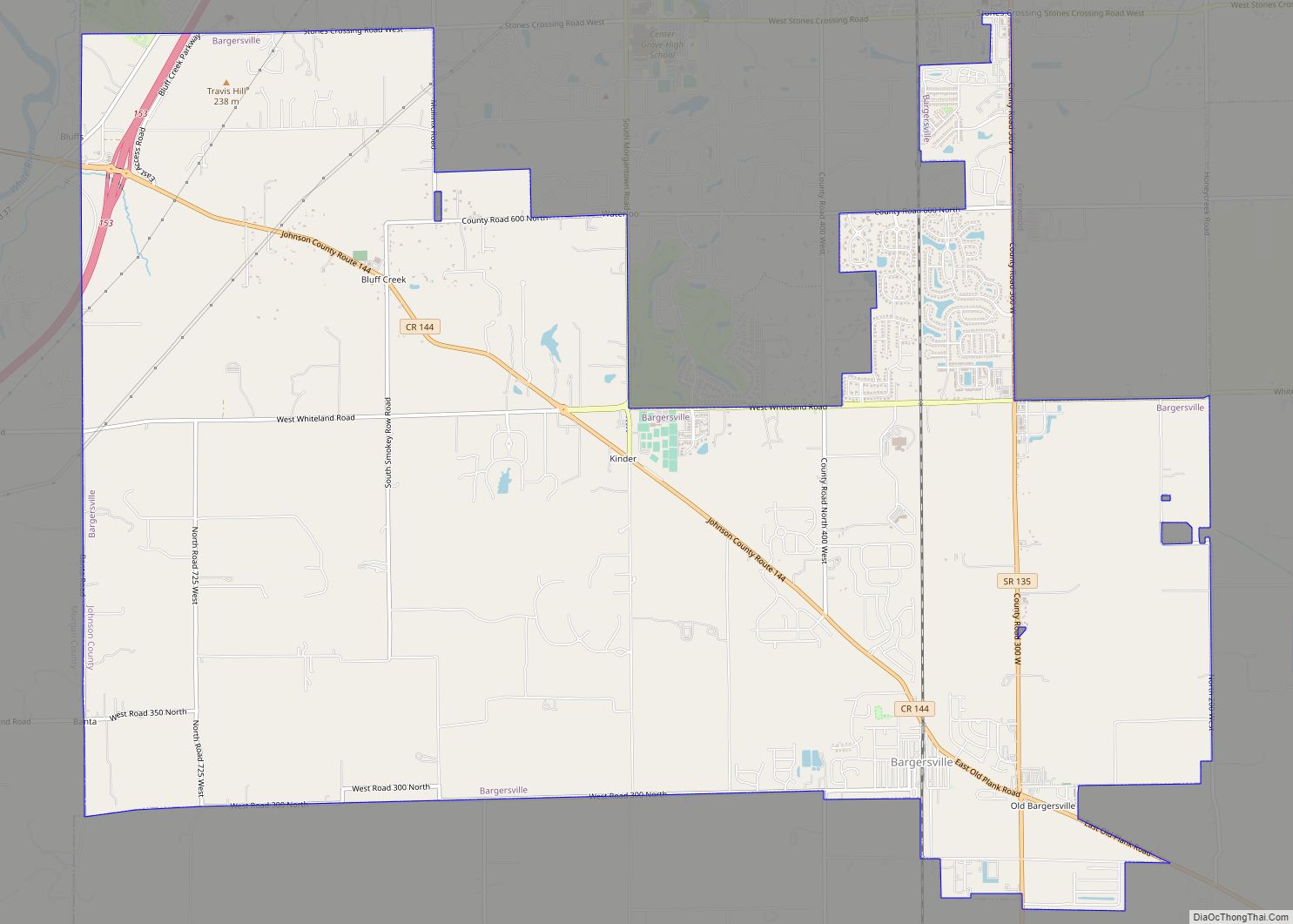
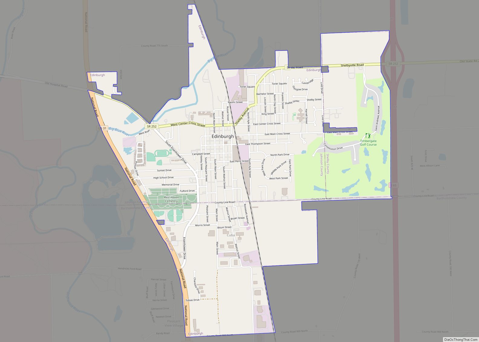
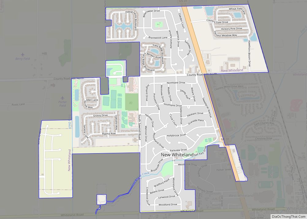
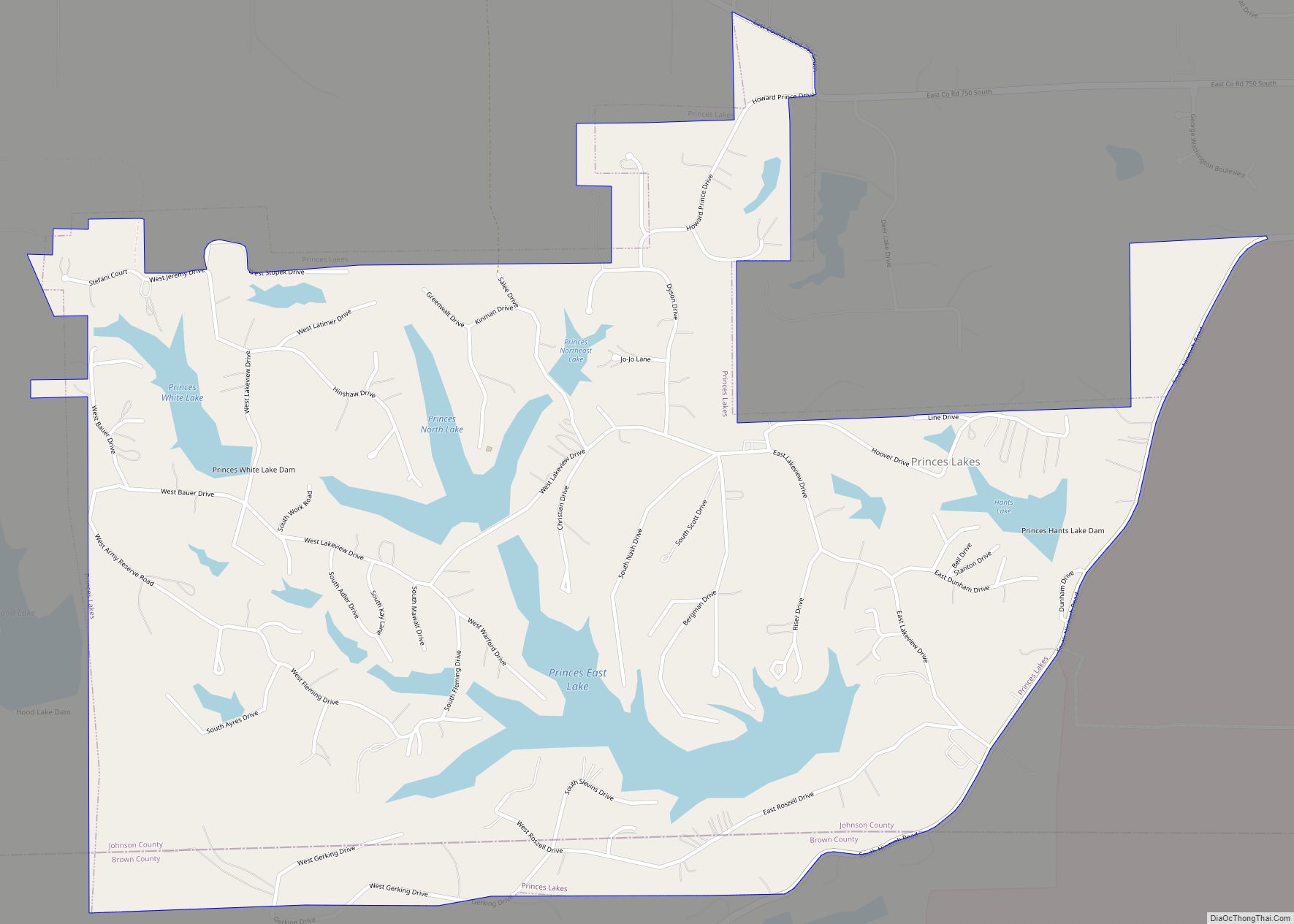
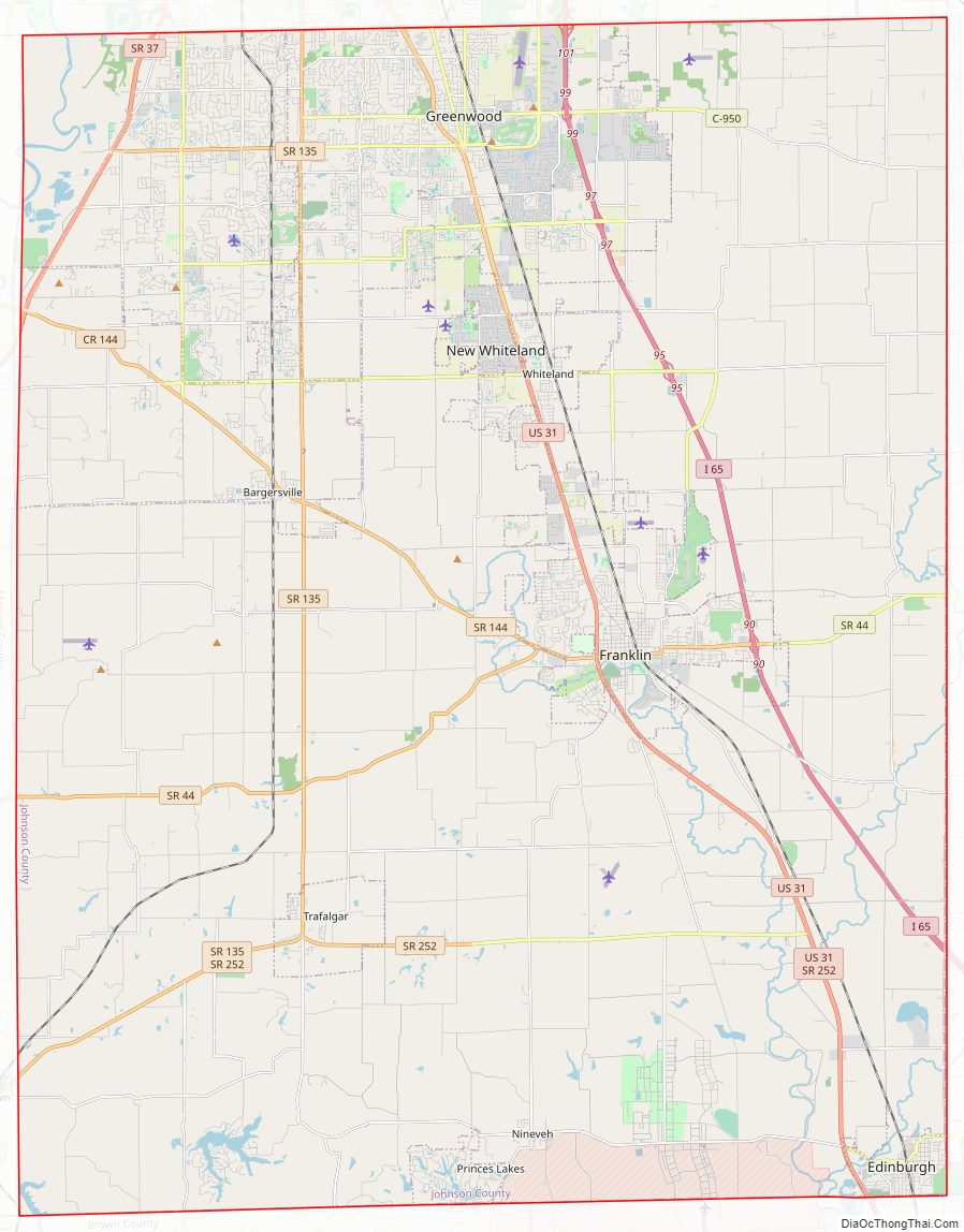
Johnson County Road Map
Geography
According to the 2010 census, the county has a total area of 321.79 square miles (833.4 km), of which 320.43 square miles (829.9 km) (or 99.58%) is land and 1.36 square miles (3.5 km) (or 0.42%) is water.
Adjacent counties
- Marion County (north)
- Shelby County (east)
- Bartholomew County (southeast)
- Brown County (southwest)
- Morgan County (west)
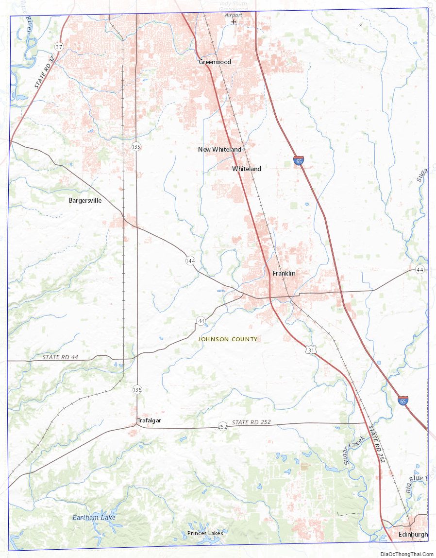
Johnson County Topographic Map
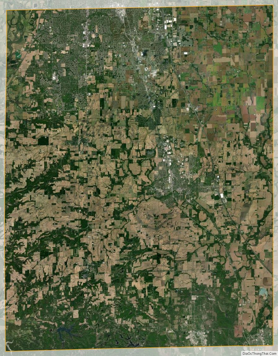
Johnson County Satellite Map
Johnson County Outline Map