Anderson is a city in Madison County, Indiana, United States. Named after Chief William Anderson, it is the county seat of Madison County. The city is the headquarters of the Church of God (Anderson) and home of Anderson University, which is affiliated with the Church of God. Highlights of the city include the historic Paramount Theatre and the Gruenewald House.
The population was 54,788 at the 2020 census.
| Name: | Anderson city |
|---|---|
| LSAD Code: | 25 |
| LSAD Description: | city (suffix) |
| State: | Indiana |
| County: | Madison County |
| Elevation: | 879 ft (268 m) |
| Total Area: | 41.71 sq mi (108.04 km²) |
| Land Area: | 41.60 sq mi (107.74 km²) |
| Water Area: | 0.11 sq mi (0.29 km²) |
| Total Population: | 54,788 |
| Population Density: | 1,317.08/sq mi (508.52/km²) |
| ZIP code: | 46011, 46012, 46013, 46016, 46017 |
| Area code: | 765 |
| FIPS code: | 1801468 |
| Website: | www.cityofanderson.com |
Online Interactive Map
Click on ![]() to view map in "full screen" mode.
to view map in "full screen" mode.
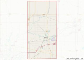
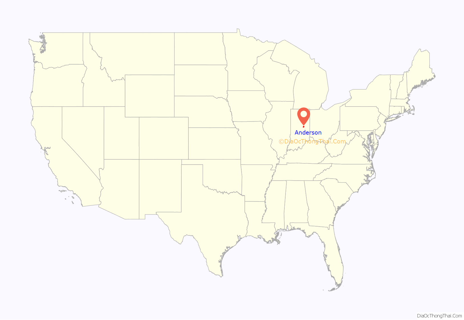
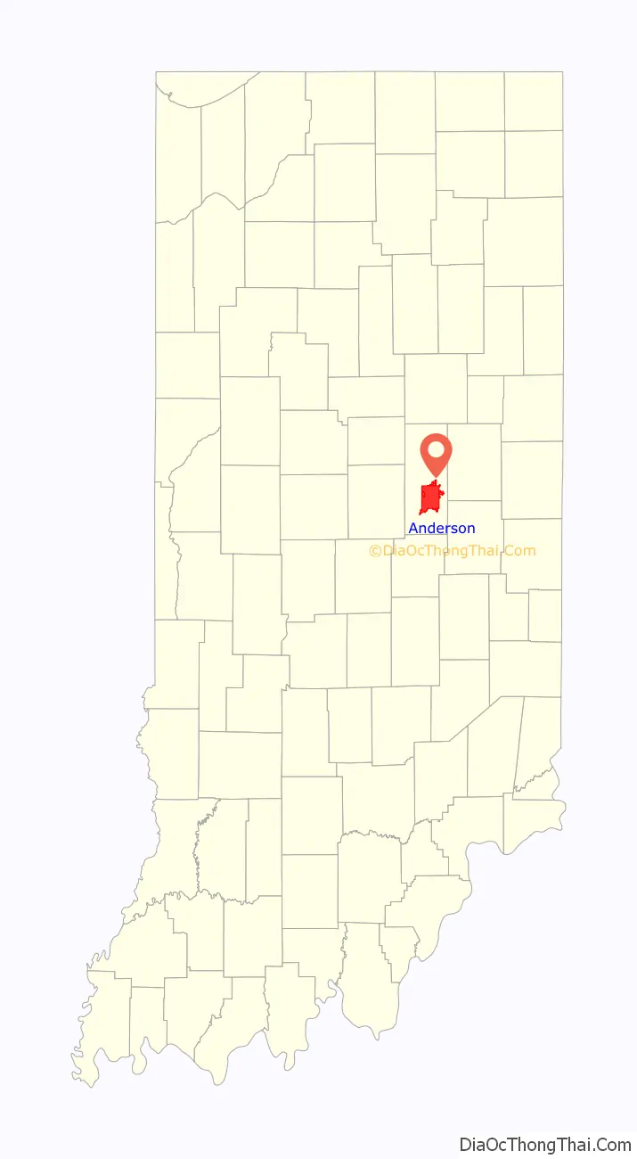
Anderson location map. Where is Anderson city?
History
Prior to the organization of Madison County, William Conner entered the land upon which Anderson is located. Conner later sold the ground to John and Sarah Berry, who donated 32 acres (13 ha) of their land to Madison County on the condition that the county seat be moved from Pendleton to Anderson. John Berry laid out the first plat of Anderson on November 7, 1827. In 1828 the seat of justice was moved from Pendleton to Anderson.
The city is named for Chief William “Adam” Anderson, whose mother was Lenape and whose father was of Swedish descent. Chief Anderson’s name in Lenape was Kikthawenund, meaning “creaking boughs”. The Lenape village was known as “Anderson’s Town”, though the Moravian missionaries called it “The Heathen Town Four Miles Away”. Anderson was also known as “Andersonton” before being formally organized as Anderson.
Introduction of internal improvements by the Mammoth Internal Improvement Act caused a growth in the population in 1837. In December 1838, Anderson was incorporated as a town with 350 inhabitants. The Central Canal, a branch of the Wabash and Erie Canal, was planned to come through Anderson. Work continued on the canal during 1838 and the beginning of 1839, but the work was soon suspended by the state following effects of the Panic of 1837. The town again became a sleepy village until 1849, when it was incorporated a second time as a town. Many new commercial ventures located around the courthouse square.
This incorporation was short-lived, and Anderson once again went back to village status in 1852. However, with the completion of the Indianapolis Bellefontaine Railroad, as well as their station in 1852, Anderson burst to life. The third incorporation of Anderson as a town occurred on June 9, 1853. The population continued to increase. On August 28, 1865, with a population of nearly 1,300 people, Anderson was incorporated as a city.
Between 1853 and the late 19th century, twenty industries of various sizes located there. On March 31, 1887, natural gas was discovered in Anderson. As the Indiana gas boom began, this discovery led new businesses that could use natural gas, such as glass-making, to move to the city. Anderson grew to such proportions that a Cincinnati newspaper editor labeled the city “The Pittsburgh on White River”. Other appellations were “Queen City of the Gas Belt” and (because of the vulcanizing and rubber tire manufacturing business) “Puncture Proof City”.
In 1897 the Interurban Railroad was born in Anderson. Charles Henry, a large stock holder, coined the term “Interurban” in 1893. It continued to operate until 1941.
The year 1912 spelled disaster for Anderson: the natural gas ran out. The city had left its gas-powered lights on day and night, and there are stories of a pocket of natural gas being lit in the river and burning for a prolonged period for the spectacle of it. The result of the loss of natural gas was that several factories moved out. The whole city slowed down. The Commercial Club (formed on November 18, 1905) was the forerunner of the present chamber of commerce.
This club persuaded the Remy brothers to stay in Anderson and others to locate there. For decades, Delco Remy and Guide Lamp (later Fisher Guide), which during World War II built the M3 submachine gun and the FP-45 Liberator pistol for the Allies, were the top two employers in the city. From 1913 through the 1950s, the Ward-Stilson Company was one of the country’s largest producers of uniforms, regalia, furniture and props for the Freemasons, the Odd Fellows, and dozens of other U.S. fraternal organizations.
The Church of God of Anderson located its world headquarters in Anderson in 1905. Anderson Bible School was opened in 1917, and this was separated from Gospel Trumpet (now known as Warner Press) in 1925. At the same time, it became known as Anderson Bible School and Seminary. In 1925, the name was changed to Anderson College and eventually to Anderson University in 1988.
Over the years, 17 different types of automobiles were manufactured in Anderson, with the Lambert family among the city’s leaders in its development and the Buckeye Gasoline Buggy the Lambert product. Many other inventions were perfected in Anderson, including the gas regulator (Miron G. Reynolds), the stamp vending machine (Frank P. Dunn), clothes presser (H. Donald Forse), “Irish Mail” handcars (Hugh Hill), flower car for funeral homes (Francis M. McClain, automatic gearshift (Von D. Polhemus)), Sisson choke (Glenn Sisson), and the vulcanizing process to retread tires (Charles E. Miller).
Anderson hosted a National Basketball Association (NBA) franchise for the 1949–50 season, being one of the smaller cities to have had a major league franchise in a Big Four American sport. The Anderson Packers were a founding member of the NBA (under that name), but folded after one season.
Like most other industrial cities in Indiana and the Rust Belt as a whole, Anderson suffered tremendously from deindustrialization in the 1970s and 1980s. For example, nearly 22,000 people were employed by General Motors in the 1970s in Anderson; by 2006 this number had declined to fewer than 2,600. Anderson has since struggled with higher rates of poverty and unemployment.
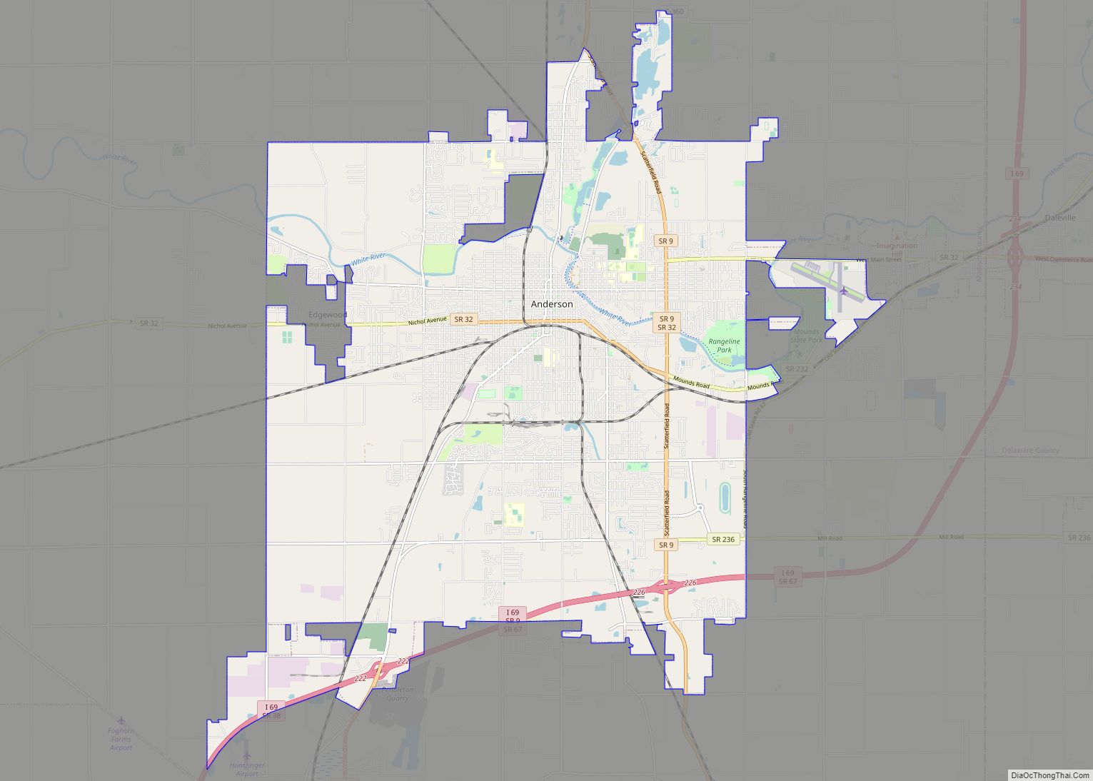
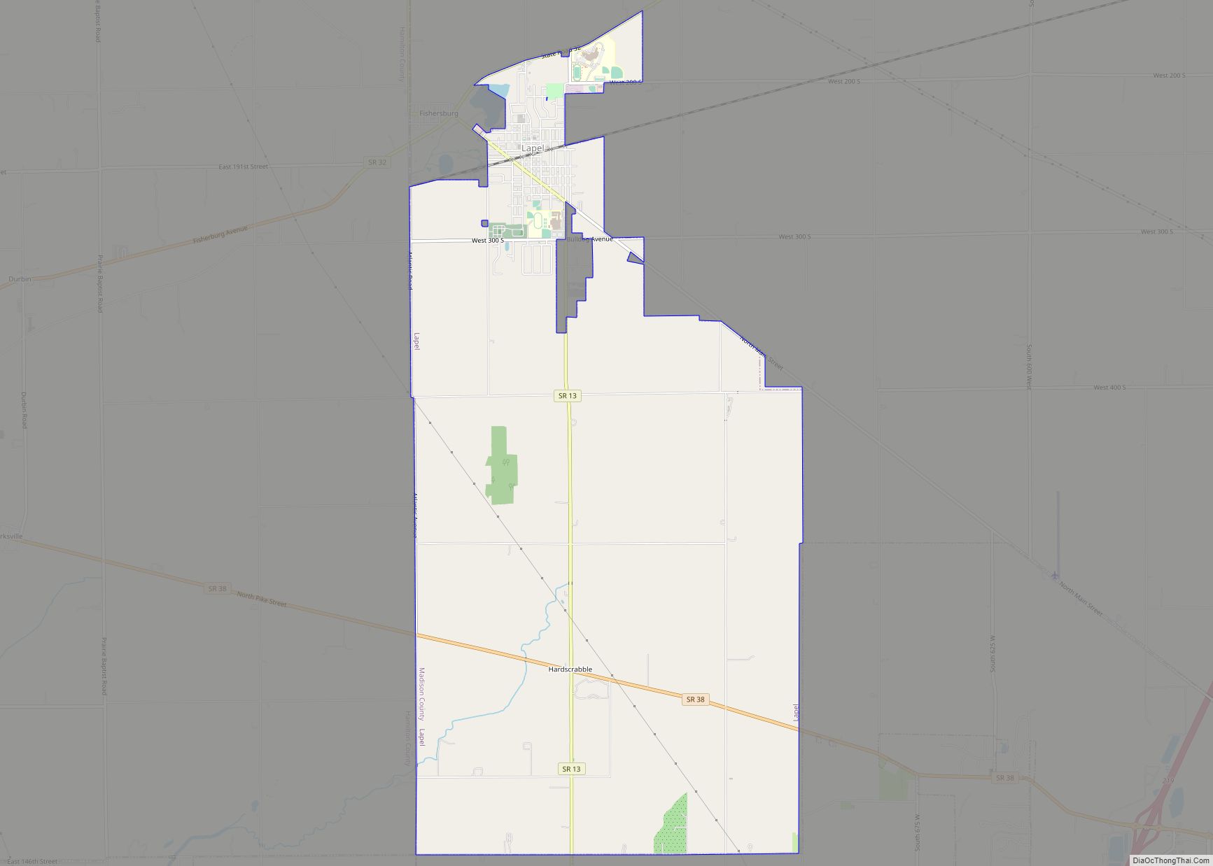
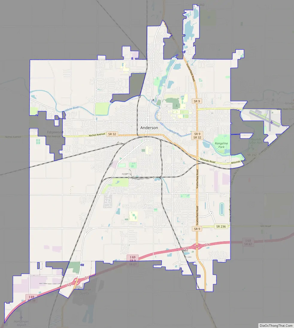
Anderson Road Map
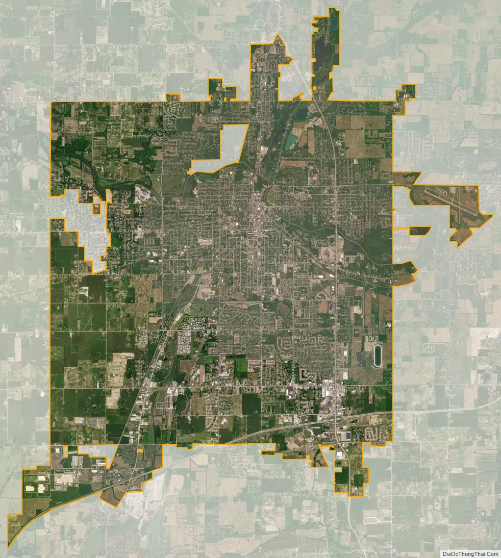
Anderson city Satellite Map
Geography
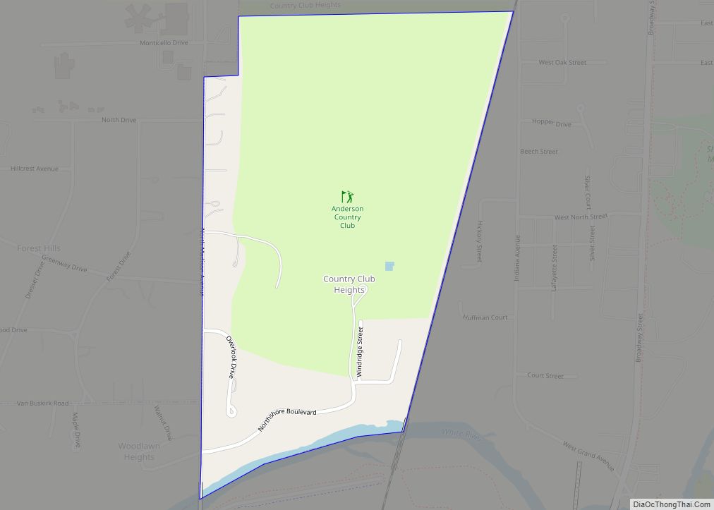
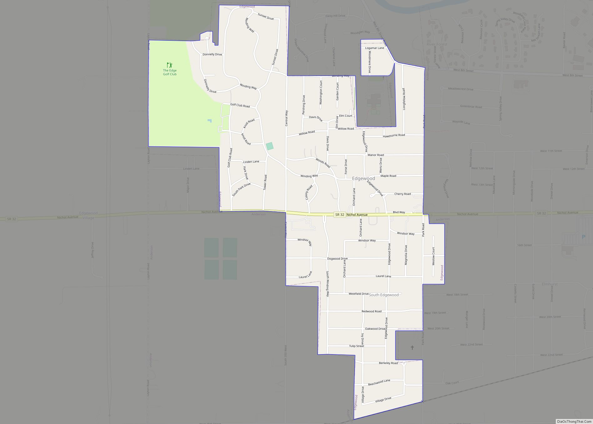
Anderson is located in south-central Madison County at 40°06′00″N 85°40′53″W / 40.100041°N 85.681525°W / 40.100041; -85.681525. The city of Anderson occupies all of Anderson Township except for the much smaller communities of Country Club Heights, Edgewood, River Forest, and Woodlawn Heights, as well as small parts of five other townships: Lafayette, Richland, Union, Adams, and Fall Creek.
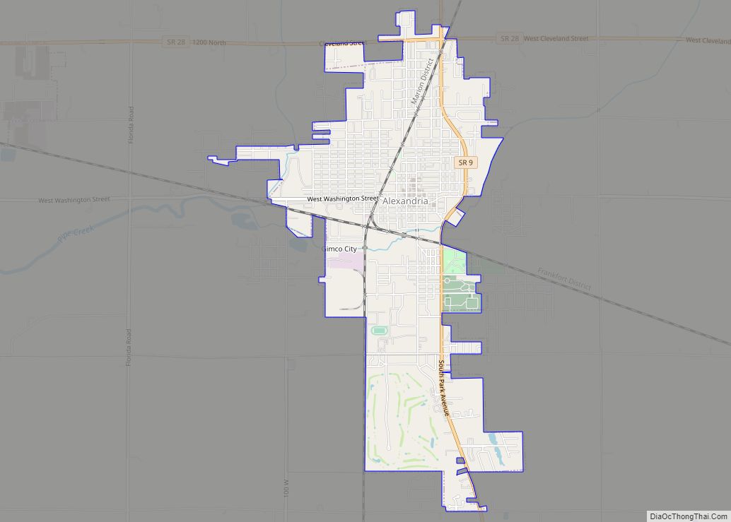
Indiana State Road 32 (14th Street) crosses the city center, leading east-northeast 19 miles (31 km) to Muncie and west-southwest the same distance to Noblesville. State Road 9 (Scatterfield Road) crosses the east side of the city, leading north 11 miles (18 km) to Alexandria and southwest 10 miles (16 km) to Pendleton. Interstate 69 crosses the southeast corner of the city, with access from Exit 226 (SR 9/SR 109). I-69 leads southwest 40 miles (64 km) to Indianapolis and northeast 83 miles (134 km) to Fort Wayne.
According to the U.S. Census Bureau, Anderson has a total area of 41.7 square miles (108.00 km), of which 41.6 square miles (108 km) are land and 0.1 square miles (0.3 km), or 0.27%, are water. The White River flows east to west through the northern part of the city.
Climate
See also
Map of Indiana State and its subdivision:- Adams
- Allen
- Bartholomew
- Benton
- Blackford
- Boone
- Brown
- Carroll
- Cass
- Clark
- Clay
- Clinton
- Crawford
- Daviess
- De Kalb
- Dearborn
- Decatur
- Delaware
- Dubois
- Elkhart
- Fayette
- Floyd
- Fountain
- Franklin
- Fulton
- Gibson
- Grant
- Greene
- Hamilton
- Hancock
- Harrison
- Hendricks
- Henry
- Howard
- Huntington
- Jackson
- Jasper
- Jay
- Jefferson
- Jennings
- Johnson
- Knox
- Kosciusko
- LaGrange
- Lake
- Lake Michigan
- LaPorte
- Lawrence
- Madison
- Marion
- Marshall
- Martin
- Miami
- Monroe
- Montgomery
- Morgan
- Newton
- Noble
- Ohio
- Orange
- Owen
- Parke
- Perry
- Pike
- Porter
- Posey
- Pulaski
- Putnam
- Randolph
- Ripley
- Rush
- Saint Joseph
- Scott
- Shelby
- Spencer
- Starke
- Steuben
- Sullivan
- Switzerland
- Tippecanoe
- Tipton
- Union
- Vanderburgh
- Vermillion
- Vigo
- Wabash
- Warren
- Warrick
- Washington
- Wayne
- Wells
- White
- Whitley
- Alabama
- Alaska
- Arizona
- Arkansas
- California
- Colorado
- Connecticut
- Delaware
- District of Columbia
- Florida
- Georgia
- Hawaii
- Idaho
- Illinois
- Indiana
- Iowa
- Kansas
- Kentucky
- Louisiana
- Maine
- Maryland
- Massachusetts
- Michigan
- Minnesota
- Mississippi
- Missouri
- Montana
- Nebraska
- Nevada
- New Hampshire
- New Jersey
- New Mexico
- New York
- North Carolina
- North Dakota
- Ohio
- Oklahoma
- Oregon
- Pennsylvania
- Rhode Island
- South Carolina
- South Dakota
- Tennessee
- Texas
- Utah
- Vermont
- Virginia
- Washington
- West Virginia
- Wisconsin
- Wyoming