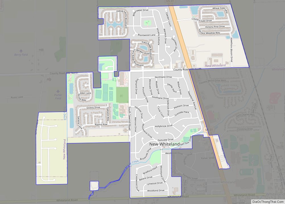
New Whiteland is a town in Pleasant Township, Johnson County, Indiana, United States. The population was 5,550 at the 2020 census.
| Name: | New Whiteland town |
|---|---|
| LSAD Code: | 43 |
| LSAD Description: | town (suffix) |
| State: | Indiana |
| County: | Johnson County |
| Elevation: | 807 ft (246 m) |
| Total Area: | 1.45 sq mi (3.76 km²) |
| Land Area: | 1.45 sq mi (3.76 km²) |
| Water Area: | 0.00 sq mi (0.00 km²) |
| Total Population: | 5,550 |
| Population Density: | 3,819.68/sq mi (1,474.81/km²) |
| ZIP code: | 46184 |
| Area code: | 317 |
| FIPS code: | 1853874 |
| GNISfeature ID: | 0440125 |
| Website: | newwhiteland.in.gov |
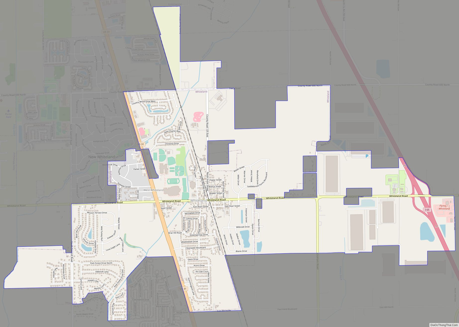
Online Interactive Map
Click on ![]() to view map in "full screen" mode.
to view map in "full screen" mode.
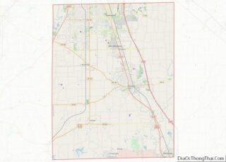
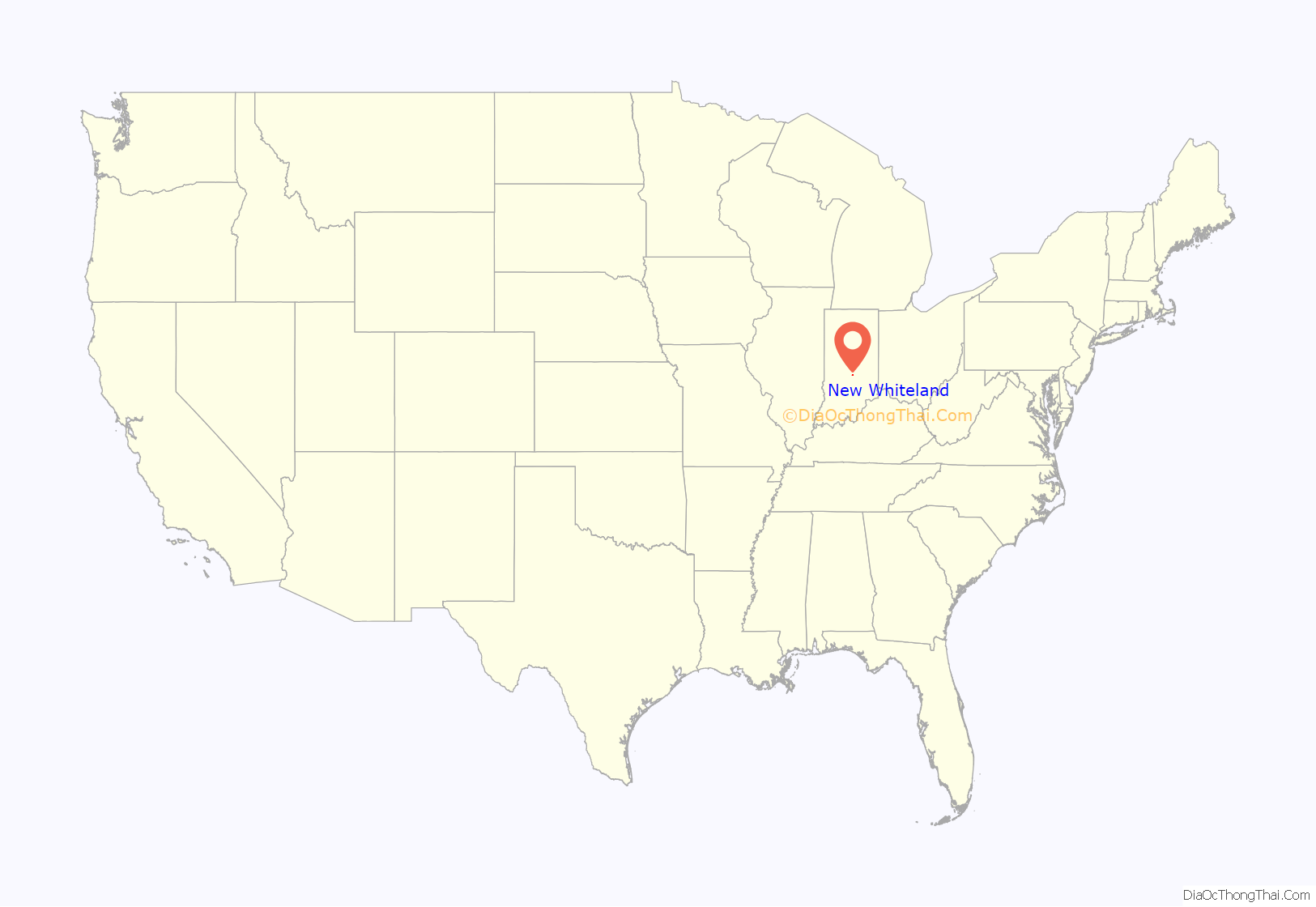
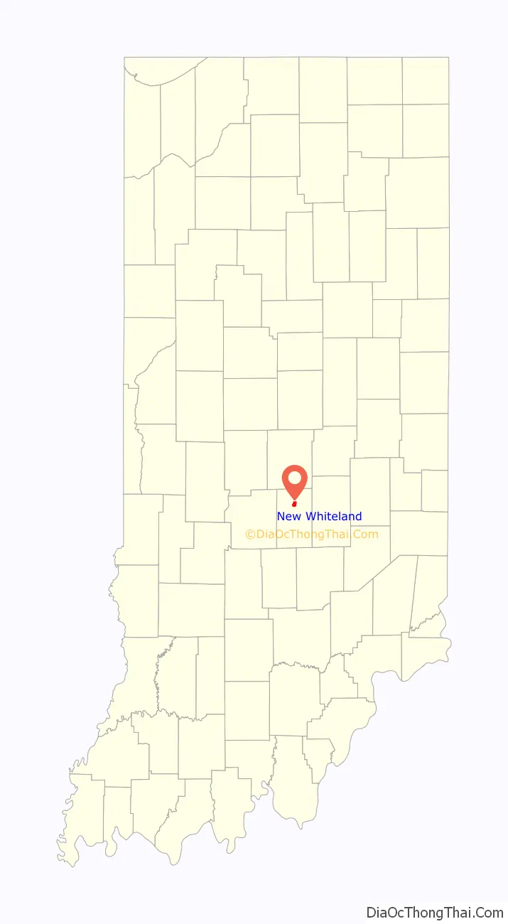
New Whiteland location map. Where is New Whiteland town?
History
New Whiteland had its start when U.S. Route 31 in Indiana was rerouted through the area. It was incorporated as a town in 1954.
On January 19, 1994, the temperature in New Whiteland fell to -36 °F (-38 °C), the coldest temperature ever recorded in the state of Indiana.
New Whiteland Road Map
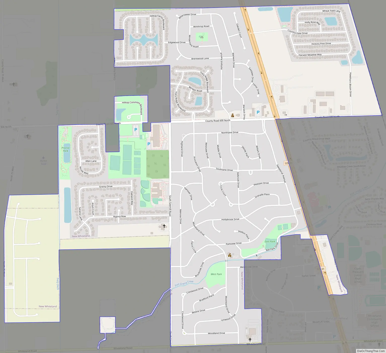
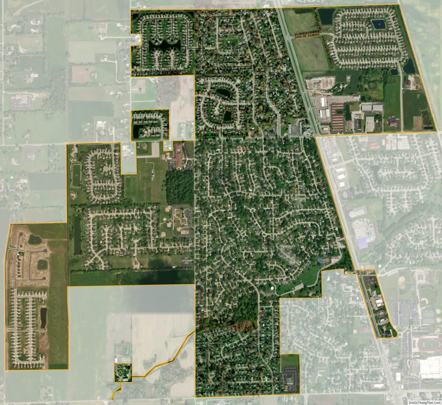
New Whiteland city Satellite Map
Geography
New Whiteland is located at 39°33′36″N 86°5′51″W / 39.56000°N 86.09750°W / 39.56000; -86.09750 (39.560104, -86.097387).
According to the 2010 census, New Whiteland has a total area of 1.46 square miles (3.78 km), all land.
See also
Map of Indiana State and its subdivision:- Adams
- Allen
- Bartholomew
- Benton
- Blackford
- Boone
- Brown
- Carroll
- Cass
- Clark
- Clay
- Clinton
- Crawford
- Daviess
- De Kalb
- Dearborn
- Decatur
- Delaware
- Dubois
- Elkhart
- Fayette
- Floyd
- Fountain
- Franklin
- Fulton
- Gibson
- Grant
- Greene
- Hamilton
- Hancock
- Harrison
- Hendricks
- Henry
- Howard
- Huntington
- Jackson
- Jasper
- Jay
- Jefferson
- Jennings
- Johnson
- Knox
- Kosciusko
- LaGrange
- Lake
- Lake Michigan
- LaPorte
- Lawrence
- Madison
- Marion
- Marshall
- Martin
- Miami
- Monroe
- Montgomery
- Morgan
- Newton
- Noble
- Ohio
- Orange
- Owen
- Parke
- Perry
- Pike
- Porter
- Posey
- Pulaski
- Putnam
- Randolph
- Ripley
- Rush
- Saint Joseph
- Scott
- Shelby
- Spencer
- Starke
- Steuben
- Sullivan
- Switzerland
- Tippecanoe
- Tipton
- Union
- Vanderburgh
- Vermillion
- Vigo
- Wabash
- Warren
- Warrick
- Washington
- Wayne
- Wells
- White
- Whitley
- Alabama
- Alaska
- Arizona
- Arkansas
- California
- Colorado
- Connecticut
- Delaware
- District of Columbia
- Florida
- Georgia
- Hawaii
- Idaho
- Illinois
- Indiana
- Iowa
- Kansas
- Kentucky
- Louisiana
- Maine
- Maryland
- Massachusetts
- Michigan
- Minnesota
- Mississippi
- Missouri
- Montana
- Nebraska
- Nevada
- New Hampshire
- New Jersey
- New Mexico
- New York
- North Carolina
- North Dakota
- Ohio
- Oklahoma
- Oregon
- Pennsylvania
- Rhode Island
- South Carolina
- South Dakota
- Tennessee
- Texas
- Utah
- Vermont
- Virginia
- Washington
- West Virginia
- Wisconsin
- Wyoming