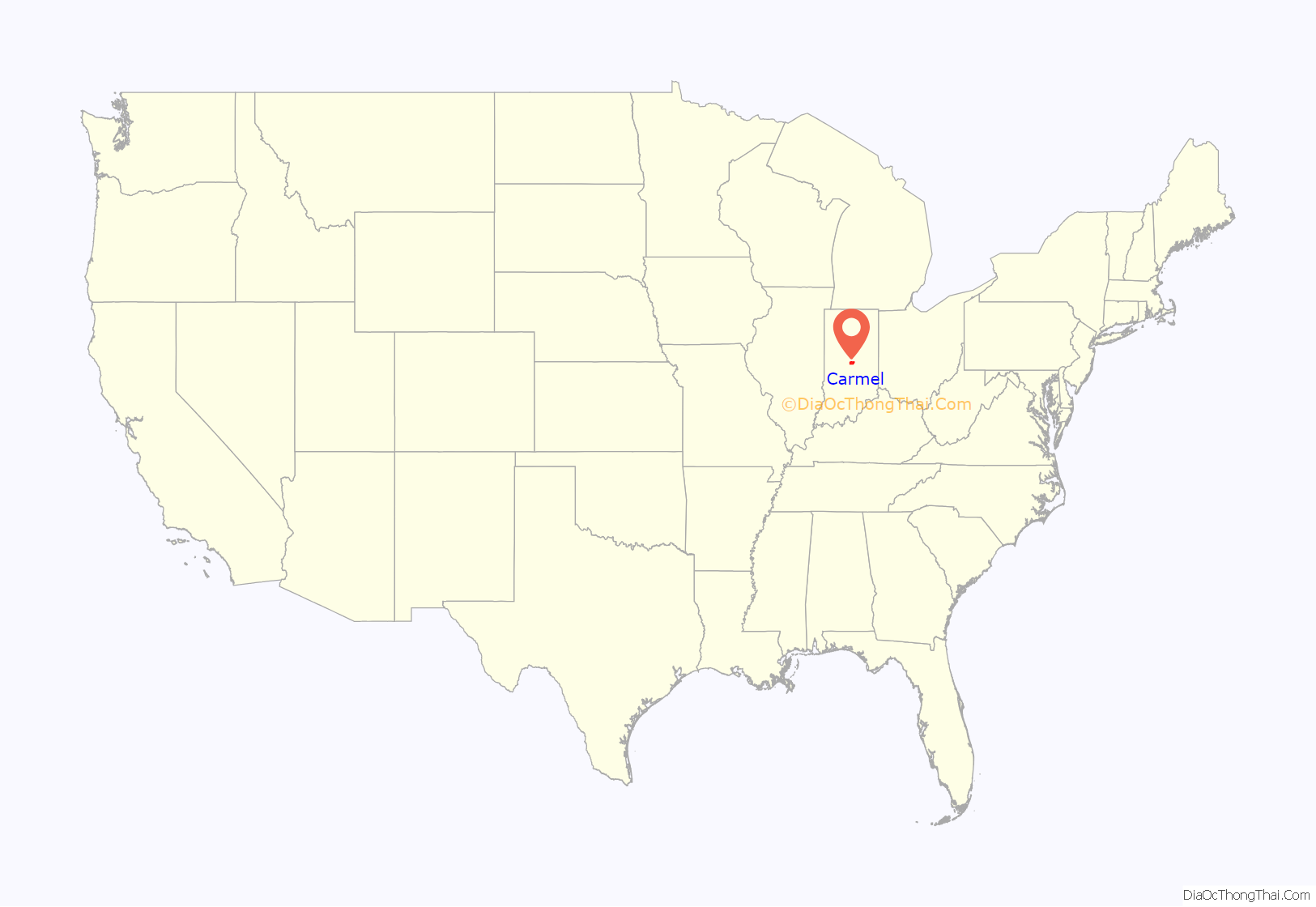
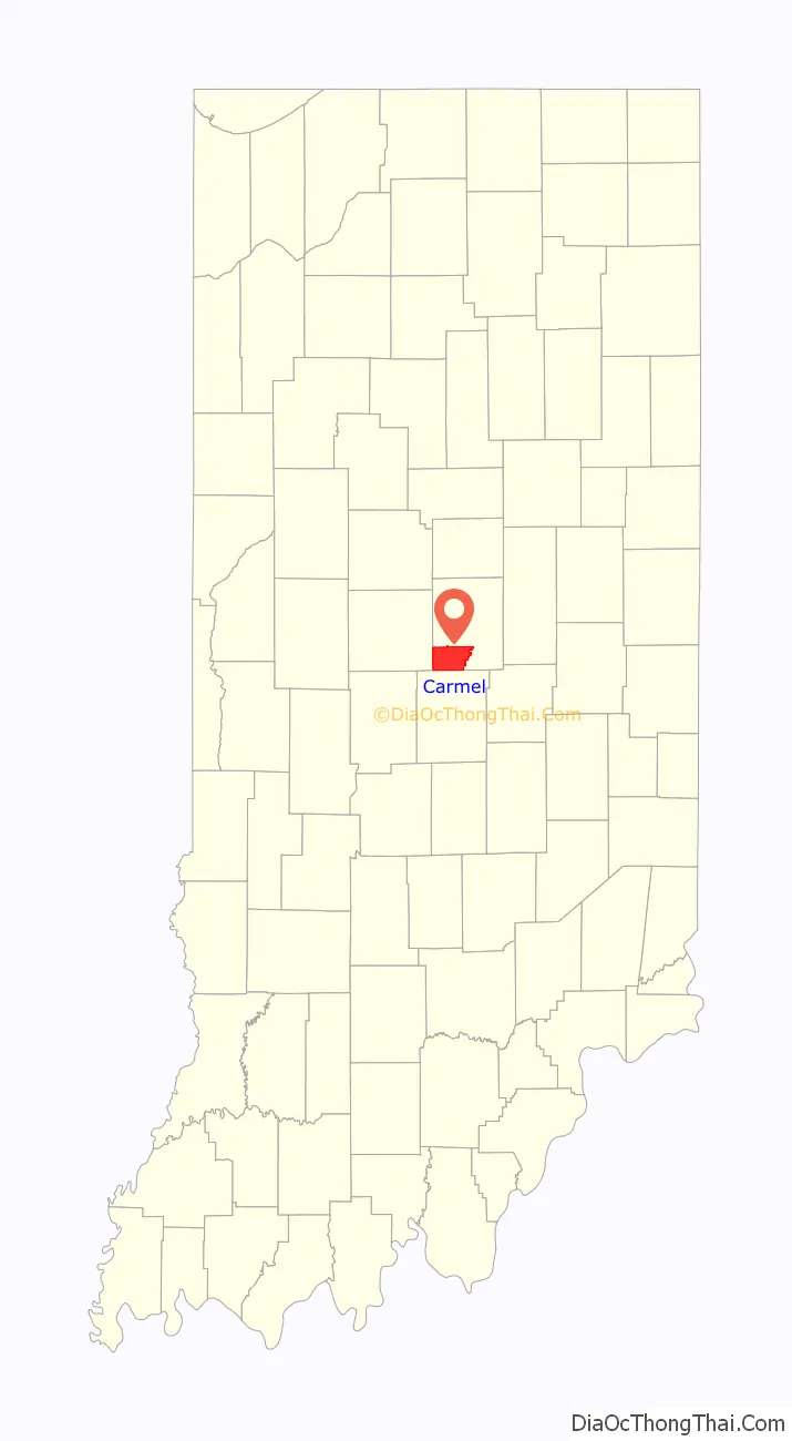
Carmel /ˈkɑːrməl/ is a suburban city in Indiana, United States, immediately north of Indianapolis. With a population of 100,777, the city spans 49 square miles (130 km) across Clay Township in Hamilton County, Indiana, and is bordered by the White River to the east; the Hamilton-Boone county line to the west; 96th Street to the south and 146th Street to the north. Although Carmel was home to one of the first electronic automated traffic signals in the state, the city has constructed 141 roundabouts between 1988 and 2022.
| Name: | Carmel city |
|---|---|
| LSAD Code: | 25 |
| LSAD Description: | city (suffix) |
| State: | Indiana |
| County: | Hamilton County |
| Elevation: | 853 ft (260 m) |
| Total Area: | 50.17 sq mi (129.94 km²) |
| Land Area: | 49.09 sq mi (127.13 km²) |
| Water Area: | 1.08 sq mi (2.80 km²) |
| Population Density: | 2,032.3/sq mi (784.7/km²) |
| ZIP code: | 46032, 46033, 46074, 46082, 46280, 46290 |
| Area code: | 317, 463 |
| FIPS code: | 1810342 |
| GNISfeature ID: | 0432143 |
| Website: | www.carmel.in.gov |
Online Interactive Map
Click on ![]() to view map in "full screen" mode.
to view map in "full screen" mode.
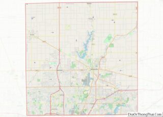
Carmel location map. Where is Carmel city?
History
Carmel was originally called “Bethlehem”. It was platted and recorded in 1837 by Daniel Warren, Alexander Mills, John Phelps, and Seth Green. The original settlers were predominantly Quakers. Today, the plot first established in Bethlehem, located at the intersection of Rangeline Road and Main Street, is marked by a clock tower, donated by the local Rotary Club in 2002. A post office was established as “Carmel” in 1846 because Indiana already had a post office called Bethlehem. The town of Bethlehem was renamed “Carmel” in 1874, due to the need of a post office, at which time it was incorporated.
In 1924, one of the first automatic traffic signals in the U.S. was installed at the intersection of Main Street and Rangeline Road. The signal was the invention of Leslie Haines and is currently in the old train station on the Monon Trail.
The Carmel Monon Depot, John Kinzer House, and Thornhurst Addition are listed on the National Register of Historic Places.
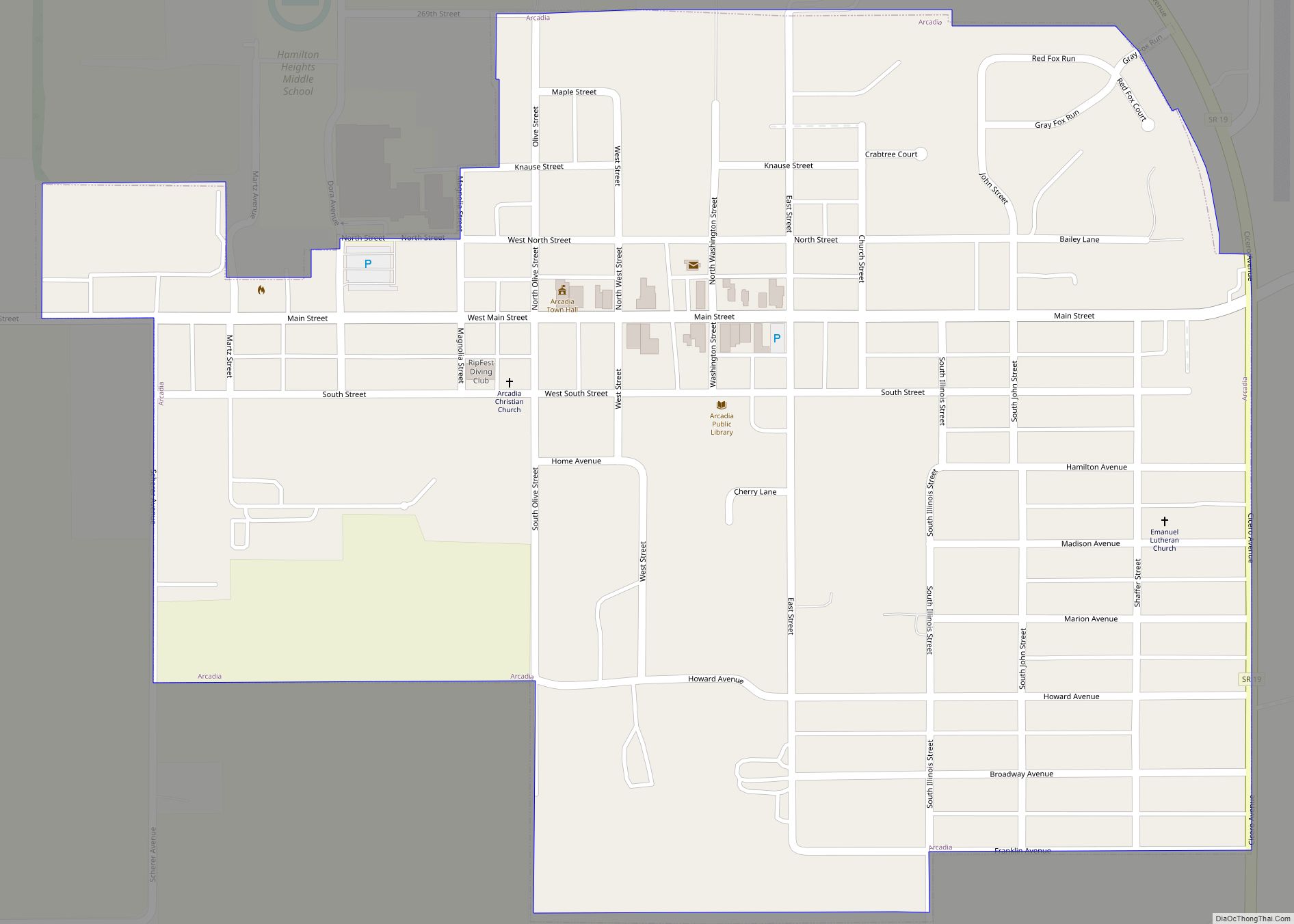
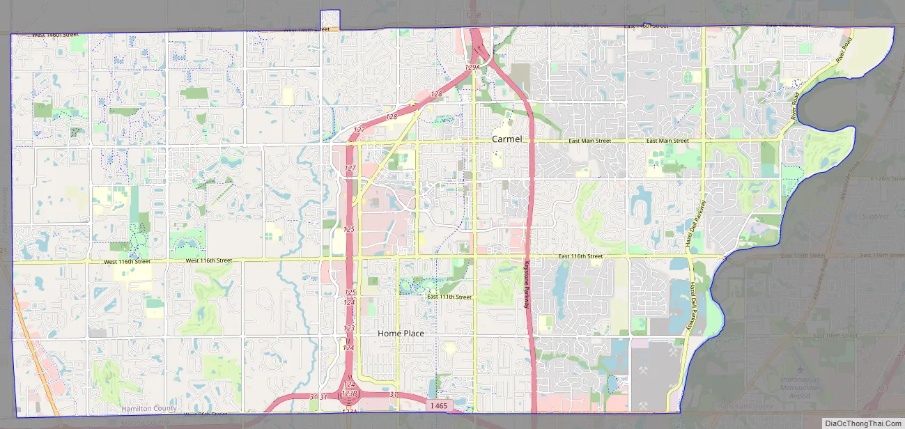
Carmel Road Map
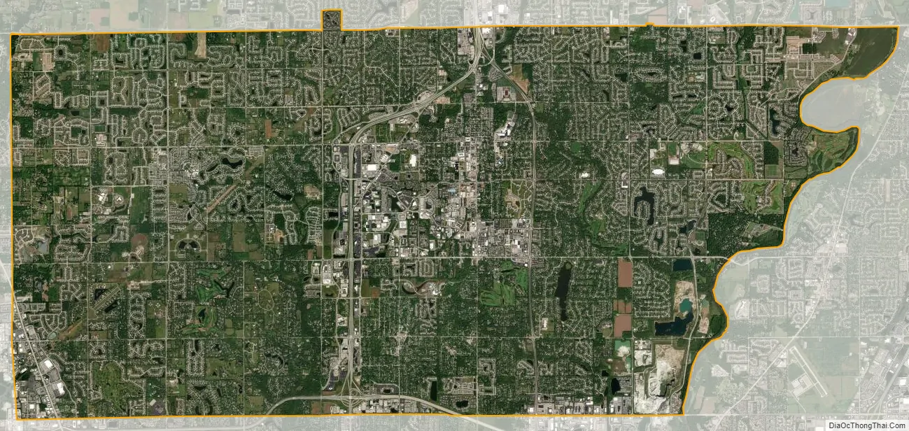
Carmel city Satellite Map
Geography
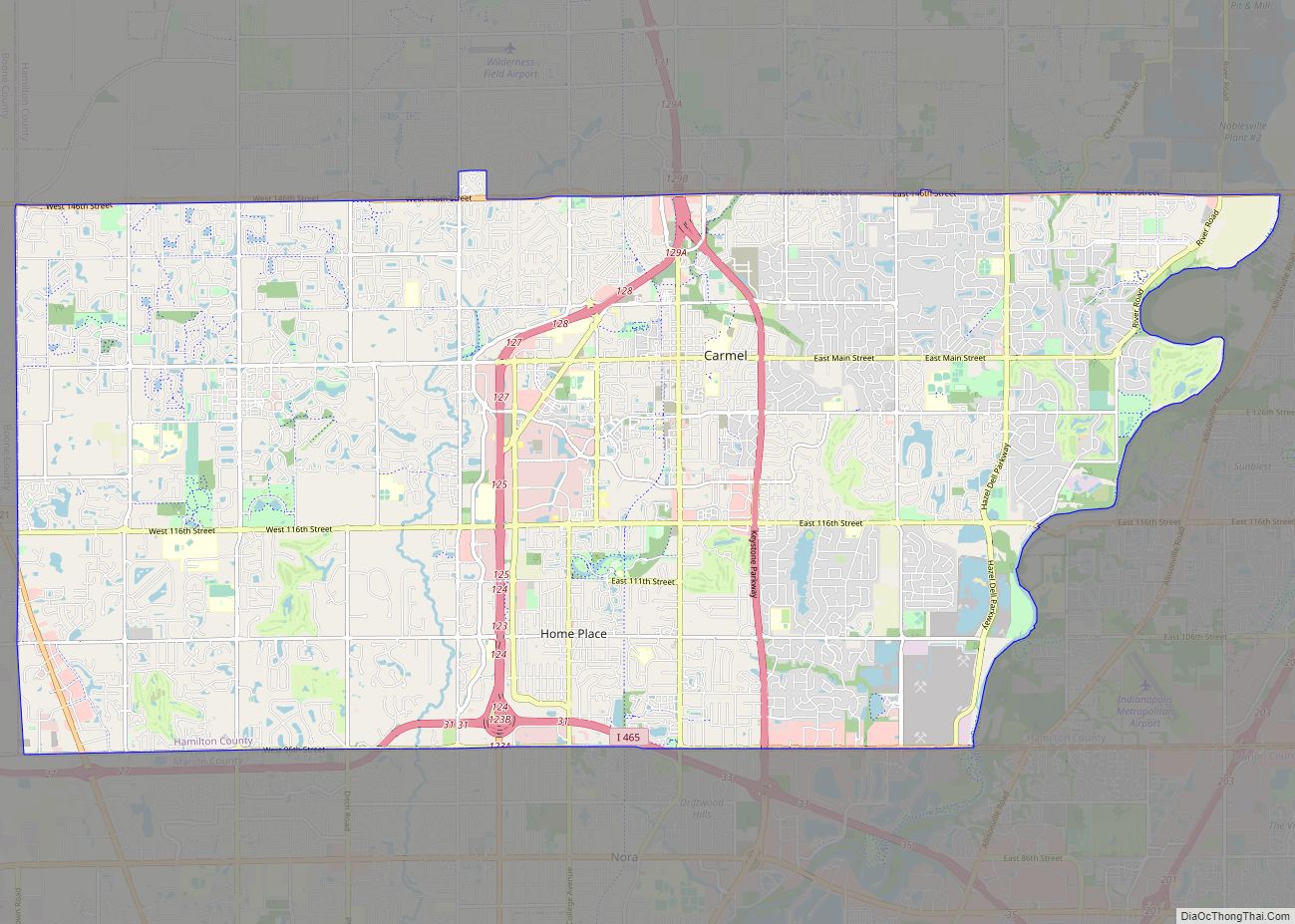
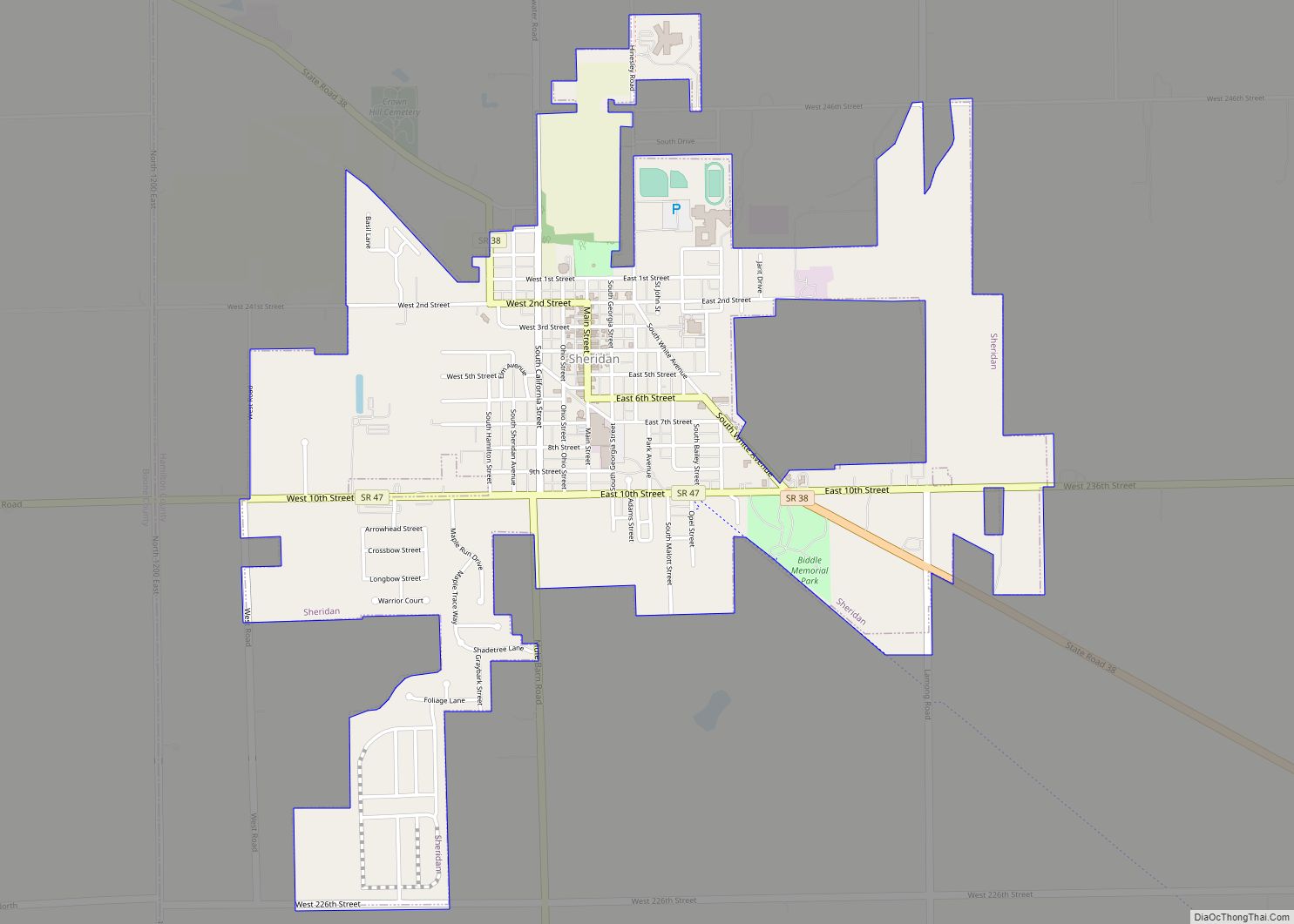
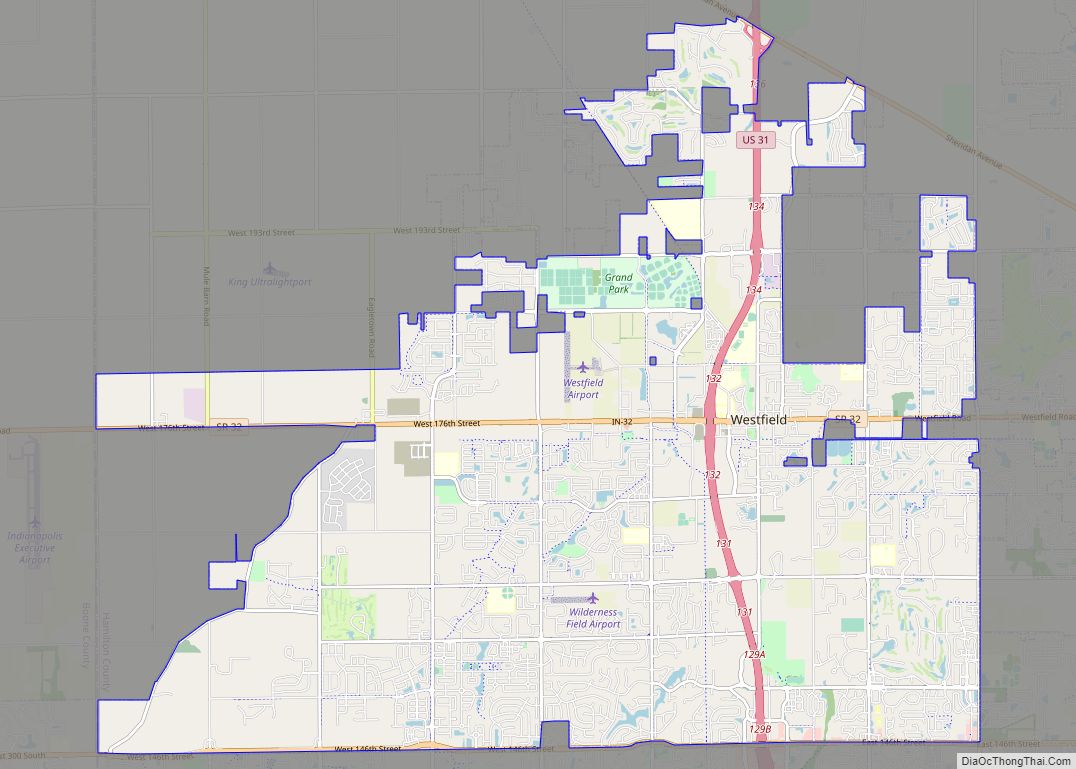
Carmel occupies the southwestern part of Hamilton County, adjacent to Indianapolis and, with the annexation of Home Place in 2018, is now entirely coextensive with Clay Township. It is bordered to the north by Westfield, to the northeast by Noblesville, to the east by Fishers, to the south by Indianapolis in Marion County, and to the west by Zionsville in Boone County. The center of Carmel is 15 miles (24 km) north of the center of Indianapolis.
According to the 2010 census, Carmel has a total area of 48.545 square miles (125.73 km), of which 47.46 square miles (122.92 km) (or 97.76%) is land and 1.085 square miles (2.81 km) (or 2.24%) is water.
Major east–west streets in Carmel generally end in a 6 and include 96th Street (the southern border), 106th, 116th, 126th, 131st, 136th, and 146th (which marks the northern border). The numbering system is aligned to that of Marion and Hamilton counties. Main Street (131st) runs east–west through Carmel’s Art & Design District; Carmel Drive runs generally east–west through the main shopping area, and City Center Drive runs east–west near Carmel’s City Center project.
North–south streets are not numbered and include (west to east) Michigan, Shelborne, Towne, Ditch, Spring Mill, Meridian, Guilford, Rangeline, Keystone, Carey, Gray, Hazel Dell, and River. Some of these roads are continuations of corresponding streets in Indianapolis. Towne Road replaces the name Township Line Road at 96th Street, while Westfield Boulevard becomes Rangeline north of 116th Street. Meridian Street (US 31) and Keystone Parkway (formerly Keystone Avenue/SR 431) are the major thoroughfares, extending from 96th Street in the south and merging just south of 146th Street. The City of Carmel is nationally noted for having well over 100 roundabouts within its borders, with even more presently under construction or planned.
See also
Map of Indiana State and its subdivision:- Adams
- Allen
- Bartholomew
- Benton
- Blackford
- Boone
- Brown
- Carroll
- Cass
- Clark
- Clay
- Clinton
- Crawford
- Daviess
- De Kalb
- Dearborn
- Decatur
- Delaware
- Dubois
- Elkhart
- Fayette
- Floyd
- Fountain
- Franklin
- Fulton
- Gibson
- Grant
- Greene
- Hamilton
- Hancock
- Harrison
- Hendricks
- Henry
- Howard
- Huntington
- Jackson
- Jasper
- Jay
- Jefferson
- Jennings
- Johnson
- Knox
- Kosciusko
- LaGrange
- Lake
- Lake Michigan
- LaPorte
- Lawrence
- Madison
- Marion
- Marshall
- Martin
- Miami
- Monroe
- Montgomery
- Morgan
- Newton
- Noble
- Ohio
- Orange
- Owen
- Parke
- Perry
- Pike
- Porter
- Posey
- Pulaski
- Putnam
- Randolph
- Ripley
- Rush
- Saint Joseph
- Scott
- Shelby
- Spencer
- Starke
- Steuben
- Sullivan
- Switzerland
- Tippecanoe
- Tipton
- Union
- Vanderburgh
- Vermillion
- Vigo
- Wabash
- Warren
- Warrick
- Washington
- Wayne
- Wells
- White
- Whitley
- Alabama
- Alaska
- Arizona
- Arkansas
- California
- Colorado
- Connecticut
- Delaware
- District of Columbia
- Florida
- Georgia
- Hawaii
- Idaho
- Illinois
- Indiana
- Iowa
- Kansas
- Kentucky
- Louisiana
- Maine
- Maryland
- Massachusetts
- Michigan
- Minnesota
- Mississippi
- Missouri
- Montana
- Nebraska
- Nevada
- New Hampshire
- New Jersey
- New Mexico
- New York
- North Carolina
- North Dakota
- Ohio
- Oklahoma
- Oregon
- Pennsylvania
- Rhode Island
- South Carolina
- South Dakota
- Tennessee
- Texas
- Utah
- Vermont
- Virginia
- Washington
- West Virginia
- Wisconsin
- Wyoming