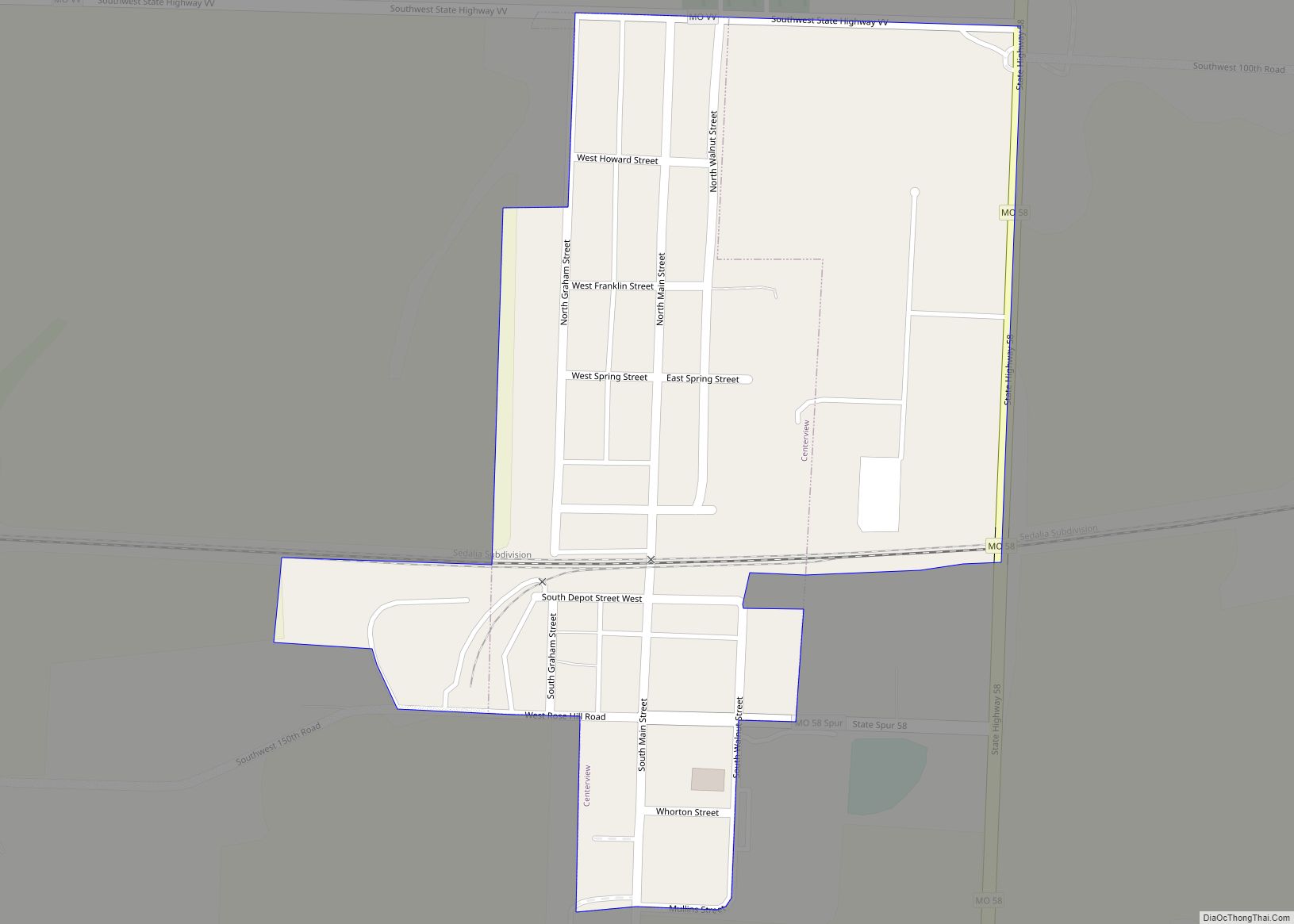
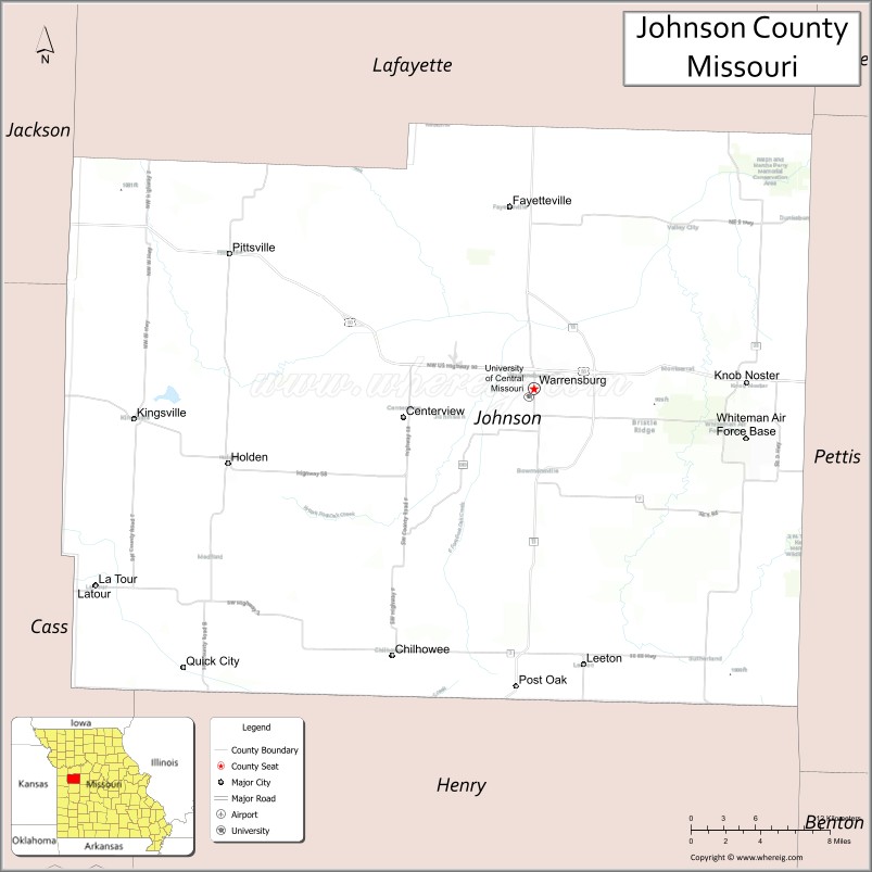
Johnson County is a county located in western portion of the U.S. state of Missouri. As of the 2010 census, the population was 52,595 with a 2018 estimate of 53,652. Its county seat is Warrensburg. The county was formed December 13, 1834 from Lafayette County and named for Vice President Richard Mentor Johnson.
Johnson County comprises the Warrensburg Micropolitan Statistical Area, which is also included in the Kansas City–Overland Park–Kansas City, MO–KS Combined Statistical Area.
| Name: | Johnson County |
|---|---|
| FIPS code: | 29-101 |
| State: | Missouri |
| Founded: | December 13, 1834 |
| Named for: | Richard Mentor Johnson |
| Seat: | Warrensburg |
| Largest city: | Warrensburg |
| Total Area: | 833 sq mi (2,160 km²) |
| Land Area: | 829 sq mi (2,150 km²) |
| Total Population: | 52,595 |
| Population Density: | 63/sq mi (24/km²) |
| Time zone: | UTC−6 (Central) |
| Summer Time Zone (DST): | UTC−5 (CDT) |
| Website: | www.jococourthouse.com |
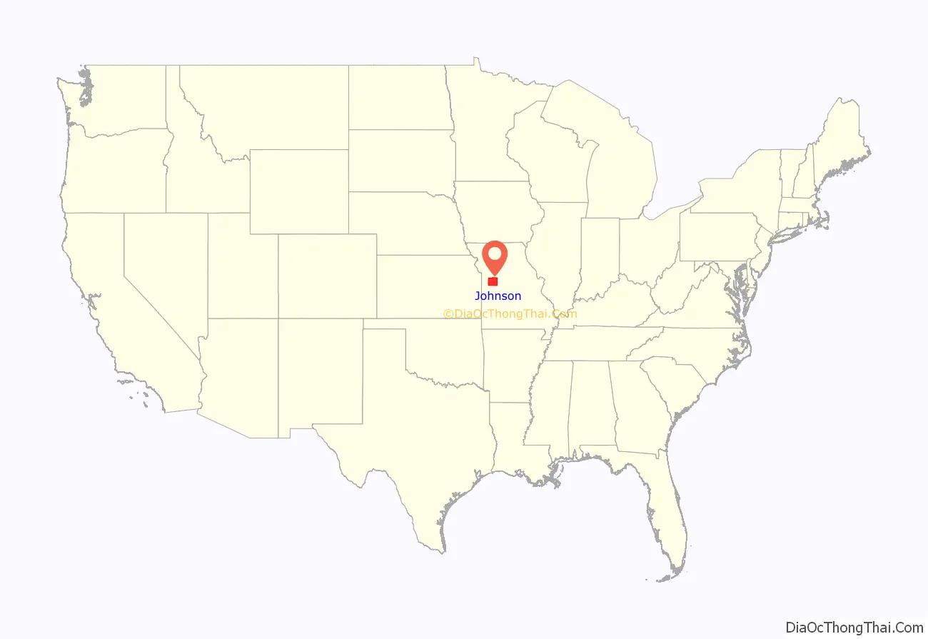
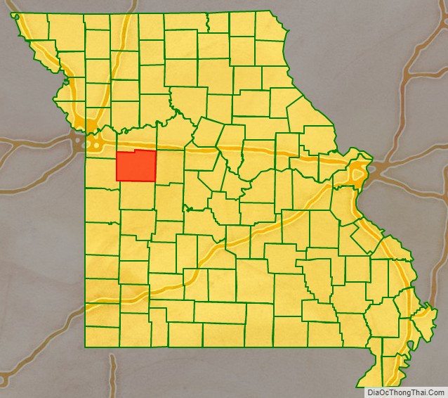
Johnson County location map. Where is Johnson County?
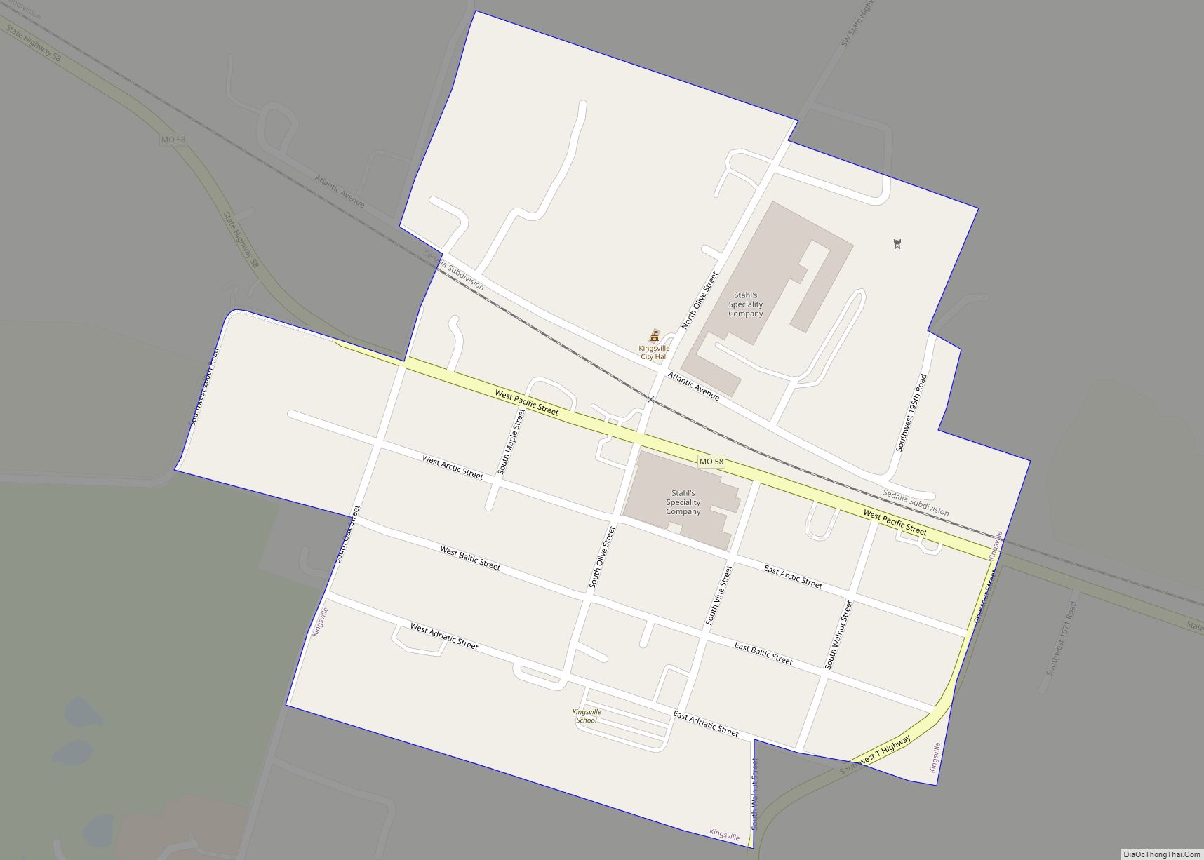
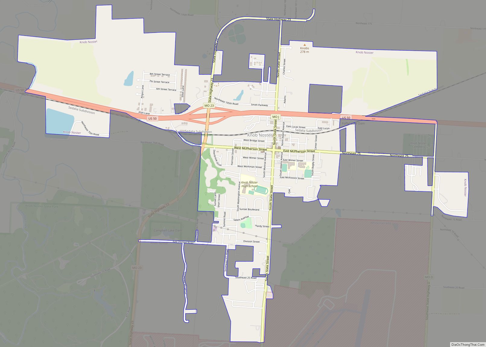
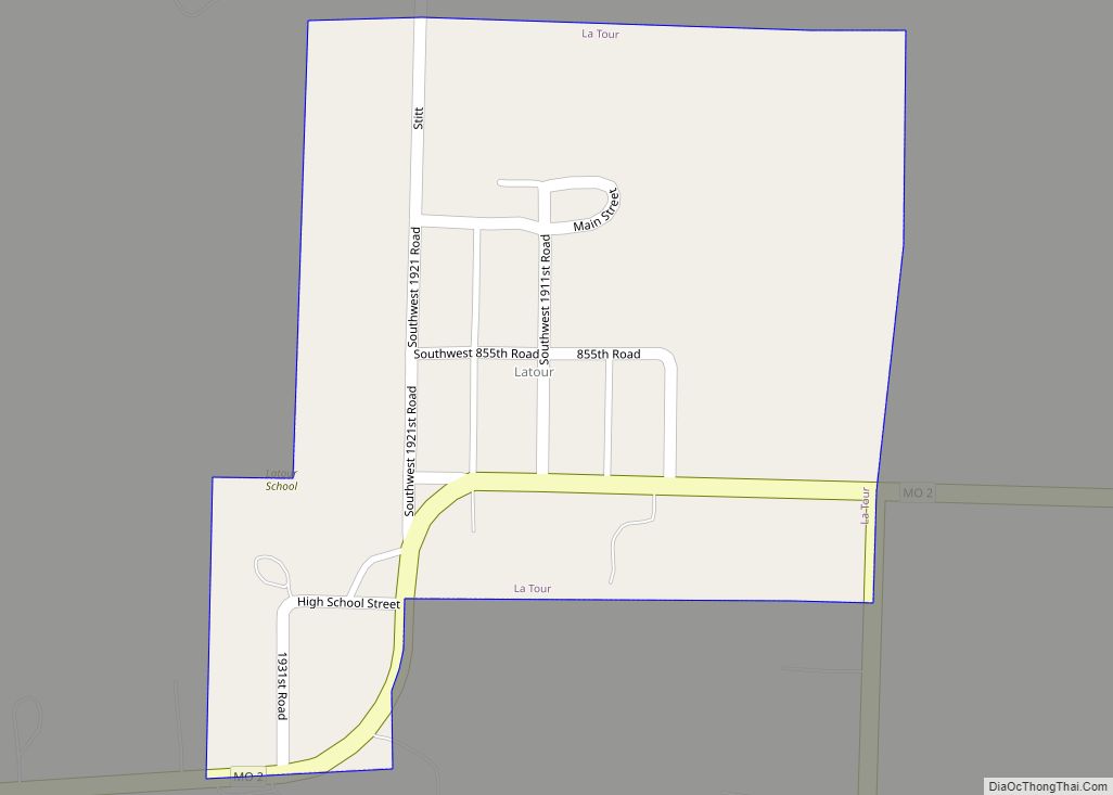
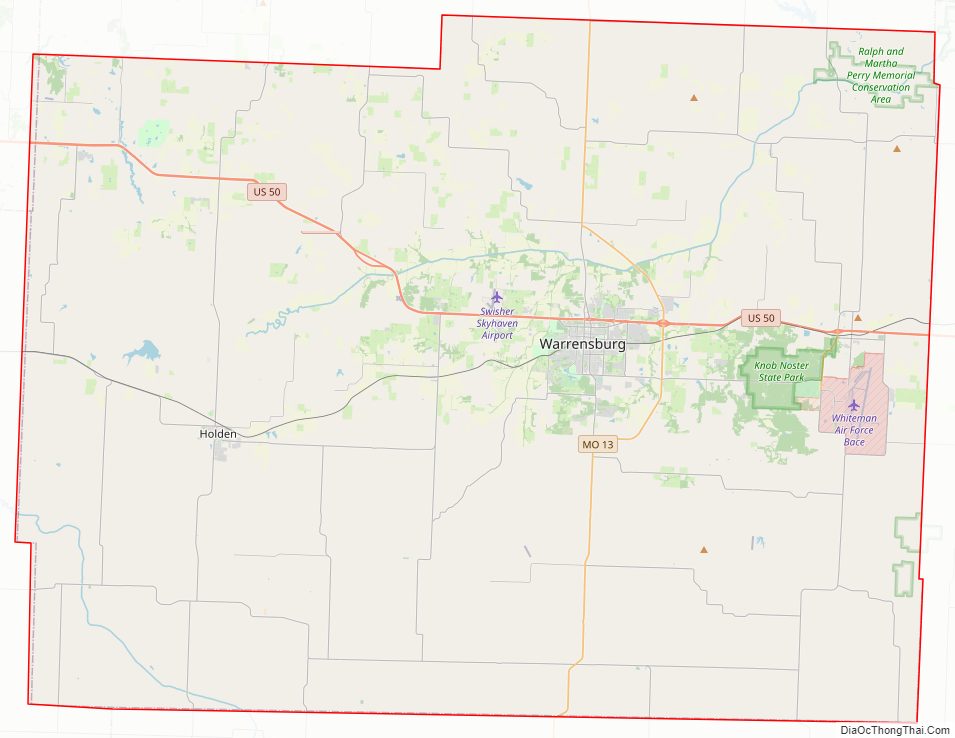
Johnson County Road Map
Geography
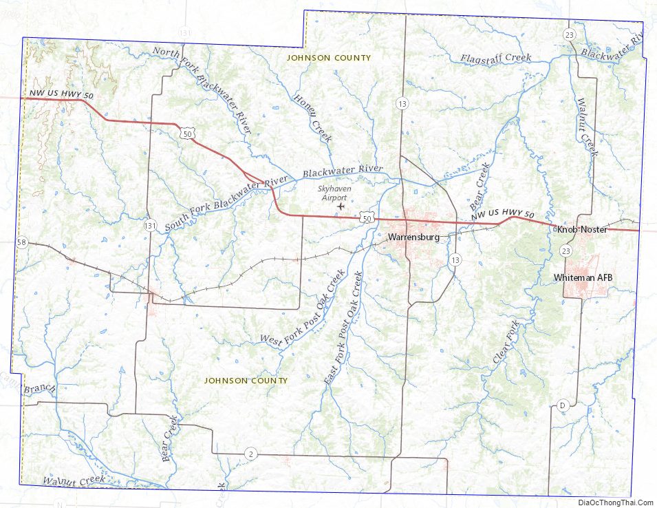
According to the U.S. Census Bureau, the county has a total area of 833 square miles (2,160 km), of which 829 square miles (2,150 km) is land and 3.9 square miles (10 km) (0.5%) is water.
Adjacent counties
- Lafayette County (north)
- Pettis County (east)
- Henry County (south)
- Cass County (west)
- Jackson County (northwest)
Major highways
- U.S. Route 50
- Route 2
- Route 13
- Route 23
- Route 58
- Route 131
Johnson County Topographic Map
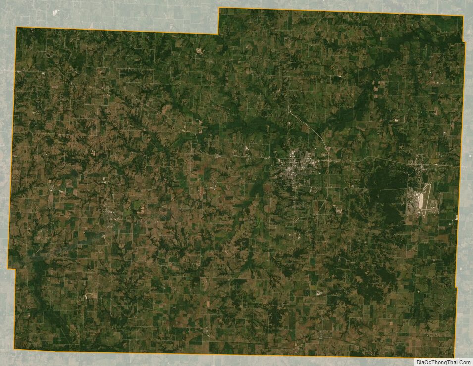
Johnson County Satellite Map
Johnson County Outline Map