Warrensburg is a city in and the county seat of Johnson County, Missouri, United States. The population was 20,313 at the 2020 census. The Warrensburg Micropolitan Statistical Area consists of Johnson County. The city is a college town as it is home to the University of Central Missouri.
| Name: | Warrensburg city |
|---|---|
| LSAD Code: | 25 |
| LSAD Description: | city (suffix) |
| State: | Missouri |
| County: | Johnson County |
| Founded: | 1835 |
| Incorporated: | 1837 |
| Elevation: | 863 ft (263 m) |
| Total Area: | 9.47 sq mi (24.53 km²) |
| Land Area: | 9.41 sq mi (24.36 km²) |
| Water Area: | 0.07 sq mi (0.17 km²) |
| Total Population: | 20,313 |
| Population Density: | 2,055.60/sq mi (793.69/km²) |
| ZIP code: | 64093 |
| Area code: | 660 |
| FIPS code: | 2977092 |
| GNISfeature ID: | 0728362 |
| Website: | www.warrensburg-mo.com |
Online Interactive Map
Click on ![]() to view map in "full screen" mode.
to view map in "full screen" mode.
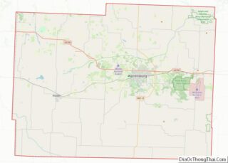
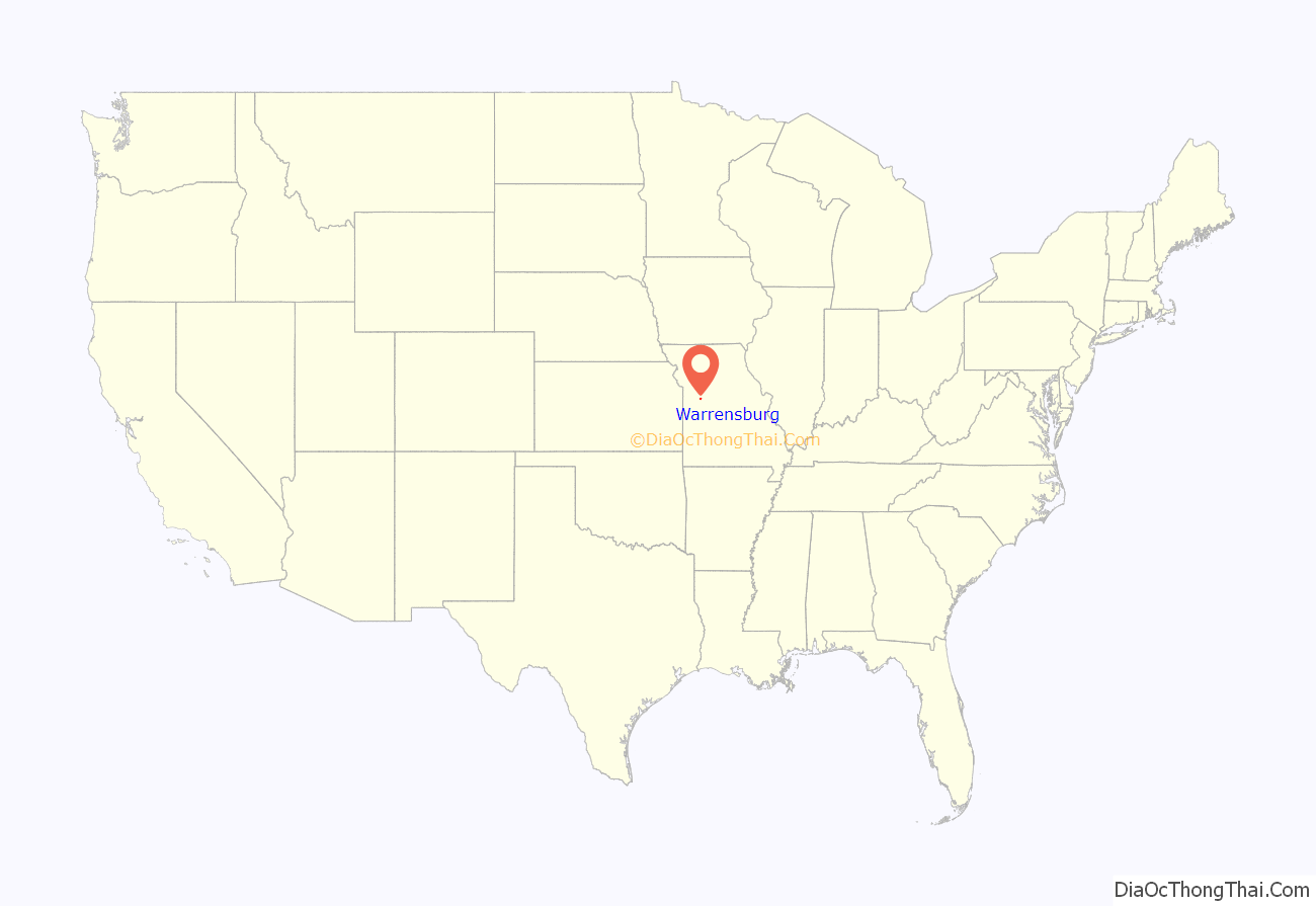
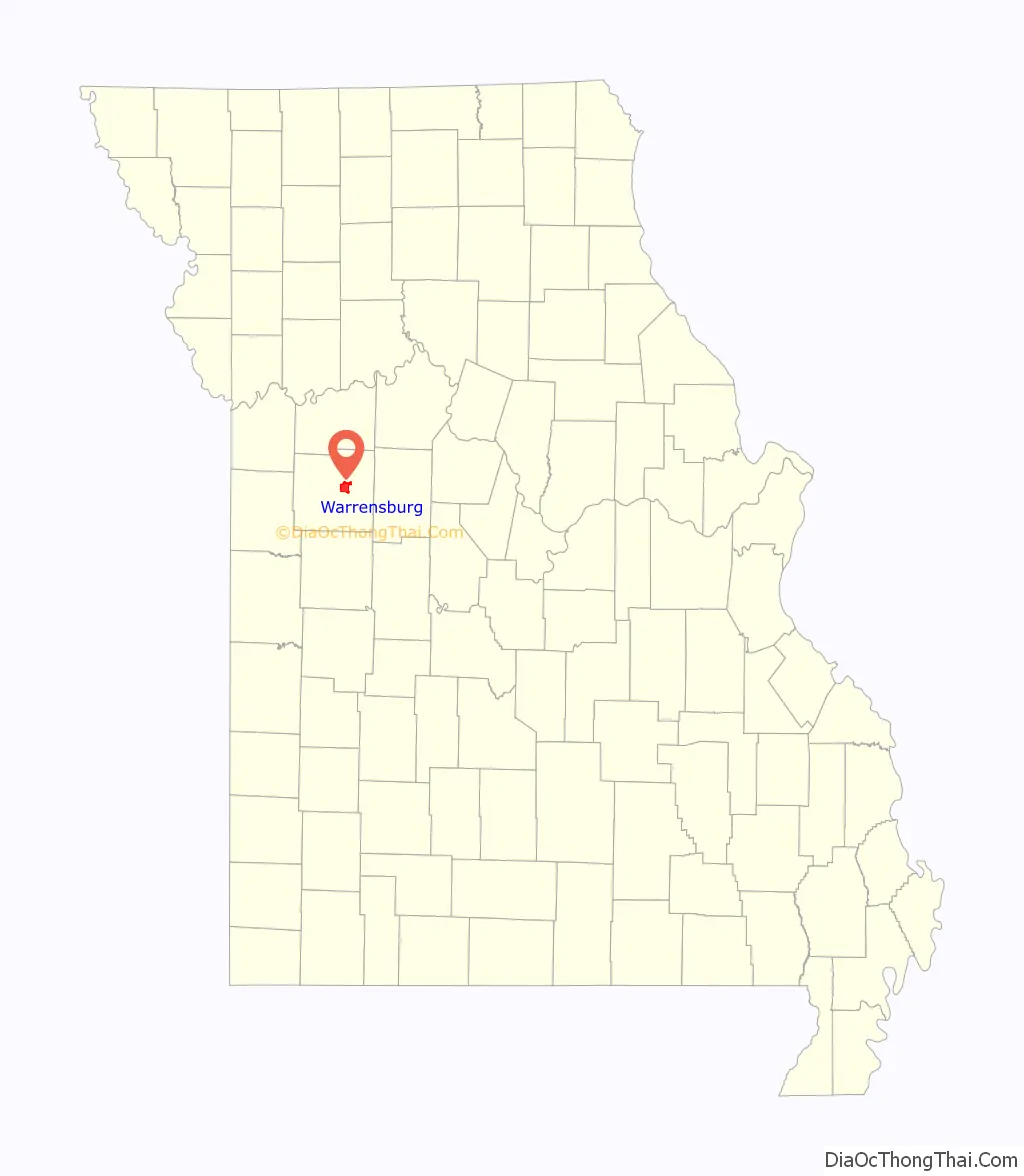
Warrensburg location map. Where is Warrensburg city?
History
Warrensburg was founded in 1835 by European-American settlers John and Martin D. Warren, who gave the town their last name. A post office called Warrensburg has been in operation since 1837.
The phrase “Man’s best friend” is based on a famous trial over the killing of Old Drum, a dog who was shot in Warrensburg. In 1958, a statue of Old Drum was erected on the Johnson County Courthouse lawn containing a summation of US Senator George G. Vest’s closing speech, “A man’s best friend is his dog.”
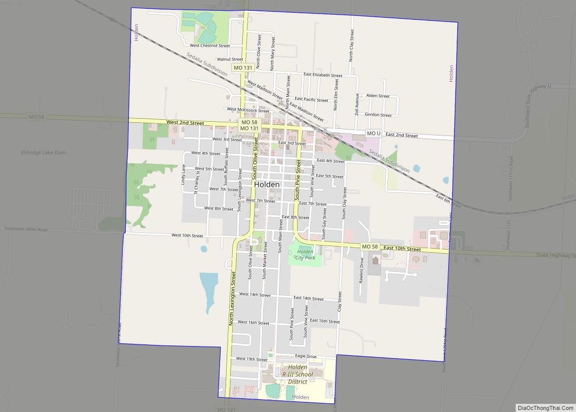
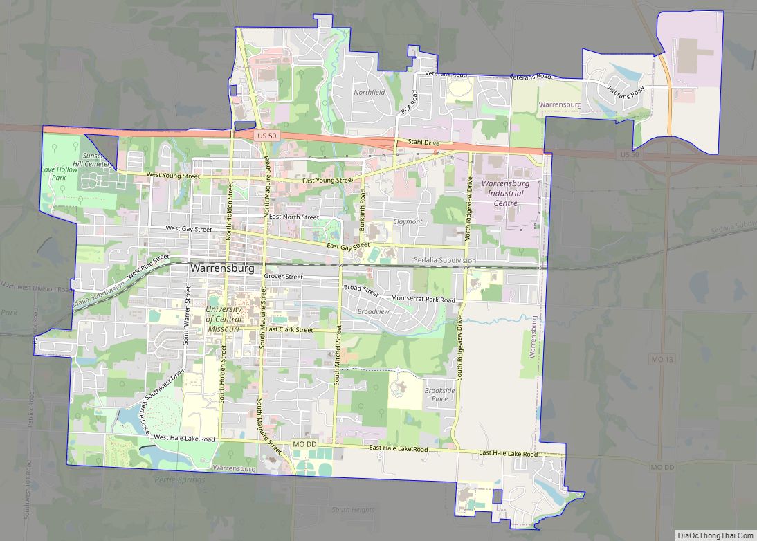
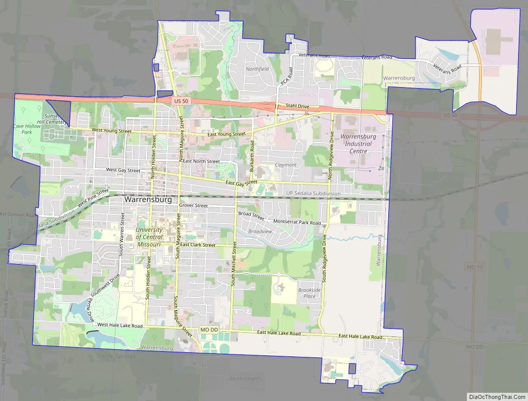
Warrensburg Road Map
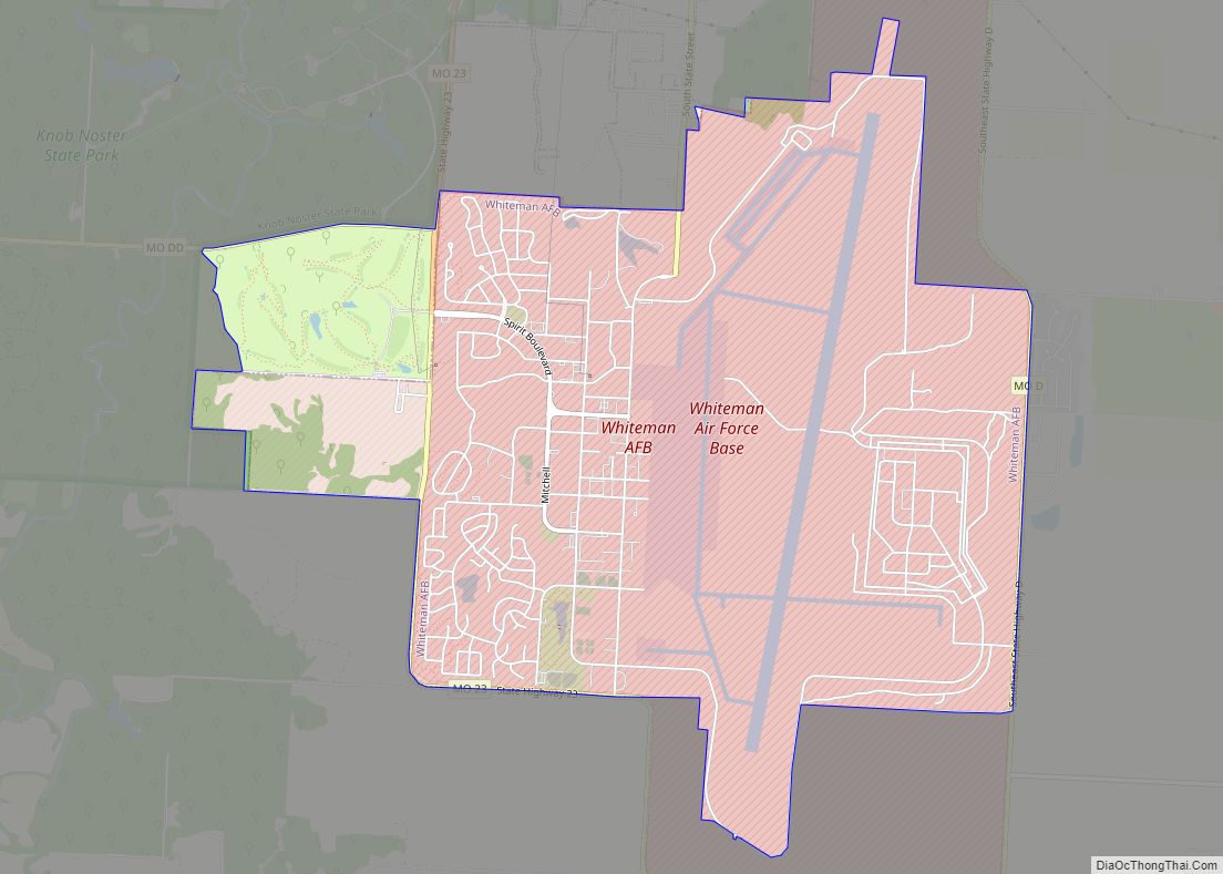
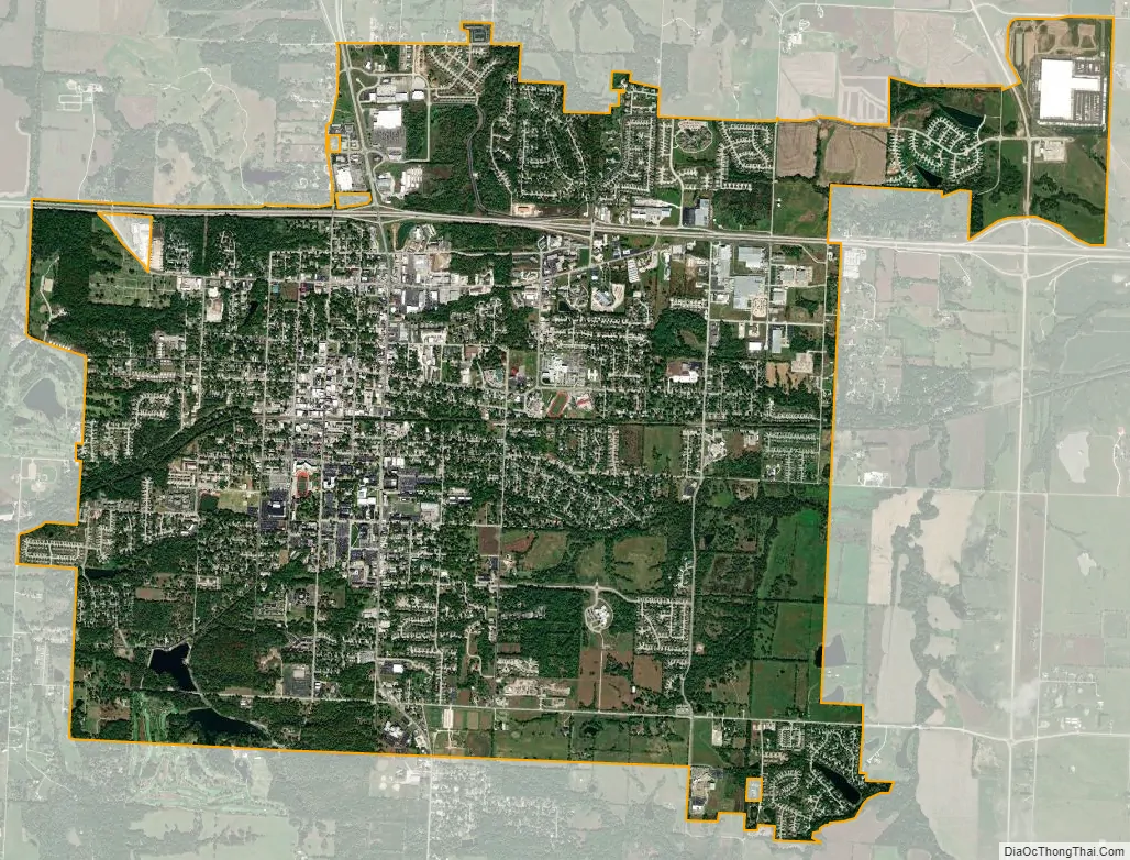
Warrensburg city Satellite Map
Geography
Warrensburg is located at 38°45′47″N 93°44′06″W / 38.763101°N 93.734956°W / 38.763101; -93.734956. According to the United States Census Bureau, the city has a total area of 8.92 square miles (23.10 km), of which, 8.85 square miles (22.92 km) is land and 0.07 square miles (0.18 km) is water.
Climate
See also
Map of Missouri State and its subdivision:- Adair
- Andrew
- Atchison
- Audrain
- Barry
- Barton
- Bates
- Benton
- Bollinger
- Boone
- Buchanan
- Butler
- Caldwell
- Callaway
- Camden
- Cape Girardeau
- Carroll
- Carter
- Cass
- Cedar
- Chariton
- Christian
- Clark
- Clay
- Clinton
- Cole
- Cooper
- Crawford
- Dade
- Dallas
- Daviess
- De Kalb
- Dent
- Douglas
- Dunklin
- Franklin
- Gasconade
- Gentry
- Greene
- Grundy
- Harrison
- Henry
- Hickory
- Holt
- Howard
- Howell
- Iron
- Jackson
- Jasper
- Jefferson
- Johnson
- Knox
- Laclede
- Lafayette
- Lawrence
- Lewis
- Lincoln
- Linn
- Livingston
- Macon
- Madison
- Maries
- Marion
- McDonald
- Mercer
- Miller
- Mississippi
- Moniteau
- Monroe
- Montgomery
- Morgan
- New Madrid
- Newton
- Nodaway
- Oregon
- Osage
- Ozark
- Pemiscot
- Perry
- Pettis
- Phelps
- Pike
- Platte
- Polk
- Pulaski
- Putnam
- Ralls
- Randolph
- Ray
- Reynolds
- Ripley
- Saint Charles
- Saint Clair
- Saint Francois
- Saint Louis
- Sainte Genevieve
- Saline
- Schuyler
- Scotland
- Scott
- Shannon
- Shelby
- Stoddard
- Stone
- Sullivan
- Taney
- Texas
- Vernon
- Warren
- Washington
- Wayne
- Webster
- Worth
- Wright
- Alabama
- Alaska
- Arizona
- Arkansas
- California
- Colorado
- Connecticut
- Delaware
- District of Columbia
- Florida
- Georgia
- Hawaii
- Idaho
- Illinois
- Indiana
- Iowa
- Kansas
- Kentucky
- Louisiana
- Maine
- Maryland
- Massachusetts
- Michigan
- Minnesota
- Mississippi
- Missouri
- Montana
- Nebraska
- Nevada
- New Hampshire
- New Jersey
- New Mexico
- New York
- North Carolina
- North Dakota
- Ohio
- Oklahoma
- Oregon
- Pennsylvania
- Rhode Island
- South Carolina
- South Dakota
- Tennessee
- Texas
- Utah
- Vermont
- Virginia
- Washington
- West Virginia
- Wisconsin
- Wyoming