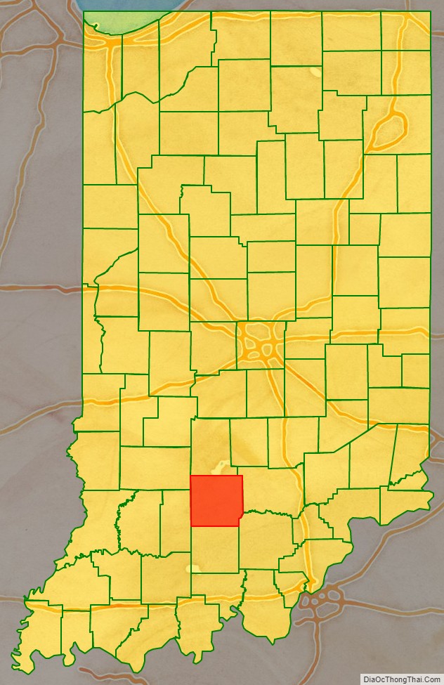
Lawrence County is a county located in the U.S. state of Indiana. As of 2010, the population was 46,134. The county seat is Bedford. Lawrence County comprises the Bedford, IN Micropolitan Statistical Area.
| Name: | Lawrence County |
|---|---|
| FIPS code: | 18-093 |
| State: | Indiana |
| Founded: | 1818 |
| Named for: | James Lawrence |
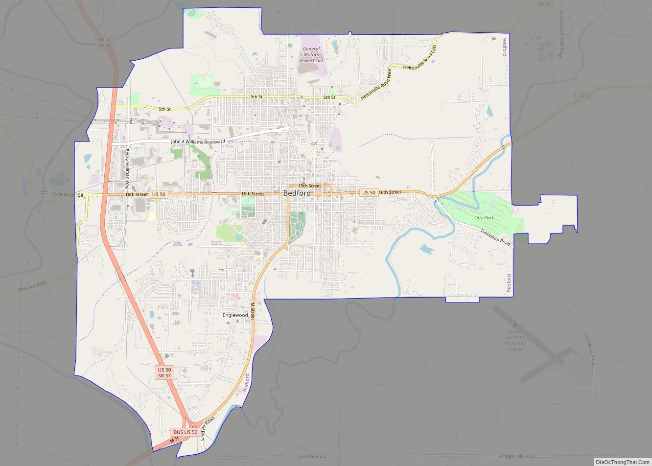
| Largest city: | Bedford (population and area) |
| Total Area: | 451.93 sq mi (1,170.5 km²) |
| Land Area: | 449.17 sq mi (1,163.3 km²) |
| Total Population: | 46,134 |
| Population Density: | 103/sq mi (40/km²) |
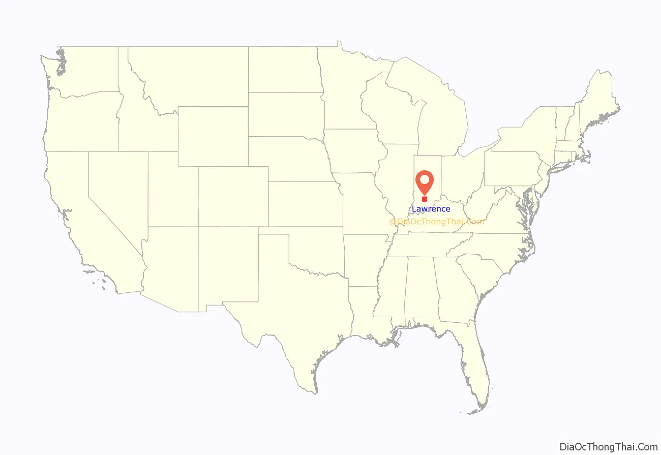
Lawrence County location map. Where is Lawrence County?
History
Until the Battle of Tippecanoe, the general area of Lawrence County was populated primarily by Native Americans. The first trace of white settlement in Lawrence County was near Leesville; however, Bono was the first white settlement in the county. Lawrence County was formed in 1818 by subdividing Orange County. The English name refers to Captain James Lawrence, who uttered the famous words “Don’t give up the ship.” after being mortally wounded during the War of 1812. Prior to Lawrence County’s creation, it was organized as “Leatherwood Township.” On March 11, 1818, the county commissioners Ambrose Carlton, Thomas Beagley, and James Stotts, met at the home of James Gregory. On the third day of this session, the commissioners proceeded to divide the county into two civil townships: Shawswick and Spice Valley. Early in 1819, the board adopted a seal for Lawrence County, which was designed with a harp, a plow, three sheaves of weat, a pair of scales, and a weathercock on top. The first county seat of Lawrence County was located at Palestine, situated on a high bluff near the East Fork of the White River. 276 lots were laid out in Palestine, which were advertised for sale on May 25, 1818. Steps were immediately taken to build a courthouse and a jail. The first courthouse of the county was log and erected in the spring of 1818. This courthouse was temporary, and steps to construct a permanent courthouse began in November 1818. It was first designed in octagonal form, with brick walls, a stone foundation, with 45 windows and to be two stories tall. The courthouse was finished in the autumn of 1821, at a total cost of $5,500 (1821 USD). After much disease, and a tornado that swept through the area in 1820, the county approved the relocation of the county seat on February 9, 1825. The name “Bedford” was selected for the new county seat by Joseph Rawlins, a local businessman, after Bedford County, Virginia. The town was laid out on March 30, 1825, and current residents of Palestine were offered a lot in Bedford. The county records were hauled from Palestine to Bedford by Richard Evans. In early 1825, a temporary log courthouse was erected at Bedford. In 1831, the board of commissioners took up the matter of building a more suitable courthouse and advertised bids for a courthouse similar to the one at Salem in May, and there obtained complete plans of that structure. The old buildings at Palestine were sold, and the proceeds were to be used in the construction of the new building. The building was finished in May 1834. A fourth courthouse was built in 1872. The fifth and current courthouse was built in 1930. Perry Township was created in May 1822, and Indian Creek Township was extended south to the river. Around the same time, Flinn Township was created. On January 23, 1826, Marion Township was created, followed by Marshall Township in June 1855. In March 1866, 180 residents petitioned for a new township, called “Morton”, to be formed out of Shawswick, Bono, and Flinn, but after much thought was named Guthrie Township after an old pioneer family of the county. On January 1, 1911, Flinn Township was annexed by Shawswick, Guthrie, and Pleasant Run Townships, after the county commissioners meeting a month prior.
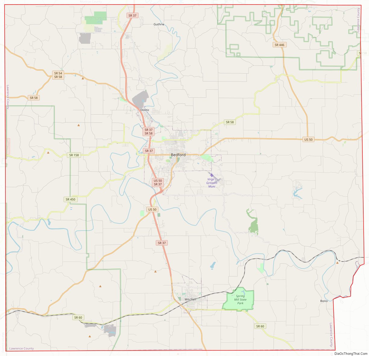
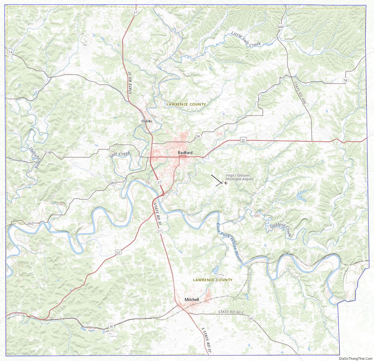
Lawrence County Road Map
Geography
According to the 2010 census, the county has a total area of 451.93 square miles (1,170.5 km), of which 449.17 square miles (1,163.3 km) (or 99.39%) is land and 2.76 square miles (7.1 km) (or 0.61%) is water.
Adjacent counties
- Monroe County (north)
- Jackson County (east)
- Washington County (southeast)
- Orange County (south)
- Martin County (west)
- Greene County (northwest)
Major highways
- U.S. Route 50
- State Road 37
- State Road 54
- State Road 58
- State Road 60
- State Road 158
- State Road 446
- State Road 450
- State Road 458
National protected area
- Hoosier National Forest (part)
Lawrence County Topographic Map
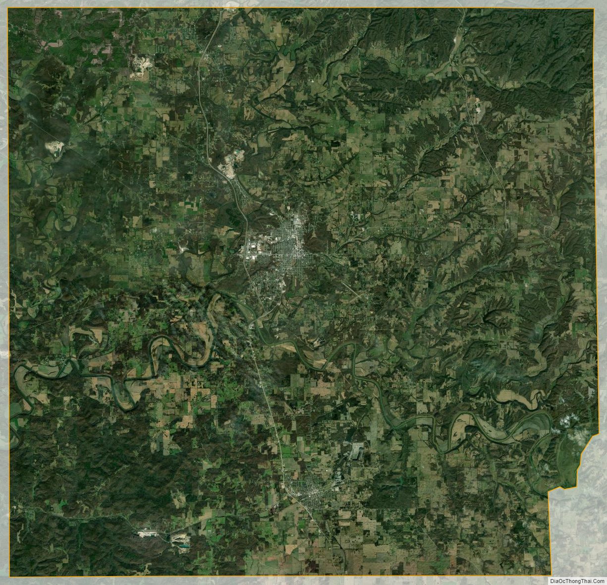
Lawrence County Satellite Map
Lawrence County Outline Map