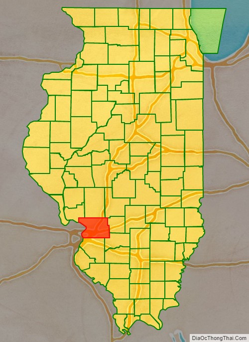
Madison County is a county in the U.S. state of Illinois. It is a part of the Metro East in southern Illinois. According to the 2020 census, it had a population of 264,776, making it the eighth-most populous county in Illinois and the most populous in the southern portion of the state. The county seat is Edwardsville, and the largest city is Granite City.
Madison County is part of the Metro-East region of the St. Louis, MO-IL Metropolitan Statistical Area. The pre-Columbian city of Cahokia Mounds, a World Heritage Site, was located near Collinsville. Edwardsville is home to Southern Illinois University Edwardsville. To the north, Alton is known for its abolitionist and American Civil War-era history. It is also the home of the Southern Illinois University School of Dental Medicine. Godfrey, the village named for Captain Benjamin Godfrey, offers Lewis and Clark Community College formerly the Monticello Female Seminary.
| Name: | Madison County |
|---|---|
| FIPS code: | 17-119 |
| State: | Illinois |
| Founded: | September 14, 1812 |
| Named for: | James Madison |
| Seat: | Edwardsville |
| Largest city: | Granite City |
| Total Area: | 741 sq mi (1,920 km²) |
| Land Area: | 716 sq mi (1,850 km²) |
| Total Population: | 264,776 |
| Population Density: | 360/sq mi (140/km²) |
| Time zone: | UTC−6 (Central) |
| Summer Time Zone (DST): | UTC−5 (CDT) |
| Website: | www.madisoncountyil.gov |
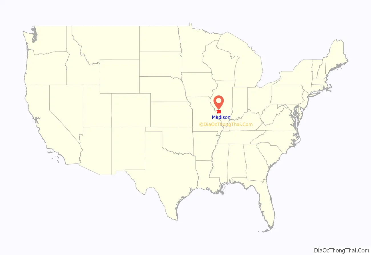
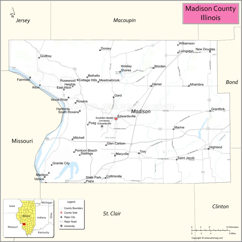
Madison County location map. Where is Madison County?
History
Madison County was established on September 14, 1812. It was formed from parts of Randolph and St. Clair counties and named for President James Madison. At the time of its formation, Madison County included all of the modern State of Illinois north of St. Louis, as well as all of Wisconsin, part of Minnesota, and Michigan’s Upper Peninsula.
In the late 19th century, Madison County became an industrial region, and in the 20th century was known first for Graniteware, and later for its steel mills, oil refineries, and other heavy industries. The county had a large working population, and the county and surrounding area was a center of strength for the Democratic Party.
Industrial restructuring cost many jobs and reduced the population. The county now is part of the eastern St. Louis metropolitan area (nicknamed “Metro East”), as is neighboring St. Clair County.
In 2009, the EPA issued an air pollution report that ranked Madison County as the county with the second-highest cancer risk in the country due to air pollution, second only to Los Angeles County, California.
Madison County between its creation in 1812 and 1815, extending north to Lake Superior and the border with Rupert’s Land
Madison County between 1815 and 1817
Madison County between 1817 and 1821
Madison County between 1821 and 1825
Between 1825 and 1829, Madison included a northern salient that was split off to form part of Macoupin County.
In 1829, Madison returned to its 1821 borders.
In 1843, a small amount of land was transferred to Bond County, reducing Madison to its current size.
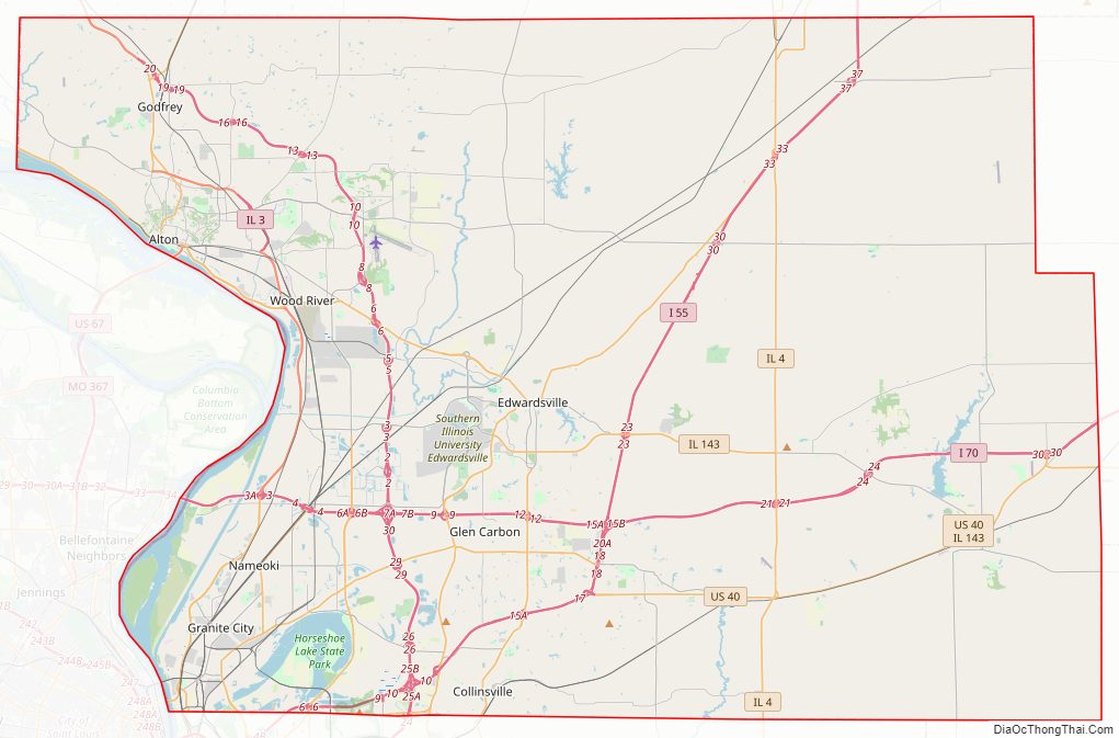
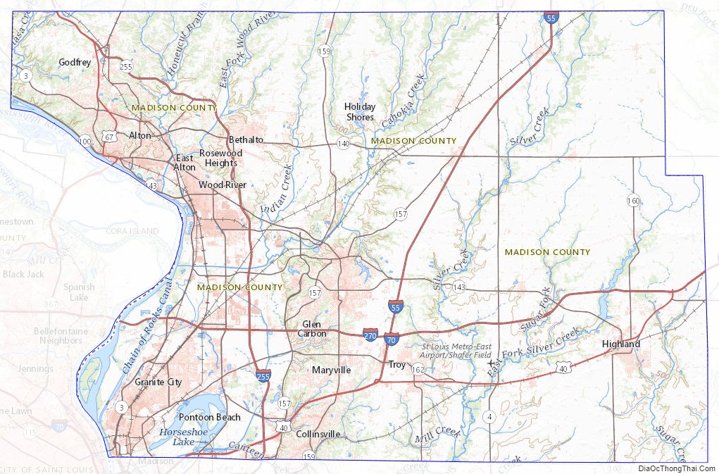
Madison County Road Map
Geography
According to the U.S. Census Bureau, the county has a total area of 741 square miles (1,920 km), of which 716 square miles (1,850 km) is land and 25 square miles (65 km) (3.4%) is water. Madison County is on the Mississippi River, while the other major body of water is Horseshoe Lake.
Climate and weather
In recent years, average temperatures in the county seat of Edwardsville have ranged from a low of 19 °F (−7 °C) in January to a high of 90 °F (32 °C) in July, although a record low of −27 °F (−33 °C) was recorded in January 1977 and a record high of 114 °F (46 °C) was recorded in July 2012. Average monthly precipitation ranged from 1.99 inches (51 mm) in January to 4.24 inches (108 mm) in May. Climate Zone 4A per the International Energy Conservation Code.
Adjacent counties and city
- Bond County – east
- Clinton County – southeast
- Jersey County – northwest
- Macoupin County – north
- Montgomery County – northeast
- St. Charles County, Missouri – northwest
- St. Clair County – south
- St. Louis, Missouri – west
- St. Louis County, Missouri – west
Parks and Reserves
- Chouteau Island
- Gabaret Island
- Horseshoe Lake State Park
- Mosenthein Island
Madison County Topographic Map
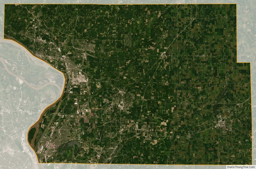
Madison County Satellite Map
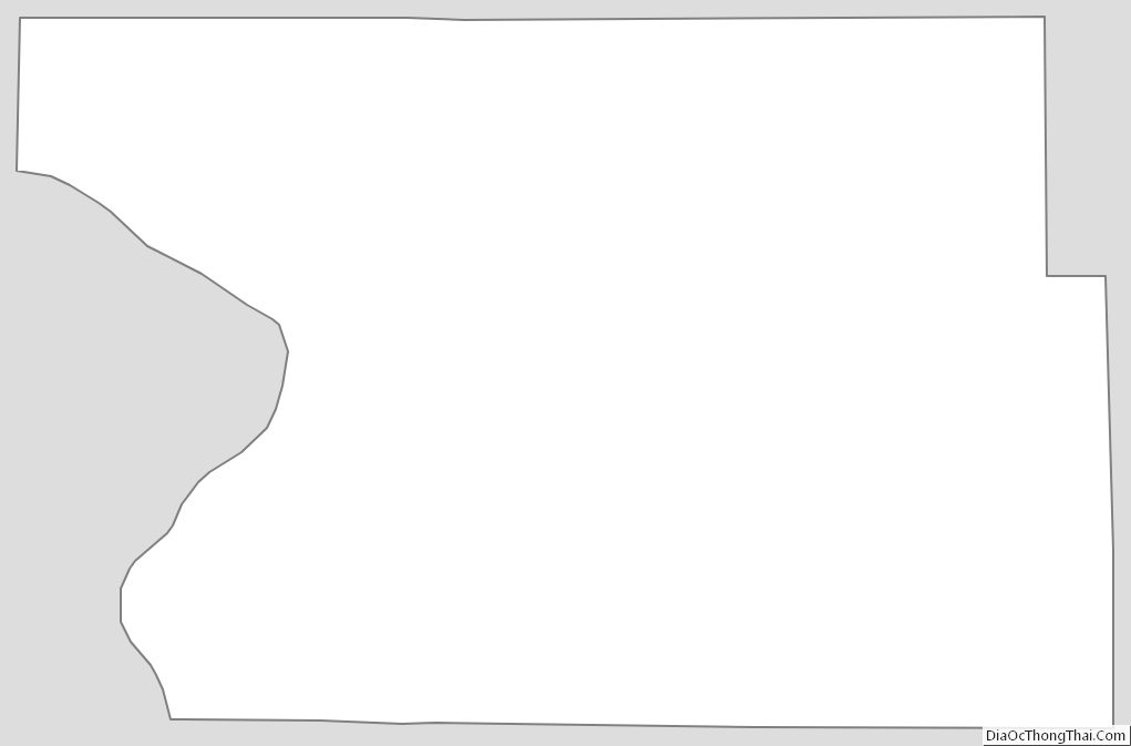
Madison County Outline Map