Collinsville is a city located mainly in Madison County and partially in St. Clair County, Illinois, United States. As of the 2020 census, the city had a population of 24,366. Collinsville is approximately 14 miles (23 km) east of St. Louis, Missouri, and is part of that city’s Metro East area.
Collinsville is the location of Cahokia Mounds State Historic Site, a National Historic Landmark and UNESCO World Heritage Site. This prehistoric urban complex is estimated to have had a population of thousands at its peak, long before European exploration in the area. The city is also known for the Brooks Catsup Bottle Water Tower, the world’s largest ketchup bottle, and is billed as the world’s horseradish capital.
| Name: | Collinsville city |
|---|---|
| LSAD Code: | 25 |
| LSAD Description: | city (suffix) |
| State: | Illinois |
| County: | Madison County, St. Clair County |
| Elevation: | 525 ft (160 m) |
| Total Area: | 15.26 sq mi (39.53 km²) |
| Land Area: | 15.08 sq mi (39.05 km²) |
| Water Area: | 0.19 sq mi (0.48 km²) |
| Total Population: | 24,366 |
| Population Density: | 1,616.10/sq mi (624.00/km²) |
| ZIP code: | 62234 |
| Area code: | 618 |
| FIPS code: | 1715599 |
| GNISfeature ID: | 2393598 |
| Website: | www.collinsvilleil.org |
Online Interactive Map
Click on ![]() to view map in "full screen" mode.
to view map in "full screen" mode.
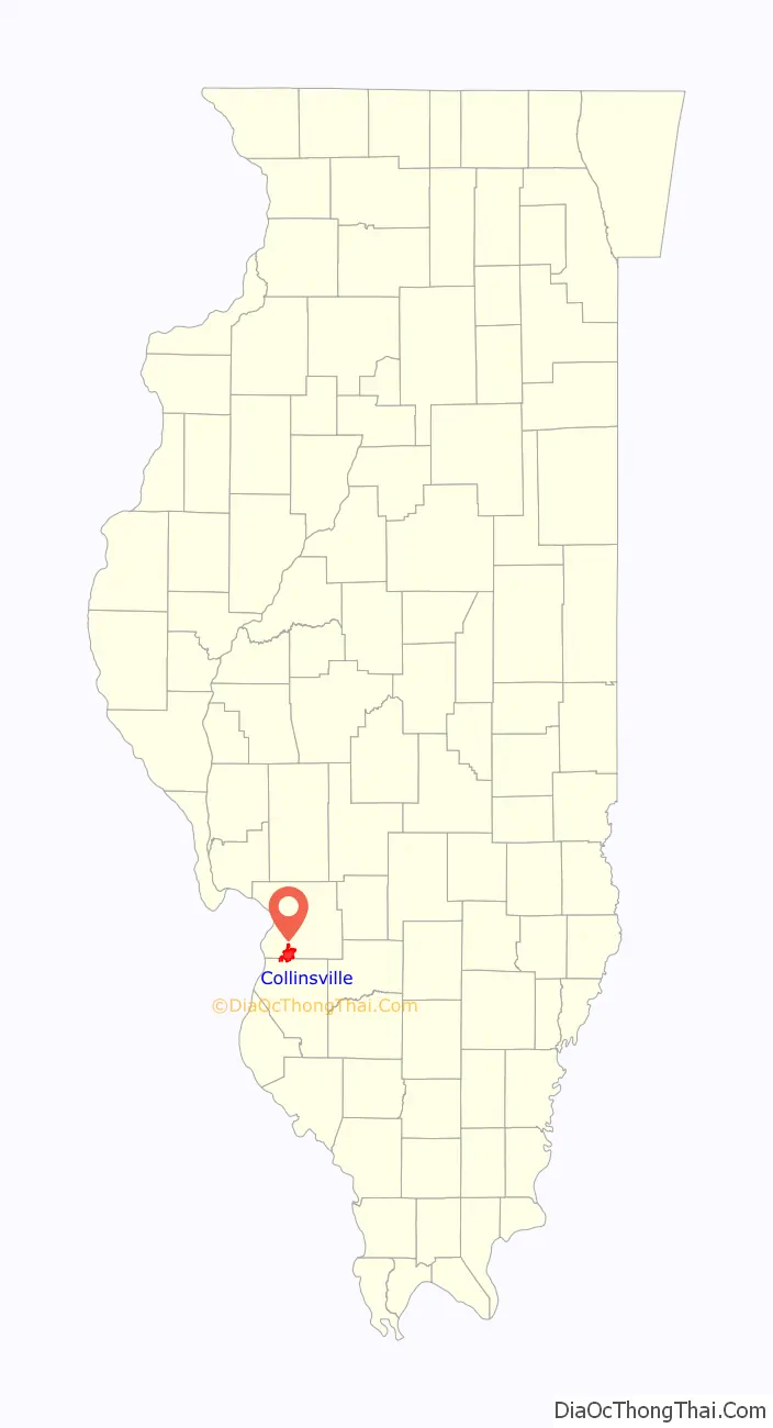
Collinsville location map. Where is Collinsville city?

History
Cahokia, the largest Pre-Columbian settlement north of Mexico, was developed by the Mississippian culture and is located in what is now the westernmost part of Collinsville. At its peak about 1200 CE, Cahokia had a population of 20,000-30,000, more than any city in the present-day United States until after 1800. It includes Monks Mound, the largest prehistoric earthwork in the Americas, and more than 70 surviving smaller mounds. Monks Mound is larger at its base than the Great Pyramid of Giza.
During the French colonial era of its Illinois Country, a group of French Catholic monks had a settlement on Monks Mound, after whom it was later named. They cultivated agriculture on the terraces of the mound. They traded with bands of the historic Illini, who had migrated into the area after the peak of the Mississippian culture.
Collinsville was subsequently settled by the Cook family and by a group of German-American settlers who arrived by Conestoga wagon in 1812 from Pennsylvania. They founded Holy Cross Lutheran Church. They also had a hardware store, though they were mainly farmers. Within five or six years, a number of other settlers arrived and began to organize the legal work required to form a town on the site. These original settlers are all buried in the Cook Cemetery or the Old Lutheran Cemetery. Other early settlers are buried in the Old German Cemetery near Sugarloaf Road near Maryville.
During World War I, a Collinsville mob, composed mostly of local coal miners, lynched a German immigrant, the only such wartime murder in the country. On April 5, 1918, the mob numbering up to 300 men took Robert Prager from his home and paraded him through the streets barefoot and wrapped in an American flag, forcing him to sing patriotic songs. Collinsville police interceded and took Prager into protective custody. The mob was later mistakenly allowed to search city hall, and two men found Prager hiding in the basement. They took Prager outside and the mob marched him to the outskirts of town, along the St. Louis Road, where they lynched him. His final request was to be buried in the American flag. Eleven men stood trial for the murder, but all were acquitted on June 1, 1918.
Several historical buildings survive in Collinsville. Built in 1885, the City Hall is still used today. It was built on property originally owned by the Collins family. The building features Italianate architecture with window crowns. A short, half-block walk from City Hall is the former State Bank of Collinsville at the corner of Center and Main streets. Designed in 1916 by architect Robert G. Kirsch, this structure features a limestone exterior and marble interior walls. To the west on Main Street, the Collinsville Public Library is a colonial-style brick building with an inviting circular stone walkway; the first section was completed in 1937. Additional wings were added in 1967 and 1980.
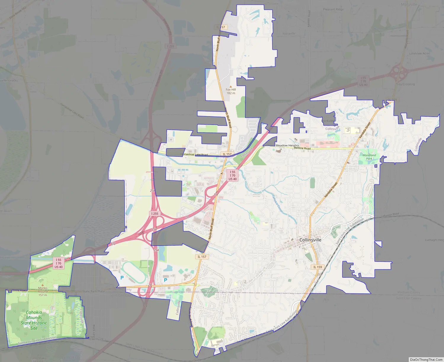
Collinsville Road Map
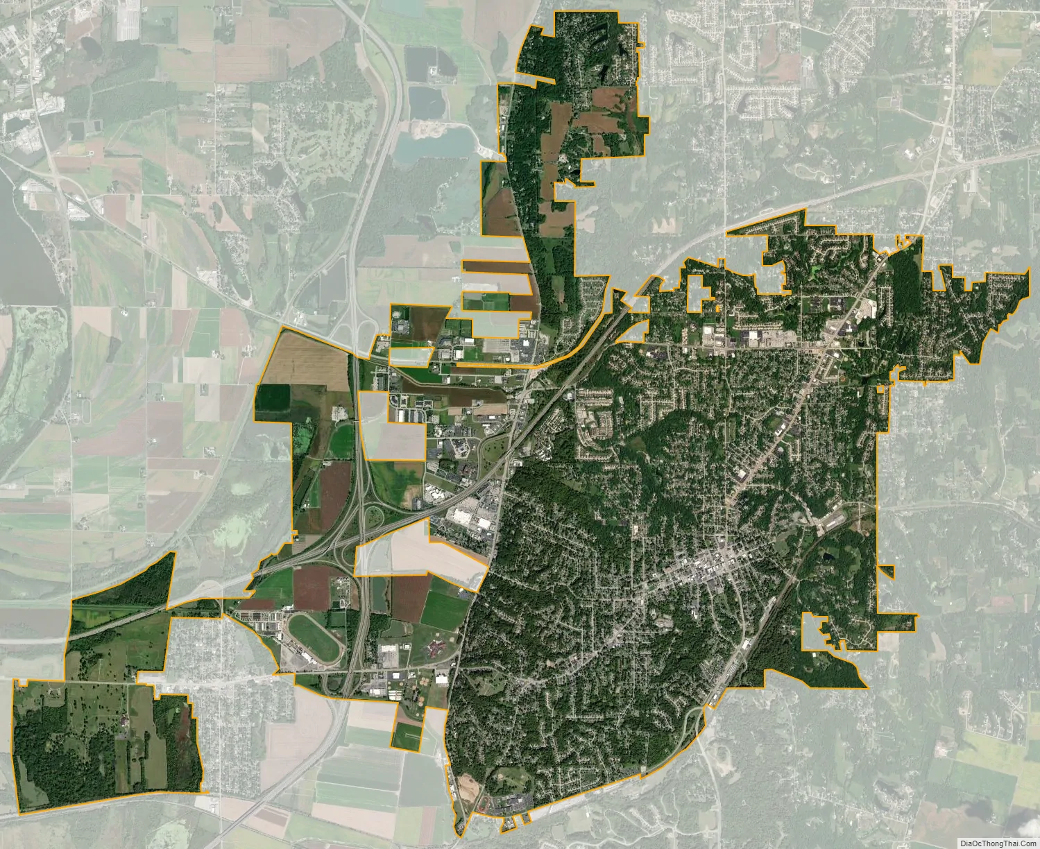
Collinsville city Satellite Map
Geography
Collinsville is located mainly in southern Madison County at 38°40′28″N 89°59′43″W / 38.67444°N 89.99528°W / 38.67444; -89.99528 (38.674398, -89.995402), approximately 12 miles (19 km) by air or 14 miles (23 km) by road east-northeast of downtown St Louis. Two portions of the city extend south into St. Clair County. Collinsville is bordered to the north by Maryville, to the west by Pontoon Beach and Fairmont City, and to the south by Caseyville. The 90W longitude line passes through Collinsville, west of the city center.
According to the U.S. Census Bureau, Collinsville has a total area of 15.26 square miles (39.5 km), of which 15.08 square miles (39.1 km) are land and 0.19 square miles (0.49 km), or 1.22%, are water. The city is drained to the northwest by Schoolhouse Branch and to the south by Canteen Creek, both of which flow west into the Mississippi River valley in the western part of the city.
Interstates 55 and 70 run concurrently through the north side of Collinsville, with access from Exits 9 through 15, while Interstate 255 passes through the west side of the city, with access from Exits 24 and 26. Illinois Route 159 passes through the center of Collinsville as Morrison Avenue and Vandalia Street, leading north 10 miles (16 km) to Edwardsville and south 5 miles (8 km) to Fairview Heights, while Route 157 (Bluff Road) crosses the west side of the city, leading north 5 miles (8 km) to Glen Carbon and south 3 miles (5 km) to Caseyville.
See also
Map of Illinois State and its subdivision:- Adams
- Alexander
- Bond
- Boone
- Brown
- Bureau
- Calhoun
- Carroll
- Cass
- Champaign
- Christian
- Clark
- Clay
- Clinton
- Coles
- Cook
- Crawford
- Cumberland
- De Kalb
- De Witt
- Douglas
- Dupage
- Edgar
- Edwards
- Effingham
- Fayette
- Ford
- Franklin
- Fulton
- Gallatin
- Greene
- Grundy
- Hamilton
- Hancock
- Hardin
- Henderson
- Henry
- Iroquois
- Jackson
- Jasper
- Jefferson
- Jersey
- Jo Daviess
- Johnson
- Kane
- Kankakee
- Kendall
- Knox
- La Salle
- Lake
- Lake Michigan
- Lawrence
- Lee
- Livingston
- Logan
- Macon
- Macoupin
- Madison
- Marion
- Marshall
- Mason
- Massac
- McDonough
- McHenry
- McLean
- Menard
- Mercer
- Monroe
- Montgomery
- Morgan
- Moultrie
- Ogle
- Peoria
- Perry
- Piatt
- Pike
- Pope
- Pulaski
- Putnam
- Randolph
- Richland
- Rock Island
- Saint Clair
- Saline
- Sangamon
- Schuyler
- Scott
- Shelby
- Stark
- Stephenson
- Tazewell
- Union
- Vermilion
- Wabash
- Warren
- Washington
- Wayne
- White
- Whiteside
- Will
- Williamson
- Winnebago
- Woodford
- Alabama
- Alaska
- Arizona
- Arkansas
- California
- Colorado
- Connecticut
- Delaware
- District of Columbia
- Florida
- Georgia
- Hawaii
- Idaho
- Illinois
- Indiana
- Iowa
- Kansas
- Kentucky
- Louisiana
- Maine
- Maryland
- Massachusetts
- Michigan
- Minnesota
- Mississippi
- Missouri
- Montana
- Nebraska
- Nevada
- New Hampshire
- New Jersey
- New Mexico
- New York
- North Carolina
- North Dakota
- Ohio
- Oklahoma
- Oregon
- Pennsylvania
- Rhode Island
- South Carolina
- South Dakota
- Tennessee
- Texas
- Utah
- Vermont
- Virginia
- Washington
- West Virginia
- Wisconsin
- Wyoming


