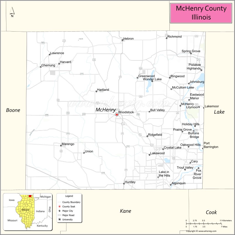
McHenry County is a county located in the U.S. state of Illinois. According to the 2020 Census, it had a population of 310,229, making it the sixth-most populous county in Illinois. Its county seat is Woodstock. McHenry County is one of the five collar counties of the Chicago-Naperville–Elgin, IL-IN–WI Metropolitan Statistical Area. Long known as a center of recreation along with agriculture in the western portion, it has more recently experienced rapid rates of suburbanization, exurbanization and urbanization, but the western portions of the county remain primarily agricultural and rural.
| Name: | McHenry County |
|---|---|
| FIPS code: | 17-111 |
| State: | Illinois |
| Founded: | January 16th, 1836 |
| Named for: | William McHenry |
| Seat: | Woodstock |
| Largest city: | Crystal Lake |
| Total Area: | 611 sq mi (1,580 km²) |
| Land Area: | 603 sq mi (1,560 km²) |
| Total Population: | 310,229 |
| Population Density: | 510/sq mi (200/km²) |
| Time zone: | UTC−6 (Central) |
| Summer Time Zone (DST): | UTC−5 (CDT) |
| Website: | www.co.mchenry.il.us |
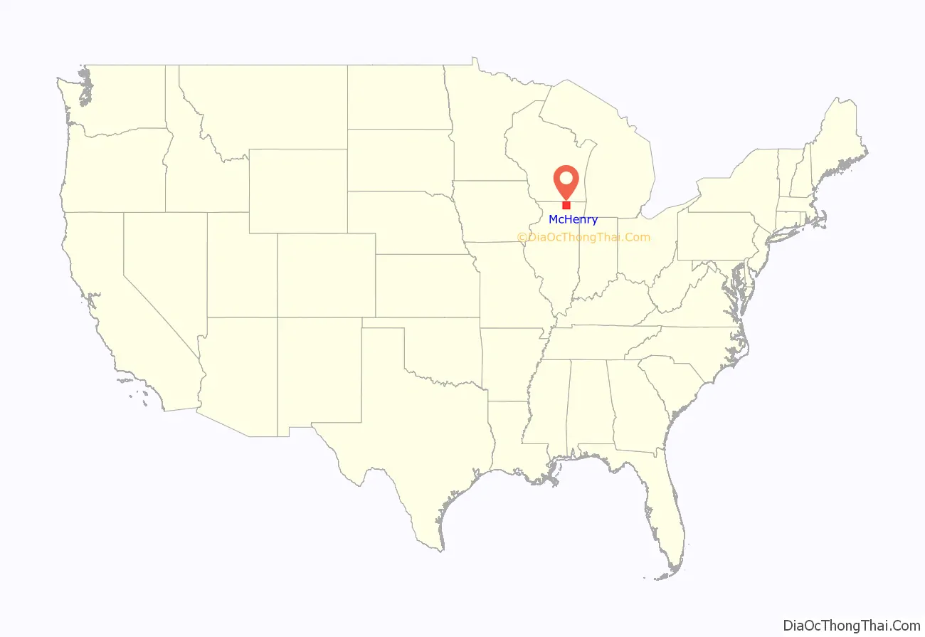
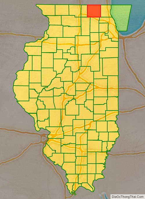
McHenry County location map. Where is McHenry County?
History
McHenry County was formed in 1836 out of Cook and LaSalle counties. The county was named for Major William McHenry, a member of the Illinois Militia during Tecumseh’s War, a major during the Blackhawk War in 1832, and a member of the Illinois House of Representatives and Senate. He died in Vandalia in 1835.
McHenry County originally stretched all the way east to Lake Michigan, with the county seat centrally in McHenry, but in 1839, the eastern townships of the county were carved out to form Lake County.
McHenry County at the time of its creation in 1836
McHenry County was reduced to its current size in 1839 by the creation of Lake County, Illinois.
Historical sites
- The Count’s House, 3803 Waukegan Rd, McHenry
- Charles H. Hibbard House, 413 W Grant Hwy, Marengo
- Col. Gustavus A. Palmer House, 5516 Terra Cotta Rd., Crystal Lake
- Orson Rogers House, 19621 E Grant Hwy, Marengo
- Lucein Boneparte Covell House, 5805 Broadway, Richmond
- Memorial Hall, 10308 Main St, Richmond
- Old McHenry County Courthouse, Woodstock City Square, Woodstock
- Woodstock Opera House, 110 Van Buren St, Woodstock
- Woodstock Square Historic District, Woodstock
- George Stickney House, 1904 Cherry Valley Rd, Bull Valley
- Terwilliger House, Mason Hill Rd & Cherry Valley Rd, Bull Valley
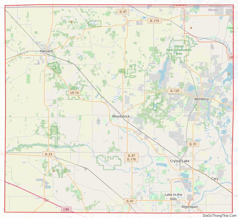
McHenry County Road Map
Geography
According to the U.S. Census Bureau, the county has a total area of 611 square miles (1,580 km), of which 603 square miles (1,560 km) is land and 7.6 square miles (20 km) (1.3%) is water.
Adjacent counties
- Walworth County, Wisconsin – north
- Kenosha County, Wisconsin – northeast
- Lake County – east
- Cook County – southeast
- Kane County – south
- DeKalb County – southwest
- Boone County – west
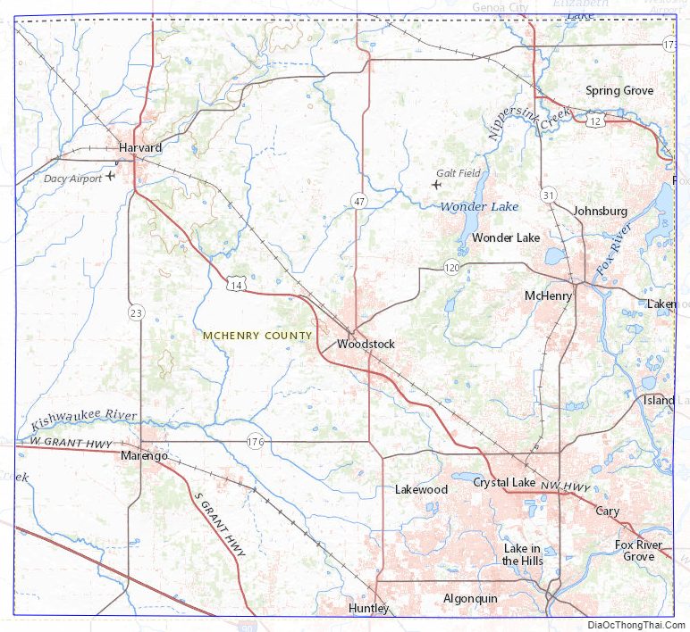
McHenry County Topographic Map
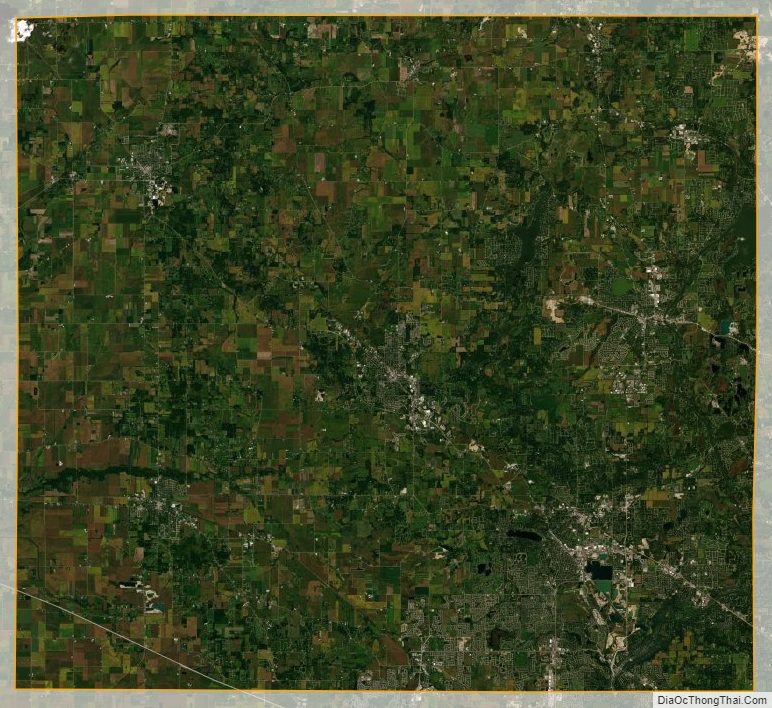
McHenry County Satellite Map
McHenry County Outline Map