McHenry is a city in McHenry County, Illinois, United States. It is a suburb, part of the Chicago metropolitan area and is located about 37 miles northwest of Chicago. Per the 2020 census, the population was 27,135. McHenry was at one time the county seat of McHenry County, which once included adjoining Lake County to the east. McHenry took its name from the county, which was named for Major William McHenry, a prominent US Army officer in the Black Hawk War.
It rests at an elevation of 797 feet and the Fox River flows through the eastern portion of the city. It is surrounded by natural lakes and streams, grassy moraine hills, gravel banks and shallow nutrient-rich peat bogs, remnants of receding glaciers from the last ice age. Moraine Hills State Park, Glacial Park Conservation Area, and Volo Bog State Natural Area preserve some of these natural features.
| Name: | McHenry city |
|---|---|
| LSAD Code: | 25 |
| LSAD Description: | city (suffix) |
| State: | Illinois |
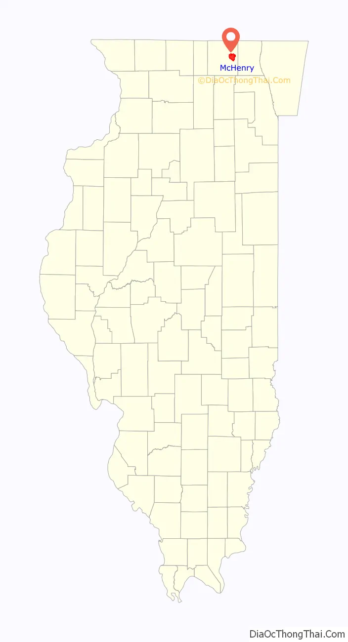
| County: | McHenry County |
| Founded: | May 10, 1836 |
| Elevation: | 797 ft (243 m) |
| Total Area: | 14.96 sq mi (38.74 km²) |
| Land Area: | 14.54 sq mi (37.65 km²) |
| Water Area: | 0.42 sq mi (1.09 km²) |
| Total Population: | 27,135 |
| Population Density: | 1,866.74/sq mi (720.74/km²) |
| FIPS code: | 1745694 |
| GNISfeature ID: | 424159 |
| Website: | www.ci.mchenry.il.us |
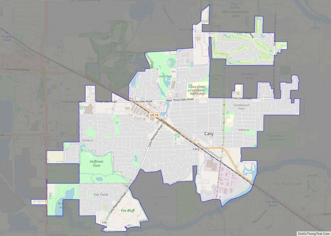
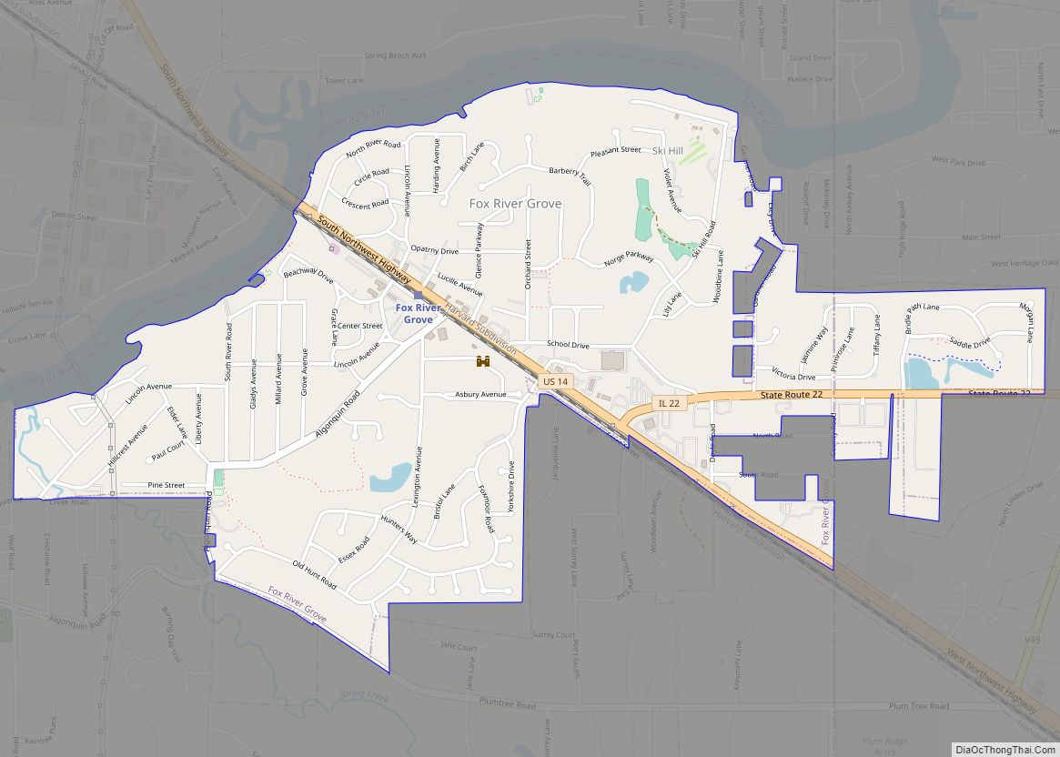
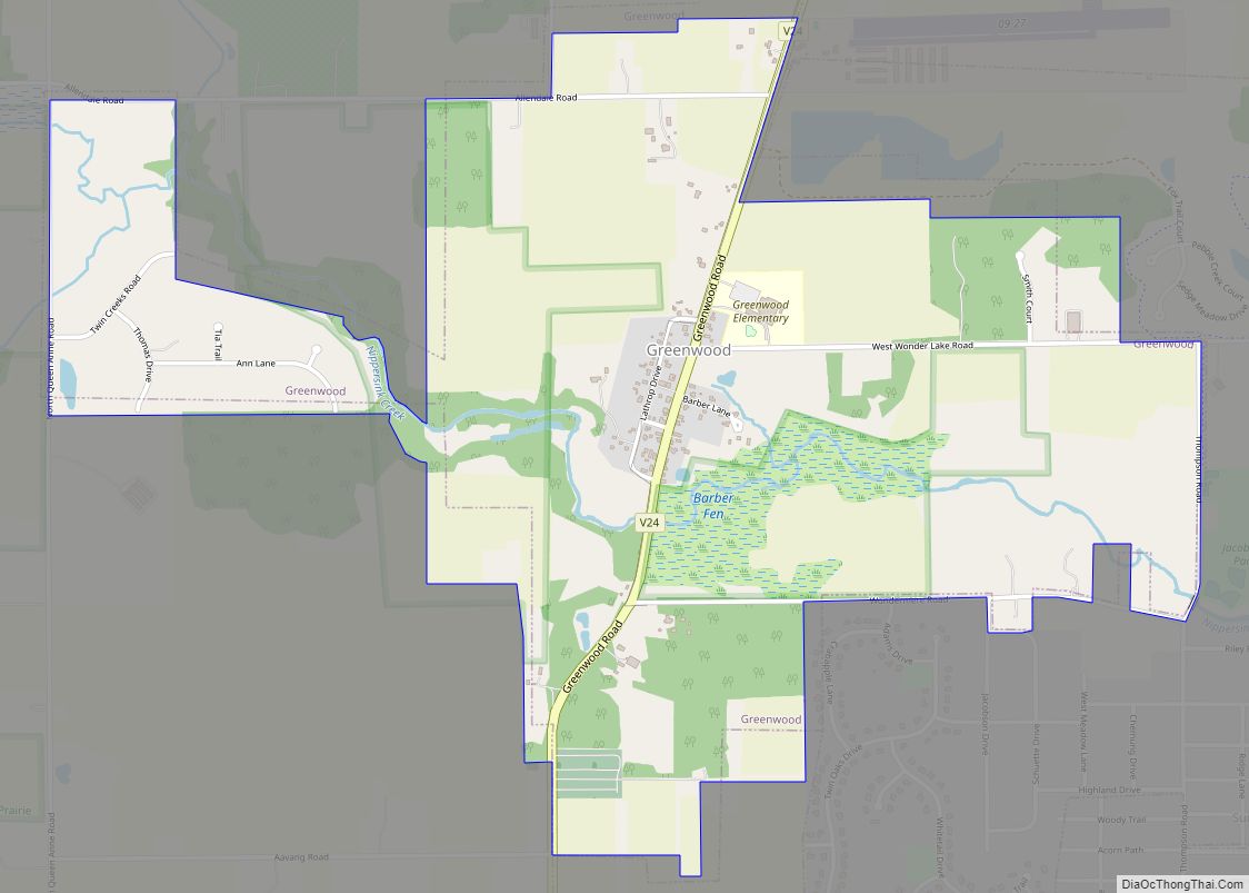
Online Interactive Map
Click on ![]() to view map in "full screen" mode.
to view map in "full screen" mode.
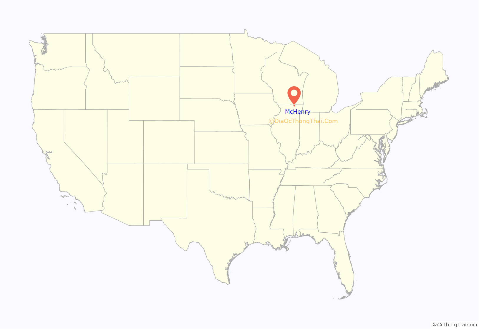
McHenry location map. Where is McHenry city?
History
19th century
In the 1830s various settlers arrived in the area and created the foundation for McHenry. Some of the family names can still be seen today: McCullom, McLean, Boone, and Wheeler.
George Gage came to the area in 1835 and purchased a plot of land west of the Fox River. This area eventually came to be known as Gagetown. In 1854, George Gage played an instrumental role in bringing the railroad to the city. Gagetown was eventually renamed to West McHenry.
In 1851, a dam was built on Boone Creek which created Mill Pond. The pond encompassed an area between today’s rail road tracks and Route 31 and north of Waukegan Road.
In 1860, the historical Count’s House was completed.
On August 4, 1875, the first issue of the city newspaper, the McHenry Plaindealer, was published by Jay Van Slyke.
In 1880, the first bridge in McHenry was built at Pearl Street.
20th century
On March 30, 1908 a train bound for Ringwood crashed near the McHenry train depot. One person was killed.
In 1929, Mill Pond was drained by removing the dam on Boone Creek.
The original Pearl Street bridge was dismantled in 1976 and rebuilt using concrete. The bridge was split into multiple parts and relocated. One part sits on the grounds of TC Industries in Crystal Lake. Another sits in a county storage unit.
In 1985, the McHenry Plaindealer became part of the Northwest Herald.
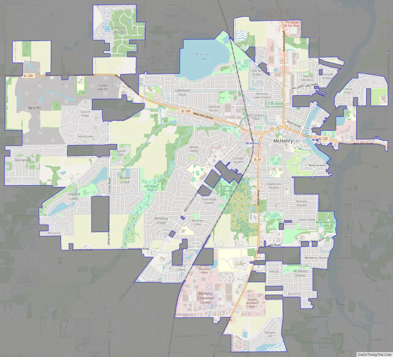
McHenry Road Map
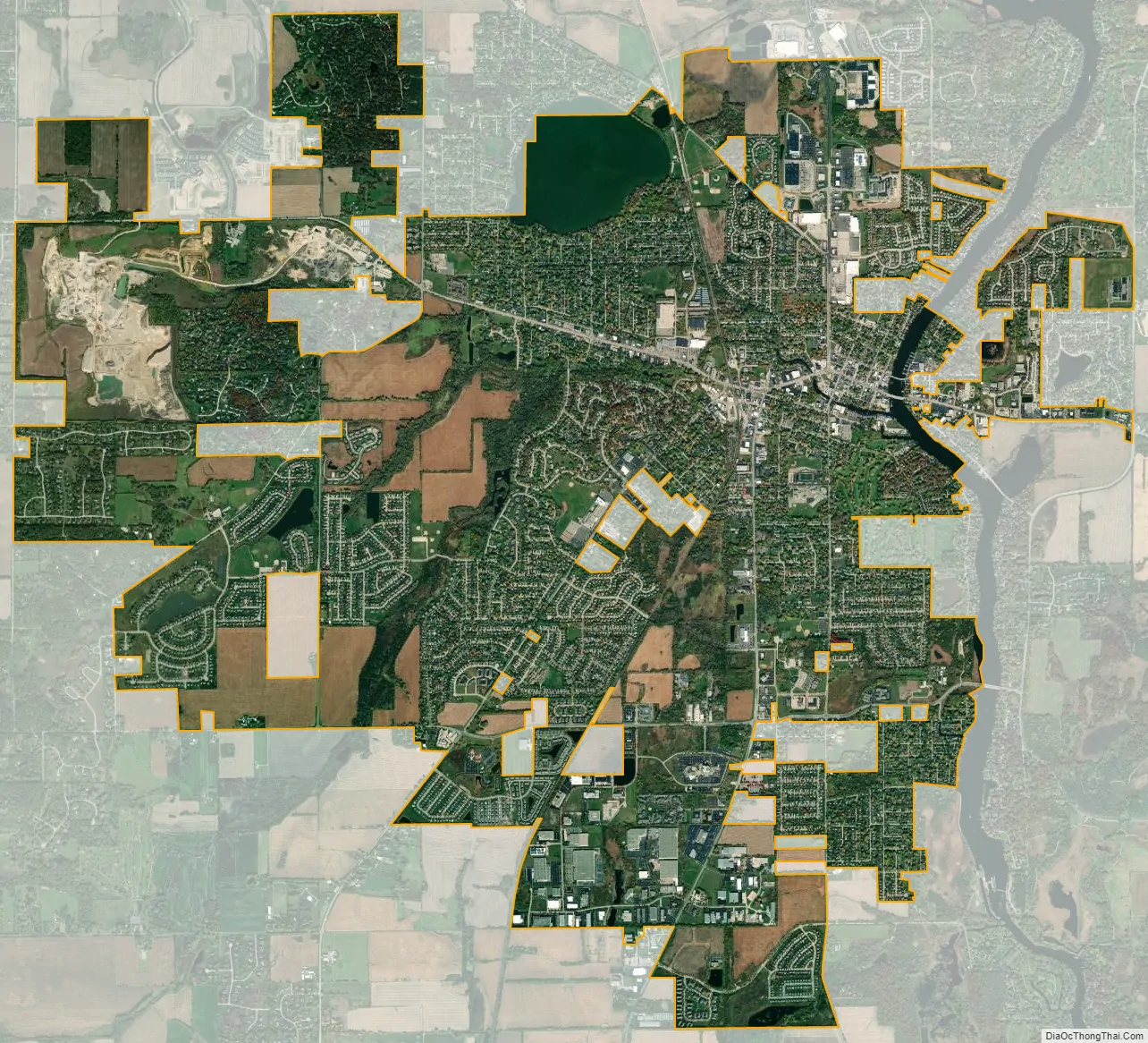
McHenry city Satellite Map
Geography
McHenry is located 50 miles northwest of Chicago in northeastern Illinois on the Fox River. According to the 2010 census, McHenry has a total area of 15.175 square miles (39.30 km), of which 14.74 square miles (38.18 km) (or 97.13%) is land and 0.435 square miles (1.13 km) (or 2.87%) is water. McHenry lies within the Fox River Valley, and its downtown area is situated on that river which is how it earned the nickname “The Heart of the Fox River”.
See also
Map of Illinois State and its subdivision:- Adams
- Alexander
- Bond
- Boone
- Brown
- Bureau
- Calhoun
- Carroll
- Cass
- Champaign
- Christian
- Clark
- Clay
- Clinton
- Coles
- Cook
- Crawford
- Cumberland
- De Kalb
- De Witt
- Douglas
- Dupage
- Edgar
- Edwards
- Effingham
- Fayette
- Ford
- Franklin
- Fulton
- Gallatin
- Greene
- Grundy
- Hamilton
- Hancock
- Hardin
- Henderson
- Henry
- Iroquois
- Jackson
- Jasper
- Jefferson
- Jersey
- Jo Daviess
- Johnson
- Kane
- Kankakee
- Kendall
- Knox
- La Salle
- Lake
- Lake Michigan
- Lawrence
- Lee
- Livingston
- Logan
- Macon
- Macoupin
- Madison
- Marion
- Marshall
- Mason
- Massac
- McDonough
- McHenry
- McLean
- Menard
- Mercer
- Monroe
- Montgomery
- Morgan
- Moultrie
- Ogle
- Peoria
- Perry
- Piatt
- Pike
- Pope
- Pulaski
- Putnam
- Randolph
- Richland
- Rock Island
- Saint Clair
- Saline
- Sangamon
- Schuyler
- Scott
- Shelby
- Stark
- Stephenson
- Tazewell
- Union
- Vermilion
- Wabash
- Warren
- Washington
- Wayne
- White
- Whiteside
- Will
- Williamson
- Winnebago
- Woodford
- Alabama
- Alaska
- Arizona
- Arkansas
- California
- Colorado
- Connecticut
- Delaware
- District of Columbia
- Florida
- Georgia
- Hawaii
- Idaho
- Illinois
- Indiana
- Iowa
- Kansas
- Kentucky
- Louisiana
- Maine
- Maryland
- Massachusetts
- Michigan
- Minnesota
- Mississippi
- Missouri
- Montana
- Nebraska
- Nevada
- New Hampshire
- New Jersey
- New Mexico
- New York
- North Carolina
- North Dakota
- Ohio
- Oklahoma
- Oregon
- Pennsylvania
- Rhode Island
- South Carolina
- South Dakota
- Tennessee
- Texas
- Utah
- Vermont
- Virginia
- Washington
- West Virginia
- Wisconsin
- Wyoming