| Name: | Mecklenburg County |
|---|---|
| FIPS code: | 51-117 |
| State: | Virginia |
| Founded: | 1765 |
| Named for: | Charlotte of Mecklenburg-Strelitz |
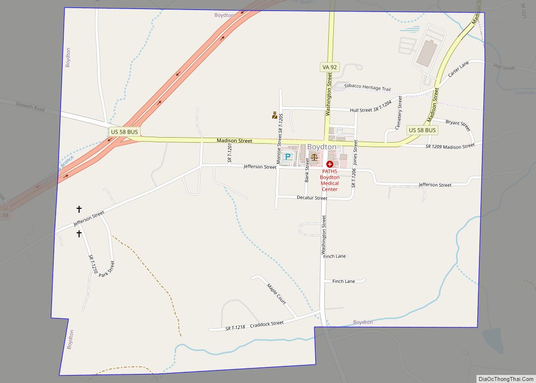
| Seat: | Boydton |
| Largest town: | South Hill |
| Total Area: | 679 sq mi (1,760 km²) |
| Land Area: | 625 sq mi (1,620 km²) |
| Total Population: | 30,319 |
| Population Density: | 45/sq mi (17/km²) |
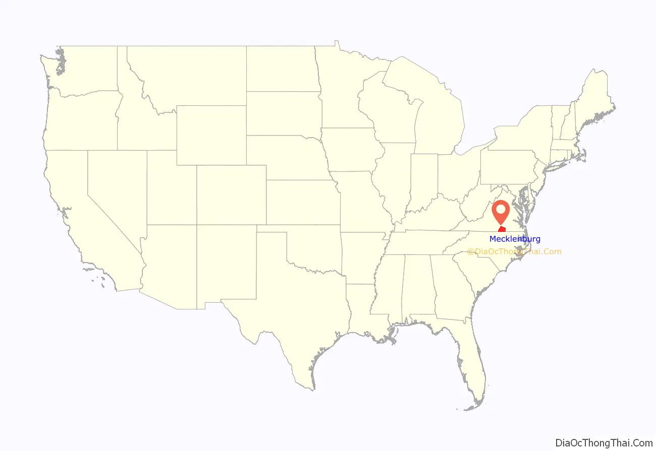
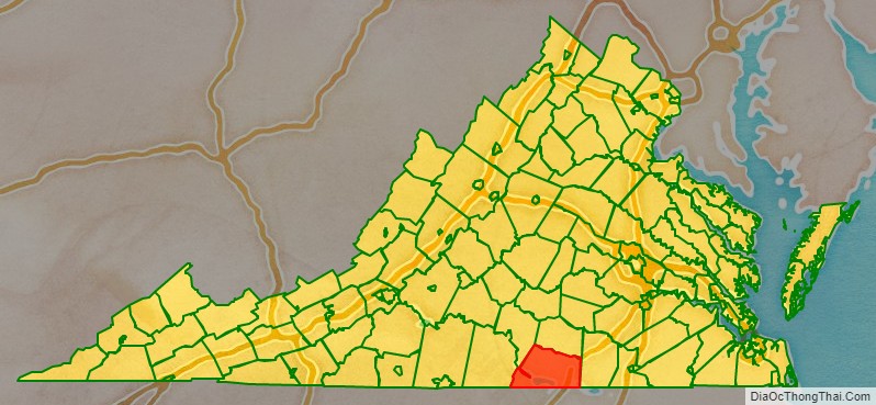
Mecklenburg County location map. Where is Mecklenburg County?
History
Mecklenburg County was organized on March 1, 1765, having split from Lunenburg County in 1764 as the result of the passage of an act by the Virginia General Assembly. Due to new settlement and population increases in the area, the legislature divided Lunenburg into three counties: Lunenburg, Charlotte County, and Mecklenburg. It was named after Charlotte of Mecklenburg-Strelitz, a British queen of German origin.
The first county government consisted of 13 members: Robert Munford, Richard Witton, John Speed, Henry Delony, Edmund Taylor, Benjamin Baird, John Camp, Thomas Erskine, John Potter, John Cox, Thomas Anderson, John Speed, Jr., and Samuel Hopkins, with Benjamin Baird acting as the first mayor.
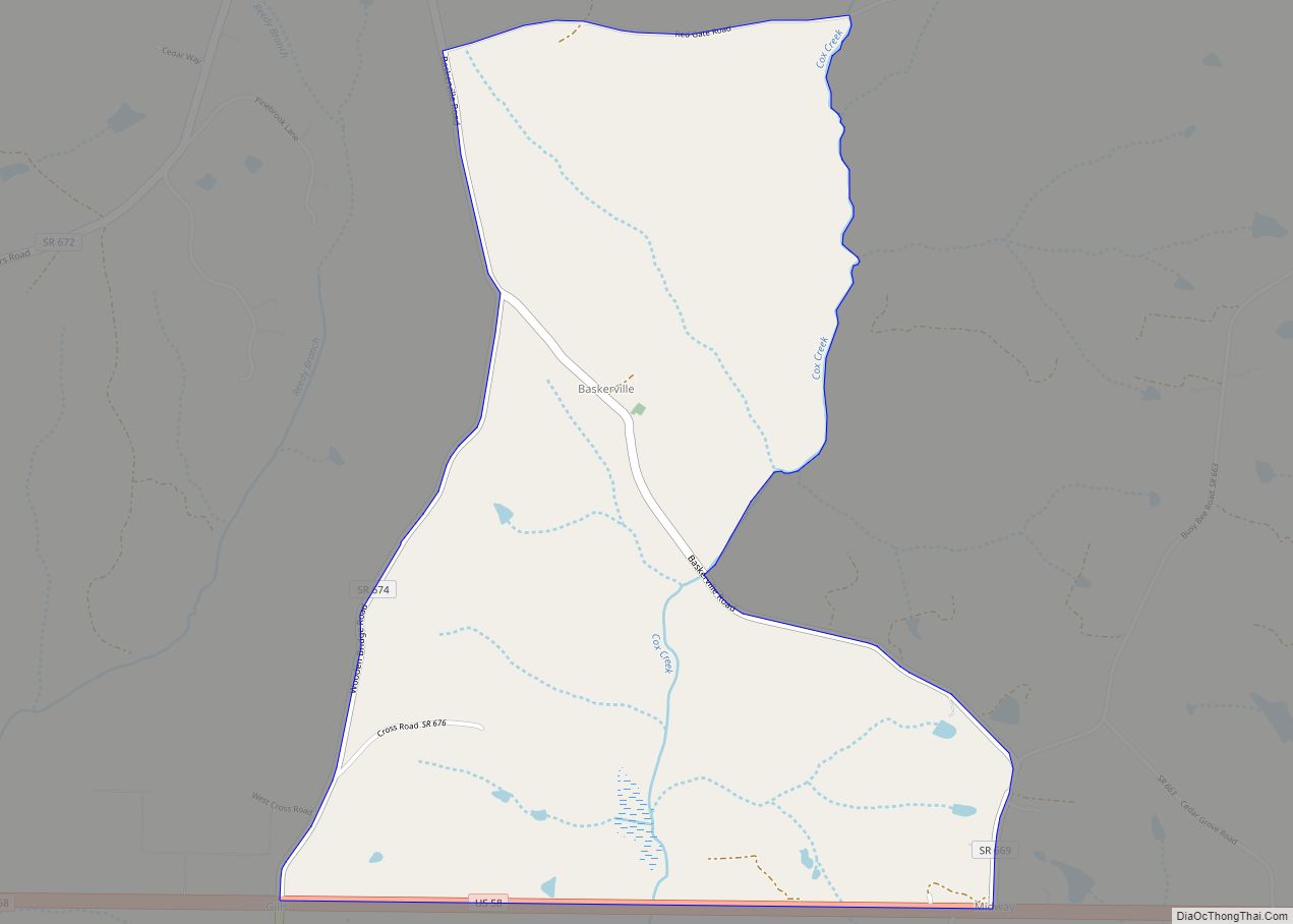
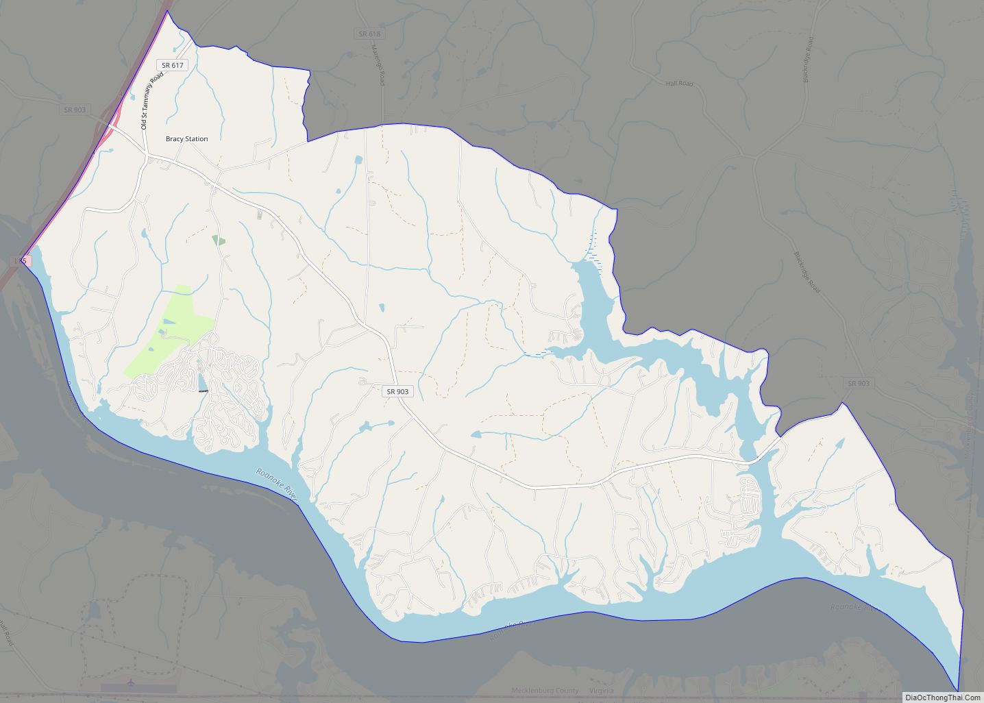
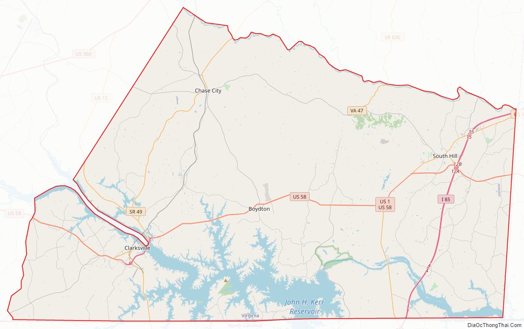
Mecklenburg County Road Map
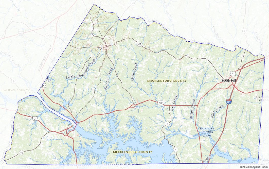
Geography
According to the U.S. Census Bureau, the county has an area of 679 square miles (1,760 km), of which 625 square miles (1,620 km) is land and 54 square miles (140 km) (7.9%) is water.
Adjacent counties
- Lunenburg County – north
- Brunswick County – east
- Warren County, North Carolina – southeast
- Vance County, North Carolina – south
- Granville County, North Carolina – southwest
- Halifax County – west
- Charlotte County – northwest
Major highways
- I-85
- US 1
- US 15
- US 58
- SR 4 (U.S. Bicycle Route 1)
- SR 47
- SR 49
- SR 92
- SR 138
Mecklenburg County Topographic Map
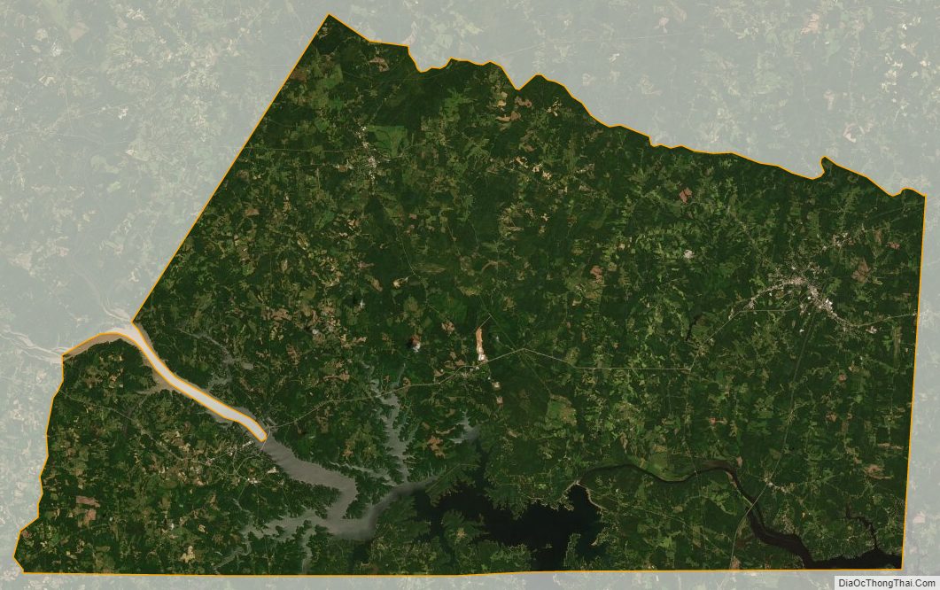
Mecklenburg County Satellite Map
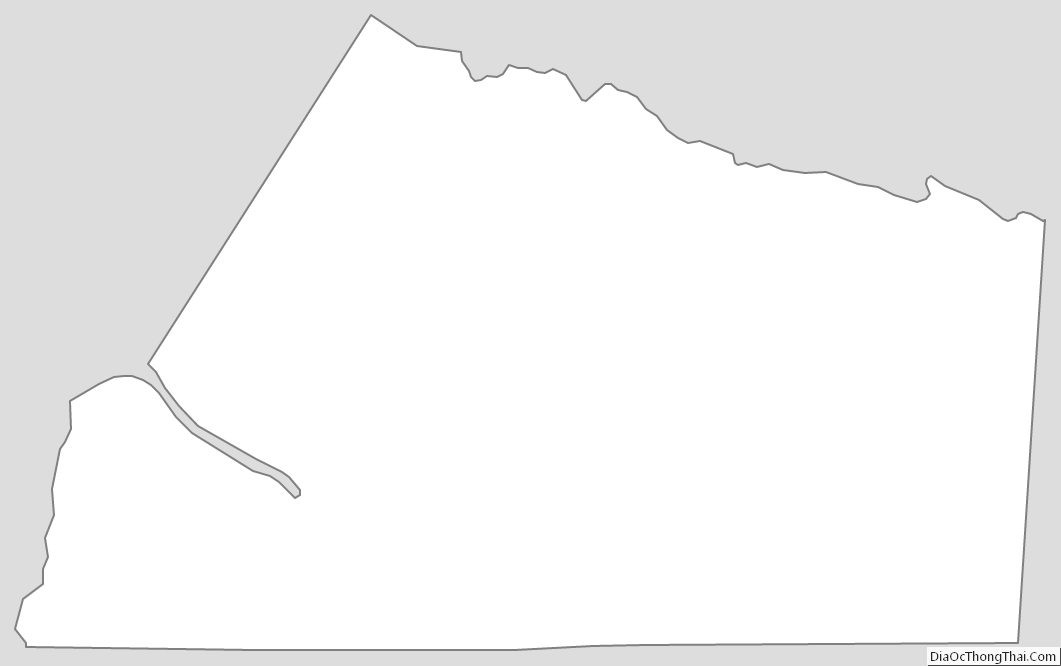
Mecklenburg County Outline Map