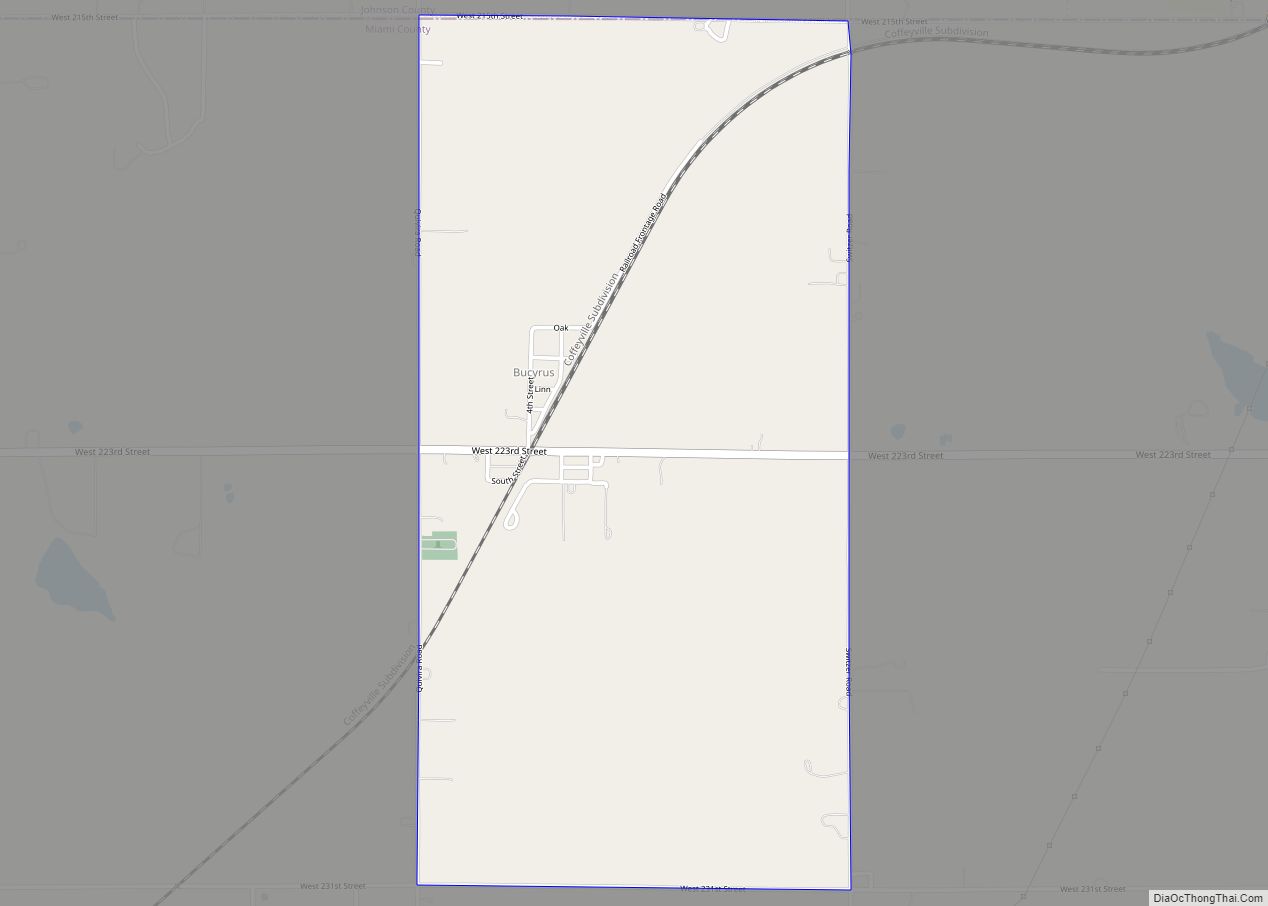
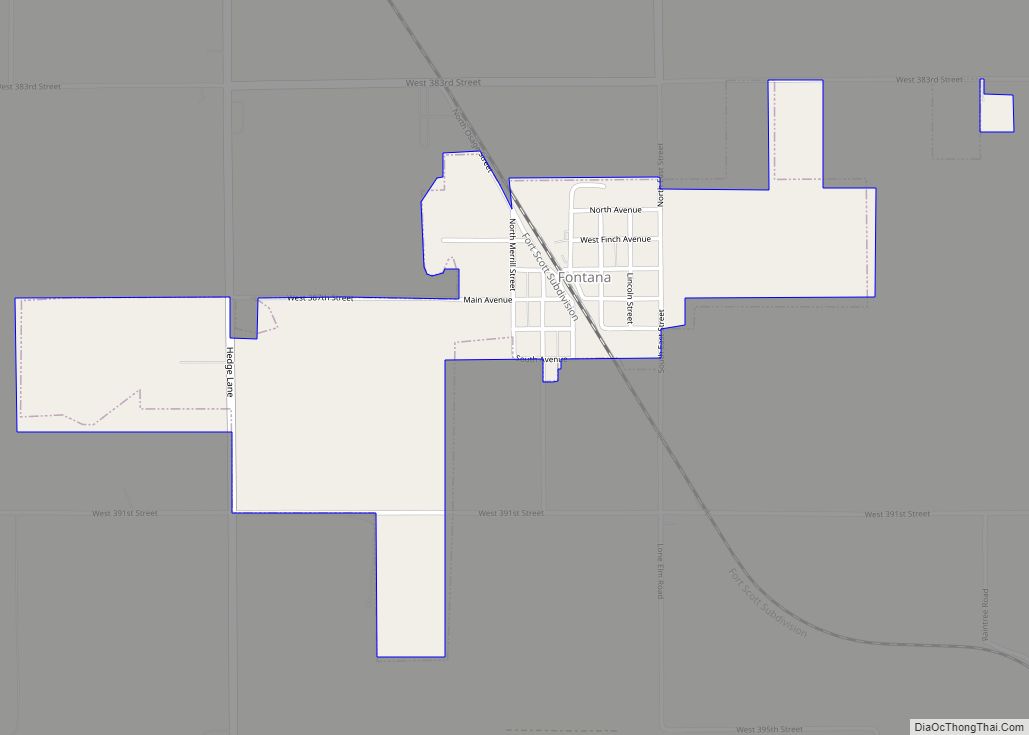
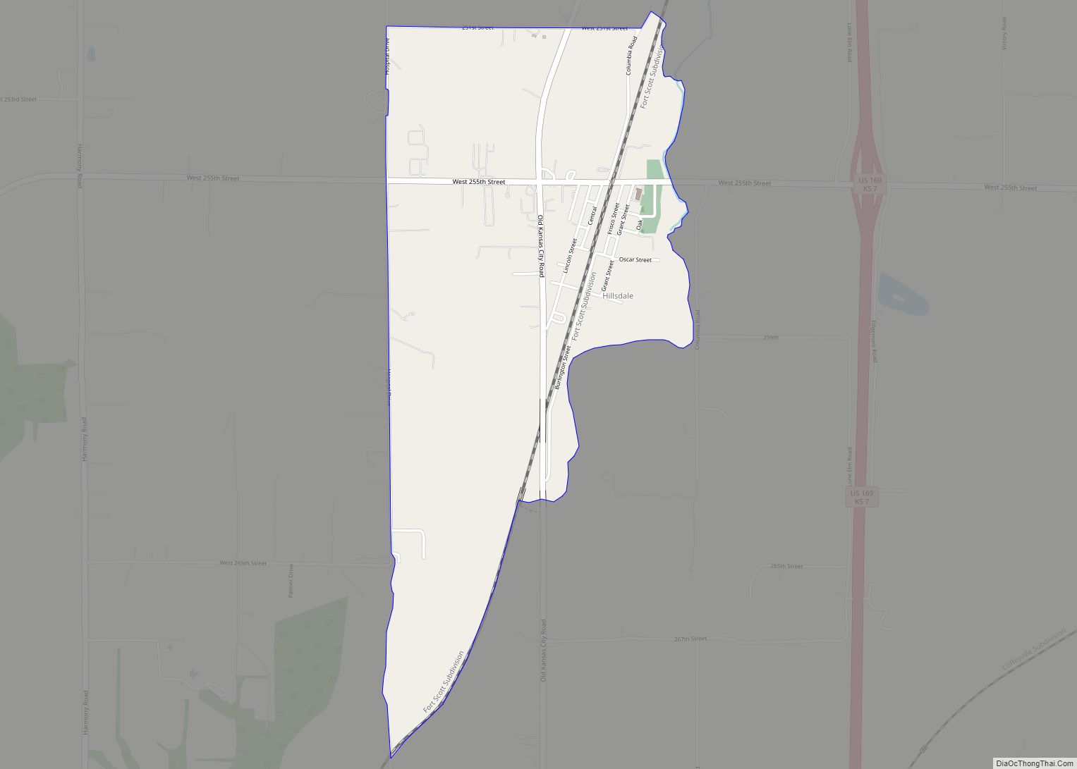
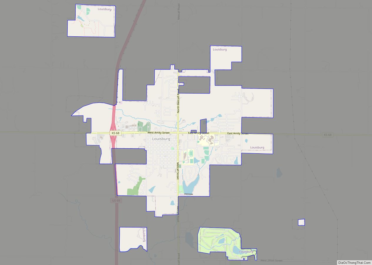
Miami County (county code MI) is a county located in east-central Kansas and is part of the Kansas City metropolitan area. As of the 2020 census, the county population was 34,191. Its county seat and most populous city is Paola.
| Name: | Miami County |
|---|---|
| FIPS code: | 20-121 |
| State: | Kansas |
| Founded: | August 25, 1855 |
| Named for: | Miami tribe |
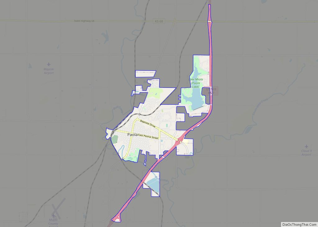
| Seat: | Paola |
| Largest city: | Spring Hill |
| Total Area: | 590 sq mi (1,500 km²) |
| Land Area: | 576 sq mi (1,490 km²) |
| Total Population: | 34,191 |
| Population Density: | 59.4/sq mi (22.9/km²) |
| Time zone: | UTC−6 (Central) |
| Summer Time Zone (DST): | UTC−5 (CDT) |
| Website: | MiamiCountyKS.org |
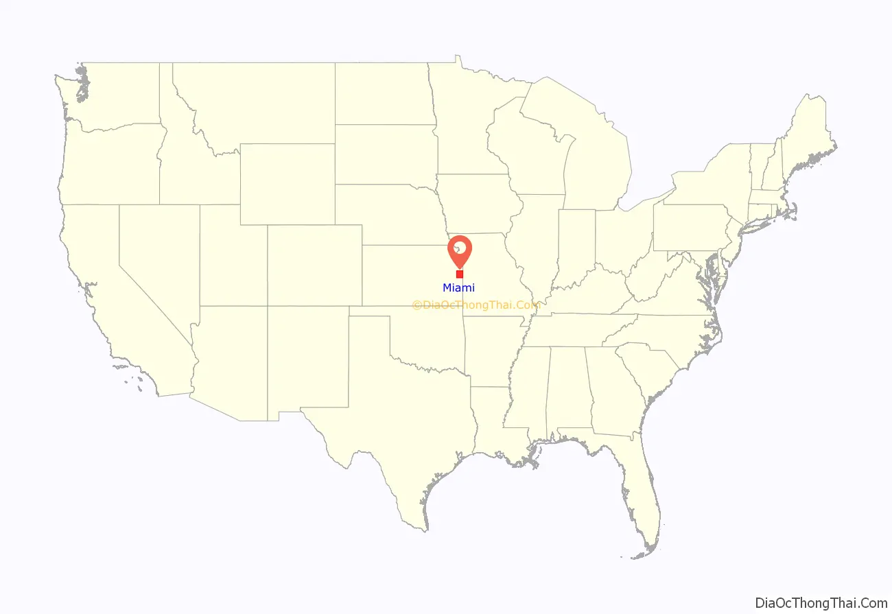
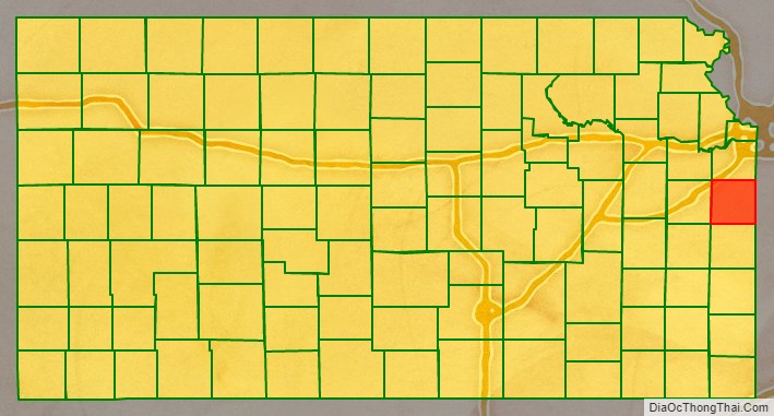
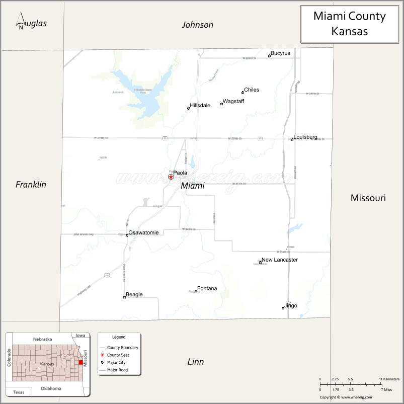
Miami County location map. Where is Miami County?
History
Native Americans
The first settlements of the area were by Native American Indian tribes, primarily in the 1820s through the 1840s. This was due to their removal from areas east (Ohio, Illinois and Indiana)and the designation of the area as part of the Indian Territory. The tribes included were the Miami and Shawnee, and the Pottawatomie, Piankeshaw, Kaskaskia, Wea and Peoria, which comprised the Confederated Tribes. The original Miami reservation consisted of approximately 500,000 acres (2,000 km). Early white settlers during that time were primarily serving as missionaries to the tribes. Over time, other settlers continued to arrive to build homes on the Miami reservation, and by 1854, the U.S. Government purchased all but 72,000 acres (290 km) from the Miami tribe.
Two notable members of the Confederated Tribes were Christmas Dagnette, and Baptiste Peoria. Dagnette was born in 1800, and was a nephew of a Wea chief, originally from Indiana. He had received some formal education, spoke several of the Native American languages, and additionally spoke English, French and Spanish. He had served as an interpreter to the U.S. Government by the age of sixteen. Having moved to the area that is now Miami County with the Wea tribe, he served as chief for several years before his death in 1848. Baptiste Peoria was also born around 1800, and while he didn’t receive formal education like Dagnette, he learned the languages of the Shawnee, Delaware, Pottawatomie, and several more of the Confederated Tribes. In addition, he spoke English and French. Peoria was of both French and Native American Indian ethnicity, and like Dagnette, served as an interpreter and as a chief for some time. Baptiste Peoria became a respected member of the Paola Town Company, and was instrumental in the founding and development of the city of Paola in the early and mid-1860s. He moved (to what is now Oklahoma) with his tribe in 1868, when they were once again removed to a newly designated Indian territory, and died there in 1878. Some of the Native American Indians stayed in the area (Miami County), and became citizens of the United States.
Trail of Death
A notorious path known as the Trail of Death has been officially recognized by the states of Indiana, Illinois, Missouri and Kansas. Signs in all four states highlight the regional historic pathway. The 27-mile trail through the county follows local roads starting in the north at the intersection of 215th Street and Metcalf Avenue(old U.S. Highway 69). It moves south along Metcalf Avenue to Kansas Highway 68, where it again turns west along K-68 to Old Kansas City Road north of Paola. There it turns south on Old KC Road to Baptiste Drive in Paola. The trail makes a short turn back east on Baptiste Drive to North Pearl Street, where it turns south again to West Wea Street adjacent to Paola’s historic Square. It turns west on Wea Street to South Silver Street, follows what is also known as Old Kansas City Road to 327th Street. By turning west on 327th, the trail enters its final path on one road that undergoes several names. The county road 327th Street becomes 6th St Osawatomie as it turns south and enters the city limits. As it exits the city limits, it becomes Plum Creek Road/ K-7 Highway. The farthest south monument for the Trail of Death is located at 363rd Street and Plum Creek Road.
A treaty signed in 1836 forced Indian tribes in the Eastern United States to move west of the Mississippi River, but Pottawatomie Chief Menominee, his tribe, and others refused to leave their land. In autumn 1838, the Pottawatomie were removed by force from their villages and underwent a treacherous two-month journey. On the trip, 42 of the 859 Native Americans died, most of them children and the elderly, from typhoid fever and the stress of the passage. They were buried along the route, which became known as the Trail of Death.
When they reached Kansas, some Pottawatomie lived for about a decade in Linn County at Sugar Creek Trading Post, which is now St. Philippine Duchesne Memorial Park. Other Pottawatomie tribes were relocated to various eastern parts of the state.
The trail, which marks the route the Pottawatomie took, begins in Rochester, Ind., and meanders through Illinois and Missouri to end in eastern Kansas. The route was documented by Jesse C. Douglas, who accompanied the group on the march.
The Trail of Death Commemorative Caravan of Pottawatomie Indians and historians has retraced the 660-mile trail every five years since 1988. Travelers on the trail today can view artifacts from the Pottawatomie Tribe along with other historical displays at the Miami County Historical Museum located in Paola, 12 E. Peoria St. Those displays include a diary of their trip, which hangs just outside the Early American History Room. .
Pre-Civil War Period
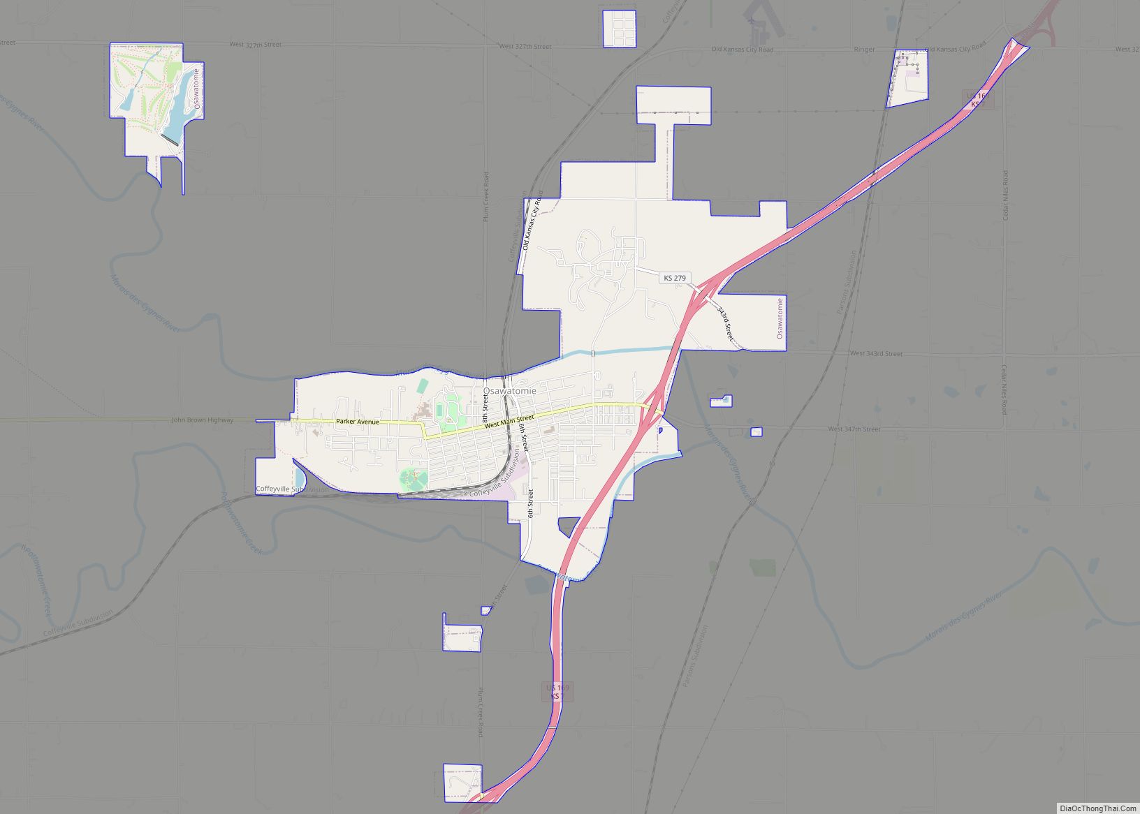
When Kansas Territory was incorporated in 1854 due to the Kansas–Nebraska Act, the Missouri Compromise of 1820 was essentially repealed. Bordering the slave state of Missouri to its east, the county (Miami) and surrounding areas became a location for violence between abolitionists and the “border ruffians” of Missouri. These acts of violence and battles that took place primarily from 1854 to 1858, became known as border wars, and Kansas became known as Bleeding Kansas. Kansas Territory was not yet a state, and it was a battle on which forces would become dominant, slave or free. Many abolitionists came from other states to live in the area and ensure Kansas’ entry as a state as a free, or anti-slavery one. The county’s most notable abolitionist was John Brown, who moved to Osawatomie, making it the headquarters for him and his anti-slavery forces. As a result of this, Osawatomie, as well as the surrounding countryside and communities became the center for several battles and acts of violence during this period. Near Osawatomie are historic sites of John Brown, such as his famous Civil War lookout.
Etymology
The county was originally established in 1855 as Lykins County, after Dr. David Lykins. Lykins was a Baptist missionary to the Native American Indian tribes in the area, and had built a school for them in what is now rural Miami County. He also served as a member of the territorial council, and was pro-slavery. By January 1861, the anti-slavery forces had been established as dominant, and Kansas entered the union as a free state. As a result of Dr. Lykins’ views on slavery, Lykins County’s name was changed to Miami County on June 3, 1861. The new name was in honor of the predominant Native American tribe that settled the area, the Miami.
Natural gas
In 1882, a large deposit of natural gas was discovered in rural Miami County, 7 miles (11 km) east of Paola. By 1886 a pipeline was completed to the town’s square, where it illuminated lamps there. By 1887, Paola had its street lamps lighted with lamps using natural gas. Other fields of natural gas were discovered throughout Miami County by 1887, and for a time, the area around Paola was considered to be a gas belt. In the summer of 1887, a Natural Gas Jubilee was held, which was a celebration for people to come and marvel at the use of natural gas.
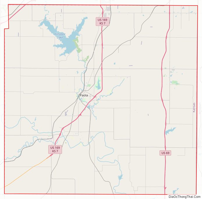
Miami County Road Map
Geography
According to the U.S. Census Bureau, the county has a total area of 590 square miles (1,500 km), of which 576 square miles (1,490 km) is land and 15 square miles (39 km) (2.5%) is water.
Lakes
- Hillsdale Lake – The largest lake in Miami County, this lake is also diverse in what it offers. Among the activities at Hillsdale are camping, fishing, swimming, boating, hunting, and hiking. Horseback riding is also largely available, with 32 miles (51 km) of marked trails on the lake’s east side. Model airplane flying also has its own special designated area.
- Louisburg Middle Creek Lake – It is located 7 miles south of Louisburg, Kansas on Metcalf road. It is a prime source of water for the city of Louisburg. In addition the lake offers superb fishing and camping. Fishing boats are allowed on the lake but swimming and water sports are prohibited. The lake is managed by the Kansas Department of Wildlife and Parks. Species stocked in the lake include Bluegill, Channel, Flathead, Large and Smallmouth Bass, Crappie, Saugeye, Walleye, White Bass and Sunfish. The Lake and camp sites are open to the public at no charge. Great place to get away.
Other lakes in Miami County, each with specific restrictions and activities to offer, include:
- Miola Lake
- Miami County State Lake
- Osawatomie Lake
- Paola Lake
- Hunters Lake
- Wagstaff Lake
Adjacent counties
- Johnson County (north)
- Cass County, Missouri (east)
- Bates County, Missouri (southeast)
- Linn County (south)
- Anderson County (southwest)
- Franklin County (west)
- Douglas County (northwest)
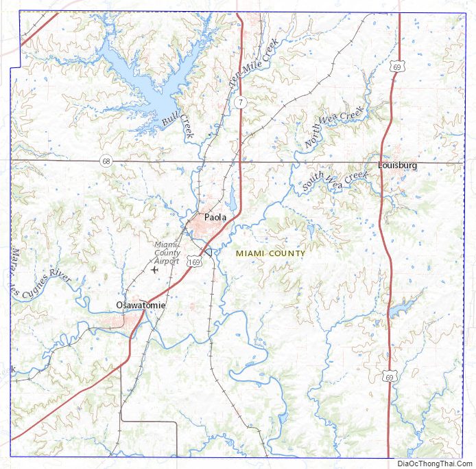
Miami County Topographic Map
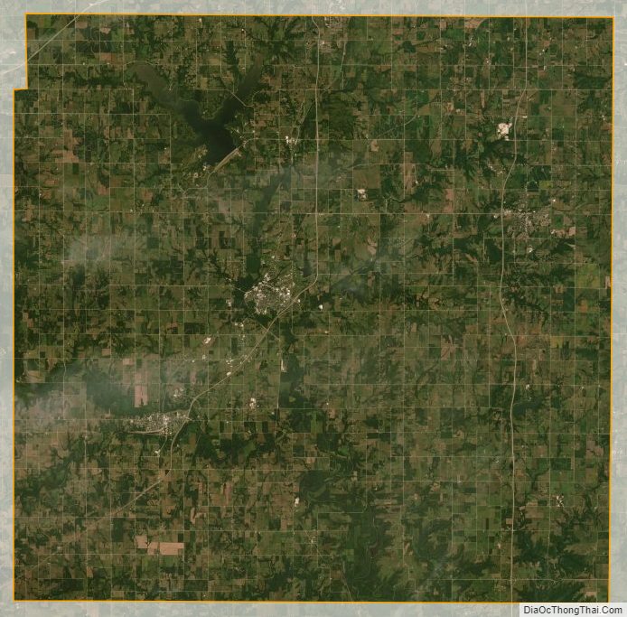
Miami County Satellite Map
Miami County Outline Map