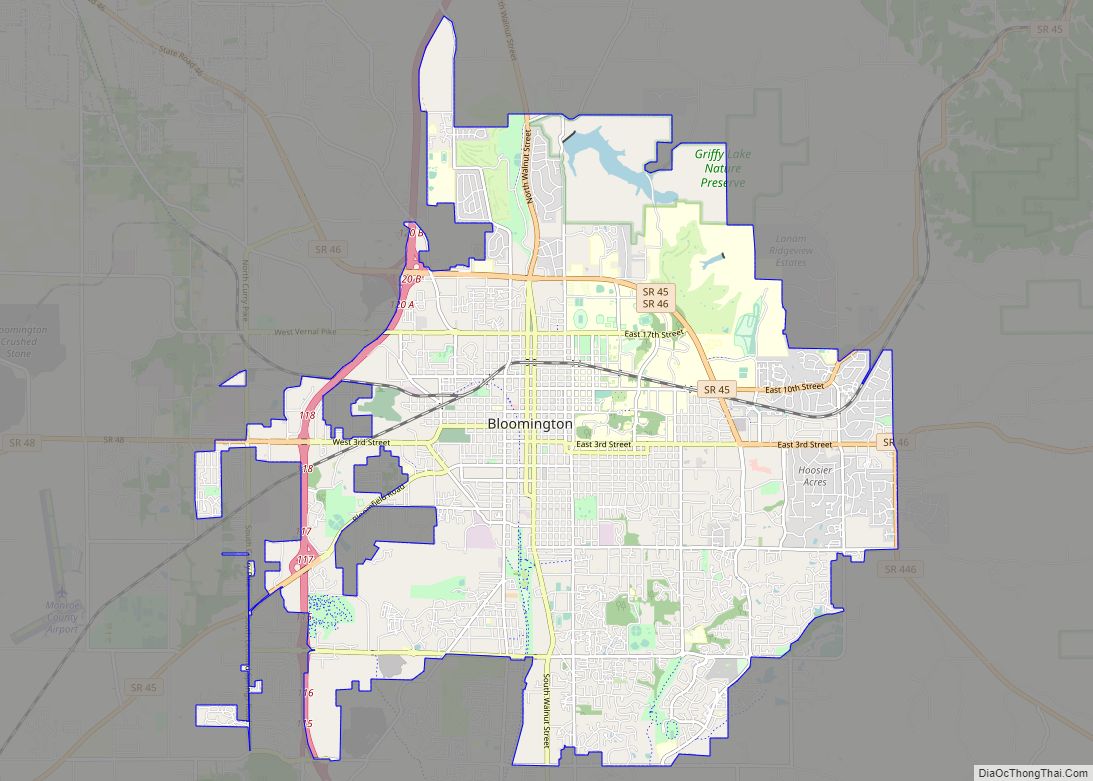
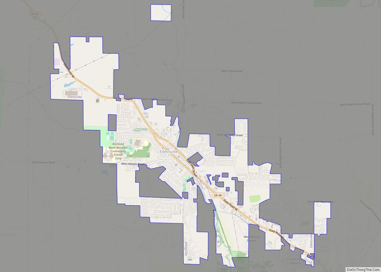
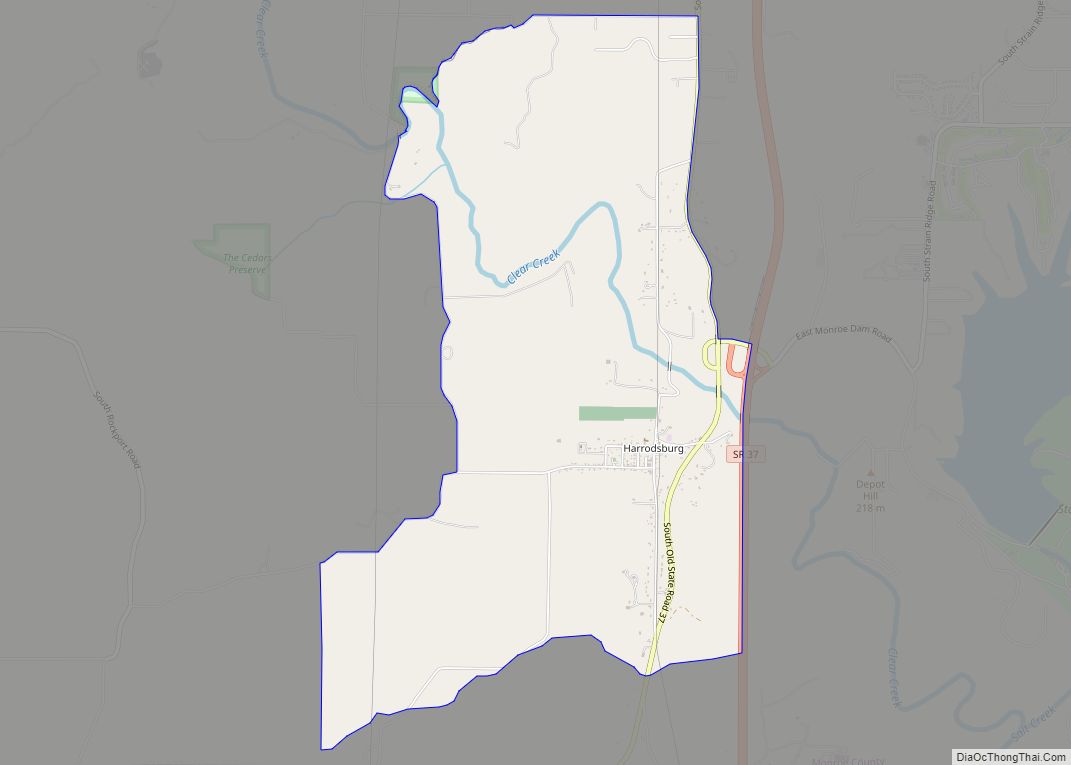
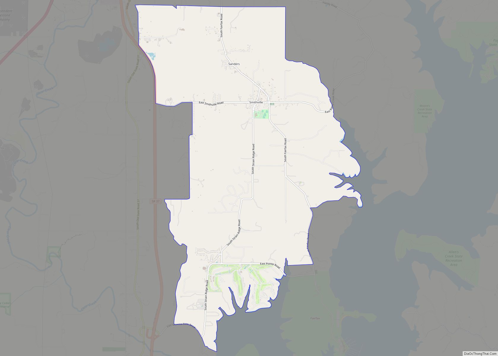
Monroe County is a county in the U.S. state of Indiana. In 1910 the US Census Bureau calculated the nation’s mean population center to lie in Monroe County. The population was 137,974 at the 2010 United States Census. The county seat is Bloomington. Monroe County is part of the Bloomington, Indiana, Metropolitan Statistical Area.
| Name: | Monroe County |
|---|---|
| FIPS code: | 18-105 |
| State: | Indiana |
| Founded: | 14 January 1818 |
| Named for: | James Monroe |
| Seat: | Bloomington |
| Largest city: | Bloomington |
| Total Area: | 411.32 sq mi (1,065.3 km²) |
| Land Area: | 394.51 sq mi (1,021.8 km²) |
| Population Density: | 372.4/sq mi (143.8/km²) |
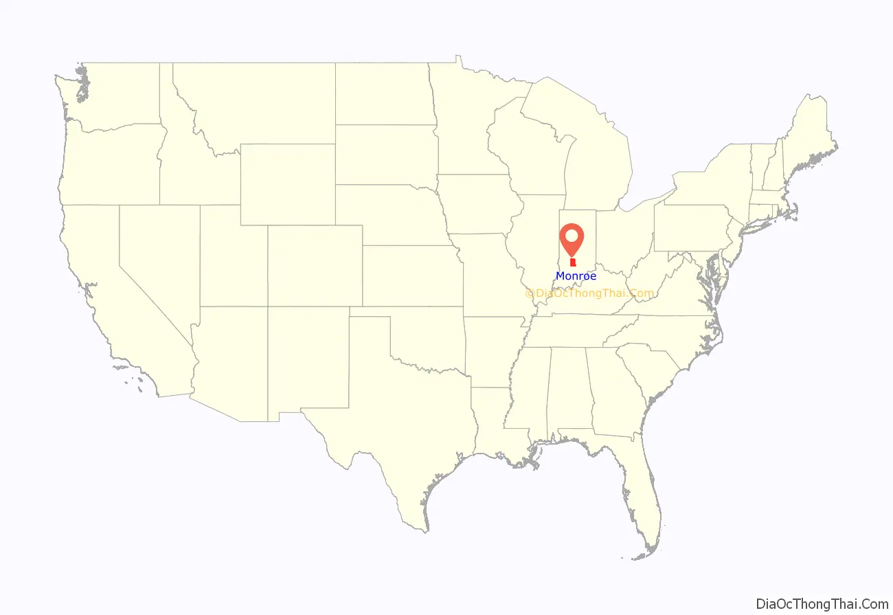
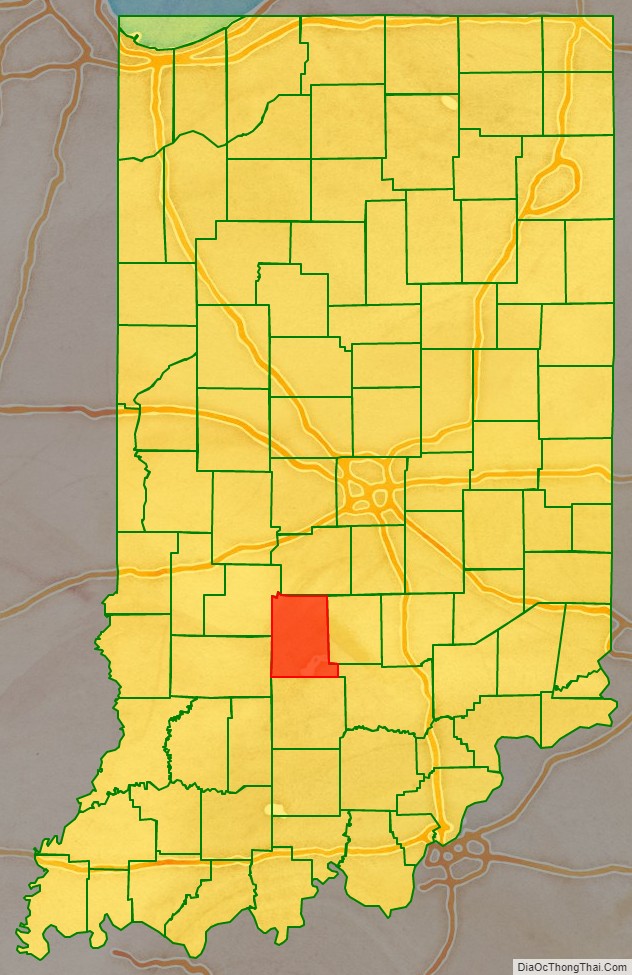
Monroe County location map. Where is Monroe County?
History
Monroe County was formed in 1818 from portions of Orange County. It was named for James Monroe, fifth President of the United States, who was in that office from 1817 until 1825.
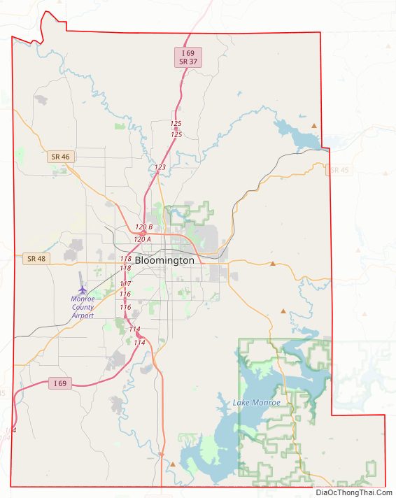
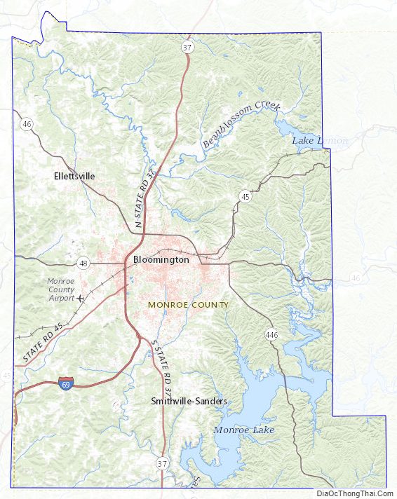
Monroe County Road Map
Geography
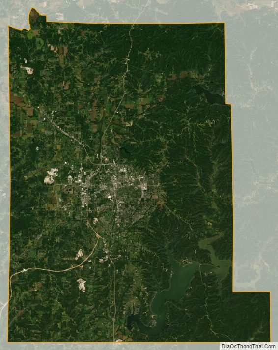
According to the 2010 census, the county has a total area of 411.32 square miles (1,065.3 km), of which 394.51 square miles (1,021.8 km) (or 95.91%) is land and 16.81 square miles (43.5 km) (or 4.09%) is water. The county terrain is low rolling hills, covered with vegetation and largely devoted to agricultural use or urban development. The eastern part is carved with drainages and gullies, leading to Griffy Lake. The county’s highest point is McGuire Benchmark, just NW of Bloomington, at 994′ (303m) ASL.
Adjacent counties
- Morgan (north)
- Brown (northeast)
- Jackson (southeast)
- Lawrence (south)
- Greene (southwest)
- Owen (northwest)
Bodies of water
Monroe County is divided between the basins of the East Fork and West Fork of Indiana’s White River. The northern part drains to the West Fork; the southern part of the county drains to the East Fork, primarily via the Salt Creek and its tributaries, such as the Clear Creek (known as the “Jordan River” on Indiana University Bloomington campus).
Several artificial reservoirs have been constructed by damming the county’s creeks. The largest is Monroe Lake, a large reservoir on Salt Creek in the southeastern part of the county. It is used both for recreational purposes and to supply the city with drinking water. Until the late 1960s, the main source of water supply was the smaller Lake Lemon (constructed 1953), in the northeastern part of the county; it is now the backup water source and is mainly used for recreation.
The third largest is Griffy Lake, on the northern slope of the county. Constructed in 1924 by damming Griffy Creek, it was Bloomington’s main water source until 1954; it is now used primarily for recreation although it also serves as an emergency water source. In 2012–2013, the lake was drained, the dam repaired, and the lake was refilled.
A smaller lake, Weimer (Wapehani) in the Clear Creek basin, was constructed for water supply purposes, but during most of its history was used purely for recreation – mainly fishing. In 2017 authorities revealed plans to drain this lake permanently, as it was considered to be unsafe. This was carried out in the summer of 2018.
Limestone has been quarried in Monroe County since 1826. A number of abandoned limestone quarries in the county are now cliff-surrounded lakes (as seen in the 1979 film Breaking Away), stable without ongoing human intervention.
National protected areas
- Hoosier National Forest (part)
Natural wonders
- Buckner Cave
- Leonard Springs Nature Park, where the water of Sinking Creek reappears in springs
Monroe County Topographic Map
Monroe County Satellite Map
Monroe County Outline Map