Pike County is a county in the southwest portion of the U.S. state of Indiana. As of the 2010 United States census, the population was 12,845. The county seat is Petersburg. It contains the geographic point representing median center of US population in 2010.
Pike County is part of the Jasper Micropolitan Statistical Area.
| Name: | Pike County |
|---|---|
| FIPS code: | 18-125 |
| State: | Indiana |
| Founded: | 21 December 1816 |
| Named for: | Zebulon Pike |
| Seat: | Petersburg |
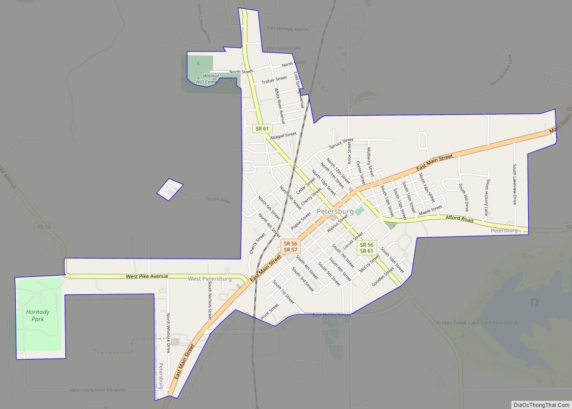
| Largest city: | Petersburg |
| Total Area: | 341.09 sq mi (883.4 km²) |
| Land Area: | 334.24 sq mi (865.7 km²) |
| Population Density: | 38.4/sq mi (14.8/km²) |
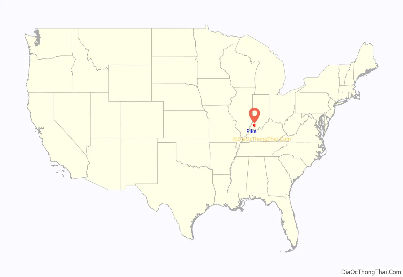
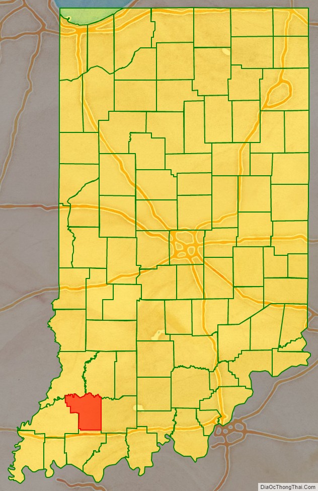
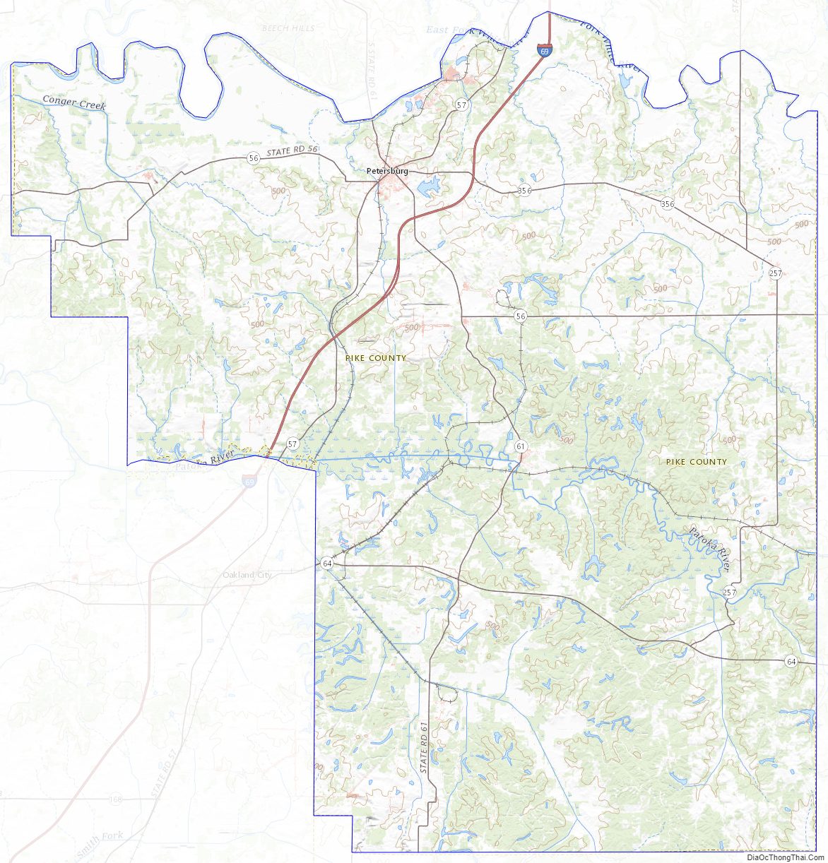
Pike County location map. Where is Pike County?
History
In 1787, the fledgling United States defined the Northwest Territory, which included the area of present-day Indiana. In 1800, Congress separated Ohio from the Northwest Territory, designating the rest of the land as the Indiana Territory. President Thomas Jefferson chose William Henry Harrison as the territory’s first governor, and Vincennes was established as the territorial capital. After the Michigan Territory was separated and the Illinois Territory was formed, Indiana was reduced to its current size and geography. On 11 December 1816, the Indiana Territory was admitted to the Union as a state.
Starting in 1794, Native American titles to Indiana lands were extinguished by usurpation, purchase, or war and treaty. The United States acquired land from the Native Americans in the Vincennes Tract, in the 1804 Treaty of Vincennes, and in the 1809 treaty of Fort Wayne . These various dealings resolved the occupation issue for the future Pike County. Whites had been settling in the future county’s terrain since 1800 (the first was Woolsey Pride, at White Oak Springs).
The area of present-day Pike County was first placed under local jurisdiction in 1790, when Knox County was created. This all-encompassing county was repeatedly subdivided as its lands were occupied − on 1 April 1813 the County of Gibson was authorized from the SW portion of Knox County, and four weeks later another portion of Knox was partitioned to create Warrick County. On 1 November 1814, portions of Warrick and Gibson were partitioned to create Perry County. Two years later, the northern portions of Gibson and Perry were sufficiently populated to warrant a separate governing structure, so on 21 December 1816 − ten days after being admitted to the Federal Union as a state − the Indiana state legislature authorized the creation of Pike County, taking areas from Gibson, Knox, and Perry counties. The first commissioners filed a report dated 15 February 1817, naming Petersburg as the seat of government; the city was laid out and platted that same year. The city was named for Peter Brenton, an original owner of the town site. A post office was put into service at Petersburg in 1823.
Pike County was named for Zebulon Pike, famous for his Pike Expedition of 1806–1807, exploring the southwest portion of the Louisiana Purchase. Pike commanded the 4th Infantry Regiment at the Battle of Tippecanoe in 1811. He was killed as a brigadier general during the War of 1812 after his men had captured York (now Toronto), Canada.
The first courthouse in Pike County was a two-story log building, laid on the east side of the Petersburg public square in 1817. It remained in use until replaced by a two-story brick building in 1834. The third courthouse was a larger two-story structure, built in 1868; the present building was erected in 1922.
From 1959 to 1963 Vance Hartke and Homer E. Capehart were the U.S. senators for Indiana, both from Pike County.
In 2015, northern Pike County’s economy received a boost from the completion of Interstate 69.
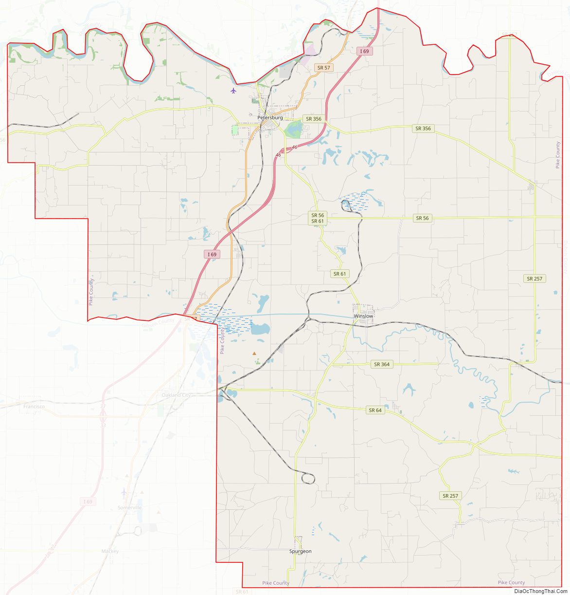
Pike County Road Map
Geography
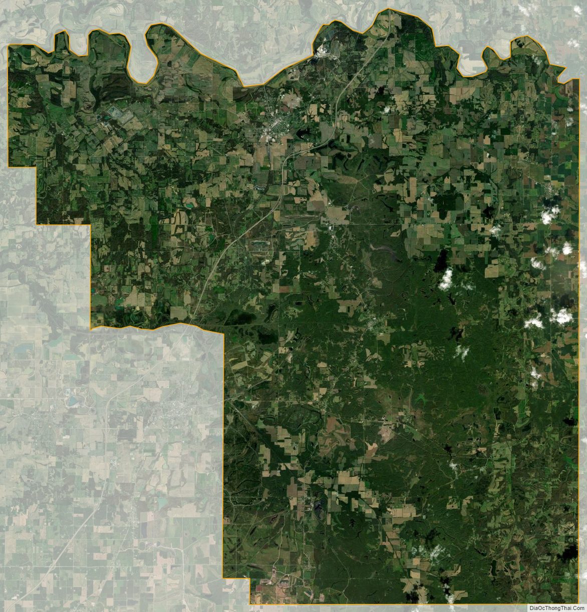
The low hills of Pike County have been cleared, leveled, and put to agricultural use, although its many drainages are still wooded. The highest point on the terrain (650 feet/200 meters ASL) is the sharp crest of a ridge 2.9 miles (4.7 km) NE of Stendal. Like many counties along or near the Ohio River, large portions of Pike County had been strip mined. Most of these areas have been restored, but many remain.
The county’s northern boundary is defined by the westward-flowing White River. The Patoka River also flows westward through the lower central part of the county, and forms a portion of the county’s west boundary line with Gibson County.
According to the 2010 census, the county has a total area of 341.09 square miles (883.4 km), of which 334.24 square miles (865.7 km) (or 97.99%) is land and 6.86 square miles (17.8 km) (or 2.01%) is water.
Adjacent counties
- Daviess County − northeast
- Dubois County − east
- Warrick County − south/CT Border
- Gibson County − west/CT Border
- Knox County − northwest
Major highways
- Interstate 69
- SR 56
- SR 57
- SR 61
- SR 64
- SR 65
- SR 257
- SR 356
- SR 364
Protected areas
- Columbia Mine Preserve (part)
- Interlake State Recreation Area (part)
- Patoka River National Wildlife Refuge and Management Area (part)
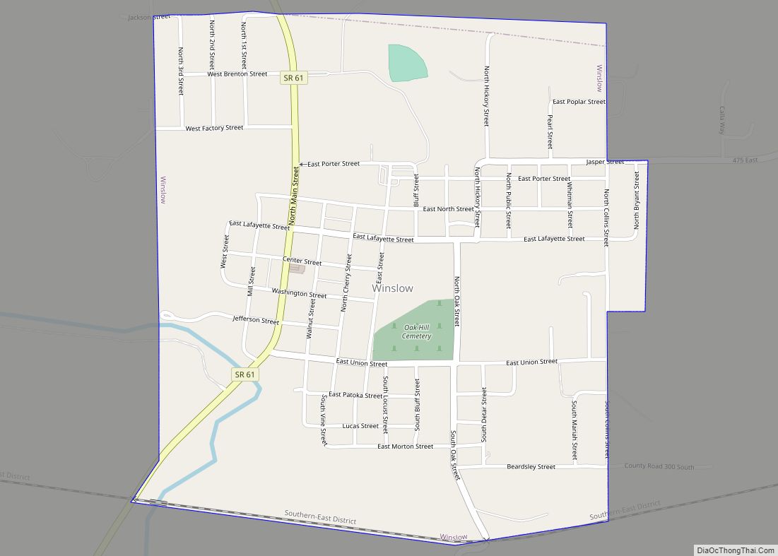
City
Towns
Census-designated place
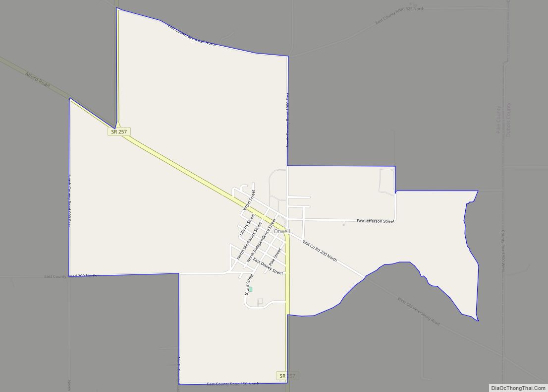
- Otwell (named Pierceville 1855−1864)
Unincorporated places
- Alford
- Algiers
- Arda
- Arthur Junction
- Ashby Yards
- Augusta
- Ayrshire
- Bowman
- Campbelltown
- Cato
- Chandler
- Coats Spring
- Coe
- Enos Corner
- Fritz Corner
- Glezen
- Hartwell
- Highbank Town
- Iva
- Littles
- Marysville
- Muren
- Oatsville
- Pikeville
- Rogers
- Rumble
- Scottsburg
- Stendal
- Survant
- Union
- Velpen
- West Petersburg
- White Sulphur Springs
- Whiteoak
- Willisville
- Zoar
Townships
- Clay
- Jefferson
- Lockhart
- Logan
- Madison
- Marion
- Monroe
- Patoka
- Washington
Pike County Topographic Map
Pike County Satellite Map
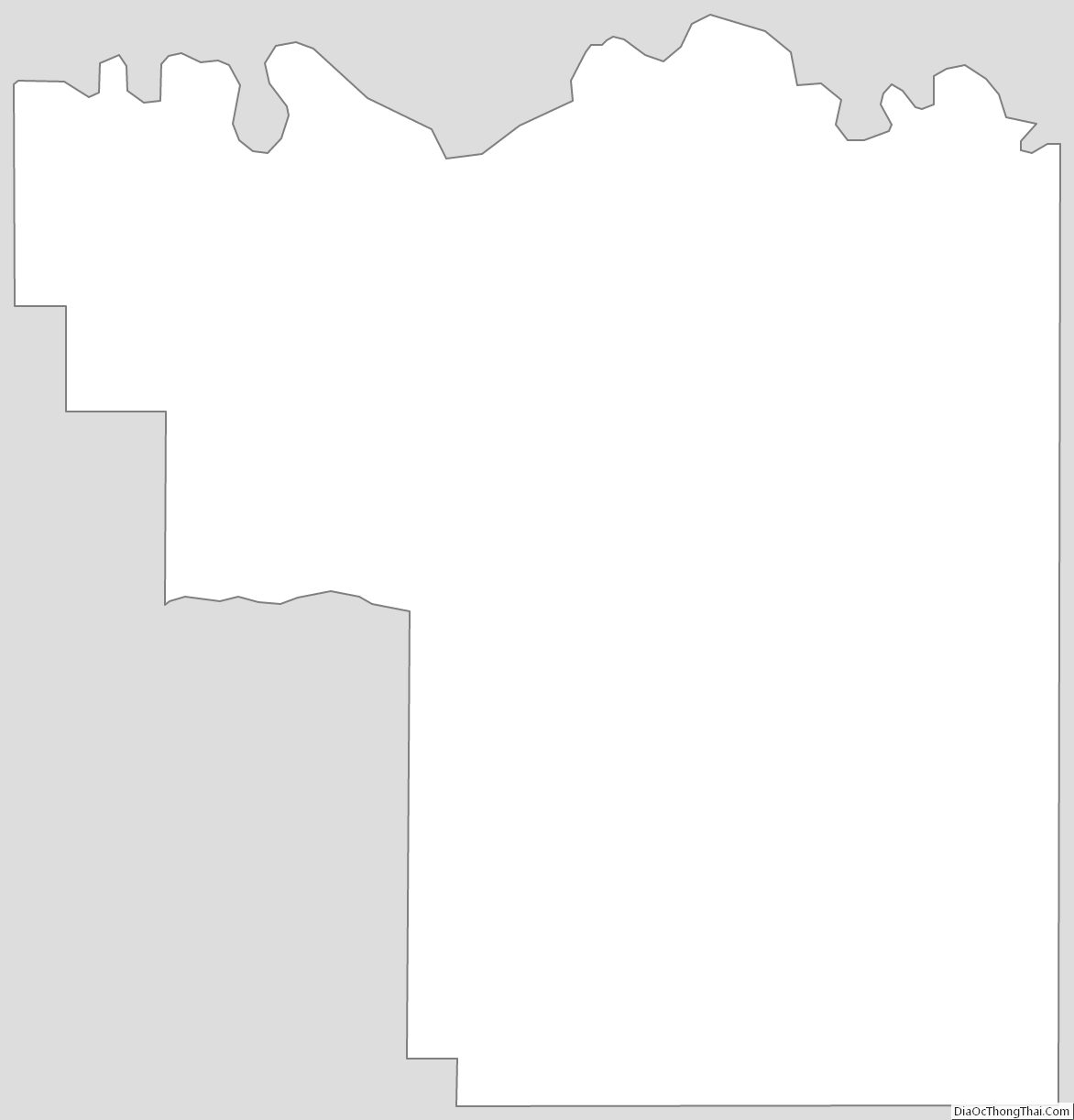
Pike County Outline Map