Dubois County (/duːˈbɔɪz/ doo-BOYZ) is a county located in the U.S. state of Indiana. As of 2020, the population was 43,637. The county seat is Jasper. Dubois County is part of the Jasper Micropolitan Statistical Area.
| Name: | Dubois County |
|---|---|
| FIPS code: | 18-037 |
| State: | Indiana |
| Founded: | December 20, 1818 |
| Named for: | Toussaint Dubois |
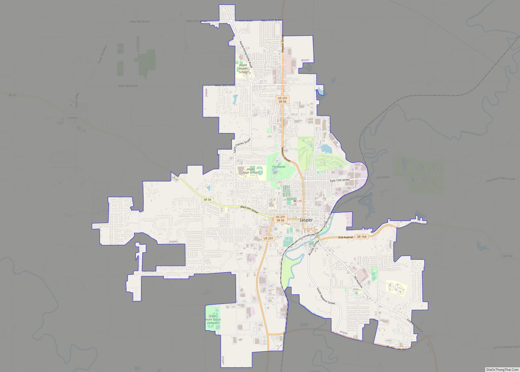
| Seat: | Jasper |
| Largest city: | Jasper |
| Total Area: | 435.33 sq mi (1,127.5 km²) |
| Land Area: | 427.27 sq mi (1,106.6 km²) |
| Total Population: | 43,637 |
| Population Density: | 97.4/sq mi (37.6/km²) |
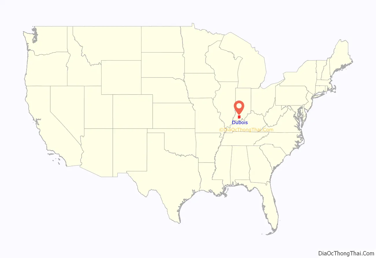
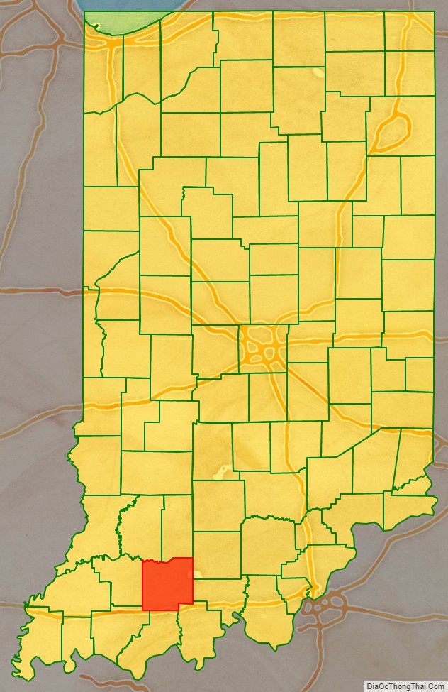
Dubois County location map. Where is Dubois County?
History
Dubois County was formed on December 20, 1818, from Orange, Pike and Perry counties. It is named for Toussaint Dubois, a Frenchman who fought in the American Revolutionary War, the Battle of Tippecanoe and the War of 1812. Dubois was a merchant who lived mainly in Vincennes. He drowned in 1816 while crossing the Little Wabash River near Lawrenceville, Illinois.
In 1818, as many as half of the residents of the county died of milk sickness. The plant contains the potent toxin temetrol, which is passed through the milk. The migrants from the East were unfamiliar with the Midwestern plant and its effects.
Dubois County switched to the Central Time Zone on April 2, 2006, and returned to the Eastern Time Zone on November 4, 2007; both changes were controversial as Huntingburg wished to remain on Central Time while Jasper never wanted to leave Eastern Time.
The original county seat was Portersville. In 1830, the county seat was moved south to Jasper.
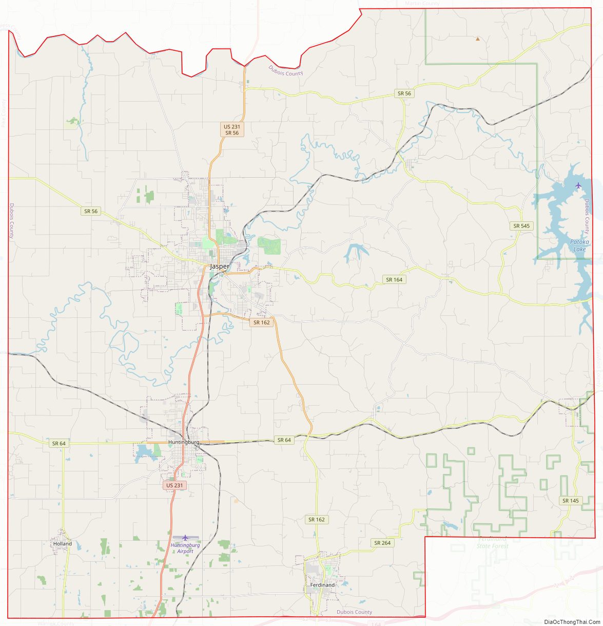
Dubois County Road Map
Geography
According to the 2010 census, the county has a total area of 435.33 square miles (1,127.5 km), of which 427.27 square miles (1,106.6 km) (or 98.15%) is land and 8.06 square miles (20.9 km) (or 1.85%) is water.
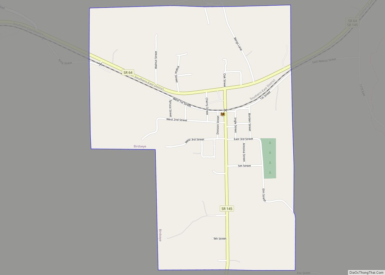
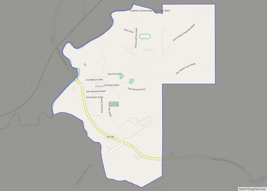
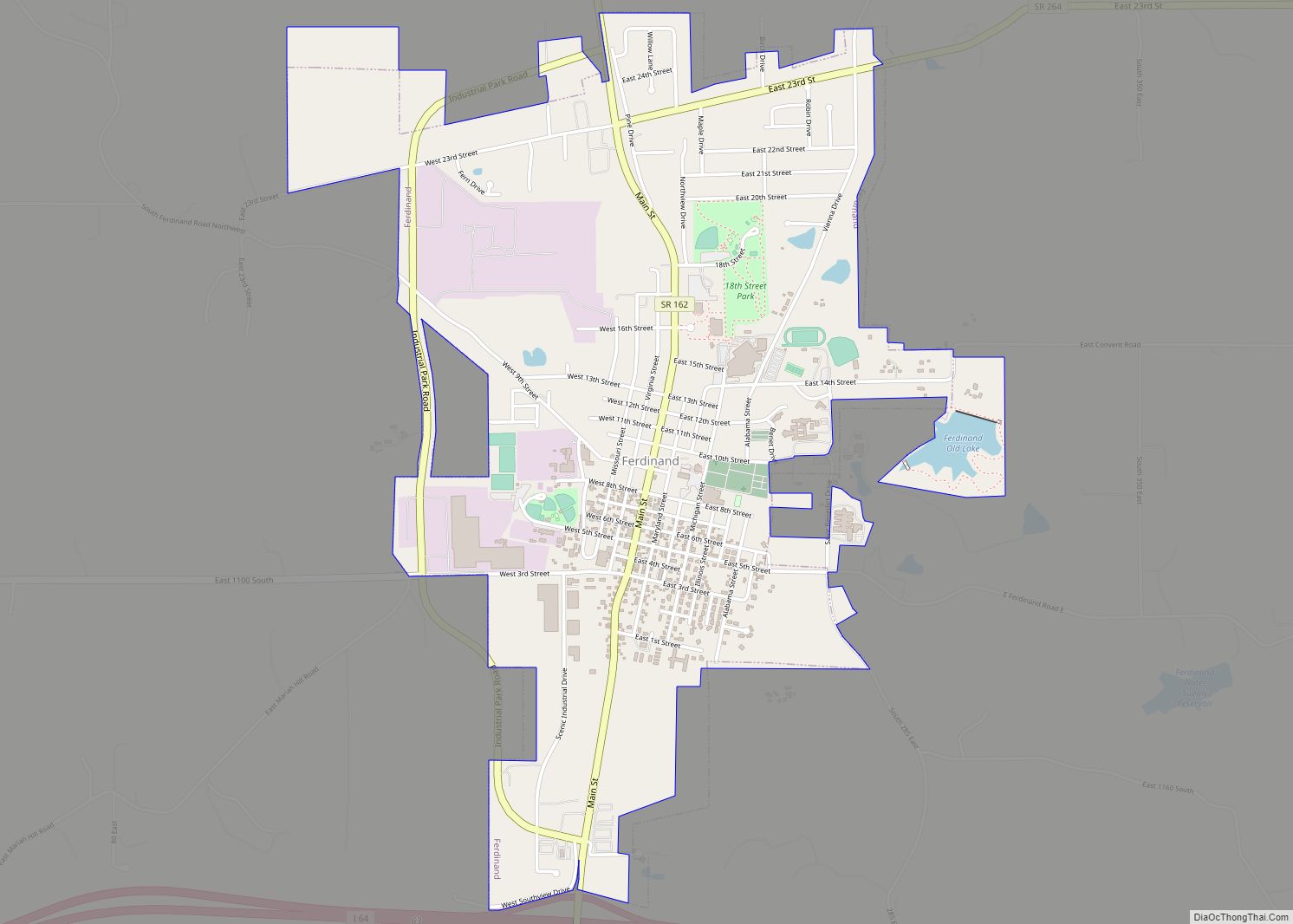
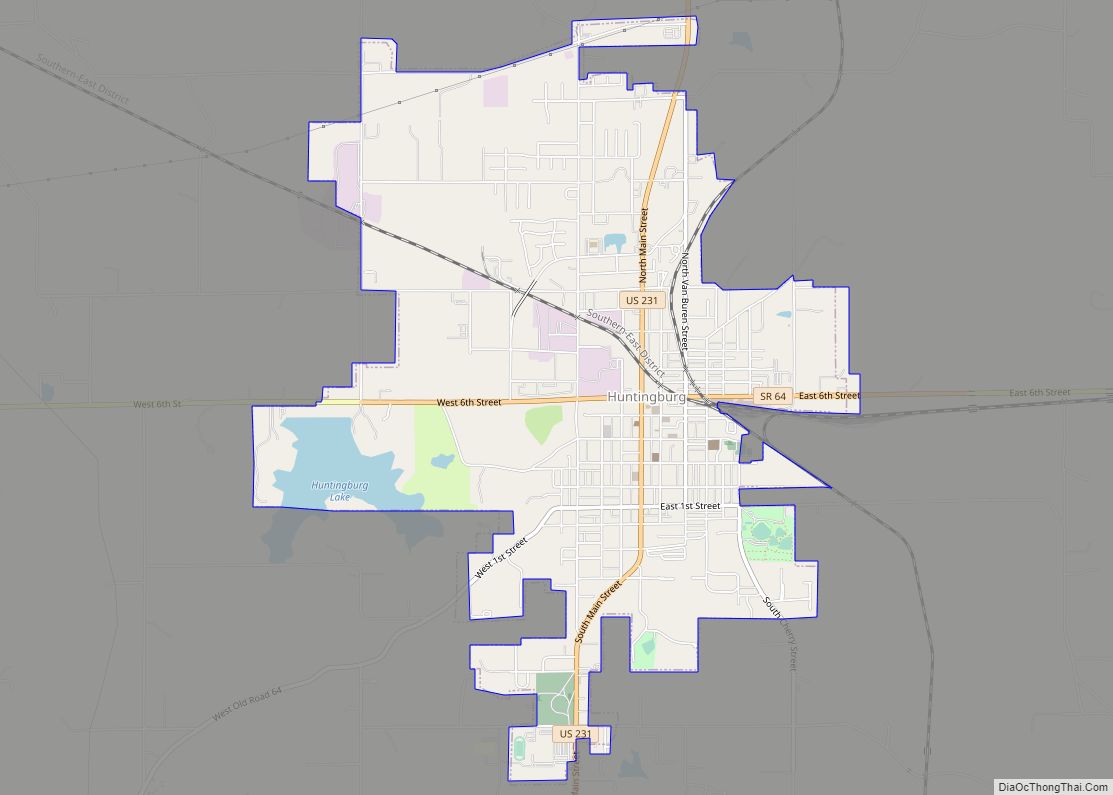
Cities
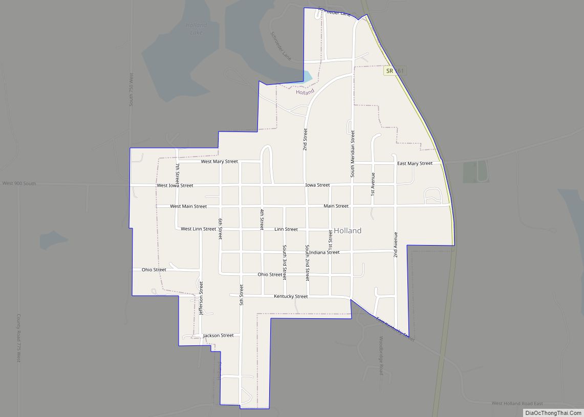
Towns
Census-designated places
Other unincorporated places
- Ireland
- Bretzville
- Celestine
- Crystal
- Cuzco
- Duff
- Ellsworth
- Haysville
- Hillham
- Johnsburg
- Kellerville
- Kyana
- Maltersville
- Mentor
- Millersport
- Portersville
- Schnellville
- Saint Anthony
- Saint Henry
- Saint Marks
- Thales
- Zoar
Townships
- Bainbridge
- Boone
- Cass
- Columbia
- Ferdinand
- Hall
- Harbison
- Jackson
- Jefferson
- Madison
- Marion
- Patoka
Adjacent counties
- Martin County (north)
- Orange County (northeast)
- Crawford County (east)
- Perry County (southeast/CT Border)
- Spencer County (south/CT Border)
- Warrick County (southwest/CT Border)
- Pike County (west)
- Daviess County (northwest)
Climate and weather
In recent years, average temperatures in Jasper have ranged from a low of 20 °F (−7 °C) in January to a high of 86 °F (30 °C) in July, although a record low of −25 °F (−32 °C) was recorded in January 1994 and a record high of 104 °F (40 °C) was recorded in July 1966. Average monthly precipitation ranged from 2.81 inches (71 mm) in February to 5.29 inches (134 mm) in May.
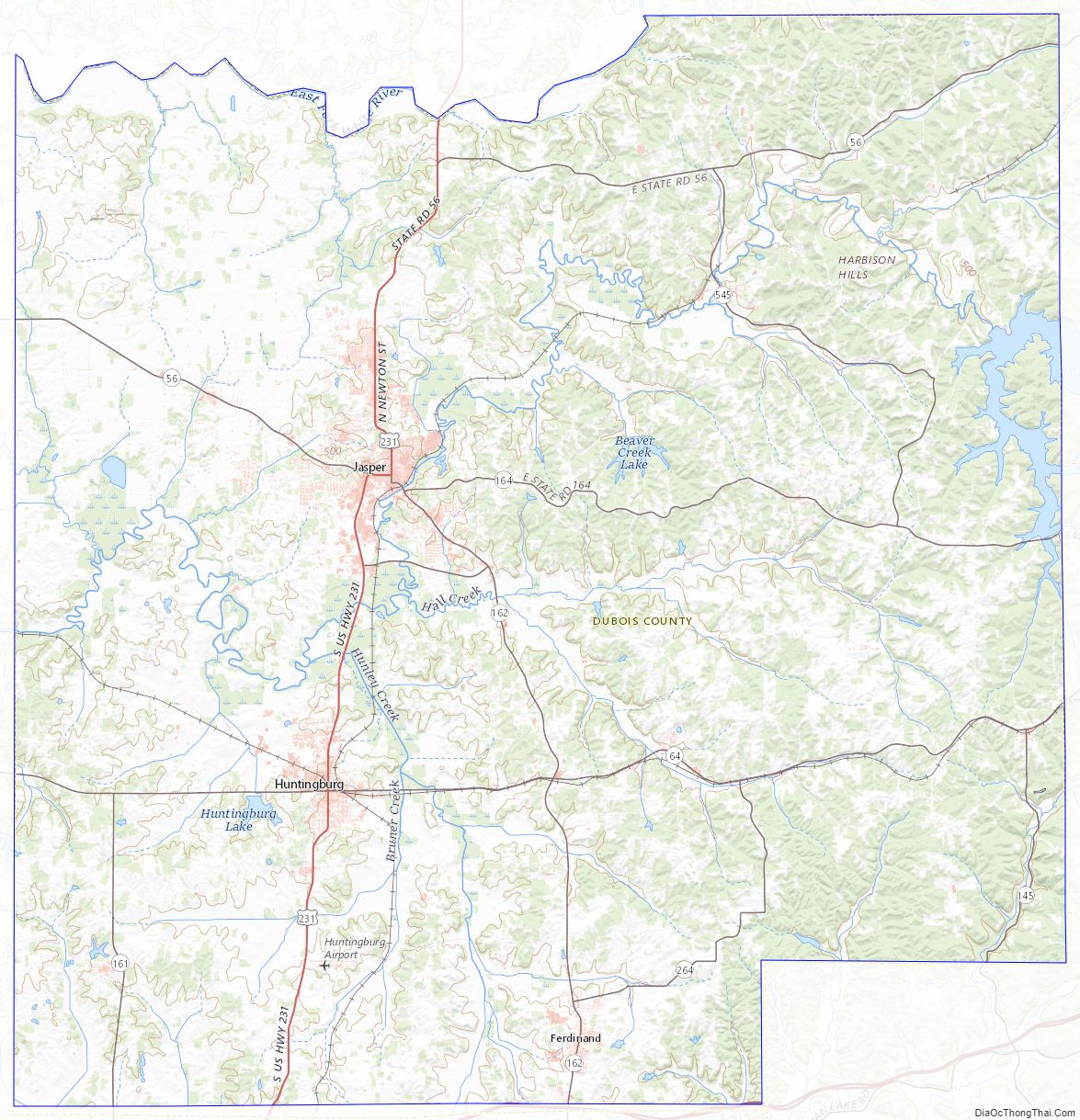
Dubois County Topographic Map
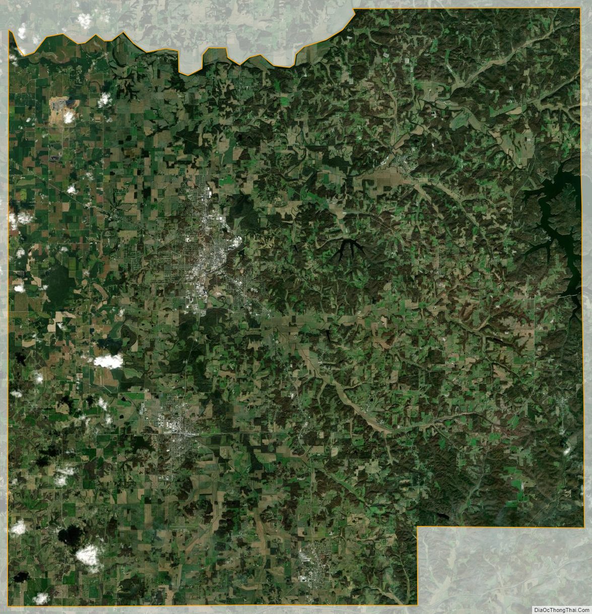
Dubois County Satellite Map
Dubois County Outline Map