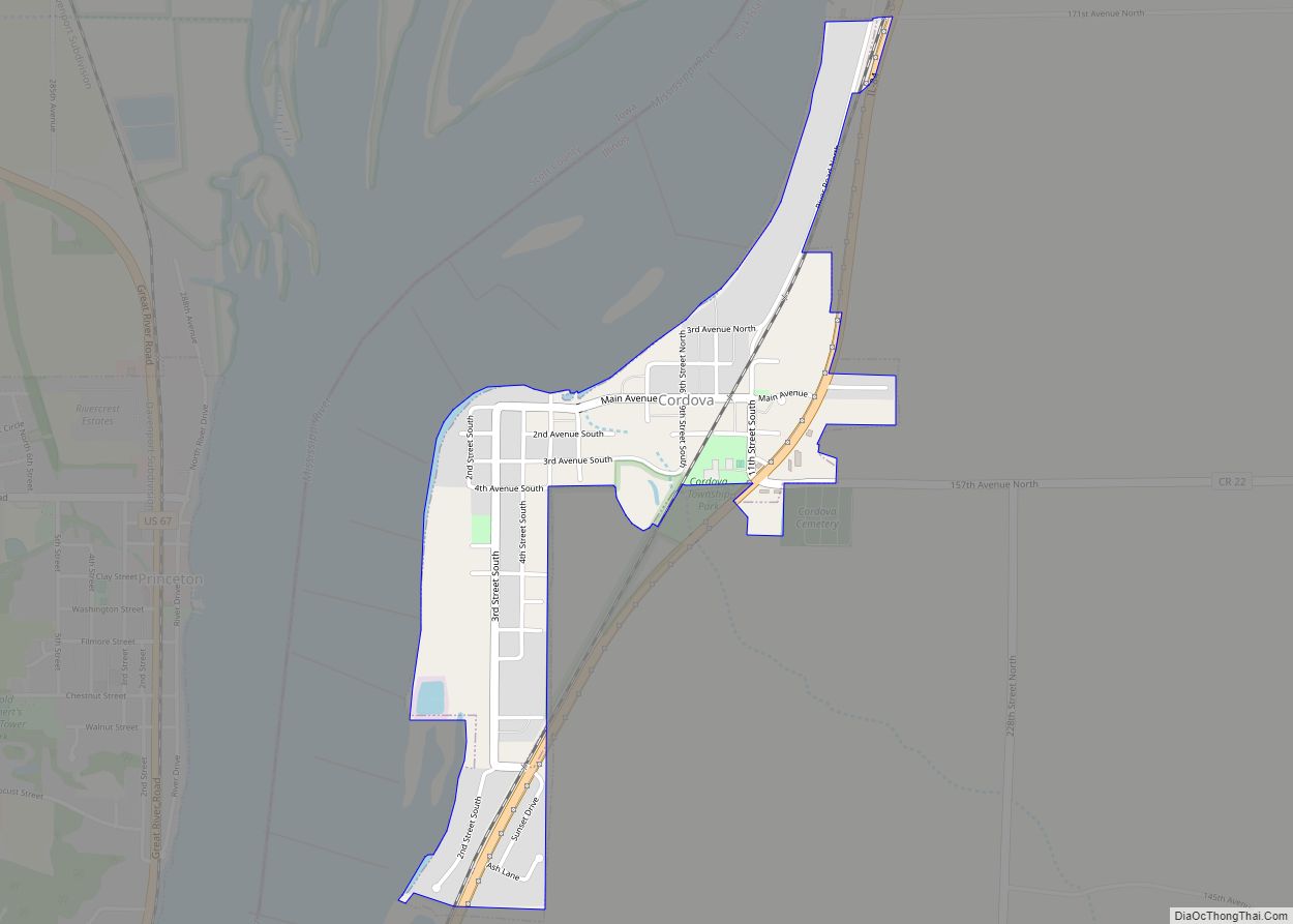
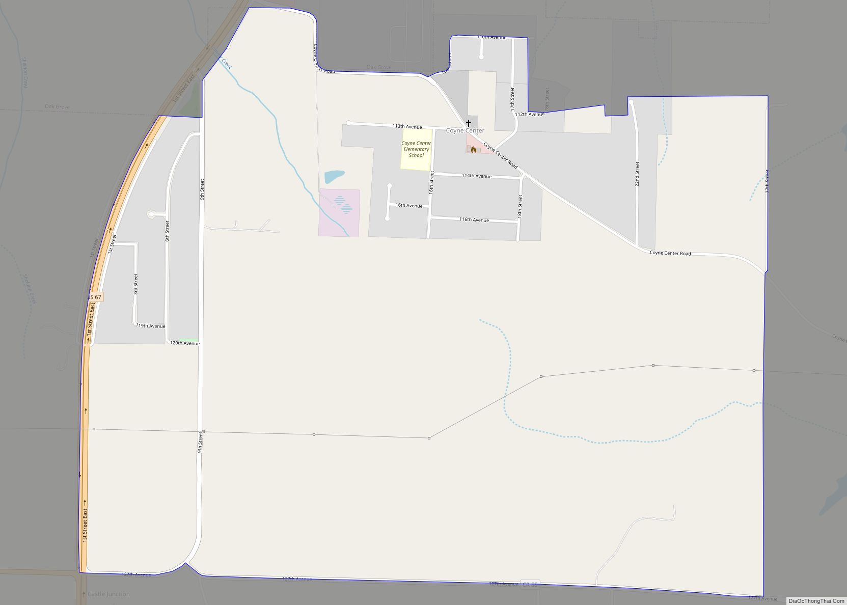
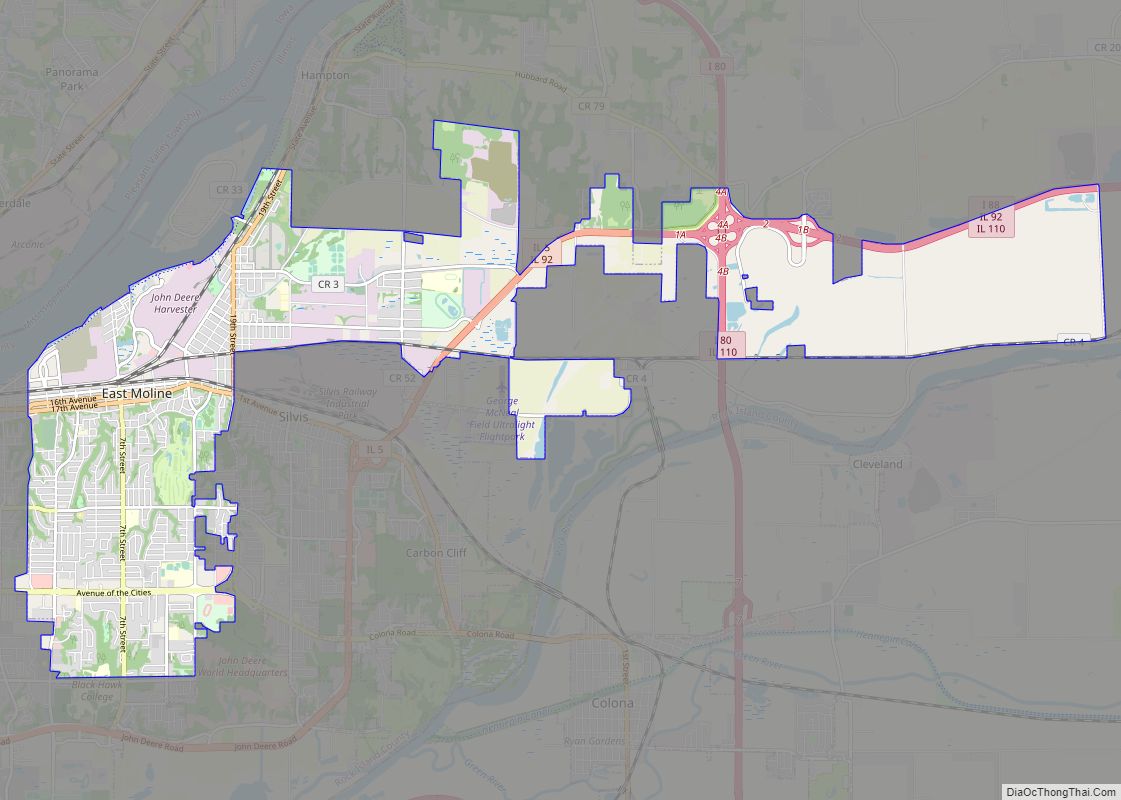
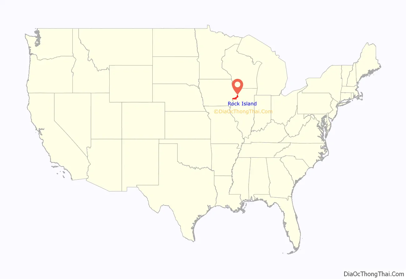
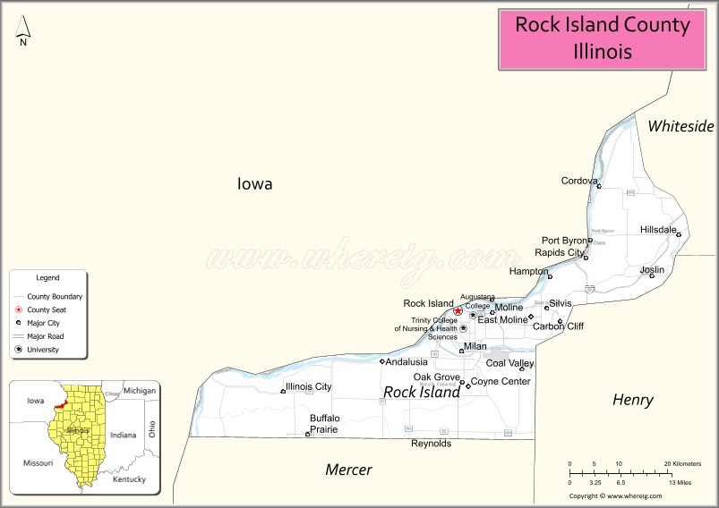
Rock Island County is a county located in the U.S. state of Illinois, bounded on the west by the Mississippi River. According to the 2010 census, it had a population of 147,546. Its county seat is Rock Island; its largest city is neighboring Moline. Rock Island County is one of the four counties that make up the Davenport–Moline-Rock Island, IA-IL Metropolitan Statistical Area.
| Name: | Rock Island County |
|---|---|
| FIPS code: | 17-161 |
| State: | Illinois |
| Founded: | 1831 |
| Named for: | Rock (Arsenal) Island |
| Seat: | Rock Island |
| Largest city: | Moline |
| Total Area: | 451 sq mi (1,170 km²) |
| Land Area: | 428 sq mi (1,110 km²) |
| Total Population: | 147,546 |
| Population Density: | 330/sq mi (130/km²) |
| Time zone: | UTC−6 (Central) |
| Summer Time Zone (DST): | UTC−5 (CDT) |
| Website: | rockislandcountyil.gov |
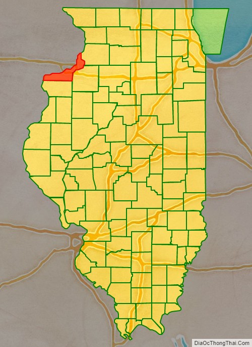
Rock Island County location map. Where is Rock Island County?
History
Rock Island County was formed in 1831 out of Jo Daviess County. It was named for Rock Island, an island in the Mississippi River now known as Arsenal Island. The Rock River (which the Sauk and Fox Indians called Sinnissippi, meaning “rocky waters”) flows from Whiteside County and points further east and north and joins the Mississippi River at Rock Island. The Sinnissippi Mounds, dating from the Hopewell period and on the National Register of Historic Places are upriver at Sterling in Whiteside County.
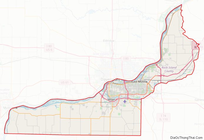
Rock Island County Road Map
Geography
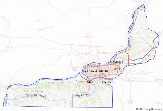
According to the U.S. Census Bureau, the county has a total area of 451 square miles (1,170 km), of which 428 square miles (1,110 km) is land and 24 square miles (62 km) (5.2%) is water.
Climate and weather
In recent years, average temperatures in the county seat of Rock Island have ranged from a low of 13 °F (−11 °C) in January to a high of 85 °F (29 °C) in July, although a record low of −22 °F (−30 °C) was recorded in February 1996 and a record high of 103 °F (39 °C) was recorded in July 2006. Average monthly precipitation ranged from 1.28 inches (33 mm) in January to 4.75 inches (121 mm) in June.
Major highways
- Interstate 74
- Interstate 80
- Interstate 88
- Interstate 280
- U.S. Highway 6
- U.S. Highway 67
- U.S. Highway 150
- Illinois Route 2 (formerly)
- Illinois Route 5
- Illinois Route 84
- Illinois Route 92
- Illinois Route 94
- Illinois Route 110
- Illinois Route 192
Transit
- Quad Cities MetroLINK
- List of intercity bus stops in Illinois
Adjacent counties
- Clinton County, Iowa (north)
- Whiteside County (northeast)
- Henry County (southeast)
- Mercer County (south)
- Louisa County, Iowa (southwest)
- Muscatine County, Iowa (west)
- Scott County, Iowa (northwest)
National protected area
- Upper Mississippi River National Wildlife and Fish Refuge (part)
Rock Island County Topographic Map
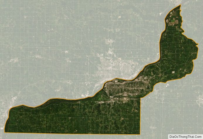
Rock Island County Satellite Map
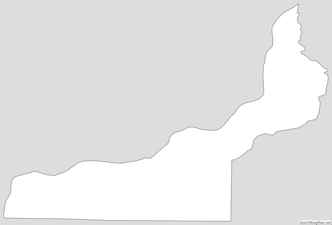
Rock Island County Outline Map