Sterling is a city in Whiteside County, Illinois, United States. The population was 14,782 at the 2020 census, down from 15,370 in 2010. Formerly nicknamed “Hardware Capital of the World”, the city has long been associated with manufacturing and the steel industry.
| Name: | Sterling city |
|---|---|
| LSAD Code: | 25 |
| LSAD Description: | city (suffix) |
| State: | Illinois |
| County: | Whiteside County |
| Total Area: | 6.16 sq mi (15.96 km²) |
| Land Area: | 5.95 sq mi (15.40 km²) |
| Water Area: | 0.22 sq mi (0.57 km²) |
| Total Population: | 14,764 |
| Population Density: | 2,483.01/sq mi (958.75/km²) |
| Area code: | 815 |
| FIPS code: | 1772546 |
Online Interactive Map
Click on ![]() to view map in "full screen" mode.
to view map in "full screen" mode.
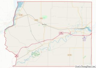
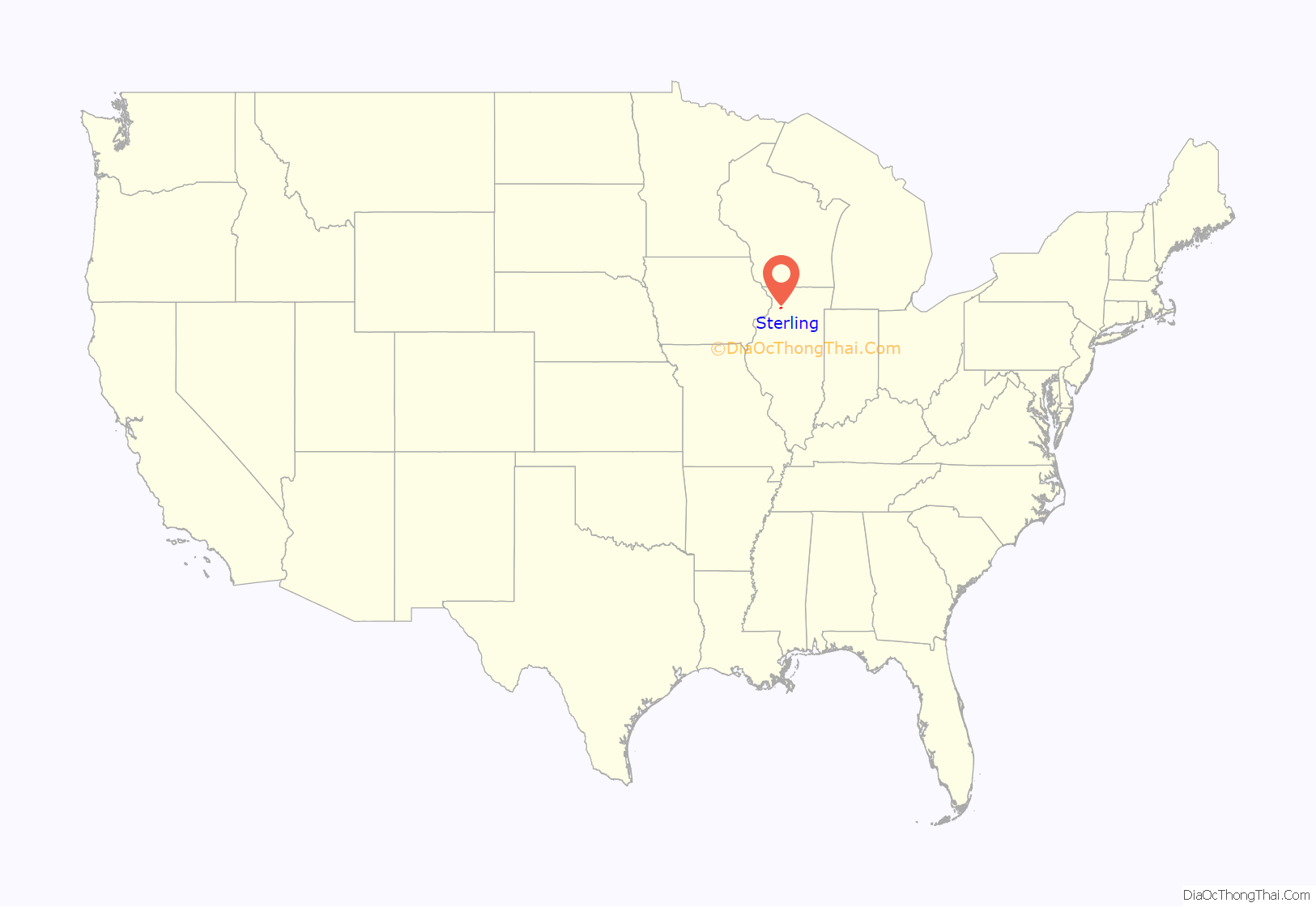
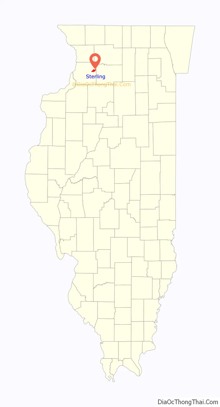
Sterling location map. Where is Sterling city?
History
In 1834, Hezekiah Brink built the first cabin in what was to become Harrisburg. Two years later, William Kirkpatrick settled downstream in an area that became Chatham. In 1838, Harrisburg and Chatham merged to become the Town of Sterling in an effort to become the county seat. The name Sterling was chosen to honor Major James Sterling, who distinguished himself in the area during the Blackhawk War in 1832. On February 16, 1857, Sterling was incorporated as a city by state law.
On July 18, 1856, Abraham Lincoln visited Sterling to speak at a rally for the presidential candidate John C. Fremont. He spent the night at the home of Sheriff William Manahan, which has since been preserved and renovated into the Lincoln-Manahan Home. He gave his speech in Propheter Park, where a statue has been erected in his honor.
The Rock River failed to become a major navigational route as once hoped, but it provided power for the saw and grist mills, and later to a booming industrial base. In 1856, the first rail lines were laid in the area. With the power from the river and the transportation provided by the railroads, Sterling’s business and industry grew. During the late 19th and early 20th century, the community’s industrial bedrock was laid with the founding of Northwestern Steel & Wire Co., Lawrence Brothers Inc, National Manufacturing Co., The Frantz Manufacturing Company, and the Wahl Clipper Corporation.
Sterling has diversified and adapted to the 21st century. Its industrial base has expanded; the city has filled two industrial parks and made development for a third and fourth. Retail sales for the region have expanded as Sterling has emerged as a regional retail hub. Outside the city, the landscape is dominated by agricultural fields that typify most of the Midwest.
The cities of Sterling, Nebraska, and Sterling, Colorado, were both founded by former residents of Sterling, Illinois, as they branched out across the West.
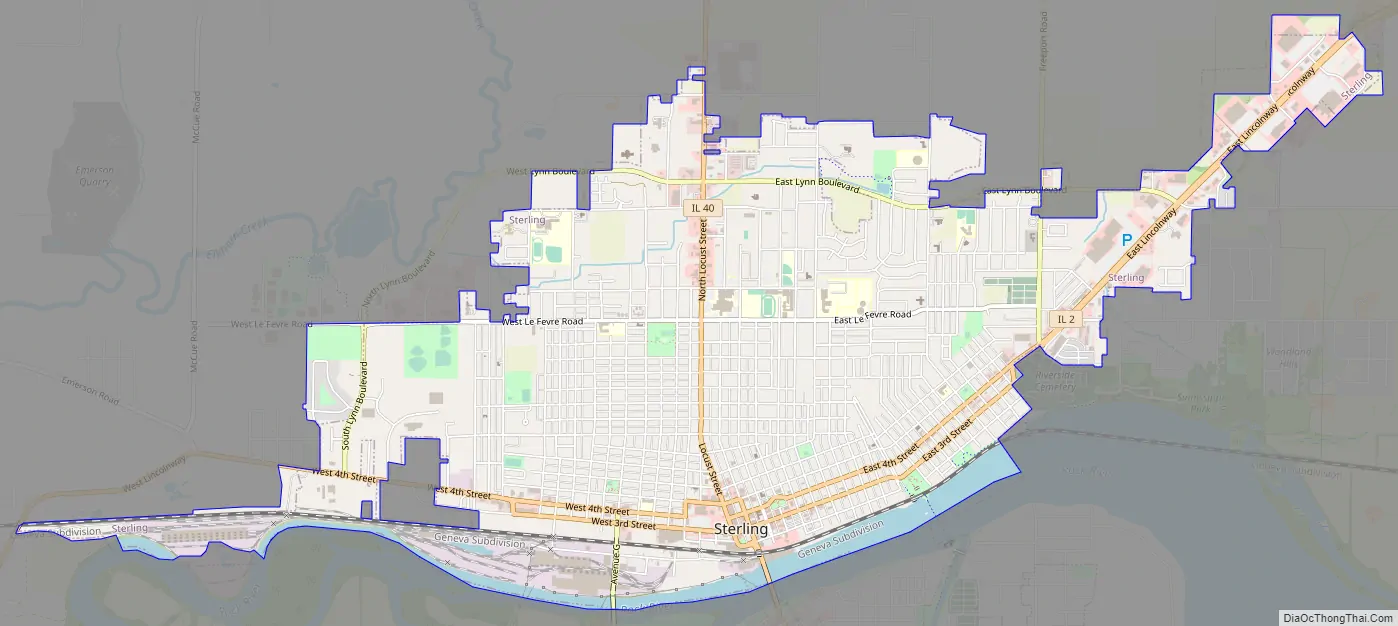
Sterling Road Map
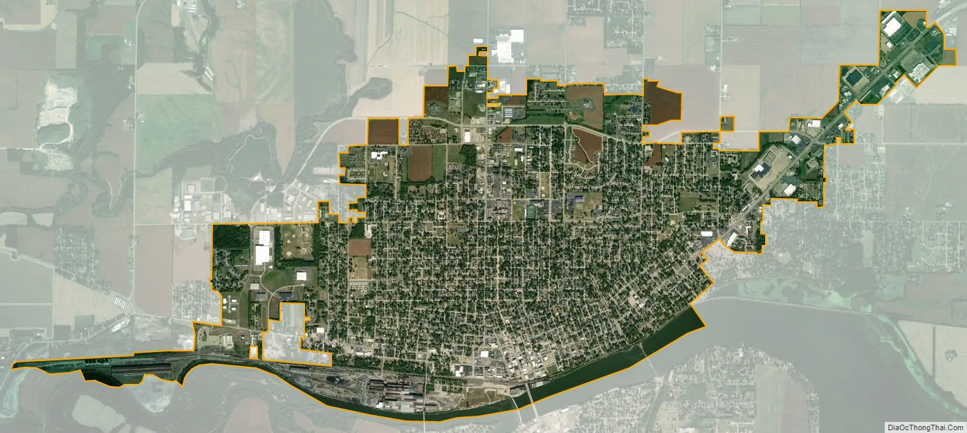
Sterling city Satellite Map
Geography
Sterling lies along the north bank of the Rock River, opposite its twin city, Rock Falls. The terrain is mostly flat. The land immediately outside of town is almost entirely farmland. The prairie soil is part of one of the world’s most fertile growing areas. According to the 2010 census, Sterling has a total area of 5.943 square miles (15.39 km), of which 5.71 square miles (14.79 km) (or 96.08%) is land and 0.233 square miles (0.60 km) (or 3.92%) is water.
See also
Map of Illinois State and its subdivision:- Adams
- Alexander
- Bond
- Boone
- Brown
- Bureau
- Calhoun
- Carroll
- Cass
- Champaign
- Christian
- Clark
- Clay
- Clinton
- Coles
- Cook
- Crawford
- Cumberland
- De Kalb
- De Witt
- Douglas
- Dupage
- Edgar
- Edwards
- Effingham
- Fayette
- Ford
- Franklin
- Fulton
- Gallatin
- Greene
- Grundy
- Hamilton
- Hancock
- Hardin
- Henderson
- Henry
- Iroquois
- Jackson
- Jasper
- Jefferson
- Jersey
- Jo Daviess
- Johnson
- Kane
- Kankakee
- Kendall
- Knox
- La Salle
- Lake
- Lake Michigan
- Lawrence
- Lee
- Livingston
- Logan
- Macon
- Macoupin
- Madison
- Marion
- Marshall
- Mason
- Massac
- McDonough
- McHenry
- McLean
- Menard
- Mercer
- Monroe
- Montgomery
- Morgan
- Moultrie
- Ogle
- Peoria
- Perry
- Piatt
- Pike
- Pope
- Pulaski
- Putnam
- Randolph
- Richland
- Rock Island
- Saint Clair
- Saline
- Sangamon
- Schuyler
- Scott
- Shelby
- Stark
- Stephenson
- Tazewell
- Union
- Vermilion
- Wabash
- Warren
- Washington
- Wayne
- White
- Whiteside
- Will
- Williamson
- Winnebago
- Woodford
- Alabama
- Alaska
- Arizona
- Arkansas
- California
- Colorado
- Connecticut
- Delaware
- District of Columbia
- Florida
- Georgia
- Hawaii
- Idaho
- Illinois
- Indiana
- Iowa
- Kansas
- Kentucky
- Louisiana
- Maine
- Maryland
- Massachusetts
- Michigan
- Minnesota
- Mississippi
- Missouri
- Montana
- Nebraska
- Nevada
- New Hampshire
- New Jersey
- New Mexico
- New York
- North Carolina
- North Dakota
- Ohio
- Oklahoma
- Oregon
- Pennsylvania
- Rhode Island
- South Carolina
- South Dakota
- Tennessee
- Texas
- Utah
- Vermont
- Virginia
- Washington
- West Virginia
- Wisconsin
- Wyoming