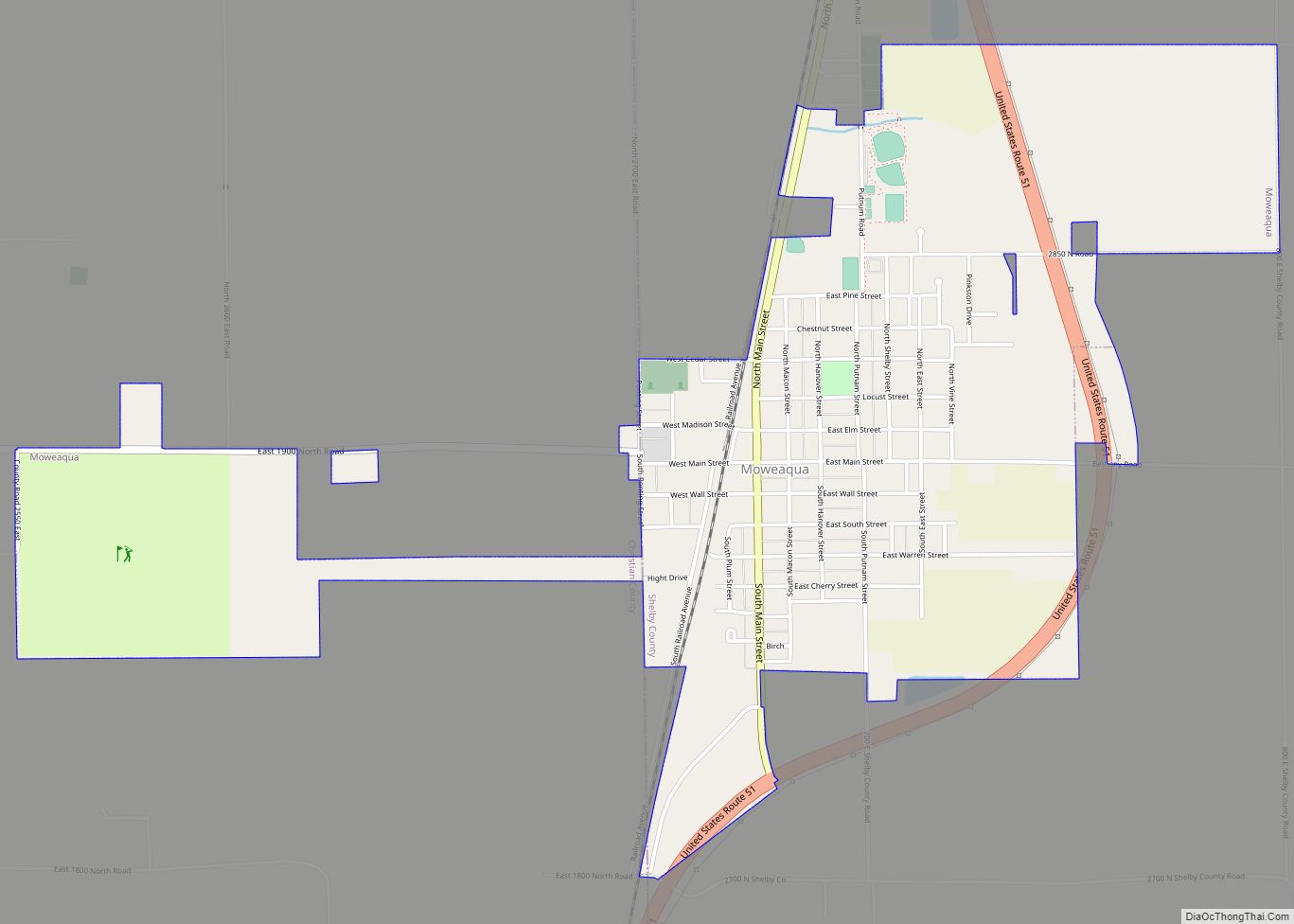
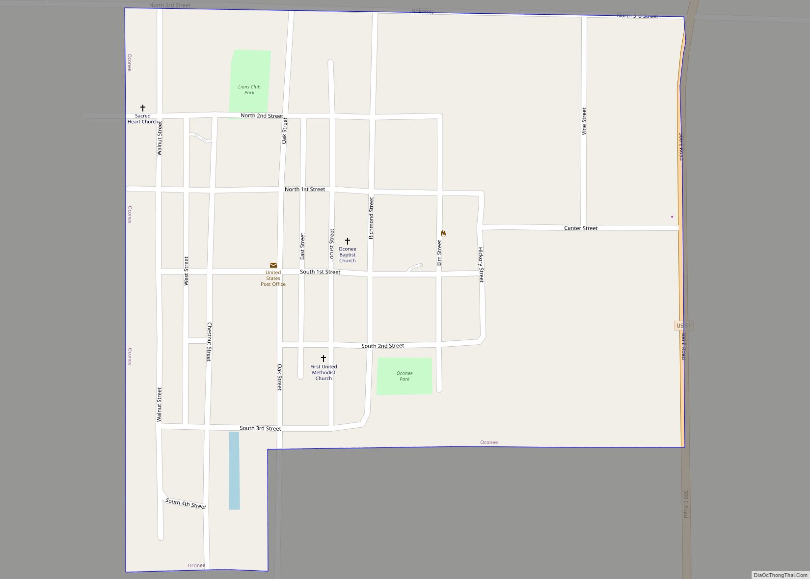
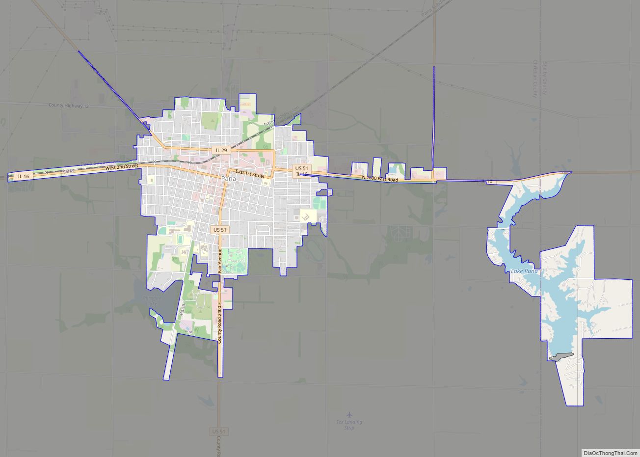
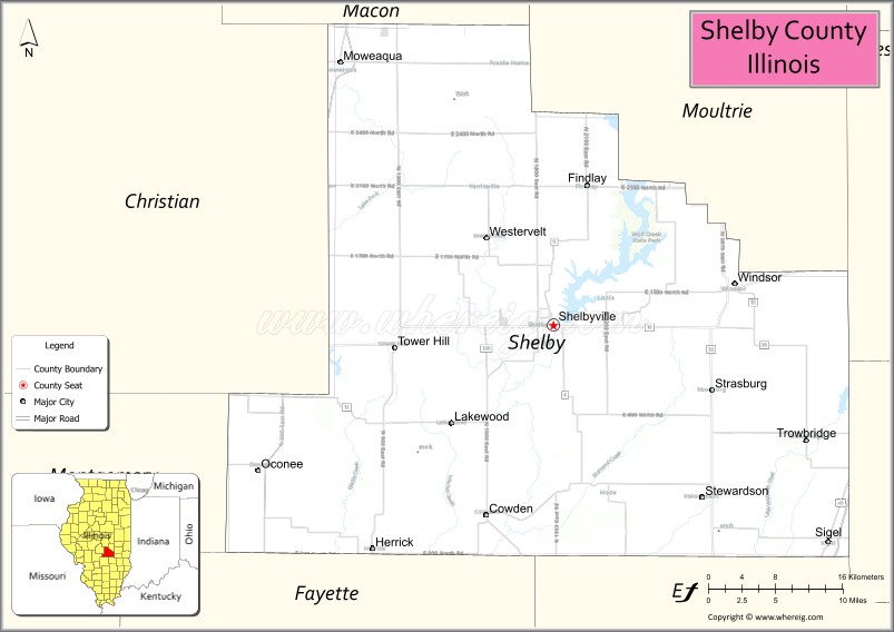
Shelby County is a county located in the U.S. state of Illinois. According to the 2020 census, it had a population of 20,990. Its county seat is Shelbyville.
| Name: | Shelby County |
|---|---|
| FIPS code: | 17-173 |
| State: | Illinois |
| Founded: | 1827 |
| Named for: | Isaac Shelby |
| Seat: | Shelbyville |
| Largest city: | Shelbyville |
| Total Area: | 768 sq mi (1,990 km²) |
| Land Area: | 759 sq mi (1,970 km²) |
| Total Population: | 20,990 |
| Population Density: | 27/sq mi (11/km²) |
| Time zone: | UTC−6 (Central) |
| Summer Time Zone (DST): | UTC−5 (CDT) |
| Website: | www.shelbycounty-il.com |
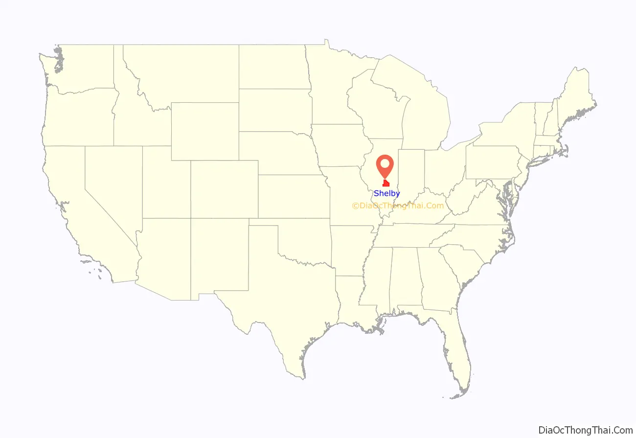
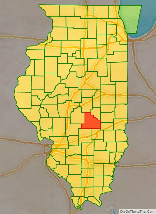
Shelby County location map. Where is Shelby County?
History
Shelby County was established in 1827 out of Fayette County. It was named in honor of Isaac Shelby, governor of Kentucky and participant in the American Revolutionary War.
Shelby county from the time of its creation to 1829, including a large tract of unorganized territory temporarily attached to it, whose precise border was not defined.
Shelby County between 1829 and 1839
Shelby County between 1839 and 1843
Shelby County in 1843, reduced to its present borders
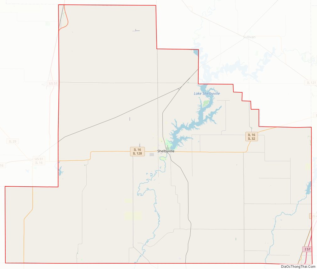
Shelby County Road Map
Geography
According to the U.S. Census Bureau, the county has a total area of 768 square miles (1,990 km), of which 759 square miles (1,970 km) is land and 9.5 square miles (25 km) (1.2%) is water.
Climate and weather
In recent years, average temperatures in the county seat of Shelbyville have ranged from a low of 19 °F (−7 °C) in January to a high of 87 °F (31 °C) in July, although a record low of −26 °F (−32 °C) was recorded in January 1915 and a record high of 111 °F (44 °C) was recorded in July 1936. Average monthly precipitation ranged from 1.89 inches (48 mm) in February to 4.05 inches (103 mm) in June.
Major highways
- Interstate 57
- U.S. Highway 45
- U.S. Highway 51
- Illinois Route 16
- Illinois Route 32
- Illinois Route 128
Adjacent counties
- Macon County – north
- Moultrie County – northeast
- Coles County – east
- Cumberland County – east
- Effingham County – south
- Fayette County – south
- Montgomery County – southwest
- Christian County – west
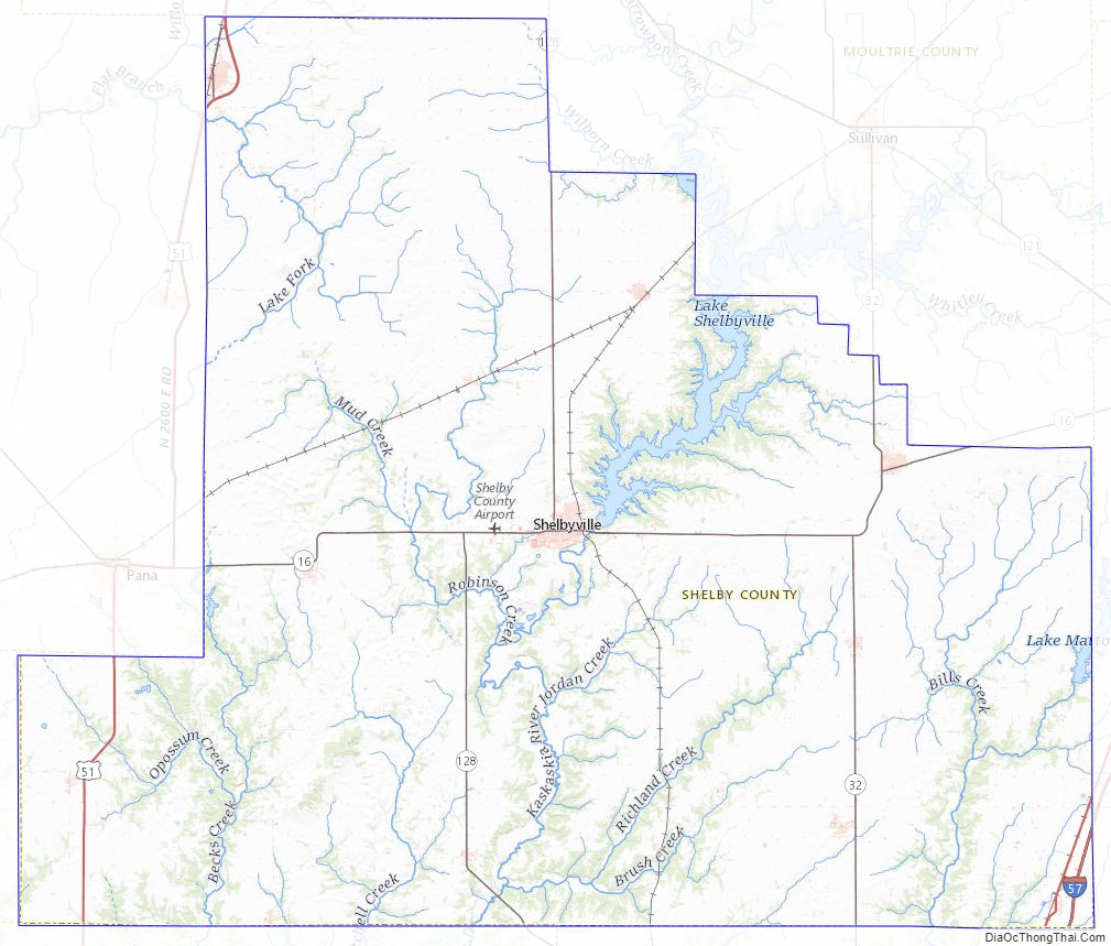
Shelby County Topographic Map
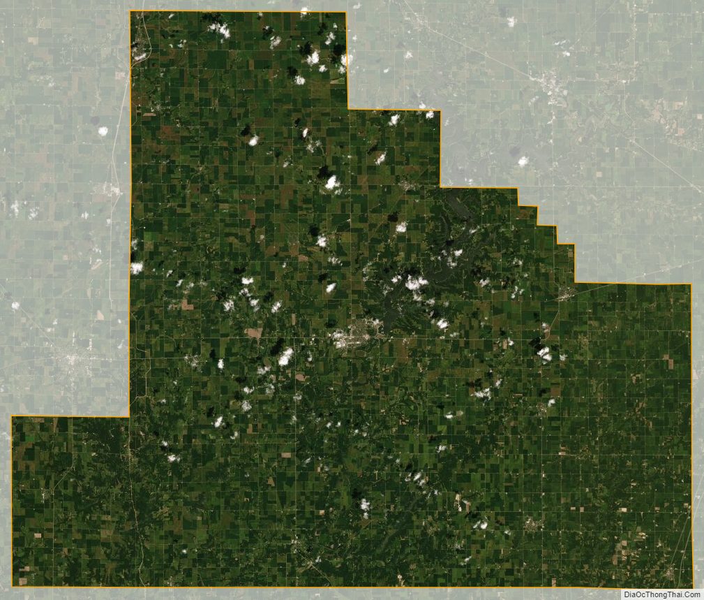
Shelby County Satellite Map
Shelby County Outline Map