Steuben County (stu-BEN) is a county located in the U.S. state of New York. As of the 2020 census, the population was 93,584. Its county seat is Bath. Its name is in honor of Baron von Steuben, a Prussian general who fought on the American side in the American Revolutionary War, though it is not pronounced the same (German: [fɔn ˈʃtɔʏbn̩]).
Steuben County comprises the Corning, NY Micropolitan Statistical Area, which is also included in the Elmira-Corning, NY Combined Statistical Area.
| Name: | Steuben County |
|---|---|
| FIPS code: | 36-101 |
| State: | New York |
| Founded: | 1796 |
| Named for: | Baron von Steuben |
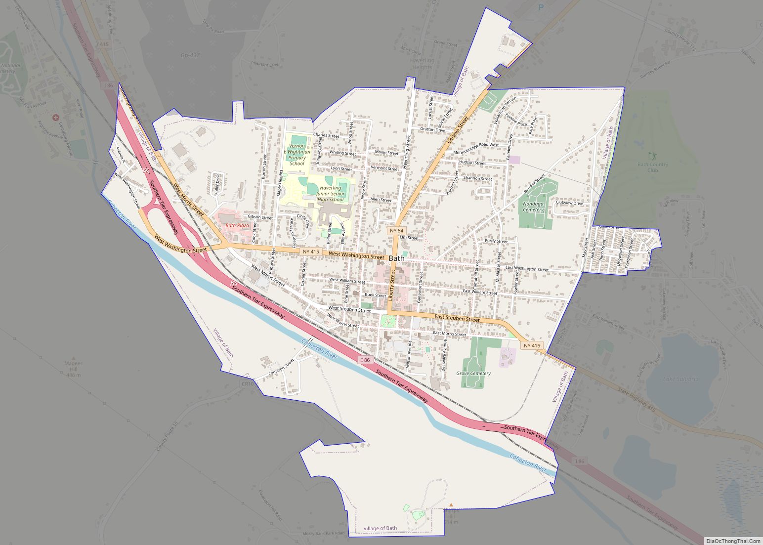
| Seat: | Bath |
| Largest city: | Corning |
| Total Area: | 1,404 sq mi (3,640 km²) |
| Land Area: | 1,391 sq mi (3,600 km²) |
| Total Population: | 93,584 |
| Population Density: | 67.3/sq mi (26.0/km²) |
| Time zone: | UTC−5 (Eastern) |
| Summer Time Zone (DST): | UTC−4 (EDT) |
| Website: | www.steubencony.org |
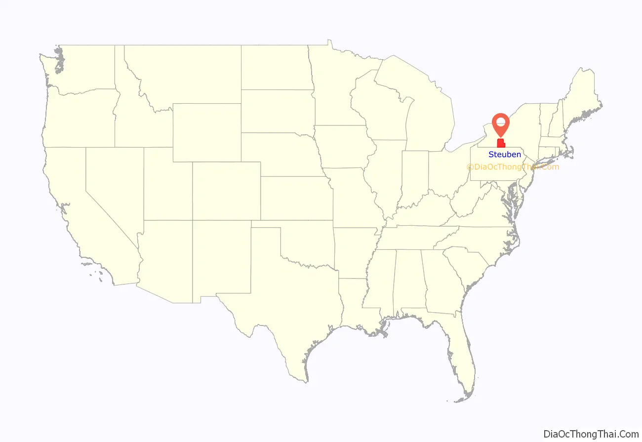
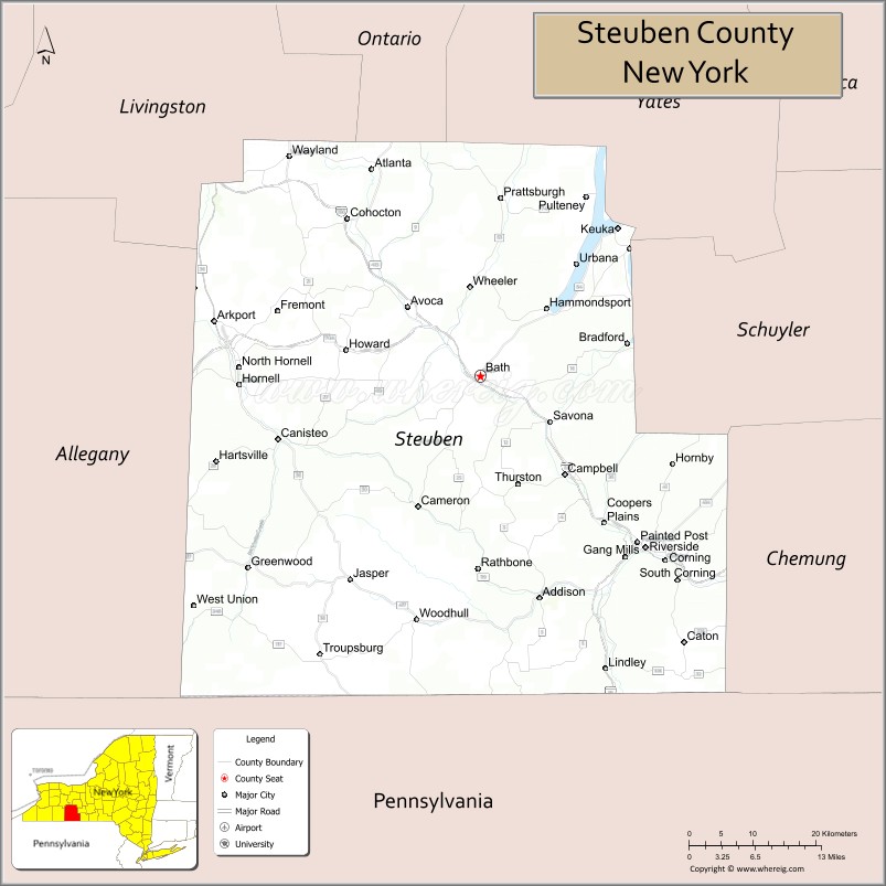
Steuben County location map. Where is Steuben County?
History
Ontario County was established in 1789 to govern lands the state of New York had acquired in the Phelps and Gorham Purchase; at the time it covered the entirety of Western New York. Steuben County, much larger than today, was split off from Ontario County on March 8, 1796. In 1823 a portion of Steuben County was combined with a portion of Ontario County to form Yates County. Steuben County was further reduced in size on April 17, 1854, when a portion was combined with portions of Chemung and Tompkins counties to form Schuyler County.
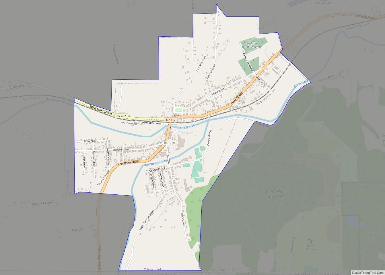
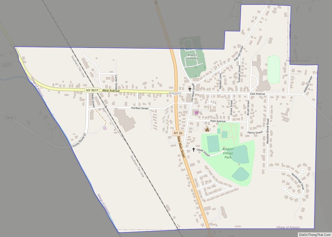
Although it is not much mentioned because it does not fit well into the standard narrative of New York State history, in its earliest years Steuben County was demographically and geographically linked to the Susquehanna River basin in Pennsylvania, leading to the port of Baltimore. The Canisteo River, navigable as far as Arkport, emptied into the Chemung River and it into the Susquehanna. There were no natural barriers, like the Cohoes Falls on the Mohawk, to impede transportation, and timber and other agricultural products were easily shipped downriver from what are today (2019) the towns of Addison, Canisteo, and Hornellsville. Prior to the opening of the Erie Canal in 1825, followed by the railroads, communication with the Hudson Valley and New York City was difficult. Limited to horses, mules, and donkeys, it was far too expensive to be used to ship bulky agricultural products.
In 1892 a bill was introduced in the Legislature to split Steuben County, with Canisteo, Corning, and “the south towns” becoming Lincoln County. It did not pass.
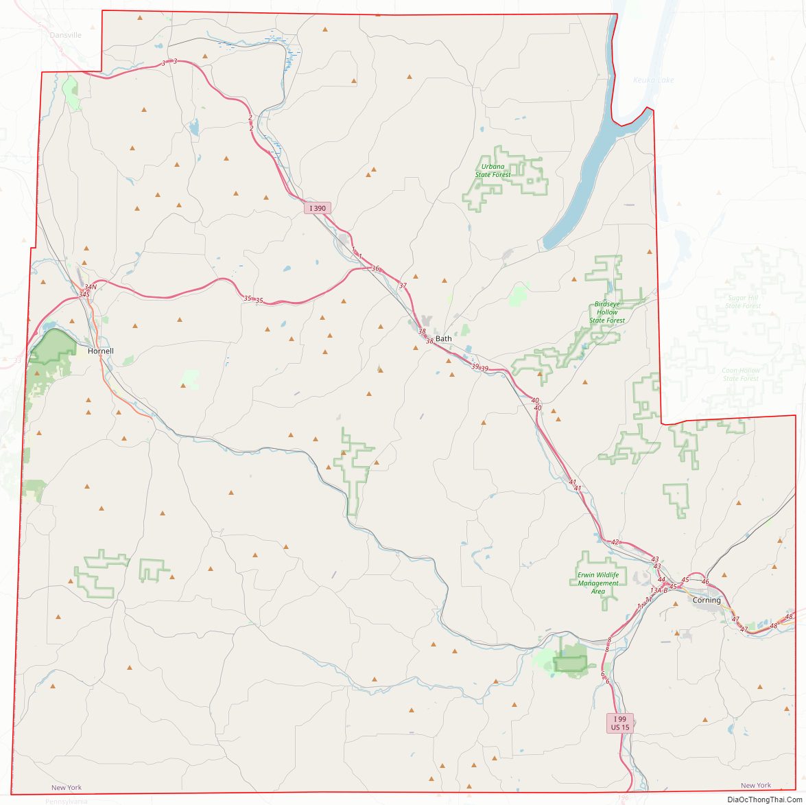
Steuben County Road Map
Geography
According to the U.S. Census Bureau, the county has a total area of 1,404 square miles (3,640 km), of which 1,391 square miles (3,600 km) is land and 14 square miles (36 km) (1.0%) is water.
Steuben County is in the southwestern part of New York State, immediately north of the Pennsylvania border. The population of Steuben County according to the 2000 U. S. census was 98,726. The county is in the Southern Tier region of New York State.
Adjacent counties
- Ontario County – north
- Yates County – northeast
- Schuyler County – east
- Chemung County – east
- Tioga County, Pennsylvania – south
- Potter County, Pennsylvania – southwest
- Allegany County – west
- Livingston County – northwest
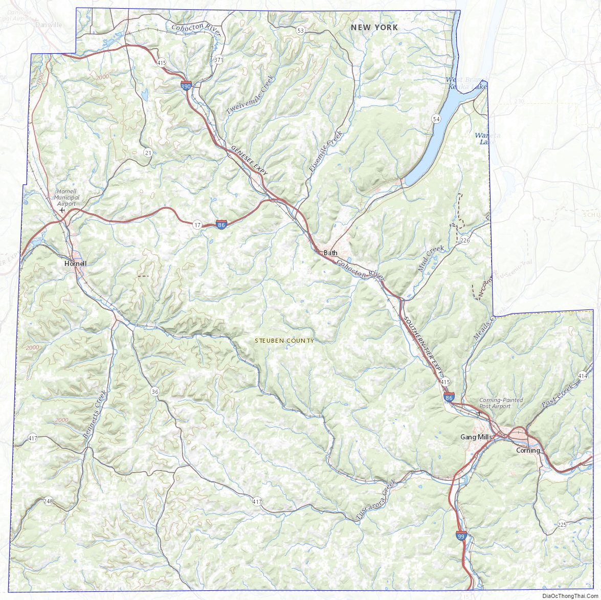
Steuben County Topographic Map
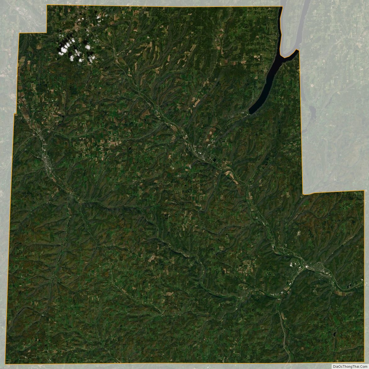
Steuben County Satellite Map
Steuben County Outline Map