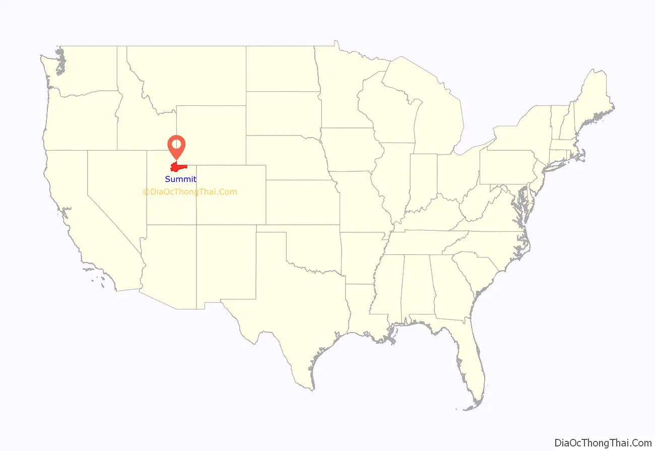
Summit County is a county in the U.S. state of Utah, occupying a rugged and mountainous area. As of the 2010 United States Census, the population was 36,324. Its county seat is Coalville, and the largest city is Park City.
| Name: | Summit County |
|---|---|
| FIPS code: | 49-043 |
| State: | Utah |
| Founded: | 1854 |
| Named for: | The summits of the mountains |
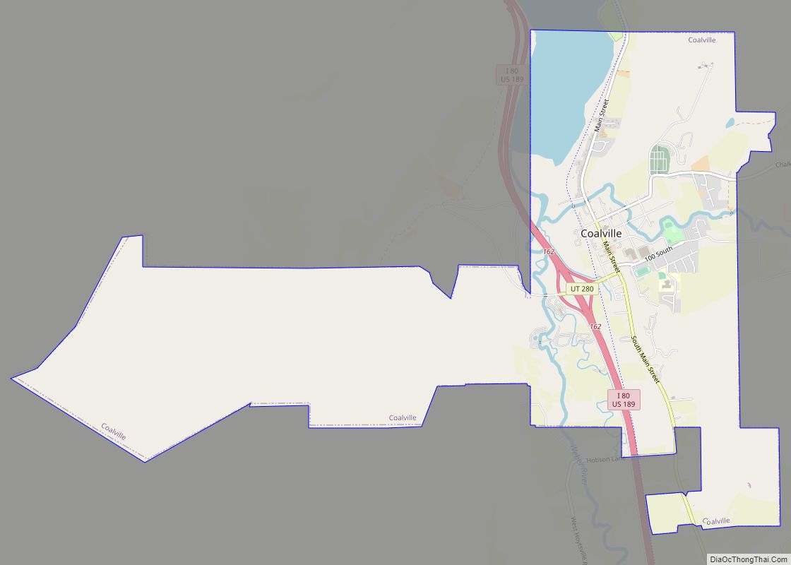
| Seat: | Coalville |
| Largest city: | Park City |
| Total Area: | 1,882 sq mi (4,870 km²) |
| Land Area: | 1,872 sq mi (4,850 km²) |
| Total Population: | 42,357 |
| Population Density: | 23/sq mi (8.7/km²) |
| Time zone: | UTC−7 (Mountain) |
| Summer Time Zone (DST): | UTC−6 (MDT) |
| Website: | www.co.summit.ut.us |
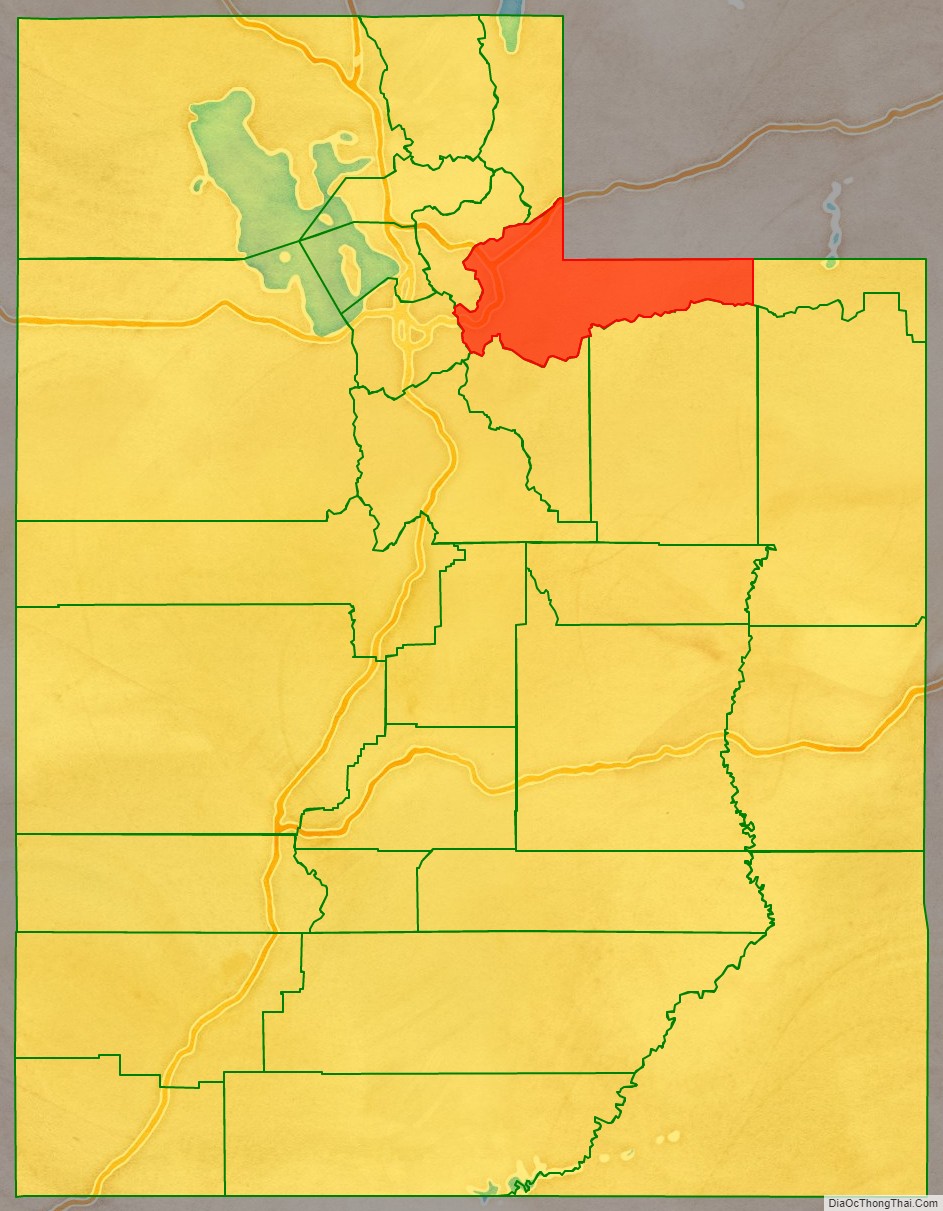
Summit County location map. Where is Summit County?
History
The county was created by the Utah Territory legislature on January 13, 1854, with its description containing a portion of the future state of Wyoming. It was not organized then but was attached to Great Salt Lake County for administrative and judicial purposes. The county government was completed by March 4, 1861, so its attachment to the other county was terminated. The county boundaries were altered in 1856 and in 1862. In 1868 the Wyoming Territory was created by the US government, effectively de-annexing all Summit County areas falling within the new territory. The boundaries were further altered in 1872 and 1880. Its final alteration occurred on January 7, 1918, when Daggett‘s creation took a portion of its eastern territory. Its boundary has remained unchanged since that creation. It is so named because it includes 39 of the highest mountain peaks in Utah.
The county’s mean elevation is 8,388 feet (2,557 m) above sea level, which is the second-highest (after Taos County, New Mexico) of any county outside Colorado. Owing to its proximity to Salt Lake City, Park City has acquired a reputation as an upscale getaway, bringing new development to the area.
Summit County is part of the Heber, UT Micropolitan Statistical Area, which is also included in the Salt Lake City–Provo–Orem, UT Combined Statistical Area.
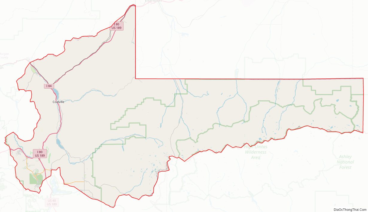
Summit County Road Map
Geography
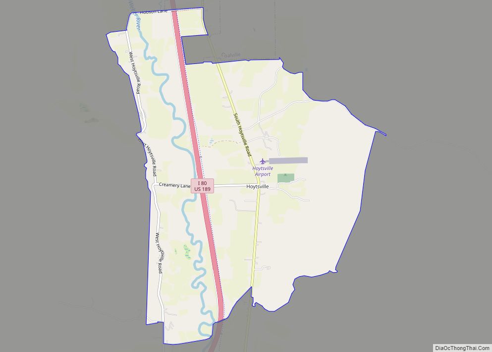
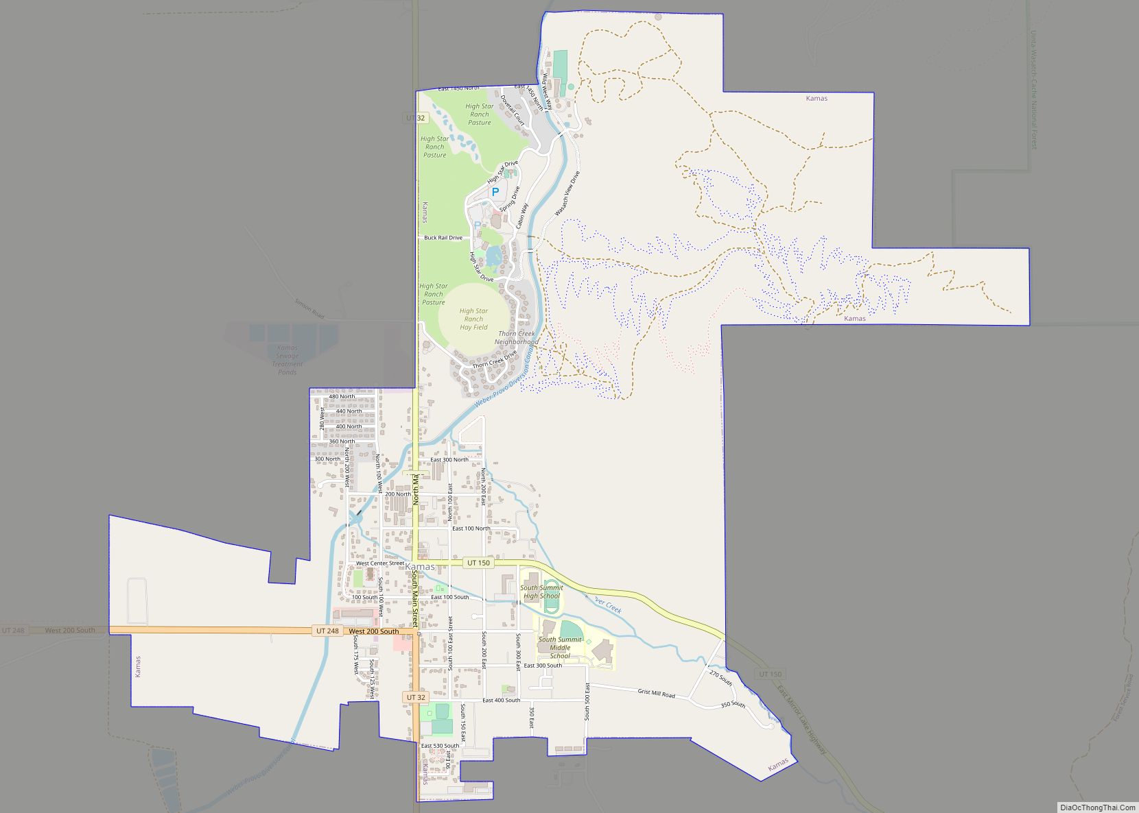
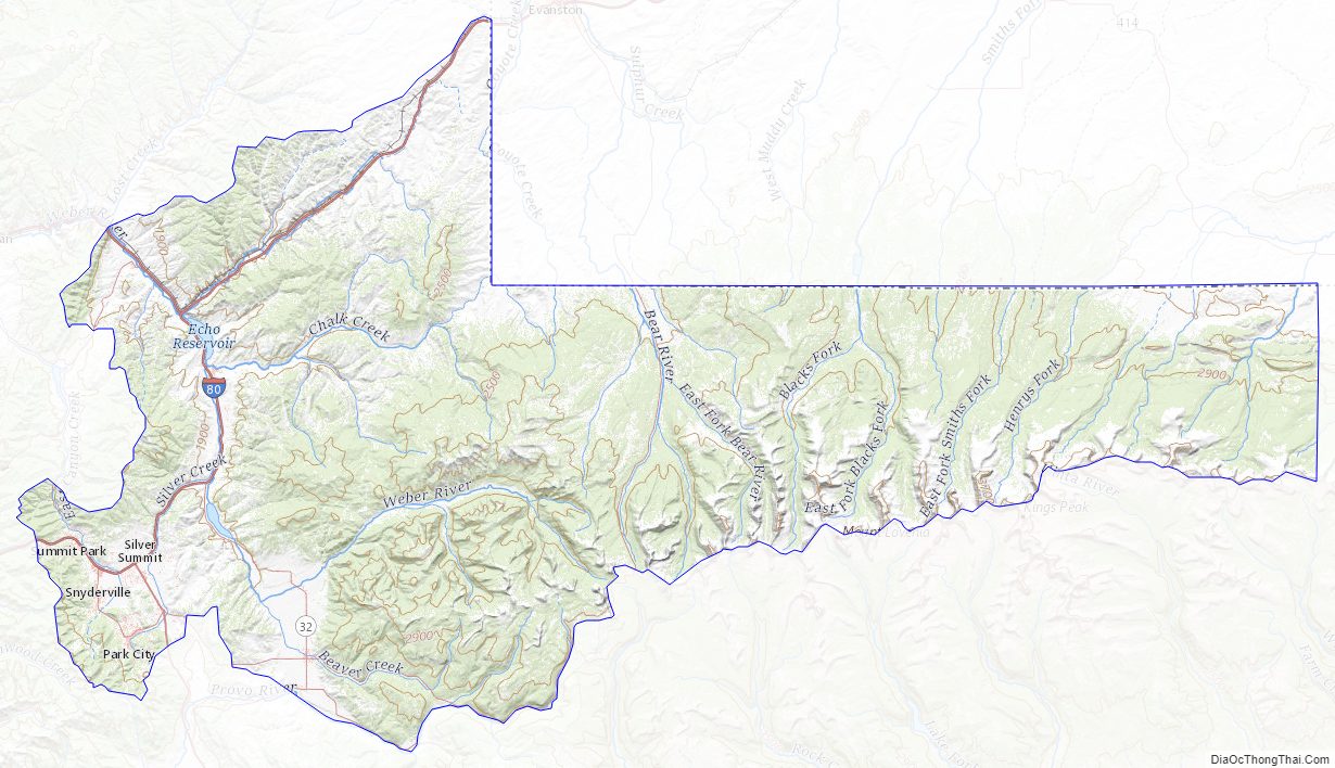
Summit County lies on the upper east side of Utah. Its northeast borders abut the south and west borders of the state of Wyoming. Its central and eastern portion consists largely of the east-west oriented Uinta Mountains, while its western portion runs to the east slopes of the north-south oriented Wasatch Mountains. The county’s highest point is Gilbert Peak, on the border with Duchesne County, at 13,448′ (4099m) ASL. The county has a total area of 1,882 square miles (4,870 km), of which 1,872 square miles (4,850 km) is land and 10 square miles (26 km) (0.5%) is water.
Major highways
- Interstate 80
- Interstate 84
- U.S. Route 40
- U.S. Route 189
- Utah State Route 32
- Utah State Route 150
- Utah State Route 224
- Utah State Route 248
Adjacent counties
- Rich County – north
- Uinta County, Wyoming – northeast
- Sweetwater County, Wyoming – northeast
- Daggett County – east
- Duchesne County – southeast
- Wasatch County – south
- Salt Lake County – southwest
- Morgan County – northwest
- Salt Lake County – west
Protected areas
- Ashley National Forest (part)
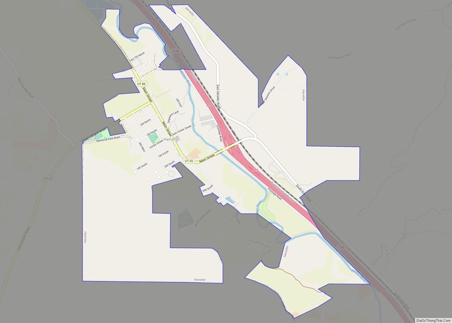
- Henefer-Echo Wildlife Management Area
- Rockport State Park
- Wasatch National Forest (part)
Lakes
- Abes Lake
- Adax Lake
- Alexander Lake
- Alligator Lake
- Allsop Lake
- Amethyst Lake
- Anchor Lake
- Azure Lake
- Baker Lake
- Bald Lake
- Ball and Moore Reservoir
- Barker Reservoir
- Bear Lake
- Beaver Lake (near Coffin Lake)
- Beaver Lake (near Duck Lake)
- Beaver Lake (near Whitney Reservoir)
- Beaver Meadow Reservoir
- Bench Lake
- Bennion Lake
- Beth Lake
- Big Elk Lake
- Blue Lake (near Boyer Lake)
- Blue Lake (near Haystack Lake)
- Bobs Lake
- Bourbon Lake
- Boyer Lake
- Bridger Lake
- Buckeye Lake
- Burnt Fork Lake
- Castle Lake (near Lake Blanchard)
- Castle Lake (near Shingle Creek Lakes)
- Chappell Lake
- China Lake
- Clegg Lake
- Cliff Lake (near Lake Blanchard)
- Cliff Lake (near Trial Lake)
- Clyde Lake
- Coffin Lake
- Crystal Lake
- Cuberant Lake
- Cutthroat Lake (near Island Lake)
- Cutthroat Lake (near Teal Lake)
- Dead Horse Lake
- Dean Lake
- Diamond Lake
- Dine Lake
- Dollar Lake
- Duck Lake (near Bald Lake)
- Duck Lake (near Fire Lake)
- East Red Castle Lake
- Echo Reservoir
- Elizabeth Lake
- Elkhorn Reservoir
- Erickson Lakes
- North Erickson Lake
- South Erickson Lake
- Fir Lake
- Fire Lake
- Fish Lake (near Burnt Fork Lake)
- Fish Lake (near Lyman Lake)
- Fish Lake (near Sand Lake)
- Gendy Lake
- Gilbert Lake
- Grahams Reservoir (part)
- Grass Lake
- Grassy Lakes
- Hayden Lake
- Haystack Lake
- Hell Hole Lake
- Henrys Fork Lake
- Hidden Lake (near Dine Lake)
- Hidden Lake (near Peter Lake)
- Hidden Lake (near Pot Reservoir)
- Hidden Lake (near Spirit Lake)
- Hidden Lake (near Tamarack Lake)
- Hidden Lake (near Smith and Morehouse Reservoir)
- Hoop Lake
- Hope Lake
- Hourglass Lake
- Ibantik Lake
- Island Lake (near Bennion Lake)
- Island Lake (near Grass Lake)
- Island Lake (near Ramona Lake)
- James Lake
- Jean Lake
- Jerry Lake
- Jessen Lake
- Jewel Lake
- John Lake
- Joyce Lake
- Kabell Lakes
- Kamas Lake
- Kermsuh Lake
- Lake Blanchard
- Lake Ejod
- Lake Hessie
- Lake Lorena
- Lake Marion
- Liberty Lake
- Lilly Lake
- Lily Lake
- Lily Lakes (aka Montgomery Lakes)
- Lily Pad Lake
- Linear Lake
- Little Elk Lake
- Little Lyman Lake
- Lofty Lake
- Long Lake
- Lost Lake (near Lilly Lake)
- Lost Lake (near Tamarack Lake)
- Lovenia Lake
- Lower Red Castle Lake
- Lower Yellow Pine Lake
- Lym Lake
- Lyman Lake
- Marjorie Lake
- Marsh Lake
- McPheters Lake
- Meadow Lake
- Meeks Cabin Reservoir (part)
- Moslander Reservoir
- Naomi Lake
- Norice Lake
- Notch Lake (Cliff Lake)
- Olsen Lake
- Ostler Lake
- Peter Lake
- Petit Lake
- Picturesque Lake
- Ponds Lake
- Porcupine Reservoir
- Pot Reservoir
- Priord Lake
- Quarter Corner Lake
- Ramona Lake
- Red Castle Lake
- Red Pine Lake
- Reids Lake
- Rhoads Lake
- Rock Lake
- Rockport Reservoir
- Round Lake
- Ruth Lake
- Ryder Lake
- Salamander Lake
- Salt Fish Lake
- Sand Lake
- Sargent Lake
- Sargent Lakes
- Sargent Number One Reservoir
- Sawmill Lake
- Scow Lake
- Shadow Lake (near Park City)
- Shadow Lake (near Tail Lake)
- Shallow Lake
- Shingle Creek Lakes
- East Shingle Creek Lake
- Lower Shingle Creek Lake
- West Shingle Creek Lake
- Shingle Mill Lake
- Shoestring Lake
- Smith and Morehouse Reservoir
- Smiths Fork Pass Lake
- Spectacle Lake
- Spirit Lake (part)
- Star Lake
- Stateline Reservoir
- Tail Lake
- Tamarack Lake
- Teal Lake
- Teapot Lake (aka Lost Lake Number 2)
- Three Divide Lakes
- Booker Lake
- Divide Lake 1
- Divide Lake 2
- Toomset Lake
- Trial Lake
- Trident Lake
- Twin Lakes
- North Twin Lake
- South Twin Lake
- Upper Red Castle Lake
- Upper Yellow Pine Lake
- Wall Lake
- Washington Lake
- Watson Lake
- Weir Reservoir
- Whiskey Island Lake
- White Pine Lake
- Whitney Reservoir
Summit County Topographic Map
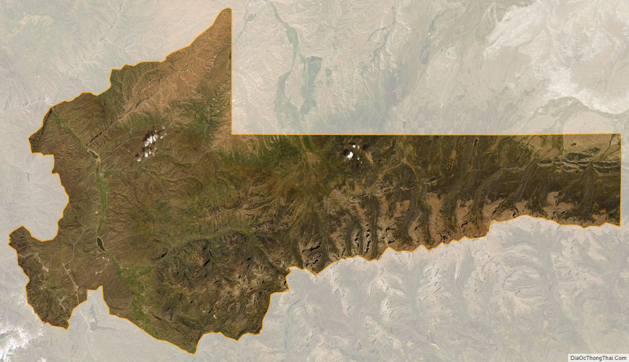
Summit County Satellite Map
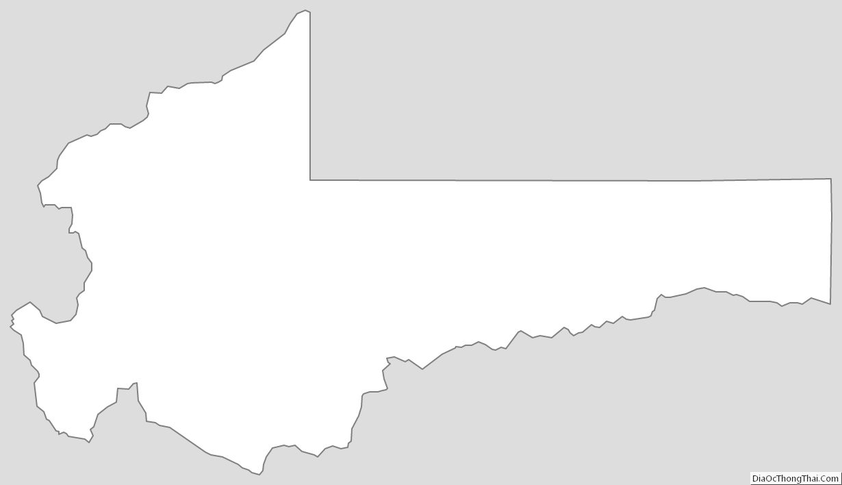
Summit County Outline Map