Kamas (/ˈkæməs/ KAM-əs) is a city in southwestern Summit County, Utah, United States. The population was 1,811 at the 2010 census. It is located 42 miles (68 km) east of downtown Salt Lake City. The main industries are cattle ranching and lumber. The town is known as “The Gateway to the Uinta Mountains”.
| Name: | Kamas city |
|---|---|
| LSAD Code: | 25 |
| LSAD Description: | city (suffix) |
| State: | Utah |
| County: | Summit County |
| Elevation: | 6,486 ft (1,977 m) |
| Total Area: | 3.69 sq mi (9.54 km²) |
| Land Area: | 3.69 sq mi (9.54 km²) |
| Water Area: | 0.00 sq mi (0.00 km²) |
| Total Population: | 1,811 |
| Population Density: | 617.64/sq mi (238.50/km²) |
| ZIP code: | 84036 |
| Area code: | 435 |
| FIPS code: | 4939810 |
| GNISfeature ID: | 1442266 |
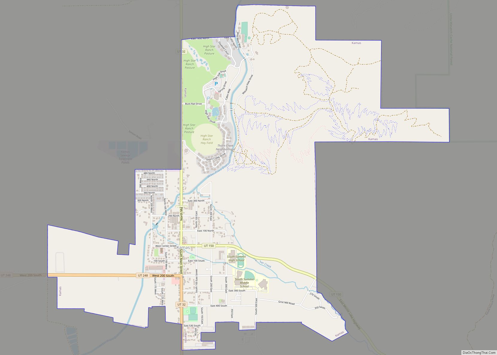
Online Interactive Map
Click on ![]() to view map in "full screen" mode.
to view map in "full screen" mode.
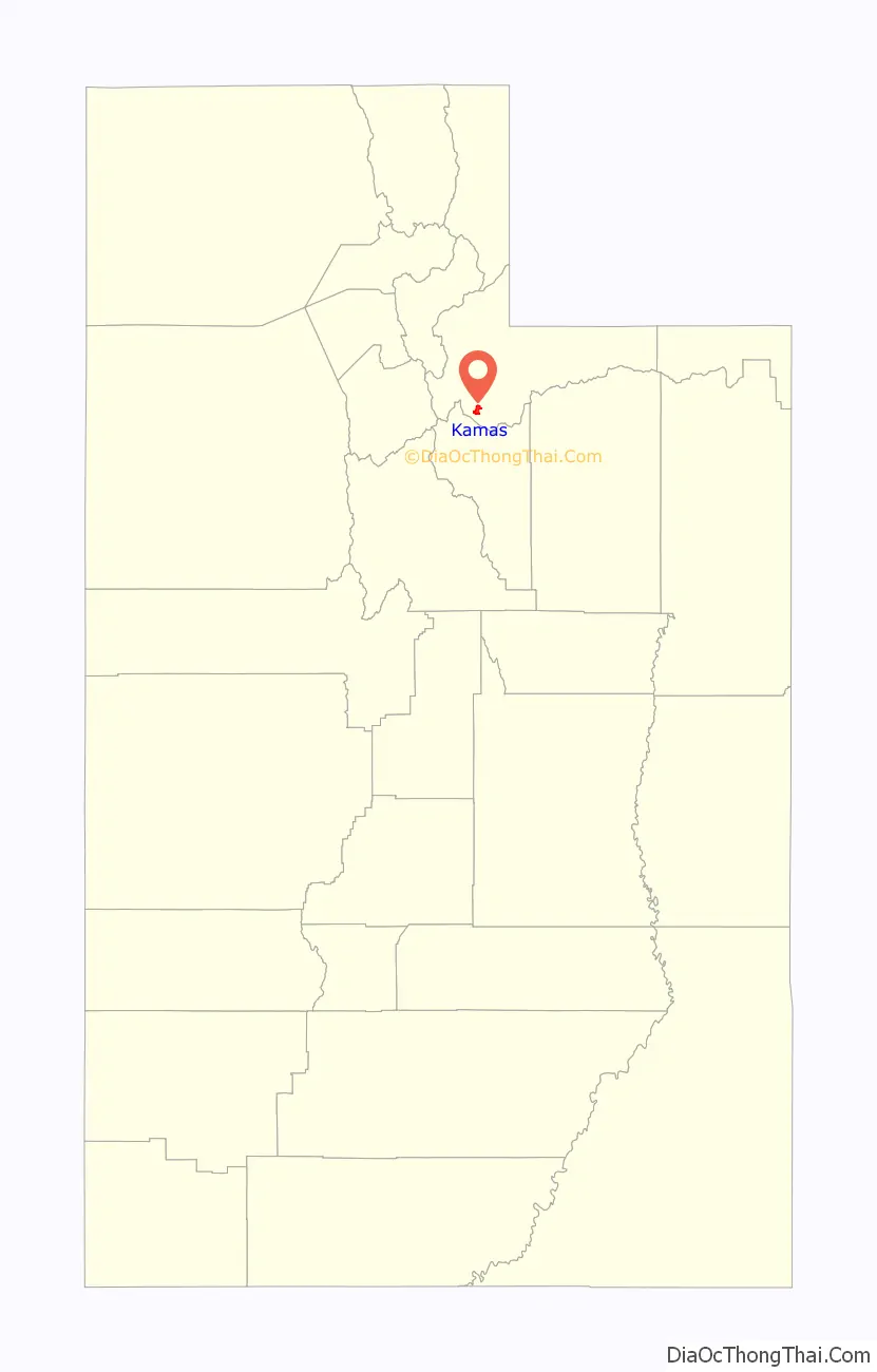
Kamas location map. Where is Kamas city?

History
Kamas derives its name from Camassia quamash, a source of food for Native Americans.
Kamas was inhabited intermittently by several Native American ethnic groups, including members of the Ute, Shoshone, and Snake tribes. The first permanent settlements in the valley are believed to have been built by Mormon pioneers including Abraham Marchant, John Lambert, and John Pack who settled under the direction of Brigham Young.
One prominent figure in Kamas folklore history is Thomas Rhoads. According to legend, Indian guides from an area Ute Tribe revealed to Rhoads the location of a gold mine from which he was allowed to take gold to assist in the construction of the Salt Lake Temple. The only condition the Ute guides gave for revealing the location of this mine was that Rhoads agreed not to reveal the location of the mine to any other person. Rhoads adhered to the terms of this agreement until his eventual death from an illness. The “Rhoads Mine” is now considered lost, but its legend survives in several books which have been published on the topic.
Kamas Road Map
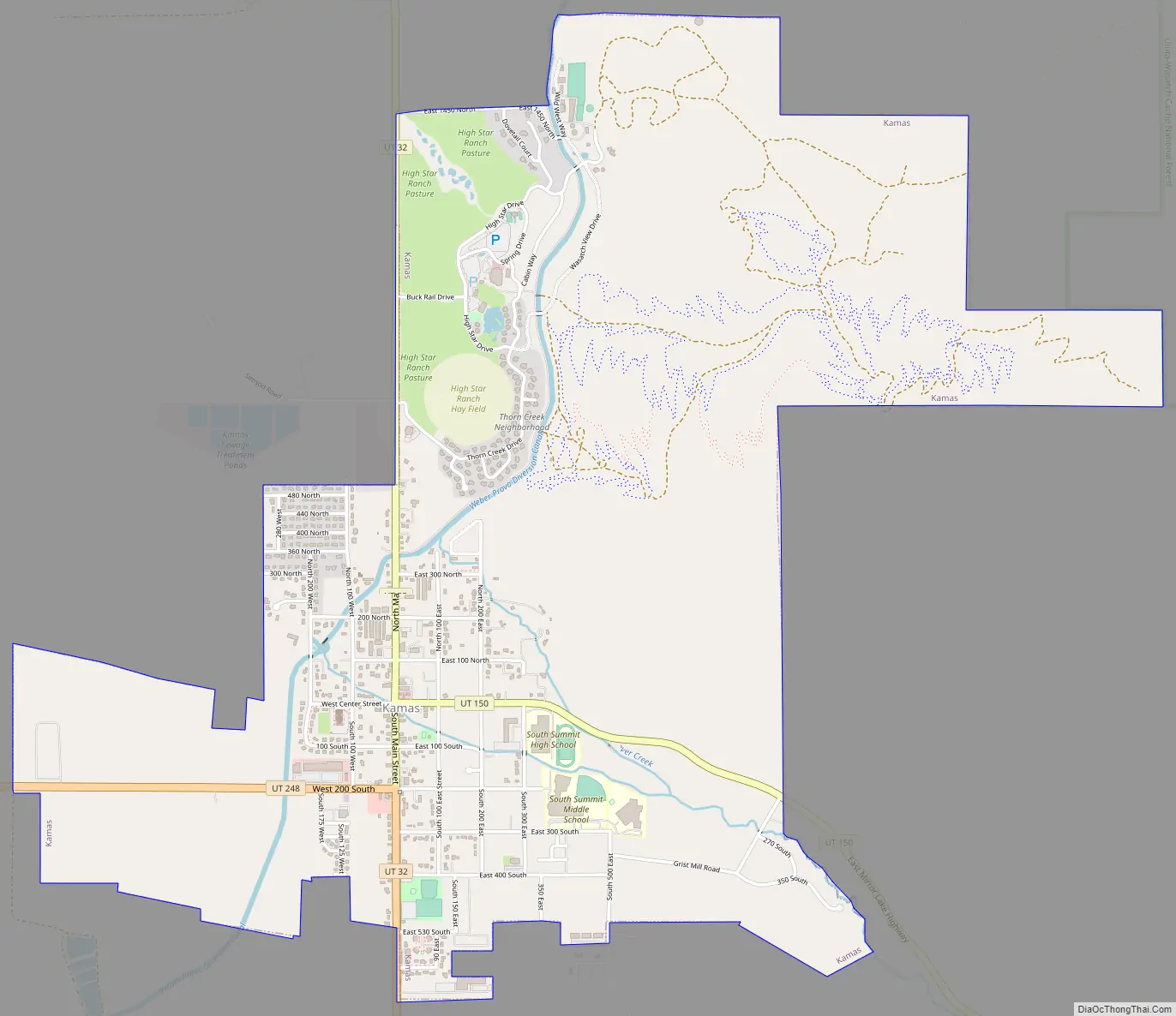
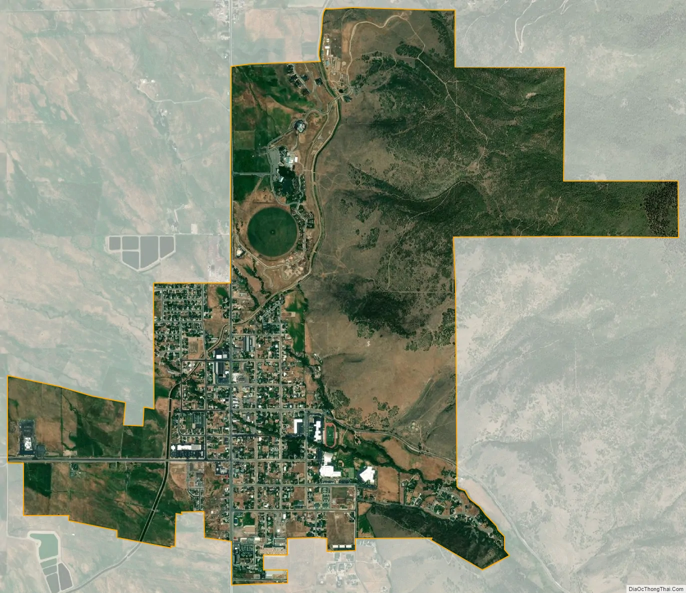
Kamas city Satellite Map
Geography
According to the United States Census Bureau, the city has a total area of 1.6 square miles (4.1 km), all land.
Climate
According to the Köppen Climate Classification system, Kamas has a warm-summer humid continental climate, abbreviated “Dfb” on climate maps. The hottest temperature recorded in Kamas was 101 °F (38.3 °C) on July 13, 2002, while the coldest temperature recorded was −31 °F (−35.0 °C) on December 21, 1990.
See also
Map of Utah State and its subdivision: Map of other states:- Alabama
- Alaska
- Arizona
- Arkansas
- California
- Colorado
- Connecticut
- Delaware
- District of Columbia
- Florida
- Georgia
- Hawaii
- Idaho
- Illinois
- Indiana
- Iowa
- Kansas
- Kentucky
- Louisiana
- Maine
- Maryland
- Massachusetts
- Michigan
- Minnesota
- Mississippi
- Missouri
- Montana
- Nebraska
- Nevada
- New Hampshire
- New Jersey
- New Mexico
- New York
- North Carolina
- North Dakota
- Ohio
- Oklahoma
- Oregon
- Pennsylvania
- Rhode Island
- South Carolina
- South Dakota
- Tennessee
- Texas
- Utah
- Vermont
- Virginia
- Washington
- West Virginia
- Wisconsin
- Wyoming