Vermilion Parish (French: Paroisse de Vermillion) is a parish located in the U.S. state of Louisiana, created in 1844. The parish seat is Abbeville. Vermilion Parish is part of the Lafayette metropolitan statistical area, and located in southern Acadiana. At the 2020 U.S. census, the population was 57,359.
In the past several decades, much of the southern portion of the parish has been swept away by water erosion, especially after Hurricane Katrina and Hurricane Rita in 2005.
| Name: | Vermilion Parish |
|---|---|
| FIPS code: | 22-113 |
| State: | Louisiana |
| Founded: | 1844 |
| Named for: | Vermilion River and Bay |
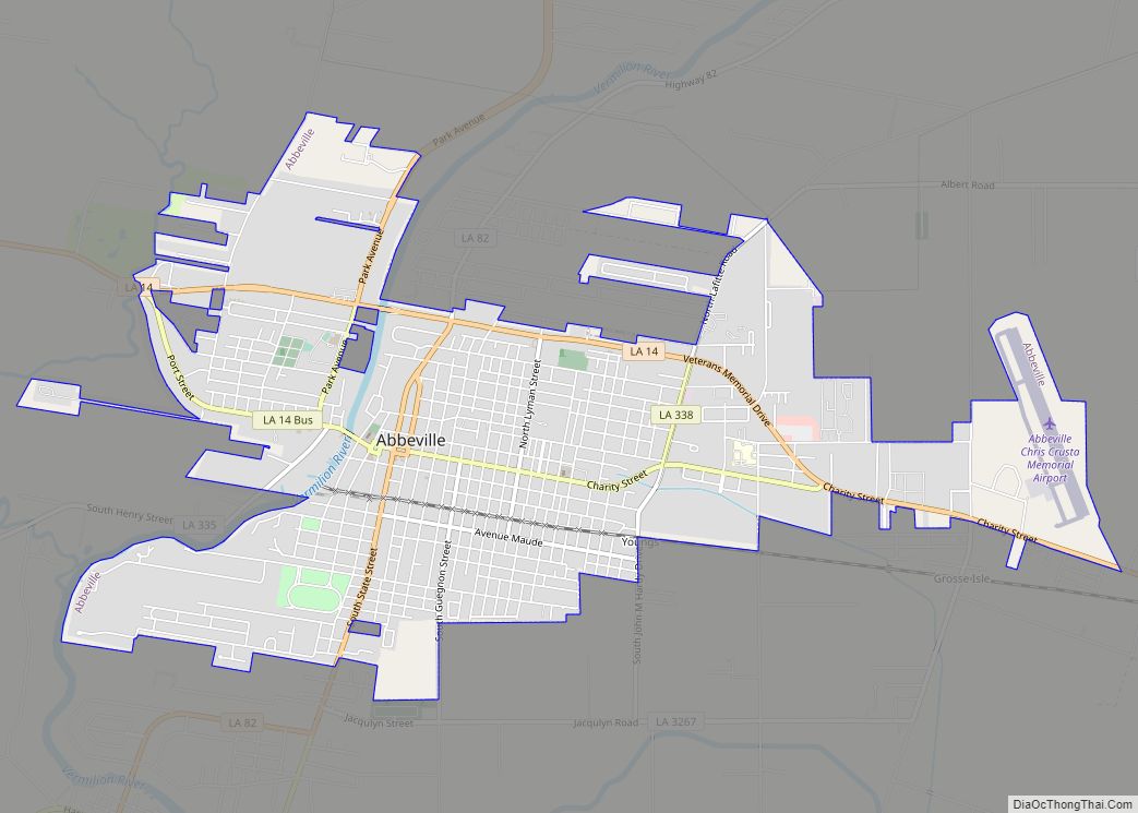
| Seat: | Abbeville |
| Largest city: | Abbeville |
| Total Area: | 1,542 sq mi (3,990 km²) |
| Land Area: | 1,173 sq mi (3,040 km²) |
| Total Population: | 57,359 |
| Population Density: | 37/sq mi (14/km²) |
| Time zone: | UTC−6 (Central) |
| Summer Time Zone (DST): | UTC−5 (CDT) |
| Website: | vermilionparishpolicejury.com |
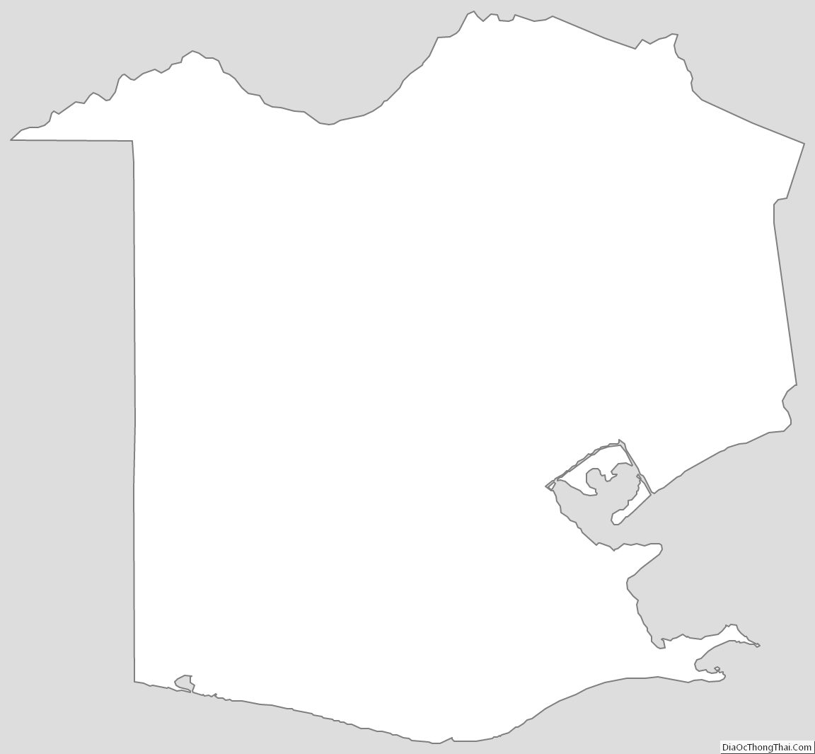
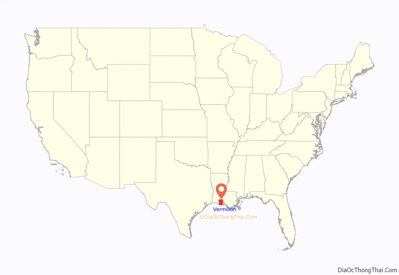
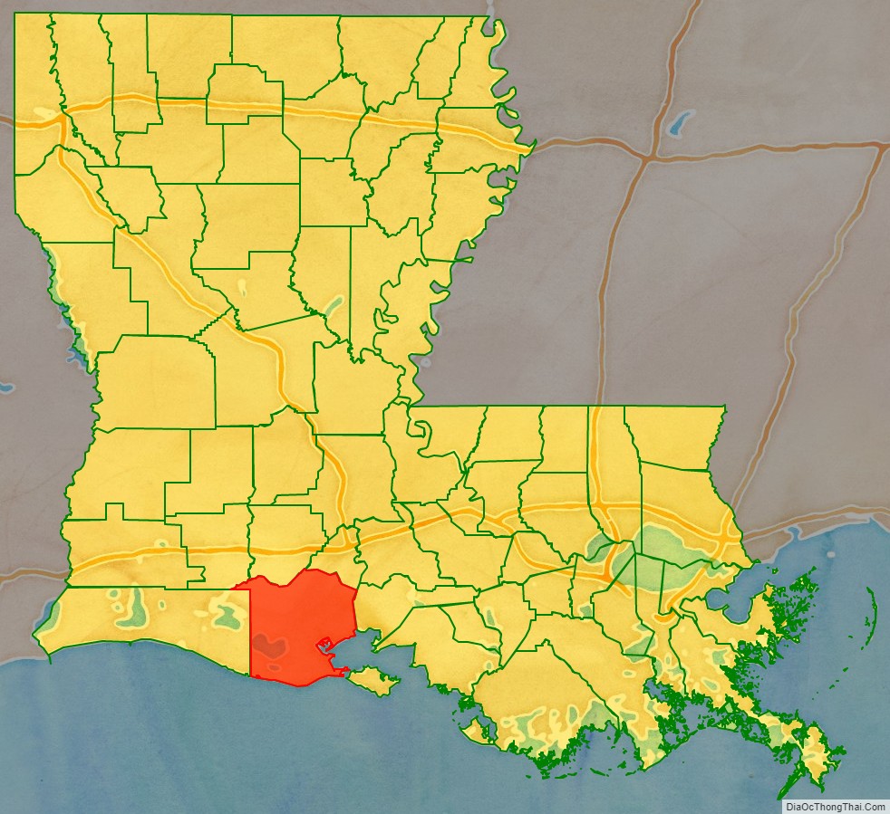
Vermilion Parish location map. Where is Vermilion Parish?
History
Indigenous peoples lived in the area for thousands of years, from different cultures. By historic times, the Chitimacha and Atakapa inhabited the area and were the American Indians encountered by Spanish and French explorers and settlers. The tribes’ numbers were drastically reduced as a result of exposure to European diseases.
French, Spanish, enslaved Africans, and French-Canadians from Acadia expelled after the Seven Years’ War won by Great Britain, had all entered the area by the end of the 18th century. As the population became mostly Cajun, the primary language was French for years. In the mid- to late 19th century, they were joined by European Americans; immigrants from Italy, recruited to work on the plantations, as well as Jewish immigrants from Germany and eastern Europe, who tended to settle in towns and become merchants.
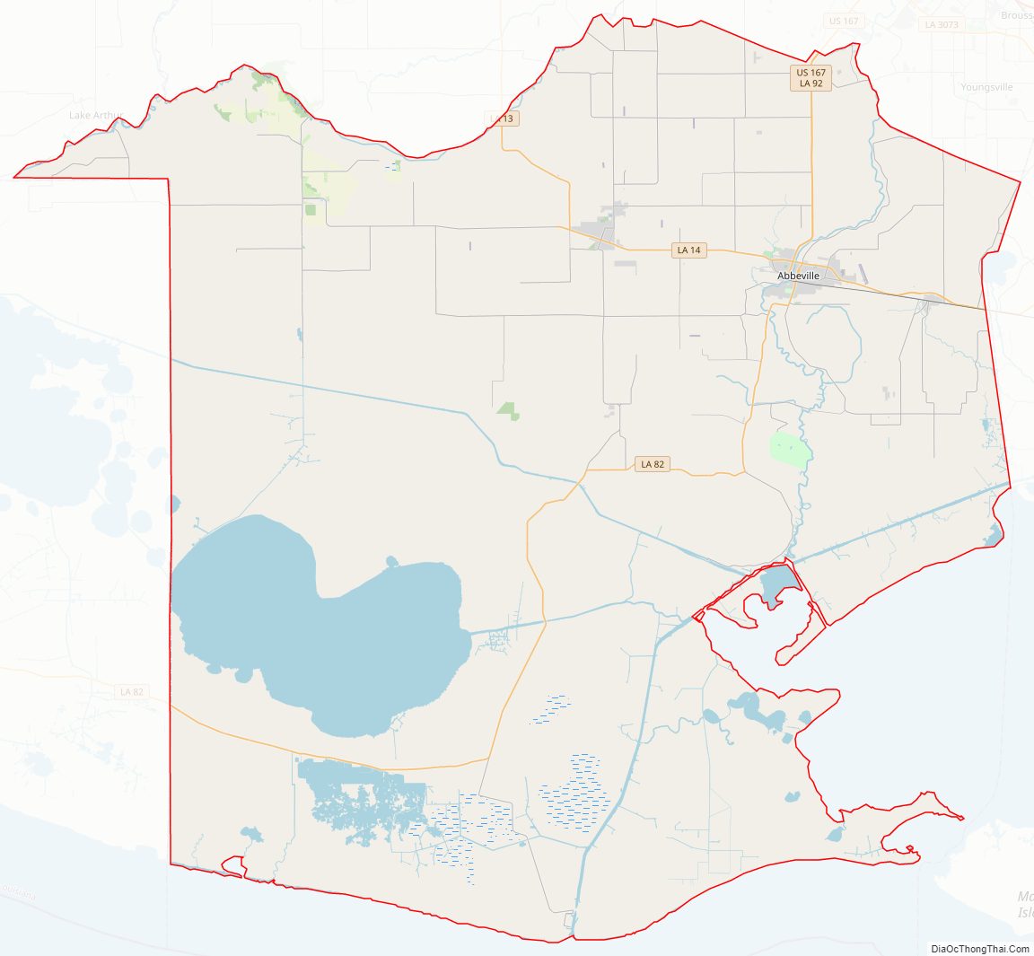
Vermilion Parish Road Map
Geography
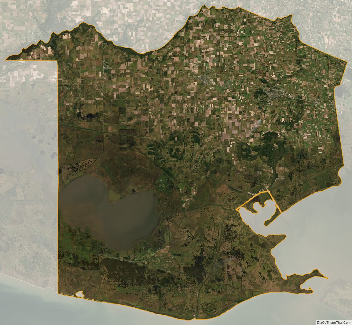
According to the U.S. Census Bureau, the parish has a total area of 1,542 square miles (3,990 km), of which 1,173 square miles (3,040 km) is land and 369 square miles (960 km) (24%) is water. It is the fifth-largest parish in Louisiana by total area. The Gulf of Mexico is located to the south of the parish.
Major highways
- U.S. Highway 167
- Louisiana Highway 13
- Louisiana Highway 14
- Louisiana Highway 82
- Louisiana Highway 89
- Louisiana Highway 91
- Louisiana Highway 92
- Louisiana Highway 330
- Louisiana Highway 331
- Louisiana Highway 338
- Louisiana Highway 339
- Louisiana Highway 343
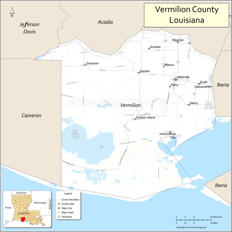
Adjacent parishes
- Acadia Parish (north)
- Lafayette Parish (northeast)
- Iberia Parish (east)
- Cameron Parish (west)
- Jefferson Davis Parish (northwest)
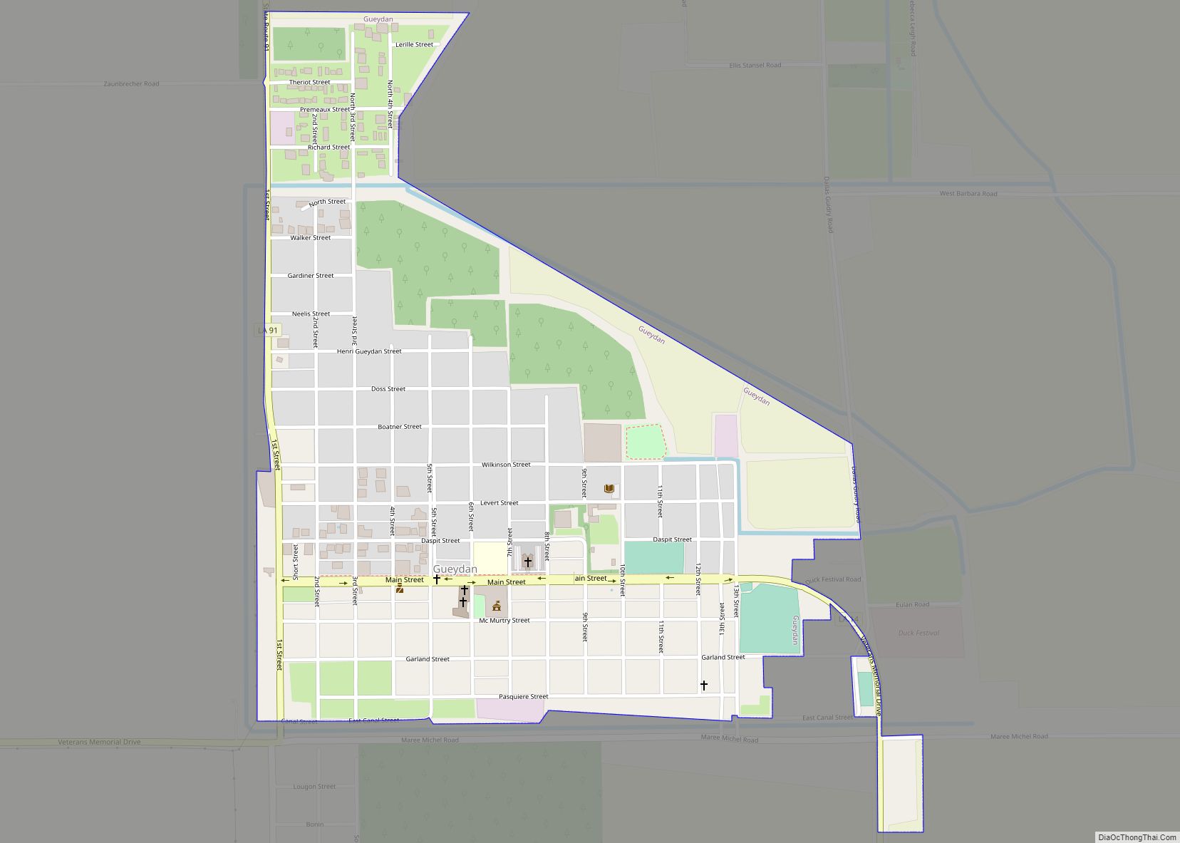
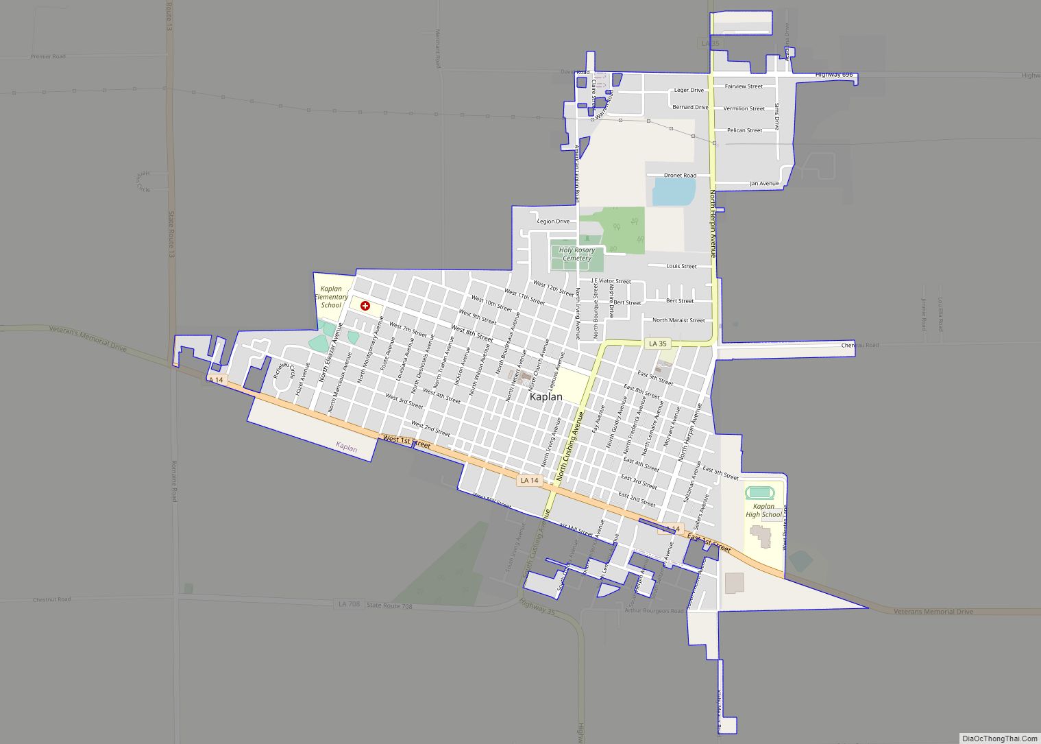
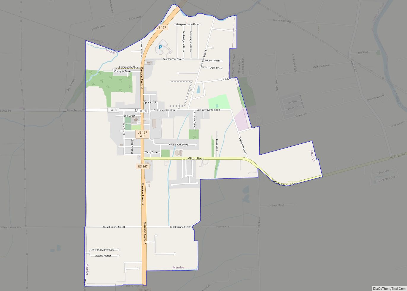
Communities
- Boston
- Camille
- Charogne
- Forked Island
- Grosse Isle
- Henry
- Leblanc
- Leroy
- Indian Bayou
- Intracoastal City
- Meaux
- Pecan Island
- Perry
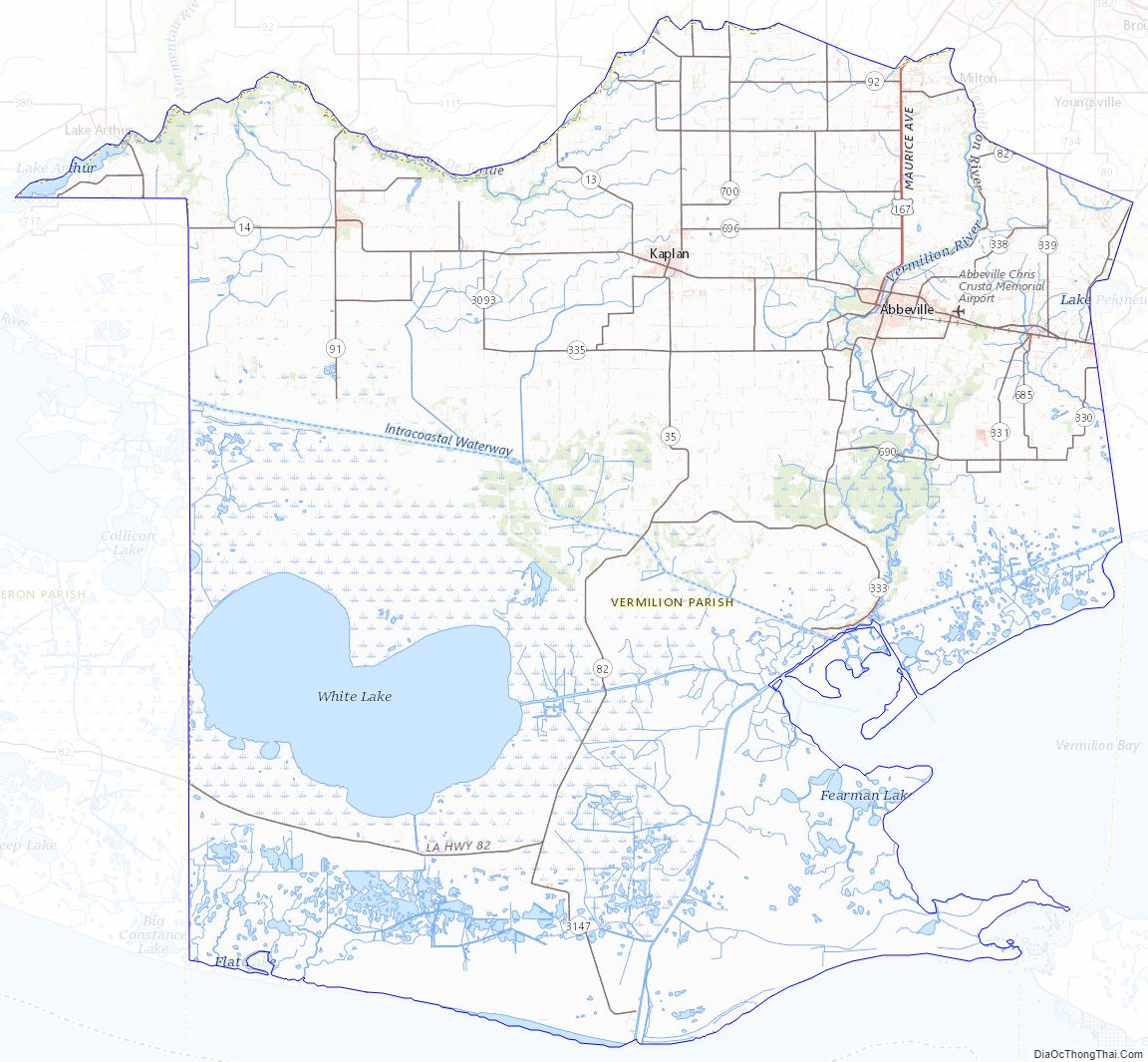
Vermilion Parish Topographic Map
Vermilion Parish Satellite Map
Vermilion Parish Outline Map