Abbeville is a city in, and the parish seat of, Vermilion Parish, Louisiana, United States, 150 miles (240 km) west of New Orleans and 60 miles (97 km) southwest of Baton Rouge. The population was 12,257 at the 2010 census. At the 2020 population estimates program, the population of the city was 11,927. Abbeville is the principal city of the Abbeville micropolitan statistical area, which includes all of Vermilion Parish. It is also part of the Lafayette metropolitan statistical area and the larger Lafayette–Acadiana combined statistical area.
| Name: | Abbeville city |
|---|---|
| LSAD Code: | 25 |
| LSAD Description: | city (suffix) |
| State: | Louisiana |
| County: | Vermilion Parish |
| Incorporated: | 1850 |
| Elevation: | 16 ft (5 m) |
| Total Area: | 6.08 sq mi (15.74 km²) |
| Land Area: | 6.05 sq mi (15.66 km²) |
| Water Area: | 0.03 sq mi (0.08 km²) |
| Total Population: | 11,186 |
| Population Density: | 1,849.84/sq mi (714.26/km²) |
| ZIP code: | 70510, 70511 |
| Area code: | 337 |
| FIPS code: | 2200100 |
| Website: | www.cityofabbeville.net |
Online Interactive Map
Click on ![]() to view map in "full screen" mode.
to view map in "full screen" mode.
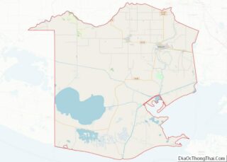
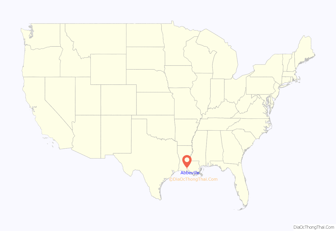
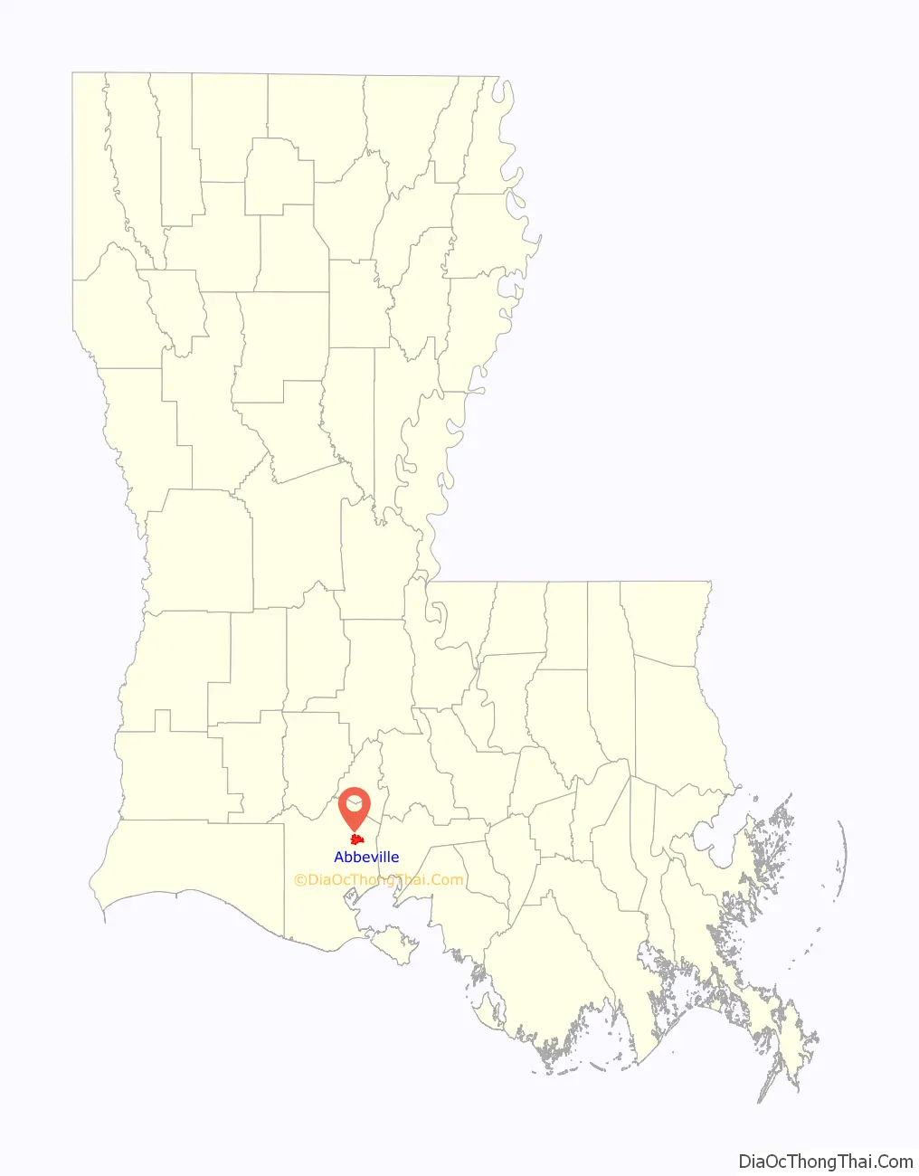
Abbeville location map. Where is Abbeville city?
History
Formerly called La Chapelle, the land that became Abbeville was purchased by founding father Père Antoine Désiré Mégret (“Père” is French for “Father”), a Capuchin missionary on July 25, 1843 for $900. There are two hypotheses as to how the town was named. The more generally accepted hypothesis is that Mégret named the town after his home in France. The second hypothesis states that it is a combination of “Abbé” (the French word for “Abbot”) for Abbé Mégret, and “ville” (the French word for “Town”) – hence Abbé’s town. Some support for the second theory can be found in the fact that the town in France is pronounced differently (as “Abbville”) by its denizens. However, in 1995, Jean Desobry discovered in the diocesan archives of Amiens evidence that Antoine Jacques Désiré Mégret was born on May 23, 1797 in Abbeville, France, thus confirming the first hypothesis. Dr Mary-Theresa MacCarthy wrote in her article Un Autre Abbeville in the 1996 edition of Bulletin de la Société des Antiquaires de Picardie (translation by Father Herbert),
Settlers were primarily descendants of the Acadians from Nova Scotia that moved to the area from 1766 to 1775. The town was incorporated in 1850. There were two people living on the land at the time, Joseph LeBlanc and his wife Isabelle Broussard, whose former home Father Megret converted into a chapel. The chapel burned in 1854 and, in 1910, St. Mary Magdalen Catholic Church was built, which still stands today.
Father Megret modeled his original plan for the village after a French Provincial village. In a map he designed in 1846, the town was 38 to 40 acres (160,000 m) in size. It was bounded on the north by St. Victor Boulevard, on the south by Lafayette Boulevard, on the east by “the Sisters of Charity”, and on the west by Bayou Vermilion. At this point in time the town was called “Abbville”.
The center of downtown is Magdalen Square, which is accented by large oak trees, a fountain, and gazebo. A statue in memory of Father Megret stands in the square. In 1856, the Last Island Hurricane destroyed every building in the town.
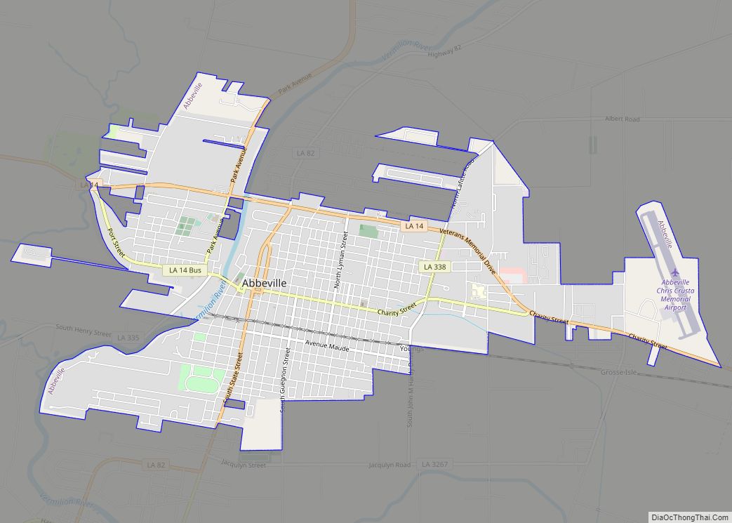
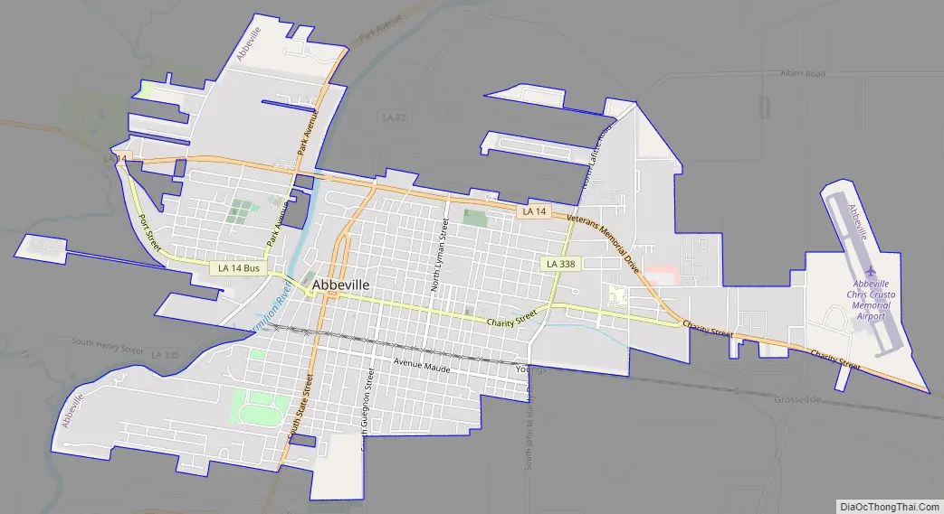
Abbeville Road Map
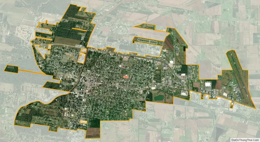
Abbeville city Satellite Map
Geography
Abbeville is located at 29°58′31.422″N 92°7′37.7652″W / 29.97539500°N 92.127157000°W / 29.97539500; -92.127157000 and has an elevation of 16 feet (4.9 m). According to the United States Census Bureau, the town has a total area of 5.7 square miles (14.7629 km), of which 5.7 square miles (15 km) is land and 0.04 square miles (0.10 km) (0.53%) is water. Abbeville is located near the southern terminus of U.S. Highway 167. Abbeville Chris Crusta Memorial Airport is in the eastern part of the city. The Vermilion River runs through downtown, and several canals and coulees run through other parts of Abbeville.
Climate
See also
Map of Louisiana State and its subdivision:- Acadia
- Allen
- Ascension
- Assumption
- Avoyelles
- Beauregard
- Bienville
- Bossier
- Caddo
- Calcasieu
- Caldwell
- Cameron
- Catahoula
- Claiborne
- Concordia
- De Soto
- East Baton Rouge
- East Carroll
- East Feliciana
- Evangeline
- Franklin
- Grant
- Iberia
- Iberville
- Jackson
- Jefferson
- Jefferson Davis
- La Salle
- Lafayette
- Lafourche
- Lincoln
- Livingston
- Madison
- Morehouse
- Natchitoches
- Orleans
- Ouachita
- Plaquemines
- Pointe Coupee
- Rapides
- Red River
- Richland
- Sabine
- Saint Bernard
- Saint Charles
- Saint Helena
- Saint James
- Saint John the Baptist
- Saint Landry
- Saint Martin
- Saint Mary
- Saint Tammany
- Tangipahoa
- Tensas
- Terrebonne
- Union
- Vermilion
- Vernon
- Washington
- Webster
- West Baton Rouge
- West Carroll
- West Feliciana
- Winn
- Alabama
- Alaska
- Arizona
- Arkansas
- California
- Colorado
- Connecticut
- Delaware
- District of Columbia
- Florida
- Georgia
- Hawaii
- Idaho
- Illinois
- Indiana
- Iowa
- Kansas
- Kentucky
- Louisiana
- Maine
- Maryland
- Massachusetts
- Michigan
- Minnesota
- Mississippi
- Missouri
- Montana
- Nebraska
- Nevada
- New Hampshire
- New Jersey
- New Mexico
- New York
- North Carolina
- North Dakota
- Ohio
- Oklahoma
- Oregon
- Pennsylvania
- Rhode Island
- South Carolina
- South Dakota
- Tennessee
- Texas
- Utah
- Vermont
- Virginia
- Washington
- West Virginia
- Wisconsin
- Wyoming