Norris is a city in Anderson County, Tennessee, United States. Its population was 1,599 at the 2020 census. It is included in the Knoxville, Tennessee Metropolitan Statistical Area.
Norris was built as a model planned community by the Tennessee Valley Authority (TVA) in 1933 to house workers building Norris Dam on the Clinch River. It is named in honor of Nebraska Senator George W. Norris, a long-term supporter of the TVA.
| Name: | Norris city |
|---|---|
| LSAD Code: | 25 |
| LSAD Description: | city (suffix) |
| State: | Tennessee |
| County: | Anderson County |
| Incorporated: | 1949 |
| Elevation: | 1,079 ft (329 m) |
| Total Area: | 8.33 sq mi (21.58 km²) |
| Land Area: | 8.33 sq mi (21.58 km²) |
| Water Area: | 0.00 sq mi (0.00 km²) |
| Total Population: | 1,599 |
| Population Density: | 191.89/sq mi (74.09/km²) |
| ZIP code: | 37705, 37828 |
| Area code: | 865 |
| FIPS code: | 4753600 |
| GNISfeature ID: | 1295831 |
| Website: | www.cityofnorris.com |
Online Interactive Map
Click on ![]() to view map in "full screen" mode.
to view map in "full screen" mode.
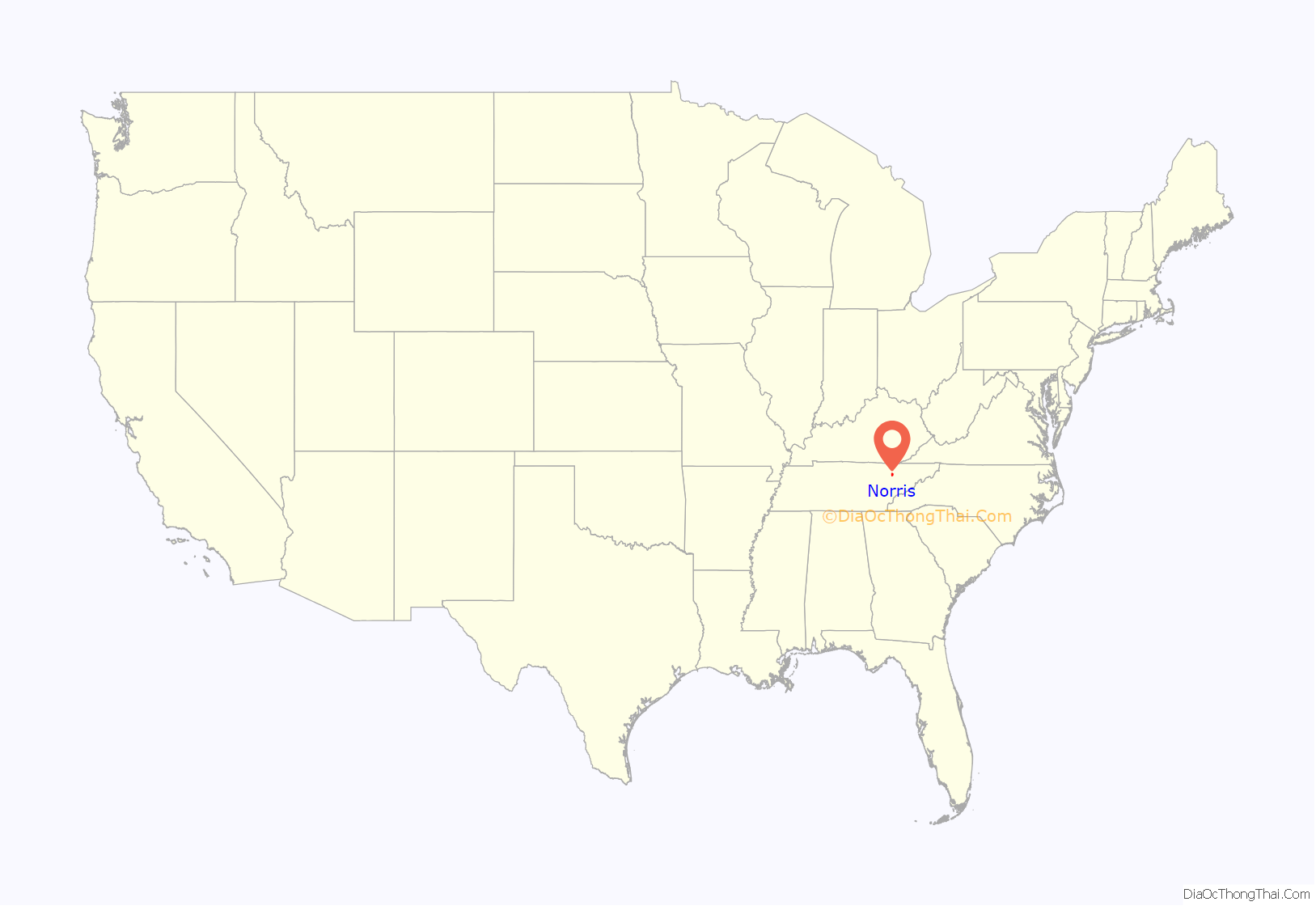
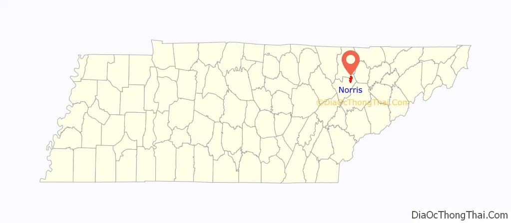
Norris location map. Where is Norris city?
History
TVA chairman Arthur Morgan envisioned Norris as a model of cooperative, egalitarian living. The city design was developed by TVA staff, who loosely based their design on the English garden city movement of the 1890s. Winding roads followed the contour of the terrain. Houses did not always face the street. A central common green and a belt of rural land around the town were reserved for use by residents. The houses, which were some of the first all-electric homes, were built using local wood and stone, according to twelve basic house designs that each included a porch and fireplace. Different exterior materials were used for visual variety.
Norris represents the first use of greenbelt design principles in a self-contained town in the United States. The town was the first in Tennessee to have a complete system of dial telephones. Norris Creamery was the first milk-producing plant in the world to be powered solely by electricity.
During the 1930s, TVA officials excluded black families from the city, effectively making it a sundown town, purportedly to conform to the customs and traditions of the area. However, black leaders said that poor whites and blacks had lived and worked together in the area long before the TVA came into existence. The National Association for the Advancement of Colored People (NAACP) complained repeatedly (in 1934, 1935 and 1938) about racial discrimination by the TVA in the hiring, housing and training of blacks.
In 1948 the U.S. Congress directed that the city be sold at public auction. It was purchased for US$2.1 million by a Philadelphia investment group headed by Henry D. Epstein, which then sold individual homes to their residents. The city was officially incorporated in 1949. In 1953 the Epstein group sold its remaining Norris real estate to a corporation formed by Norris residents and known as the Norris Corporation.
The town, including 340 buildings and an area of about 4,000 acres (16 km), was added to the National Register of Historic Places in 1975 as an historic district, designated the Norris District.
Today Norris primarily serves as a bedroom community for Knoxville and Oak Ridge. Services available within the community include one elementary school serving grades K-5, one middle school serving grades 6–8, a small grocer, and many other small businesses. The community’s high school students attend Anderson County High School.
The Museum of Appalachia, founded by John Rice Irwin, is a popular attraction in Norris. Norris is a short distance from Norris Dam State Park, part of which is in the city, and Big Ridge State Park, which include popular camping areas.
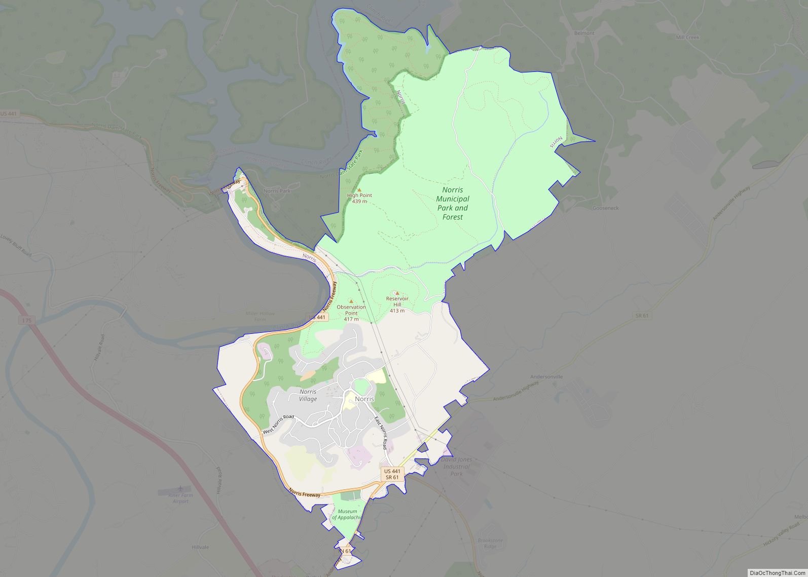
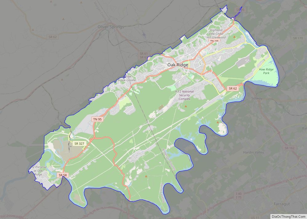
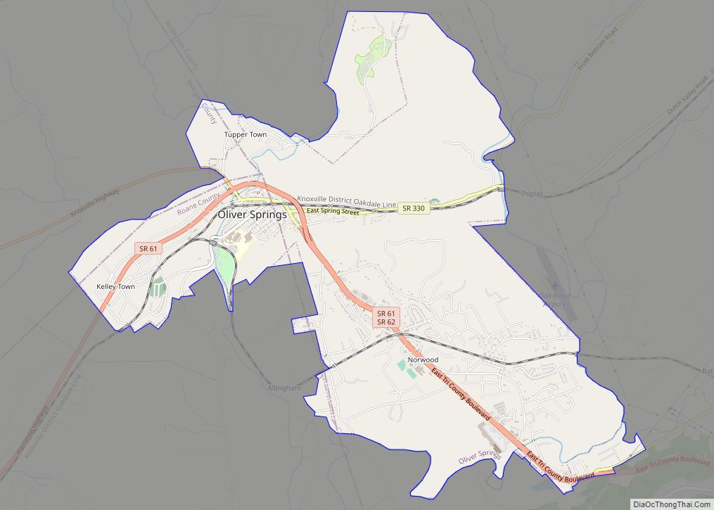
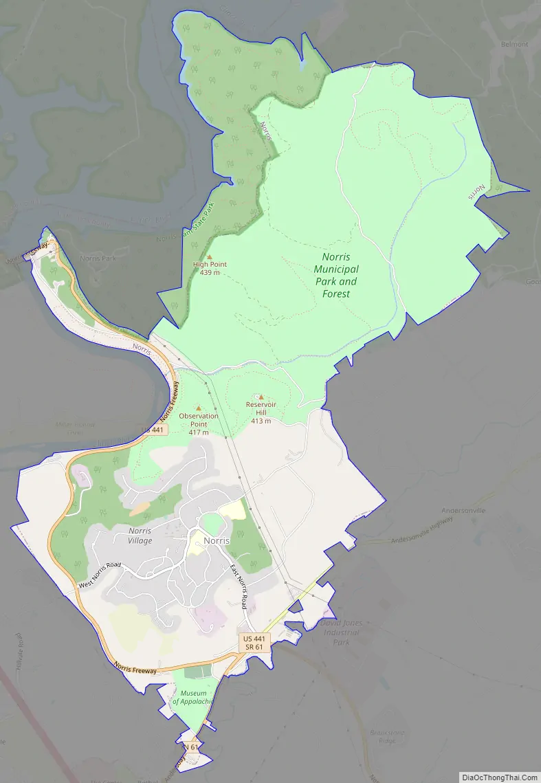
Norris Road Map
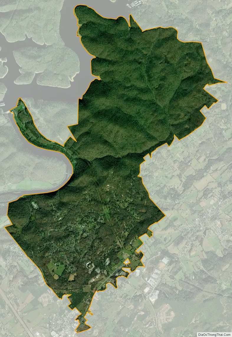
Norris city Satellite Map
Geography
Norris is located in northern Anderson County at 36°11′58″N 84°4′9″W / 36.19944°N 84.06917°W / 36.19944; -84.06917 (36.199515, −84.069077), on a set of hills south of the Clinch River. U.S. Route 441, the Norris Freeway, arcs around the west side of the city, leading south 21 miles (34 km) to Knoxville and northwest 10 miles (16 km) to Rocky Top. Interstate 75 passes 2 miles (3 km) to the southwest of the city, with access via Tennessee State Route 61 from Exit 122.
According to the United States Census Bureau, the city has a total area of 7.2 square miles (18.6 km), all of it land. A large portion of this area is contained in the Norris Municipal Watershed, which has an area of more than 2,200 acres (8.9 km) and is managed for water supply, recreation, timber production, and wildlife, including deer hunting. There are nearly 20 miles (32 km) of recreation trails on the watershed area.
Climate
See also
Map of Tennessee State and its subdivision:- Anderson
- Bedford
- Benton
- Bledsoe
- Blount
- Bradley
- Campbell
- Cannon
- Carroll
- Carter
- Cheatham
- Chester
- Claiborne
- Clay
- Cocke
- Coffee
- Crockett
- Cumberland
- Davidson
- Decatur
- DeKalb
- Dickson
- Dyer
- Fayette
- Fentress
- Franklin
- Gibson
- Giles
- Grainger
- Greene
- Grundy
- Hamblen
- Hamilton
- Hancock
- Hardeman
- Hardin
- Hawkins
- Haywood
- Henderson
- Henry
- Hickman
- Houston
- Humphreys
- Jackson
- Jefferson
- Johnson
- Knox
- Lake
- Lauderdale
- Lawrence
- Lewis
- Lincoln
- Loudon
- Macon
- Madison
- Marion
- Marshall
- Maury
- McMinn
- McNairy
- Meigs
- Monroe
- Montgomery
- Moore
- Morgan
- Obion
- Overton
- Perry
- Pickett
- Polk
- Putnam
- Rhea
- Roane
- Robertson
- Rutherford
- Scott
- Sequatchie
- Sevier
- Shelby
- Smith
- Stewart
- Sullivan
- Sumner
- Tipton
- Trousdale
- Unicoi
- Union
- Van Buren
- Warren
- Washington
- Wayne
- Weakley
- White
- Williamson
- Wilson
- Alabama
- Alaska
- Arizona
- Arkansas
- California
- Colorado
- Connecticut
- Delaware
- District of Columbia
- Florida
- Georgia
- Hawaii
- Idaho
- Illinois
- Indiana
- Iowa
- Kansas
- Kentucky
- Louisiana
- Maine
- Maryland
- Massachusetts
- Michigan
- Minnesota
- Mississippi
- Missouri
- Montana
- Nebraska
- Nevada
- New Hampshire
- New Jersey
- New Mexico
- New York
- North Carolina
- North Dakota
- Ohio
- Oklahoma
- Oregon
- Pennsylvania
- Rhode Island
- South Carolina
- South Dakota
- Tennessee
- Texas
- Utah
- Vermont
- Virginia
- Washington
- West Virginia
- Wisconsin
- Wyoming