Kingsport is a city in Sullivan and Hawkins counties in the U.S. state of Tennessee. As of the 2020 census, its population was 55,442. Lying along the Holston River, Kingsport is commonly included in what is known as the Mountain Empire, which spans a portion of southwest Virginia and the mountainous counties in northeastern Tennessee. It is the largest city in the Kingsport–Bristol metropolitan area, which had a population of 307,614 in 2020. The metro area is a component of the larger Tri-Cities region of Tennessee and Virginia, with a population of 508,260 in 2020.
The name “Kingsport” is a simplification of “King’s Port”, originally referring to the area on the Holston River known as King’s Boat Yard, the head of navigation for the Tennessee Valley.
| Name: | Kingsport city |
|---|---|
| LSAD Code: | 25 |
| LSAD Description: | city (suffix) |
| State: | Tennessee |
| County: | Hawkins County, Sullivan County |
| Elevation: | 1,211 ft (369 m) |
| Land Area: | 52.60 sq mi (136.24 km²) |
| Water Area: | 0.92 sq mi (2.38 km²) |
| Population Density: | 1,053.95/sq mi (406.93/km²) |
| ZIP code: | 37660, 37662, 37663, 37664, 37665 & 37669 |
| Area code: | 423 |
| FIPS code: | 4739560 |
| GNISfeature ID: | 1303478 |
| Website: | www.kingsporttn.gov |
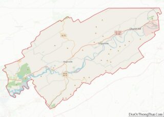
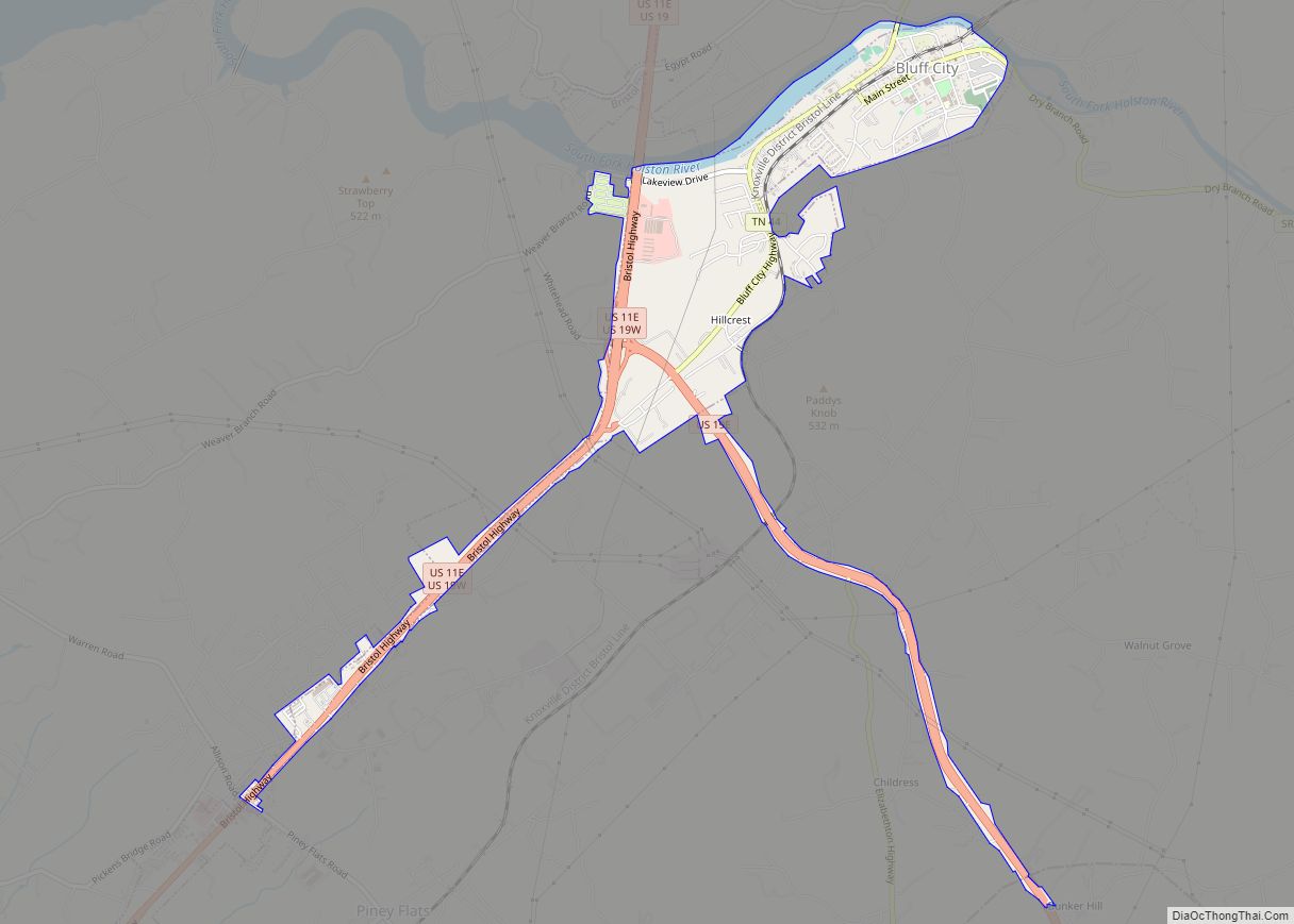
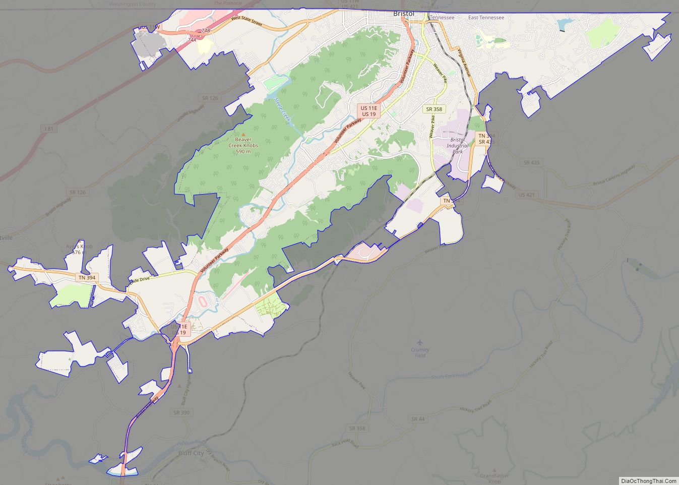
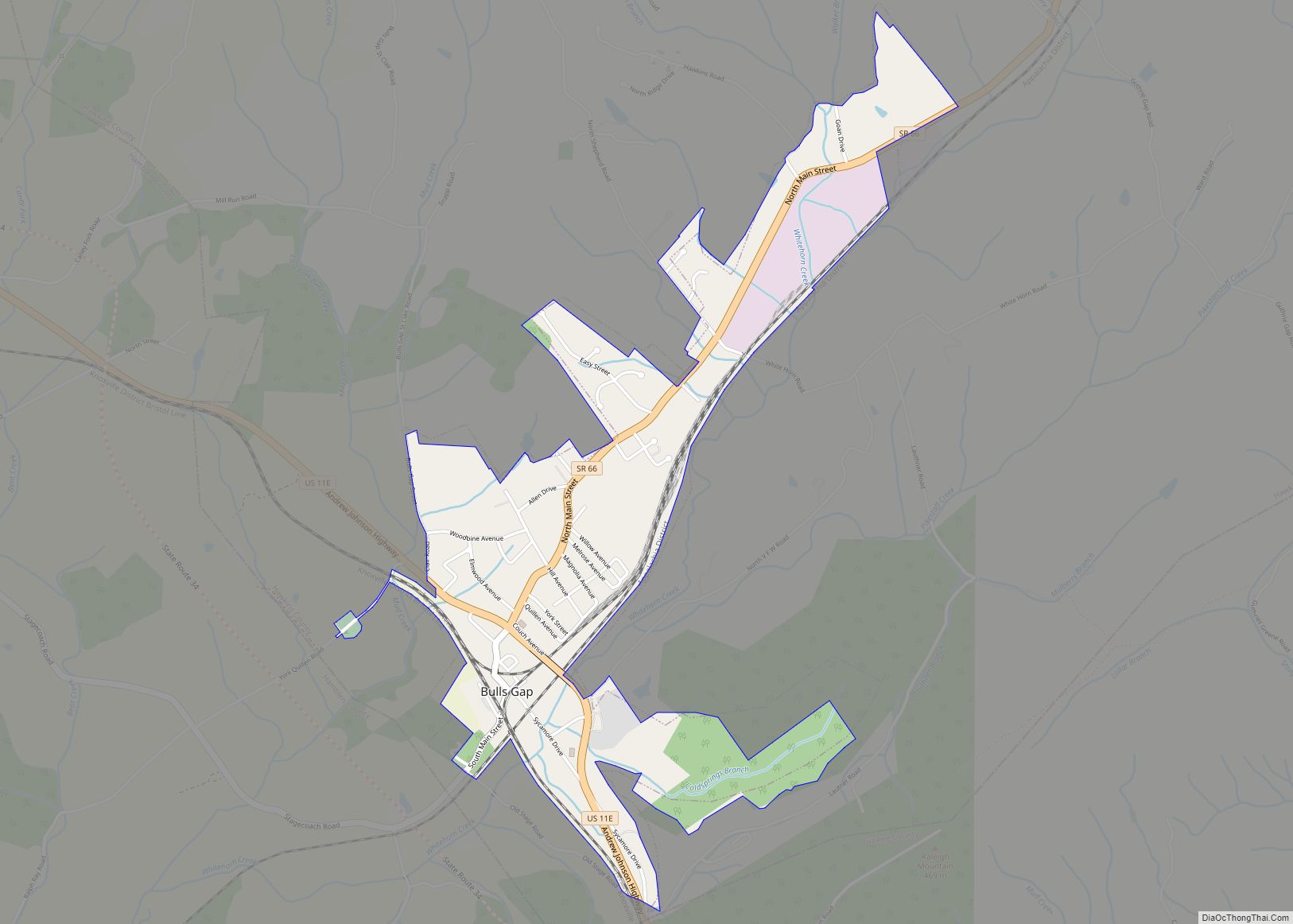
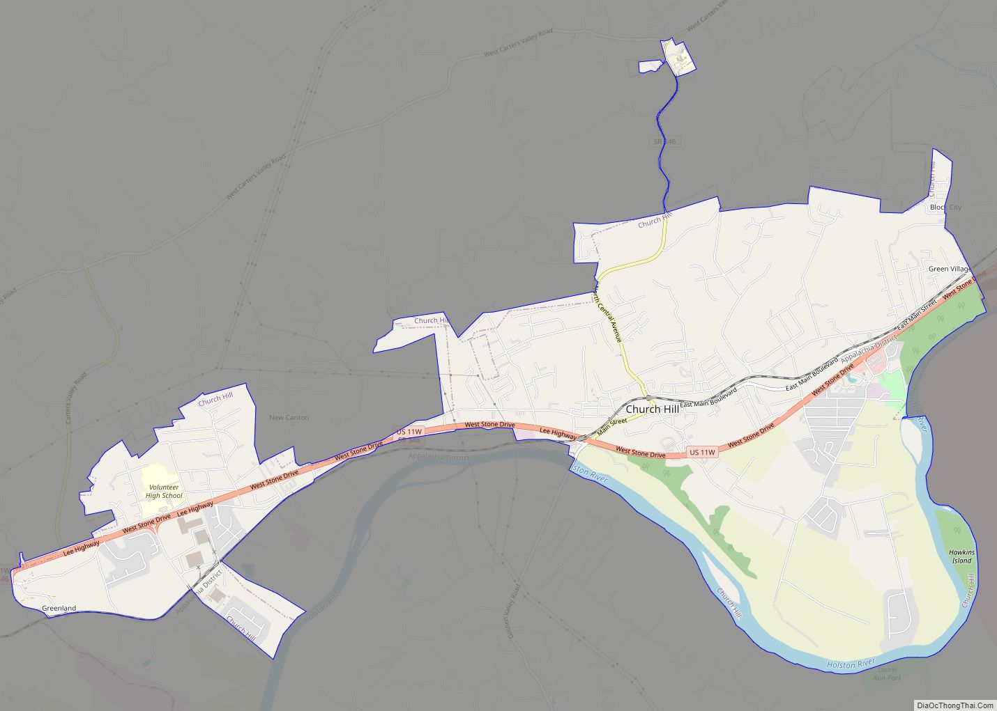
Online Interactive Map
Click on ![]() to view map in "full screen" mode.
to view map in "full screen" mode.
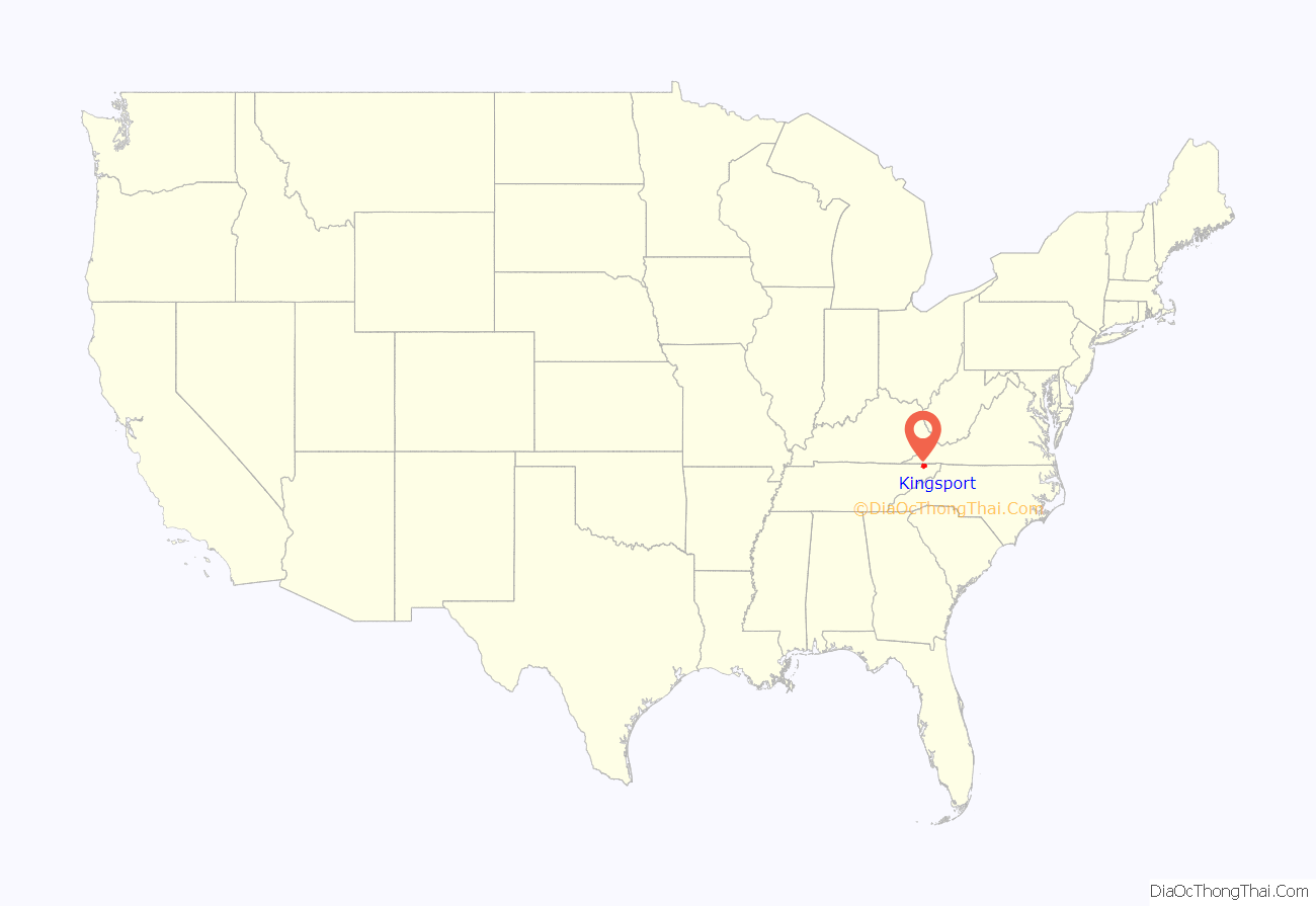
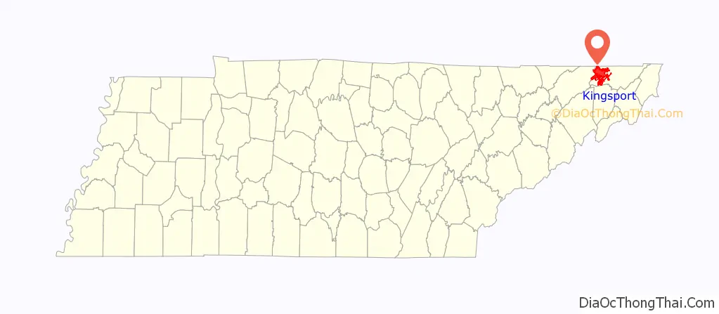
Kingsport location map. Where is Kingsport city?
History
Kingsport was developed after the Revolutionary War, at the confluence of the North and South Forks of the Holston River. In 1787 it was known as “Salt Lick” for an ancient mineral lick. It was first settled along the banks of the South Fork, about a mile from the confluence. The Long Island of the Holston River is near the confluence, which is mostly within the present-day corporate boundaries of Kingsport. The island was an important site for the Cherokee, colonial pioneers and early settlers, and specifically mentioned in the 1770 Treaty of Lochaber.
Early settlements at the site were used as a staging ground for other pioneers who were traveling overland on the Wilderness Road leading to Kentucky through the Cumberland Gap. First chartered in 1822, Kingsport became an important shipping port on the Holston River. Goods originating for many miles around from the surrounding countryside were loaded onto barges for the journey downriver to the Tennessee River at Knoxville.
In the Battle of Kingsport (December 13, 1864) during the Civil War, a force of 300 Confederates under Colonel Richard Morgan stopped a larger Union force for nearly two days. An army of over 5,500 troops under command of Major General George Stoneman had left Knoxville to raid Confederate targets in Virginia: the salt works at Saltville, the lead works at Wytheville, and the iron works in Marion. While Col. Morgan’s small band held off a main Union force under Major General Cullem Gillem on the opposite side the Holston River, Union Col. Samuel Patton took a force of cavalry to a ford in the river 2.5 miles (4.0 km) north and came down behind the Confederates. Out-numbered, out-flanked, and demoralised by the bitter winter weather, Col. Morgan surrendered. The Confederates suffered 18 dead, and 84 prisoners of war were sent to a Union prison in Knoxville.
The city lost its charter after a downturn in its fortunes precipitated by the Civil War.
On September 12, 1916, Kingsport residents demanded the death of circus elephant Mary (an Asian elephant that performed in the Sparks World-famous Shows Circus). She had killed city hotel worker Walter Eldridge, who was hired by the circus the day before as an assistant elephant trainer. Eldridge was attacked and killed by the elephant while he was leading her to a pond. The elephant was impounded by the local sheriff. Leaders of several nearby towns threatened to prevent the circus from performing if it included the elephant. The circus owner, Charlie Sparks, reluctantly decided that the only way to quickly resolve the situation was to hold a public execution. On the following day, she was transported by rail to Erwin, Tennessee, where a crowd of over 2,500 people assembled in the Clinchfield Railroad yard to watch her hang from a railroad crane.
Re-chartered in 1917, Kingsport was an early example of a “garden city”. Part of it was designed by city planner and landscape architect John Nolen of Cambridge, Massachusetts. It was nicknamed as the “Model City” from this plan, which organized the town into areas for commerce, churches, housing and industry. Most of the land on the river was devoted to industry. Most of the Long Island is now occupied by Eastman Chemical Company, which is headquartered in Kingsport. As part of this plan, Kingsport built some of the earliest traffic circles (roundabouts) in the United States.
Into the 1950s, two important public works projects were constructed: the Boone Dam and the Fort Patrick Henry Dam, hydroelectric dams built along the South Fork Holston River. Kingsport was among the first municipalities to adopt a city manager form of government, to professionalize operations of city departments. It developed its school system based on a model promoted by Columbia University. Pal’s Sudden Service, a regional fast-food restaurant chain, opened its first location in 1956 and is headquartered in Kingsport. In 2001, Pal’s Sudden Service, won the Malcolm Baldrige National Quality Award, becoming the first restaurant company to receive the award.
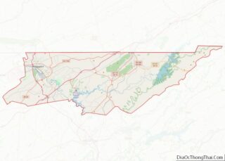
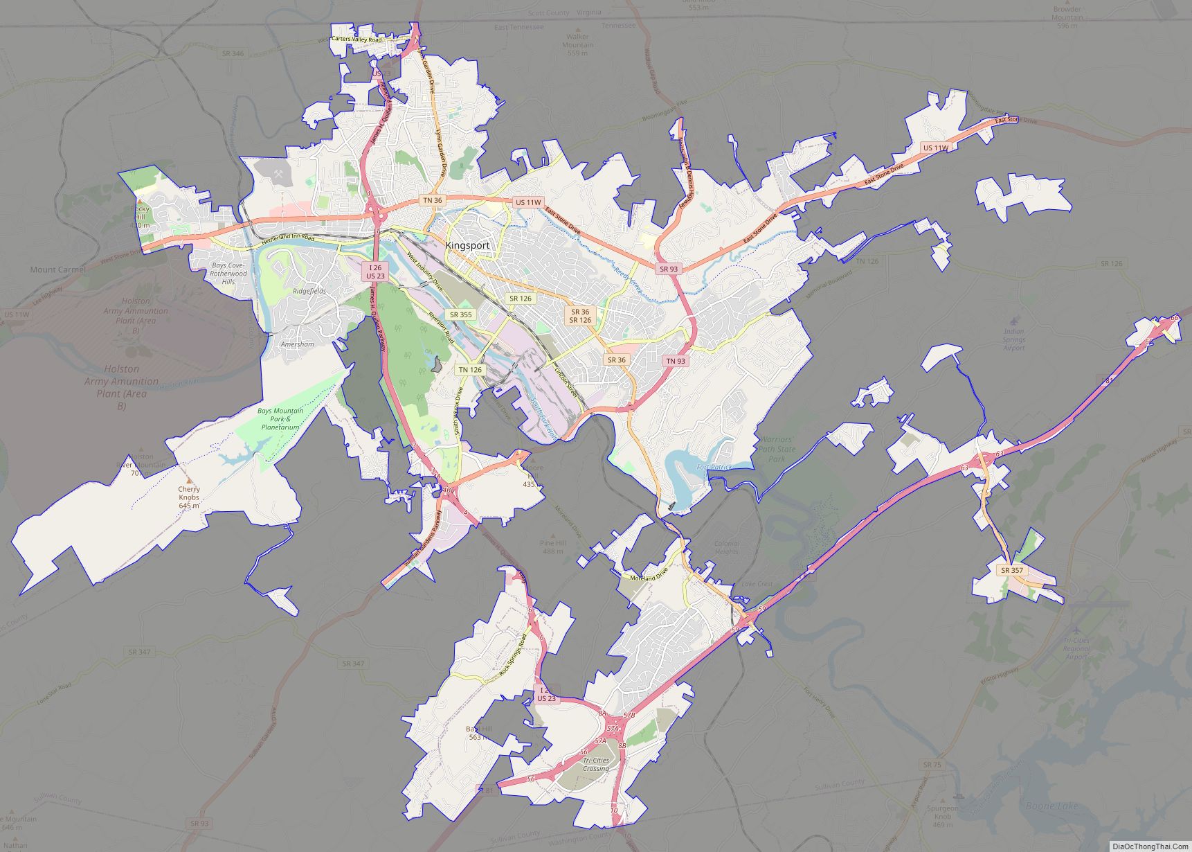
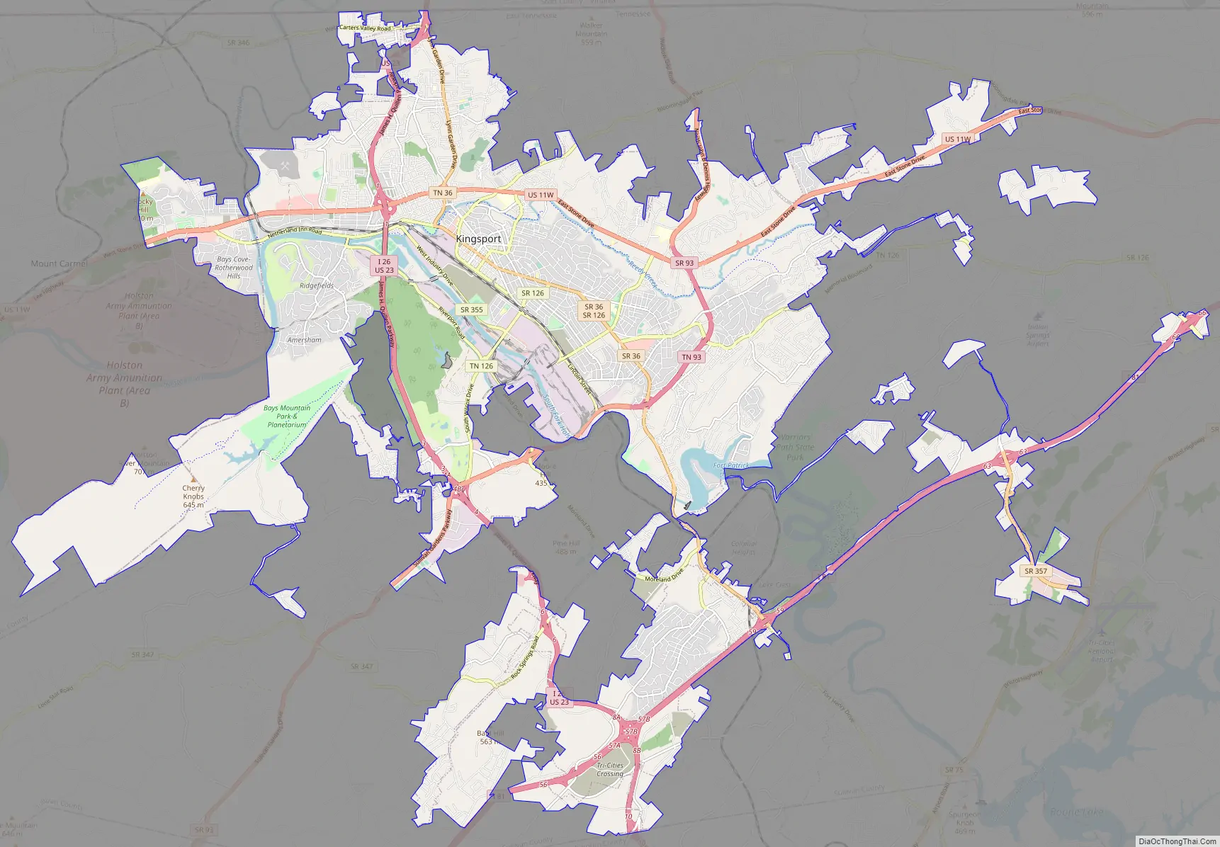
Kingsport Road Map
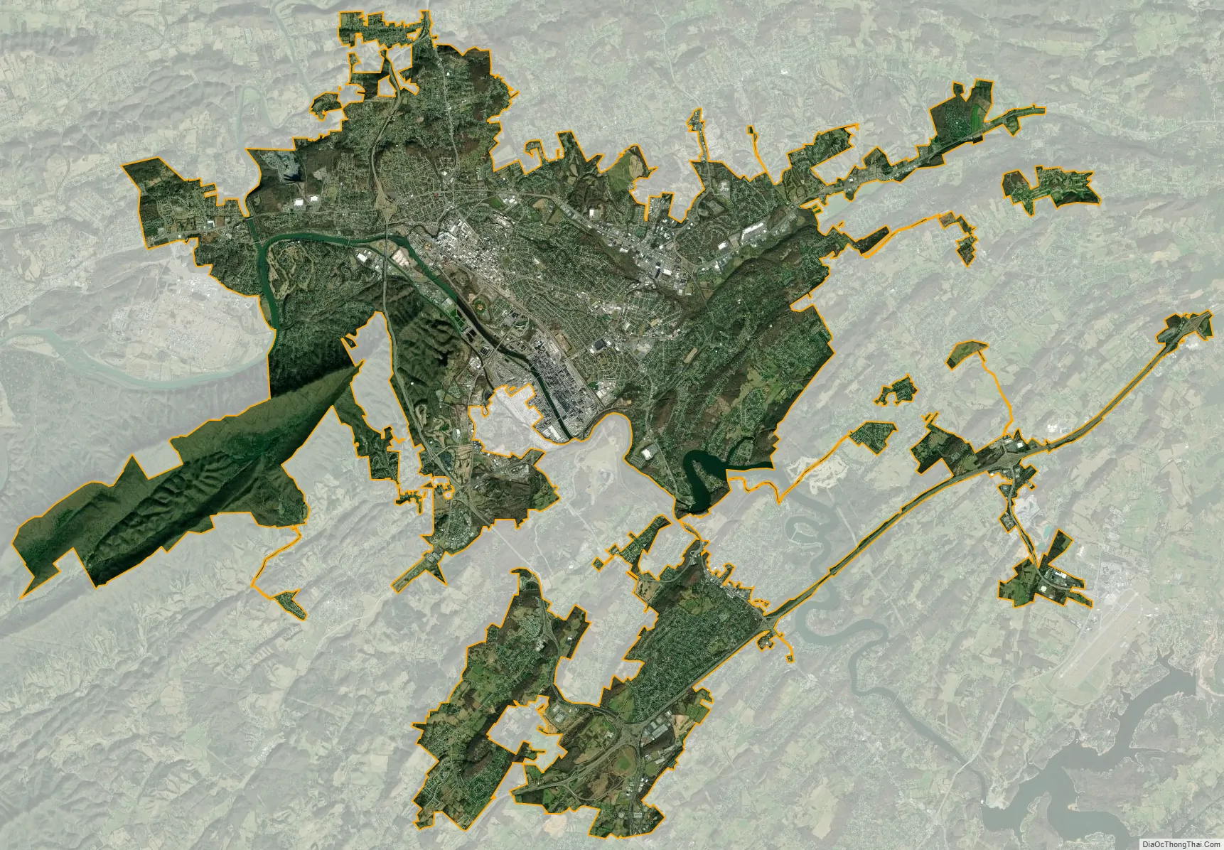
Kingsport city Satellite Map
Geography
Kingsport is located in western Sullivan County at 36°32′N 82°33′W / 36.533°N 82.550°W / 36.533; -82.550 (36.5369, −82.5421), at the intersection of U.S. Routes 11W and 23. Kingsport is the northwest terminus of Interstate 26. US 11W leads east 22 miles (35 km) to Bristol and southwest 28 miles (45 km) to Rogersville, while US 23 leads north 38 miles (61 km) to Big Stone Gap, Virginia. I-26 and US 23 lead south 8 miles (13 km) to Interstate 81 and 83 miles (134 km) to Asheville, North Carolina.
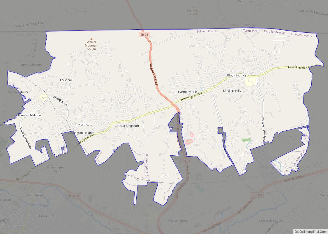
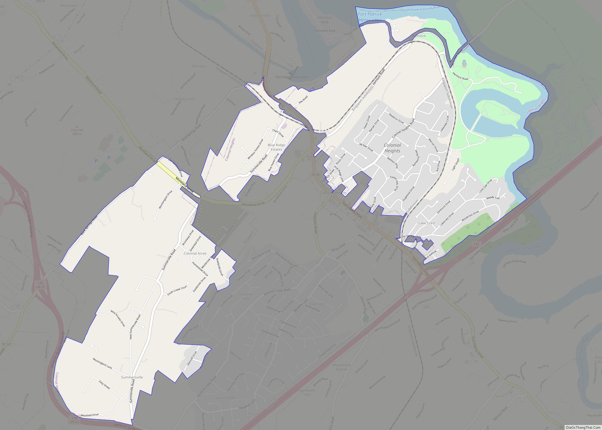
The city is bordered to the west by the town of Mount Carmel, to the southeast by unincorporated Colonial Heights, and to the northeast by unincorporated Bloomingdale. The Kingsport city limits extend west into Hawkins County and north to the Virginia border.
According to the United States Census Bureau, the city has a total area of 50.8 square miles (131.5 km), of which 49.8 square miles (129.0 km) are land and 0.93 square miles (2.4 km), or 1.86%, are water. Most of the water area is in the South Fork Holston River.
Climate
Neighborhoods
There are several neighborhoods located within or just outside of Kingsport, offering different lifestyles:
- Allandale
- Amersham
- Bloomingdale
- Borden Village
- Carter’s Valley
- Cliffside
- Colonial Heights
- Cooks Valley
- Downtown
- Edinburgh
- Fairacres
- Fort Robinson
- Gibson Town
- Green Acres
- Highland Park
- Hillcrest
- Huntington Hills
- Indian Springs (Fall Creek & Airport)
- Litz Manor
- Lynn Garden
- Malabar Heights
- Meadowview
- Midtown
- Morrison City
- Orebank
- Preston Forest
- Preston Hills
- Ridgefields
- Riverfront
- Riverview
- Rock Springs
- Sevier Terrace
- Sullivan Gardens
- Tellico Hills
- White City
See also
Map of Tennessee State and its subdivision:- Anderson
- Bedford
- Benton
- Bledsoe
- Blount
- Bradley
- Campbell
- Cannon
- Carroll
- Carter
- Cheatham
- Chester
- Claiborne
- Clay
- Cocke
- Coffee
- Crockett
- Cumberland
- Davidson
- Decatur
- DeKalb
- Dickson
- Dyer
- Fayette
- Fentress
- Franklin
- Gibson
- Giles
- Grainger
- Greene
- Grundy
- Hamblen
- Hamilton
- Hancock
- Hardeman
- Hardin
- Hawkins
- Haywood
- Henderson
- Henry
- Hickman
- Houston
- Humphreys
- Jackson
- Jefferson
- Johnson
- Knox
- Lake
- Lauderdale
- Lawrence
- Lewis
- Lincoln
- Loudon
- Macon
- Madison
- Marion
- Marshall
- Maury
- McMinn
- McNairy
- Meigs
- Monroe
- Montgomery
- Moore
- Morgan
- Obion
- Overton
- Perry
- Pickett
- Polk
- Putnam
- Rhea
- Roane
- Robertson
- Rutherford
- Scott
- Sequatchie
- Sevier
- Shelby
- Smith
- Stewart
- Sullivan
- Sumner
- Tipton
- Trousdale
- Unicoi
- Union
- Van Buren
- Warren
- Washington
- Wayne
- Weakley
- White
- Williamson
- Wilson
- Alabama
- Alaska
- Arizona
- Arkansas
- California
- Colorado
- Connecticut
- Delaware
- District of Columbia
- Florida
- Georgia
- Hawaii
- Idaho
- Illinois
- Indiana
- Iowa
- Kansas
- Kentucky
- Louisiana
- Maine
- Maryland
- Massachusetts
- Michigan
- Minnesota
- Mississippi
- Missouri
- Montana
- Nebraska
- Nevada
- New Hampshire
- New Jersey
- New Mexico
- New York
- North Carolina
- North Dakota
- Ohio
- Oklahoma
- Oregon
- Pennsylvania
- Rhode Island
- South Carolina
- South Dakota
- Tennessee
- Texas
- Utah
- Vermont
- Virginia
- Washington
- West Virginia
- Wisconsin
- Wyoming