Panhandle is the county seat of Carson County, Texas, United States. The population of the town was 2,452 at the 2010 census. Panhandle is part of the Amarillo metropolitan statistical area.
| Name: | Panhandle town |
|---|---|
| LSAD Code: | 43 |
| LSAD Description: | town (suffix) |
| State: | Texas |
| County: | Carson County |
| Elevation: | 3,458 ft (1,054 m) |
| Total Area: | 2.12 sq mi (5.50 km²) |
| Land Area: | 2.12 sq mi (5.50 km²) |
| Water Area: | 0.00 sq mi (0.00 km²) |
| Total Population: | 2,452 |
| Population Density: | 1,088.51/sq mi (420.30/km²) |
| ZIP code: | 79068 |
| Area code: | 806 |
| FIPS code: | 4854960 |
| GNISfeature ID: | 1364746 |
| Website: | www.panhandletx.govoffice2.com |
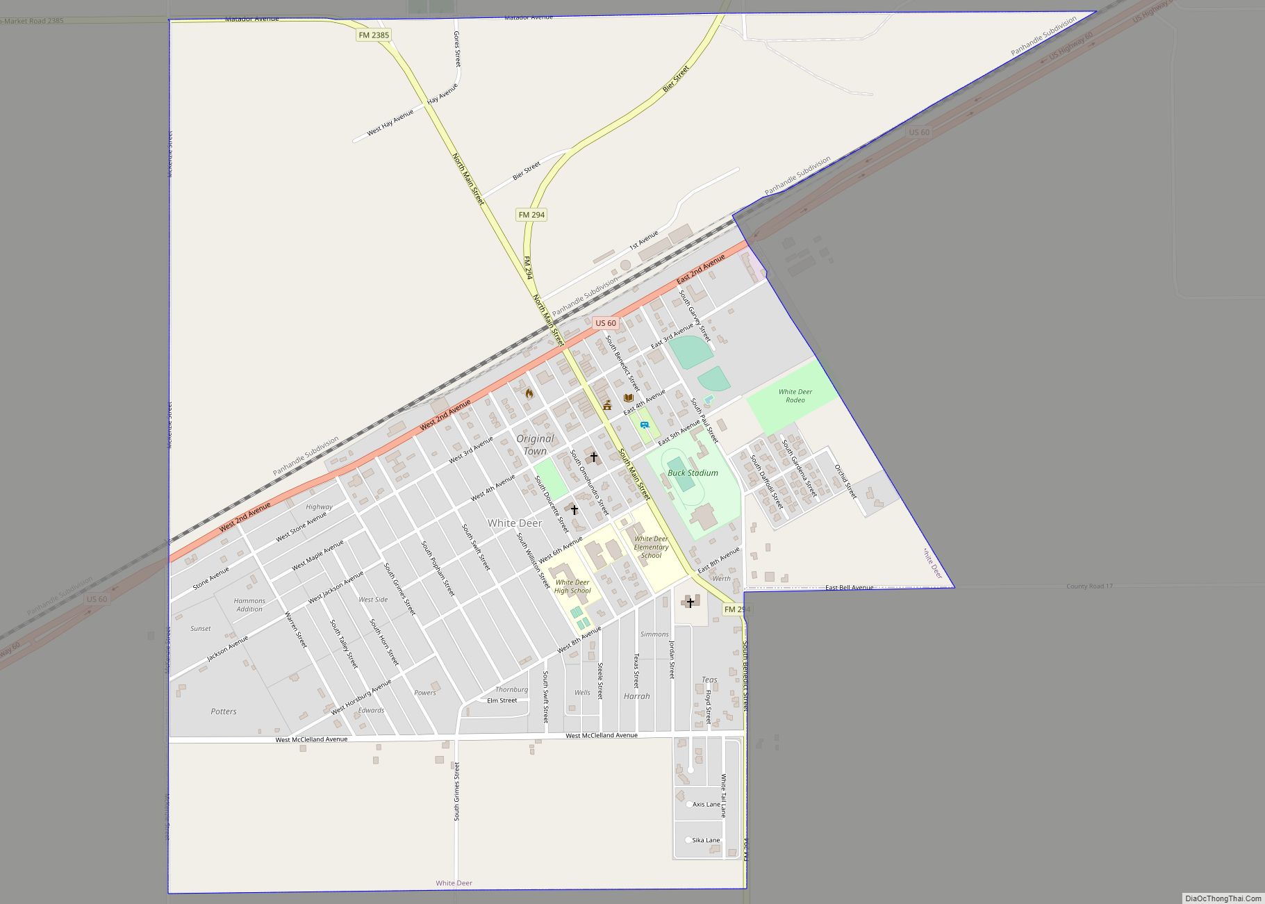
Online Interactive Map
Click on ![]() to view map in "full screen" mode.
to view map in "full screen" mode.
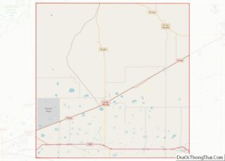
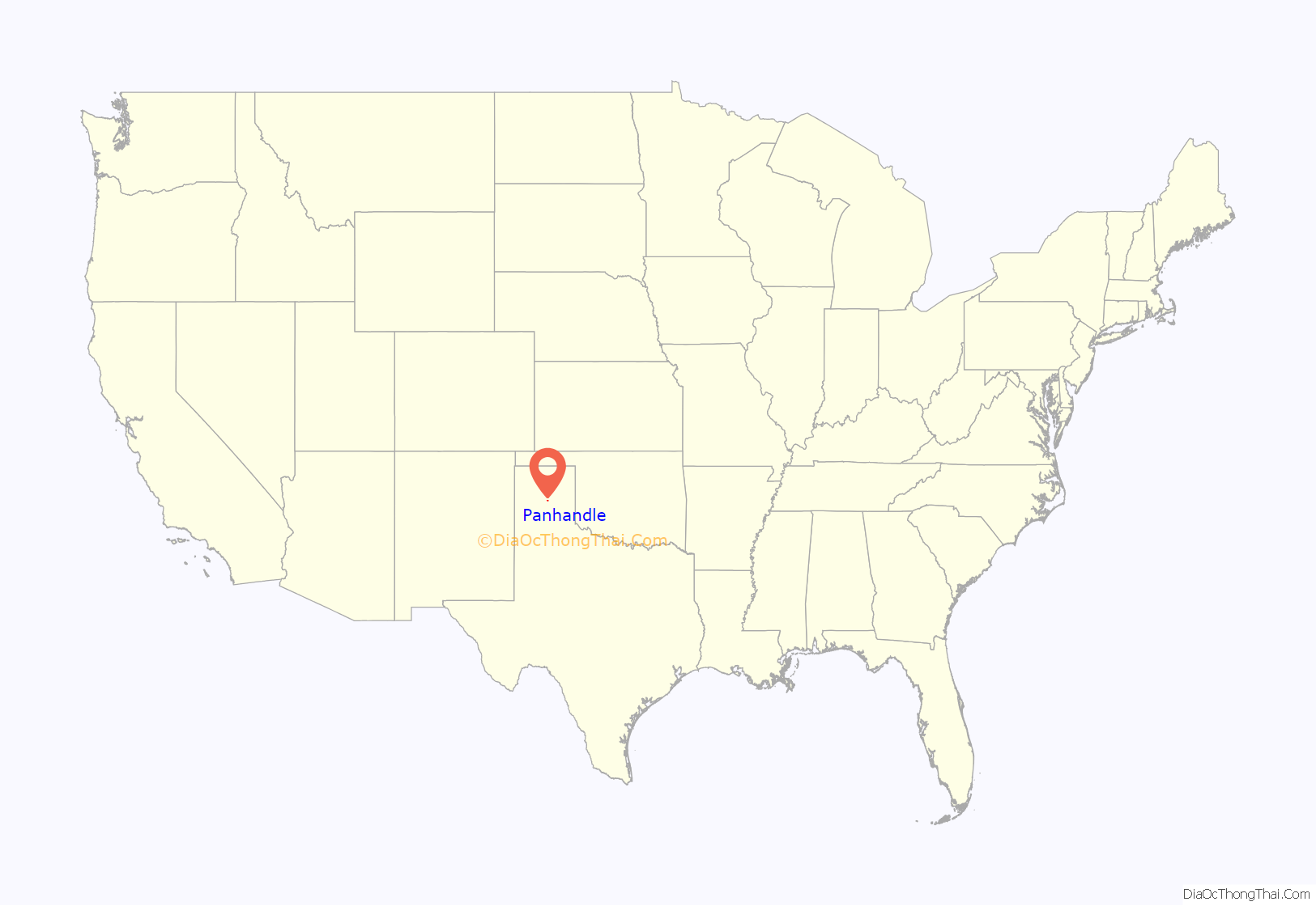
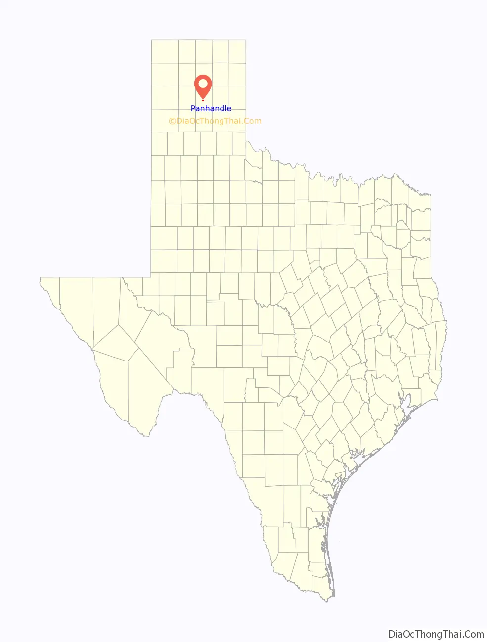
Panhandle location map. Where is Panhandle town?
History
Panhandle derives its name from its central location in the Texas Panhandle. Originally named “Carson City”, it was later changed to “Panhandle City”.
In 1887, Panhandle obtained a post office, and in 1888, the town was planned as the terminus of the Panhandle and Santa Fe Railway. At that time, the town was surrounded by several large cattle ranches. The community soon acquired a bank, a mercantile store, a wagonyard, a school, a newspaper, and three saloons.
In 1888, Carson County was organized, and Panhandle became the county seat. The area’s cattlemen were reconciled to the arrival of farmers because they produced needed forage crops, such as hay, and introduced more families with eligible young women for the cowboy bachelors of the cattle kingdom.
Panhandle was scandalized in 1897 after George E. Morrison, a preacher at the Methodist Episcopal Church, poisoned his wife Minnie with a strychnine-laced apple so that he could marry his mistress Miss Annie Whittlesey of Topeka, Kansas. Morrison was sentenced to die in the gallows at Vernon in Wilbarger County, Texas, his last words being: “Jesus, Lover of My Soul”.
In 1909, Panhandle voted to incorporate with a mayor-council government.
The population grew in the 1920s when Panhandle became the center of a natural gas field.
A new county courthouse was completed in 1950.
Panhandle continued to thrive in the 1980s as a regional marketing and shipping center for cattle, wheat, and petroleum products.
The Carson County Square House Museum is located inside the oldest house in Panhandle, and is listed on the National Register of Historic Places.
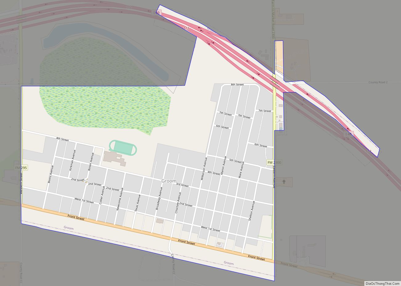
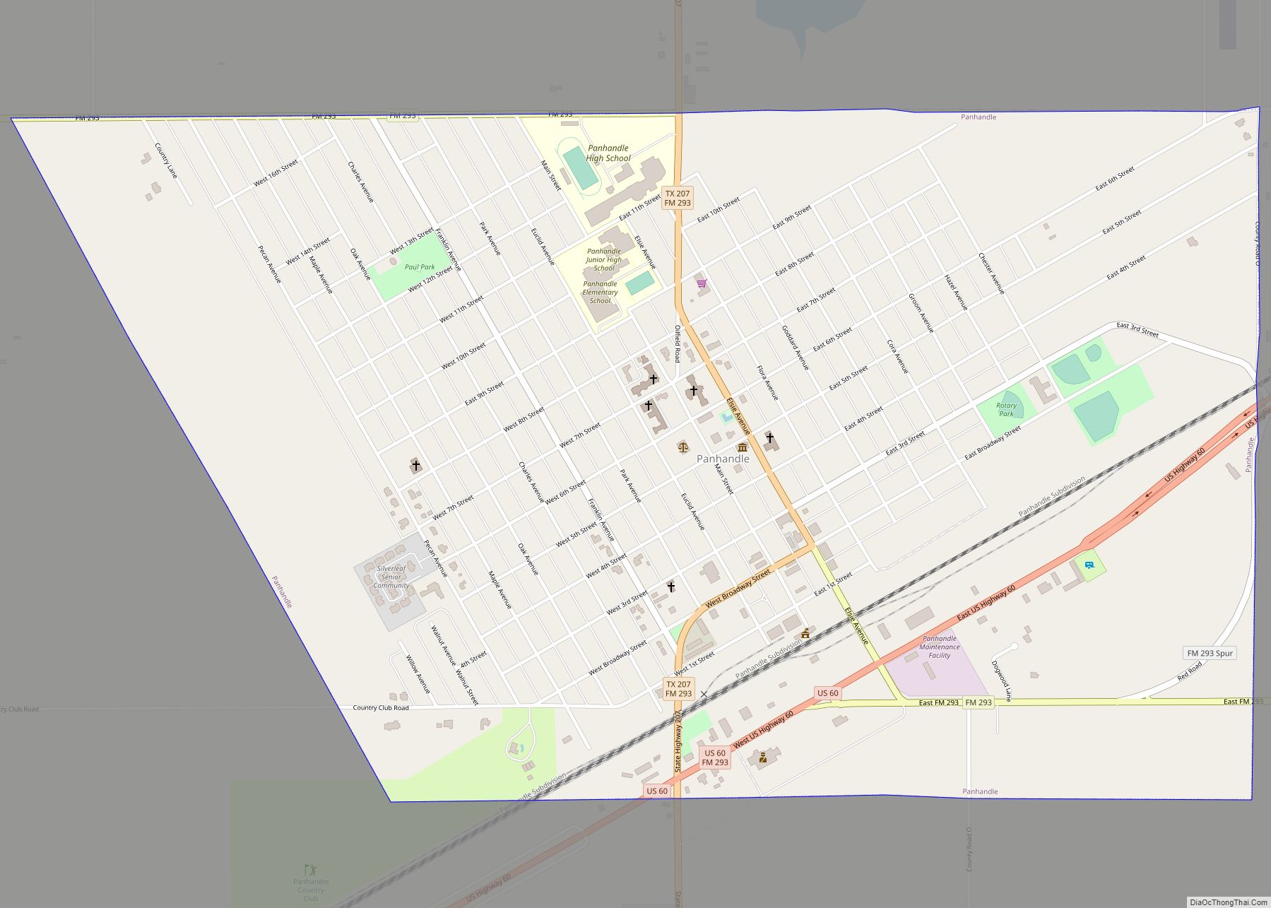
Panhandle Road Map
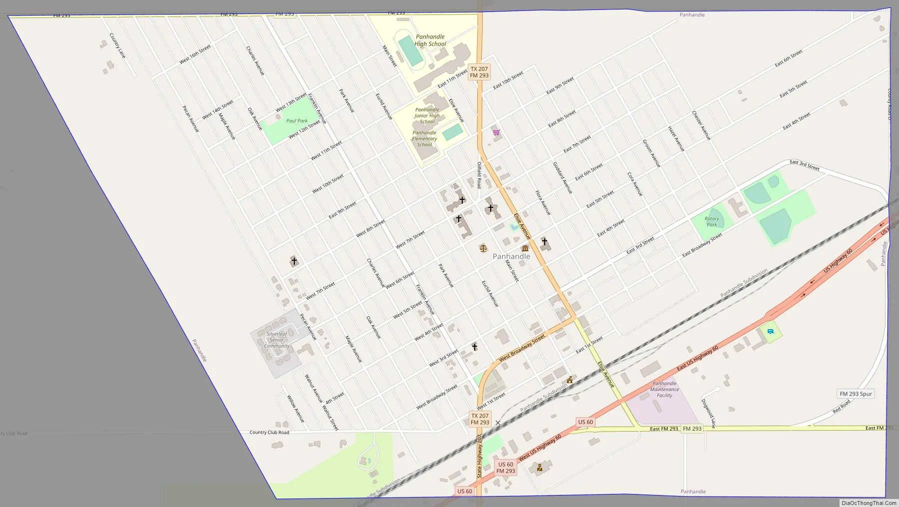
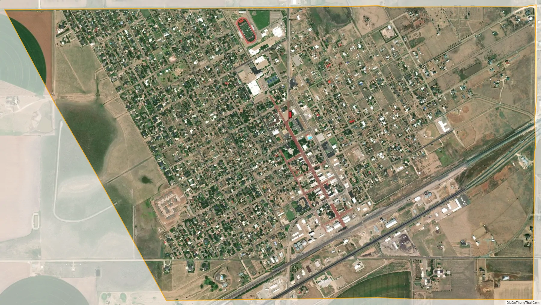
Panhandle city Satellite Map
Geography
Panhandle is located slightly south of the center of Carson County. U.S. Route 60 passes through the town, leading northeast 27 miles (43 km) to Pampa and southwest the same distance to Amarillo. Texas State Highway 207 crosses US 60 in Panhandle and passes through the center of town; it leads north 23 miles (37 km) to Borger and south 9 miles (14 km) to Interstate 40 at Conway.
According to the United States Census Bureau, Panhandle has a total area of 2.1 square miles (5.5 km), all of it land.
Climate
According to the Köppen climate classification system, the Panhandle has a semiarid climate, BSk on climate maps.
See also
Map of Texas State and its subdivision:- Anderson
- Andrews
- Angelina
- Aransas
- Archer
- Armstrong
- Atascosa
- Austin
- Bailey
- Bandera
- Bastrop
- Baylor
- Bee
- Bell
- Bexar
- Blanco
- Borden
- Bosque
- Bowie
- Brazoria
- Brazos
- Brewster
- Briscoe
- Brooks
- Brown
- Burleson
- Burnet
- Caldwell
- Calhoun
- Callahan
- Cameron
- Camp
- Carson
- Cass
- Castro
- Chambers
- Cherokee
- Childress
- Clay
- Cochran
- Coke
- Coleman
- Collin
- Collingsworth
- Colorado
- Comal
- Comanche
- Concho
- Cooke
- Coryell
- Cottle
- Crane
- Crockett
- Crosby
- Culberson
- Dallam
- Dallas
- Dawson
- Deaf Smith
- Delta
- Denton
- Dewitt
- Dickens
- Dimmit
- Donley
- Duval
- Eastland
- Ector
- Edwards
- El Paso
- Ellis
- Erath
- Falls
- Fannin
- Fayette
- Fisher
- Floyd
- Foard
- Fort Bend
- Franklin
- Freestone
- Frio
- Gaines
- Galveston
- Garza
- Gillespie
- Glasscock
- Goliad
- Gonzales
- Gray
- Grayson
- Gregg
- Grimes
- Guadalupe
- Hale
- Hall
- Hamilton
- Hansford
- Hardeman
- Hardin
- Harris
- Harrison
- Hartley
- Haskell
- Hays
- Hemphill
- Henderson
- Hidalgo
- Hill
- Hockley
- Hood
- Hopkins
- Houston
- Howard
- Hudspeth
- Hunt
- Hutchinson
- Irion
- Jack
- Jackson
- Jasper
- Jeff Davis
- Jefferson
- Jim Hogg
- Jim Wells
- Johnson
- Jones
- Karnes
- Kaufman
- Kendall
- Kenedy
- Kent
- Kerr
- Kimble
- King
- Kinney
- Kleberg
- Knox
- La Salle
- Lamar
- Lamb
- Lampasas
- Lavaca
- Lee
- Leon
- Liberty
- Limestone
- Lipscomb
- Live Oak
- Llano
- Loving
- Lubbock
- Lynn
- Madison
- Marion
- Martin
- Mason
- Matagorda
- Maverick
- McCulloch
- McLennan
- McMullen
- Medina
- Menard
- Midland
- Milam
- Mills
- Mitchell
- Montague
- Montgomery
- Moore
- Morris
- Motley
- Nacogdoches
- Navarro
- Newton
- Nolan
- Nueces
- Ochiltree
- Oldham
- Orange
- Palo Pinto
- Panola
- Parker
- Parmer
- Pecos
- Polk
- Potter
- Presidio
- Rains
- Randall
- Reagan
- Real
- Red River
- Reeves
- Refugio
- Roberts
- Robertson
- Rockwall
- Runnels
- Rusk
- Sabine
- San Augustine
- San Jacinto
- San Patricio
- San Saba
- Schleicher
- Scurry
- Shackelford
- Shelby
- Sherman
- Smith
- Somervell
- Starr
- Stephens
- Sterling
- Stonewall
- Sutton
- Swisher
- Tarrant
- Taylor
- Terrell
- Terry
- Throckmorton
- Titus
- Tom Green
- Travis
- Trinity
- Tyler
- Upshur
- Upton
- Uvalde
- Val Verde
- Van Zandt
- Victoria
- Walker
- Waller
- Ward
- Washington
- Webb
- Wharton
- Wheeler
- Wichita
- Wilbarger
- Willacy
- Williamson
- Wilson
- Winkler
- Wise
- Wood
- Yoakum
- Young
- Zapata
- Zavala
- Alabama
- Alaska
- Arizona
- Arkansas
- California
- Colorado
- Connecticut
- Delaware
- District of Columbia
- Florida
- Georgia
- Hawaii
- Idaho
- Illinois
- Indiana
- Iowa
- Kansas
- Kentucky
- Louisiana
- Maine
- Maryland
- Massachusetts
- Michigan
- Minnesota
- Mississippi
- Missouri
- Montana
- Nebraska
- Nevada
- New Hampshire
- New Jersey
- New Mexico
- New York
- North Carolina
- North Dakota
- Ohio
- Oklahoma
- Oregon
- Pennsylvania
- Rhode Island
- South Carolina
- South Dakota
- Tennessee
- Texas
- Utah
- Vermont
- Virginia
- Washington
- West Virginia
- Wisconsin
- Wyoming