Bountiful is a city in Davis County, Utah. As of the 2010 census, the city population was 42,552, a three percent increase over the 2000 figure of 41,301. The city grew rapidly during the suburb growth of the late 1940s, 1950s, and 1960s and was Davis County’s largest city until 1985, when it was surpassed by Layton. Bountiful is Utah’s 15th-largest city.
Although a part of the Ogden–Clearfield metropolitan area, it serves as a bedroom community to Salt Lake City and the surrounding area. However, due to the very narrow entrance into Salt Lake County, roads between the counties often reach near-gridlock traffic during rush hour. The FrontRunner commuter rail has been running since April 2008, and the Legacy Parkway was opened on September 13, 2008. These were built to help alleviate the traffic load on Interstate 15 through the Bountiful area.
| Name: | Bountiful city |
|---|---|
| LSAD Code: | 25 |
| LSAD Description: | city (suffix) |
| State: | Utah |
| County: | Davis County |
| Incorporated: | 1892 |
| Elevation: | 4,797 ft (1,462 m) |
| Total Area: | 13.22 sq mi (34.23 km²) |
| Land Area: | 13.19 sq mi (34.17 km²) |
| Water Area: | 0.02 sq mi (0.06 km²) |
| Total Population: | 42,552 |
| Population Density: | 3,333.41/sq mi (1,287.07/km²) |
| ZIP code: | 84010, 84011 |
| FIPS code: | 4907690 |
| GNISfeature ID: | 2409885 |
| Website: | http://bountifulutah.gov |
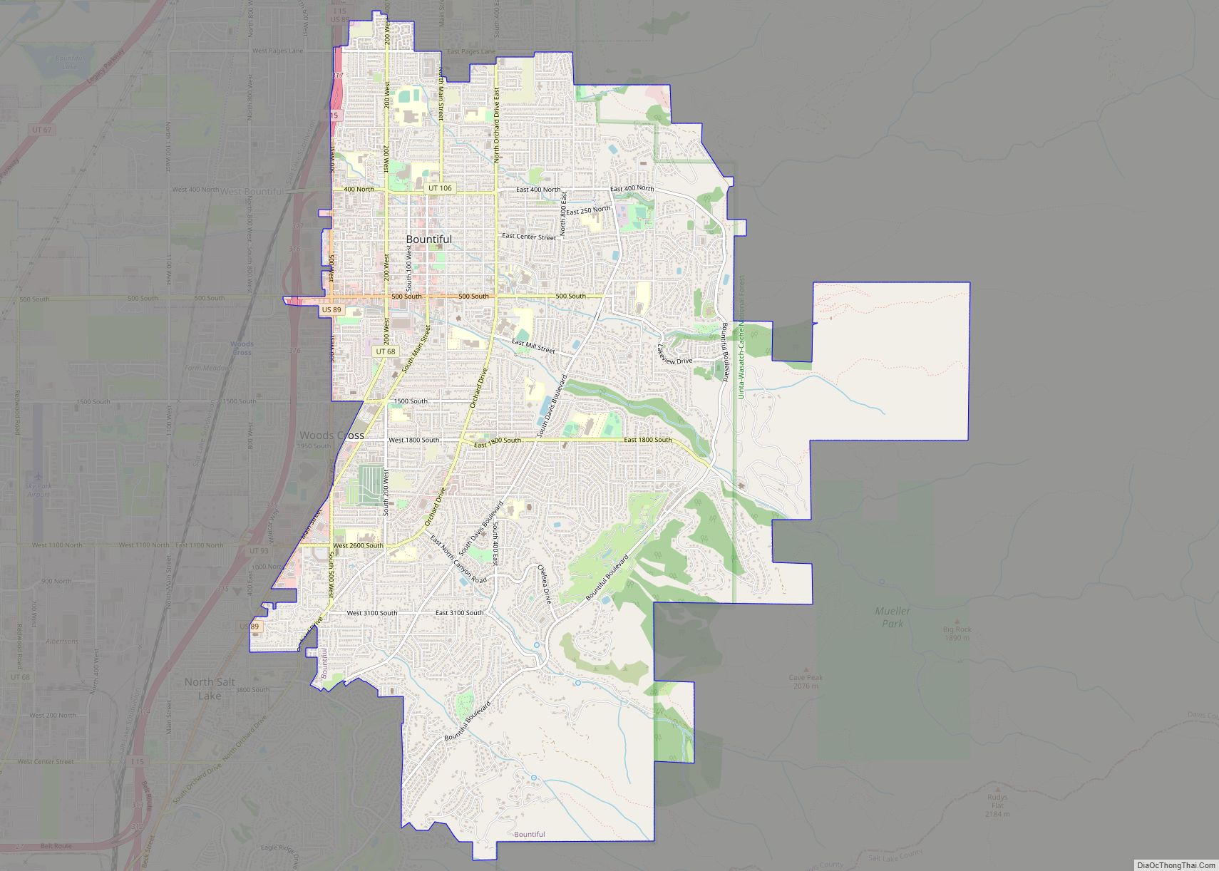
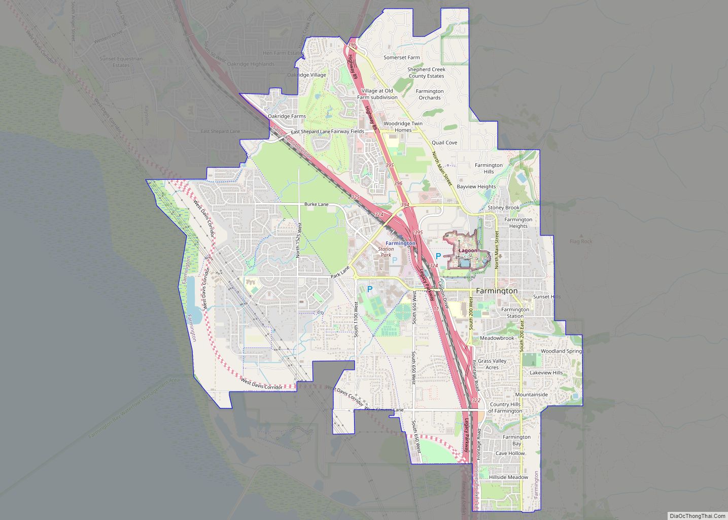
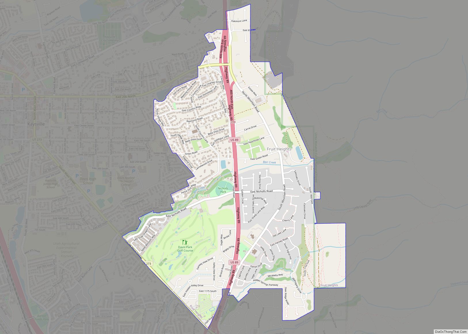
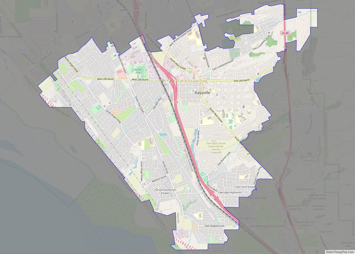
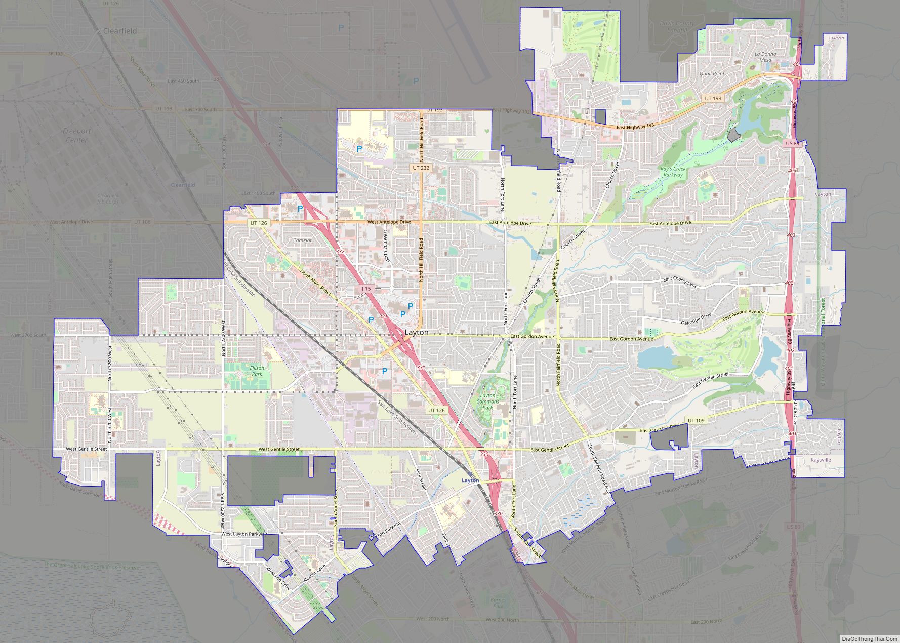
Online Interactive Map
Click on ![]() to view map in "full screen" mode.
to view map in "full screen" mode.
Bountiful location map. Where is Bountiful city?


History
Bountiful was settled on September 27, 1847, by Peregrine Sessions and his family. It was Utah’s second settlement after Salt Lake City. It was known as Sessions Settlement and North Canyon Ward before being named Bountiful in 1855. This city was so named both because of the city’s reputation as a great place for gardening and because “Bountiful” is the name of a city in the Book of Mormon (Alma 52:9). Most of the settlers, and also many of the present inhabitants, are members of the Church of Jesus Christ of Latter-day Saints (LDS). The city also shares 14 other religious institutions, including a Catholic school and church, Saint Olaf School, established in 1959. The Bountiful Utah Temple was dedicated in 1995 by the LDS Church. A tabernacle of The Church of Jesus Christ of Latter-day Saints is also located in Bountiful.
The city was incorporated in 1892 with Joseph L Holbrook as mayor.
In 1907 electric lights came to Bountiful through the efforts of its citizens.
Serial killer Ted Bundy snatched victim Debra Kent from Viewmont High School in Bountiful on November 8, 1974.
The city celebrates its history at the annual Handcart Days celebration every July in conjunction with the U.S. State of Utah’s official holiday, Pioneer Day. Bountiful Handcart Days is a volunteer-driven event. People from three cities in the south of Davis County, Utah come together to commemorate the first group of Mormon Pioneers’ entry into the Salt Lake Valley on July 24, 1847. The festivities include a parade, fireworks, games, entertainment, an art exhibit, and food.
Bountiful Road Map
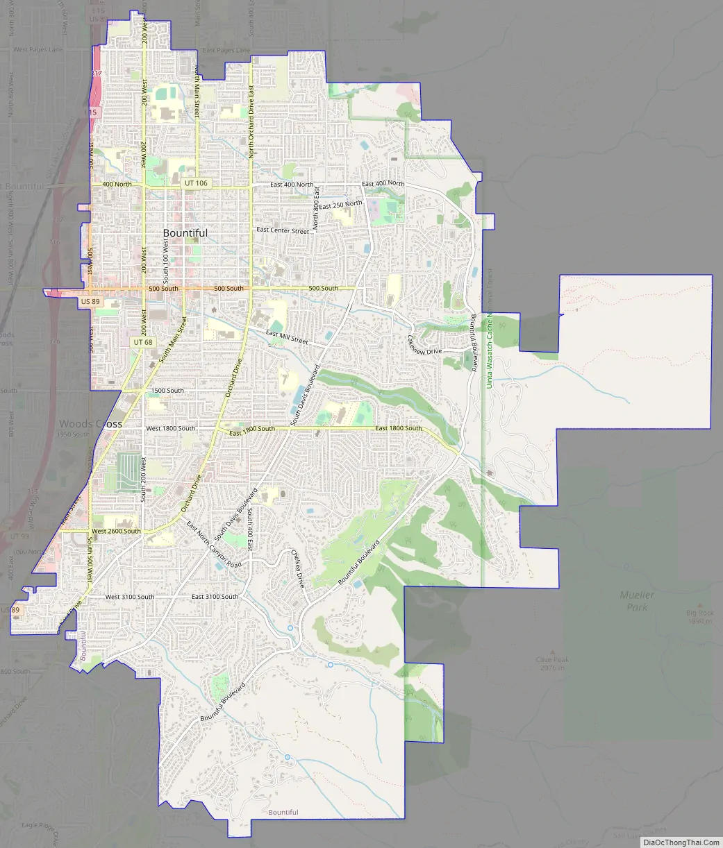
Bountiful city Satellite Map

Geography
According to the United States Census Bureau, the city has a total area of 13.5 square miles (34.9 km), all land.
The original portion of the city and downtown is located at the base of the Wasatch Range, which rises high to the east, overlooking the city. Most of the residential neighborhoods climb high up the slopes of the mountain. To the west lies a flatland that extends to the Great Salt Lake and the mudflats and marshes that border it. Areas of Bountiful include Val Verda in the southern part of the city.
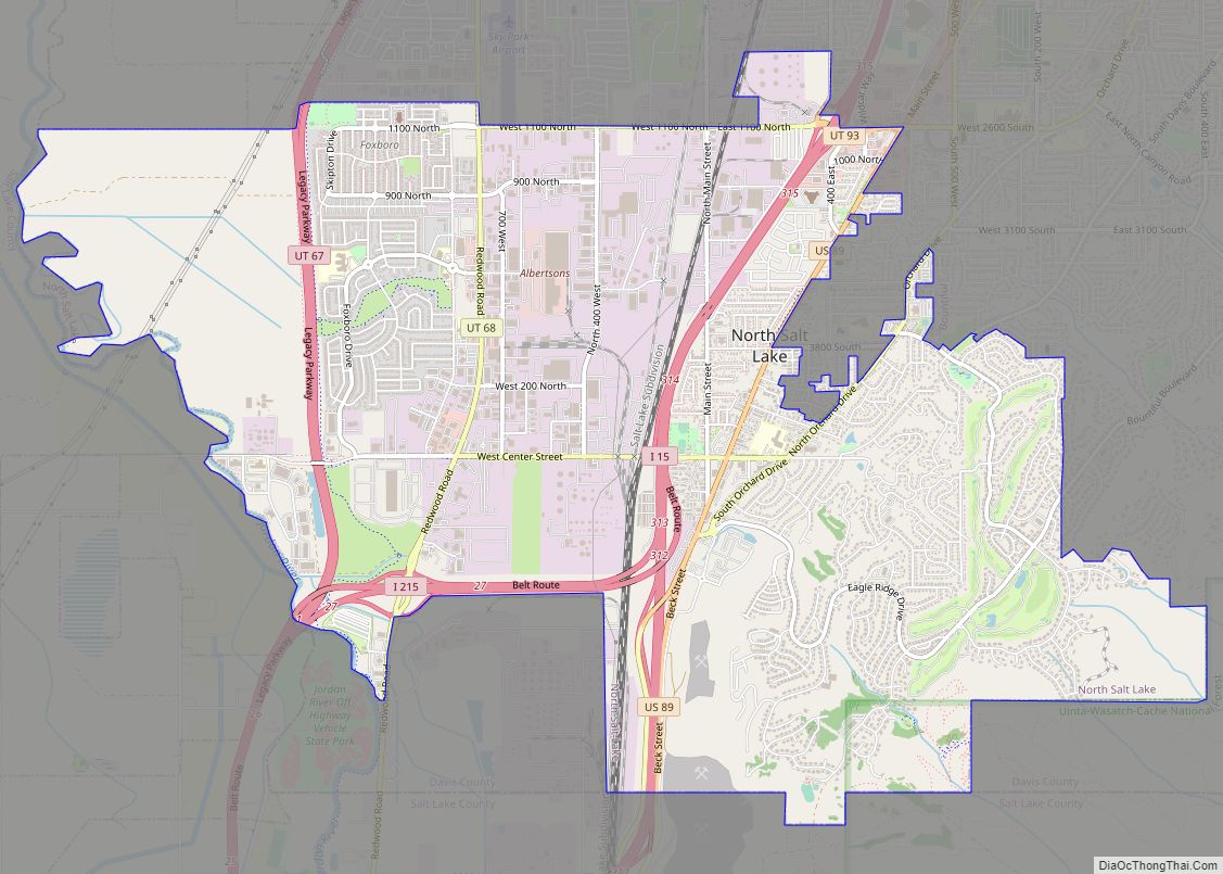
The cities surrounding Bountiful include: North Salt Lake to the south, Woods Cross and West Bountiful to the west, and Centerville to the north. Most land to the east of Bountiful is U.S. Forest Service property.
Climate
Under the Köppen climate classification system, Bountiful’s climate can be described as humid subtropical (Cfa) or humid continental (Dfa) depending on which variant of the system is used.
See also
Map of Utah State and its subdivision: Map of other states:- Alabama
- Alaska
- Arizona
- Arkansas
- California
- Colorado
- Connecticut
- Delaware
- District of Columbia
- Florida
- Georgia
- Hawaii
- Idaho
- Illinois
- Indiana
- Iowa
- Kansas
- Kentucky
- Louisiana
- Maine
- Maryland
- Massachusetts
- Michigan
- Minnesota
- Mississippi
- Missouri
- Montana
- Nebraska
- Nevada
- New Hampshire
- New Jersey
- New Mexico
- New York
- North Carolina
- North Dakota
- Ohio
- Oklahoma
- Oregon
- Pennsylvania
- Rhode Island
- South Carolina
- South Dakota
- Tennessee
- Texas
- Utah
- Vermont
- Virginia
- Washington
- West Virginia
- Wisconsin
- Wyoming