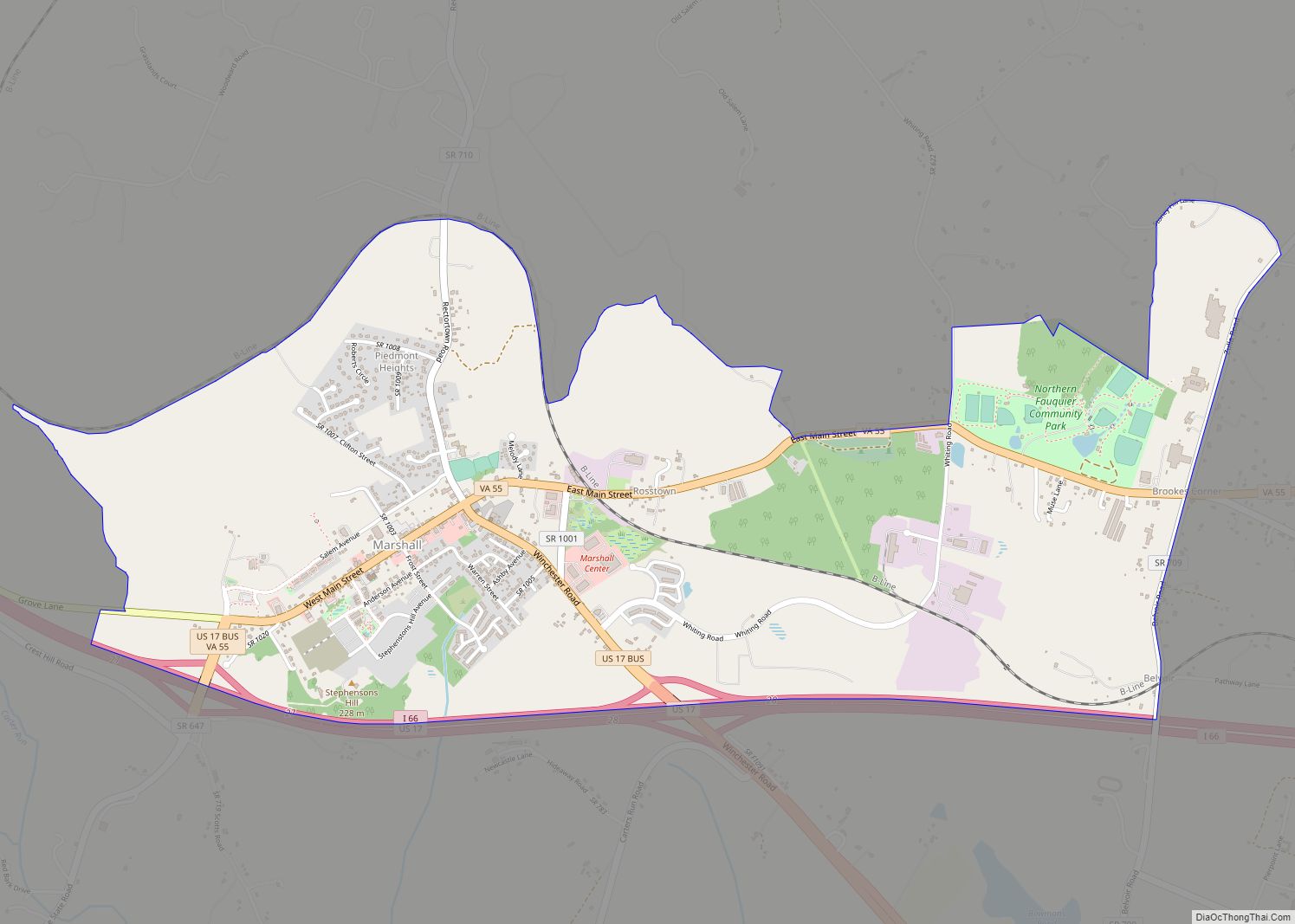
Warrenton is a town in Fauquier County, Virginia, of which it is the seat of government. The population was 10,057 as of the 2020 census, an increase from 9,611 at the 2010 census and 6,670 at the 2000 census. The estimated population in July 2021 was 10,109. It is at the junction of U.S. Route 15, U.S. Route 17, U.S. Route 29, and U.S. Route 211. The town is in the Piedmont region of Virginia just east of the Blue Ridge Mountains. The well-known Airlie Conference Center is 3 miles (5 km) north of Warrenton, and the historic Vint Hill Farms military facility is 9 miles (14 km) east. Fauquier Hospital is located in the town. Surrounded by Virginia wine and horse country, Warrenton is a popular destination outside Washington, D.C.
Warrenton shares some services with the county, such as schools and the county landfill. The area was home to Bethel Military Academy.
| Name: | Warrenton town |
|---|---|
| LSAD Code: | 43 |
| LSAD Description: | town (suffix) |
| State: | Virginia |
| County: | Fauquier County |
| Founded: | 1810 |
| Elevation: | 643 ft (196 m) |
| Total Area: | 4.38 sq mi (11.34 km²) |
| Land Area: | 4.37 sq mi (11.33 km²) |
| Water Area: | 0.01 sq mi (0.01 km²) |
| Total Population: | 10,057 |
| Population Density: | 2,296.1/sq mi (885.01/km²) |
| ZIP code: | 20186-20188 |
| Area code: | 540, 703, 571 |
| FIPS code: | 5183136 |
| GNISfeature ID: | 1500278 |
| Website: | www.warrentonva.gov |
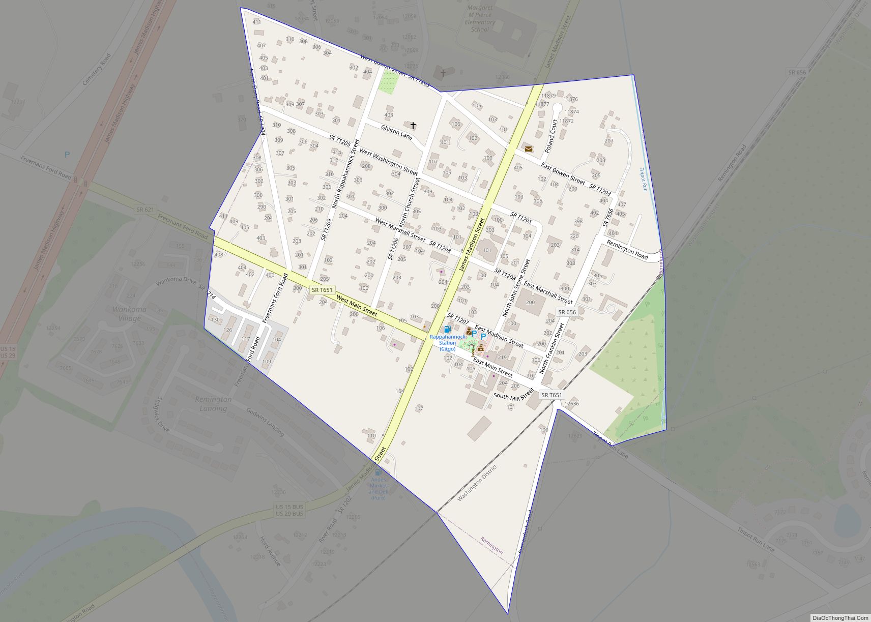
Online Interactive Map
Click on ![]() to view map in "full screen" mode.
to view map in "full screen" mode.
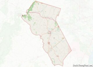
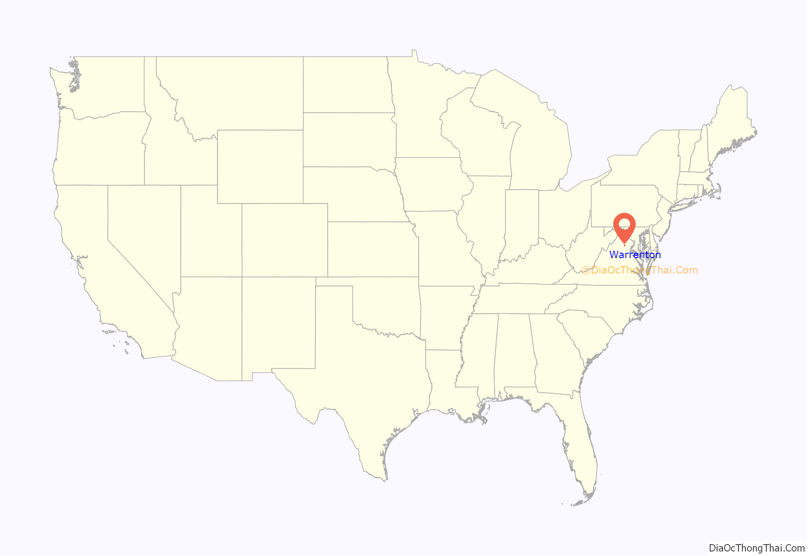
Warrenton location map. Where is Warrenton town?
History
The settlement which would grow into the town of Warrenton began as a crossroads at the junction of the Falmouth-Winchester and Alexandria-Culpeper roads, where a trading post called the Red Store was located. In the 1790s, a courthouse was built in the area, and the location was known as “Fauquier Courthouse”.
The Town of Warrenton was incorporated on January 5, 1810, and named for General Joseph Warren, a Revolutionary War hero. Richard Henry Lee donated the land for the county seat. John S. Horner, Secretary of Wisconsin Territory and Acting Governor of Michigan Territory, was born in Warrenton. John Marshall, the fourth Chief Justice of the U.S. Supreme Court, was from Germantown, modern-day Midland, 10 miles (16 km) south of Warrenton.
Confederate Colonel John S. Mosby made raids in the town during the American Civil War and later made his home and practiced law in Warrenton. The Warren Green Hotel building hosted many famous people, including the Marquis de Lafayette, James Monroe, Andrew Jackson, Henry Clay, President Theodore Roosevelt, and divorcée Wallis Simpson. Union General George B. McClellan bade farewell to his officers November 11, 1862, from the steps of the hotel. It now hosts some offices of the Fauquier County government.
Arthur Jordan, an African-American man, was lynched by a mob of approximately 60–75 men in white hoods in the early hours of January 19, 1880. Jordan had been accused of miscegenation and bigamy for eloping with Elvira (Lucille) Corder, the daughter of his white employer, Nathan Corder, a landowner and farmer in the upper part of the county along the Rappahannock River. A group of local men hunted the pair down near Williamsport, Maryland, captured Mr. Jordan and returned him to Fauquier, whereupon he was delivered to the town jail. Later that night, the masked lynch mob gained access to the jail and dragged Jordan to the nearby town cemetery, where he was hanged from a small locust tree. Ms. Corder remained in Maryland, estranged from her family, until her death a few years later. News of the lynching was reported in papers across the nation. Even some foreign newspapers, such as Australia’s Sydney Morning Herald, reprinted accounts of the event.
In 1909, a fire destroyed almost half the structures in the town, and was halted with the use of dynamite to create a firebreak to stop the flames from spreading.
In 1951, the federal government established the Warrenton Training Center just outside Warrenton. The center is a secret Central Intelligence Agency communications facility, which also houses an underground relocation bunker containing communications infrastructure to support continuity of government in the event of a nuclear attack on Washington, DC.
A bypass route around the town was built in the early 1960s, which attracted restaurants, gas stations, and shopping centers, but also drew businesses away from the center of town.
The Warrenton Historic District was listed on the National Register of Historic Places in 1983. Other listings in or near Warrenton include Brentmoor, Dakota, Hopefield, Loretta, Monterosa, North Wales, The Oaks, the Old Fauquier County Jail, and Yorkshire House.
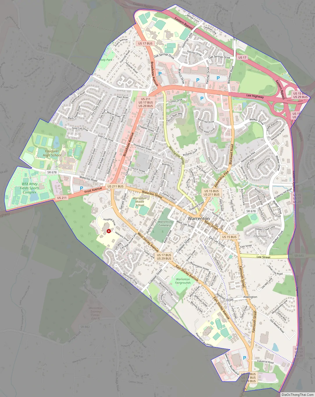
Warrenton Road Map
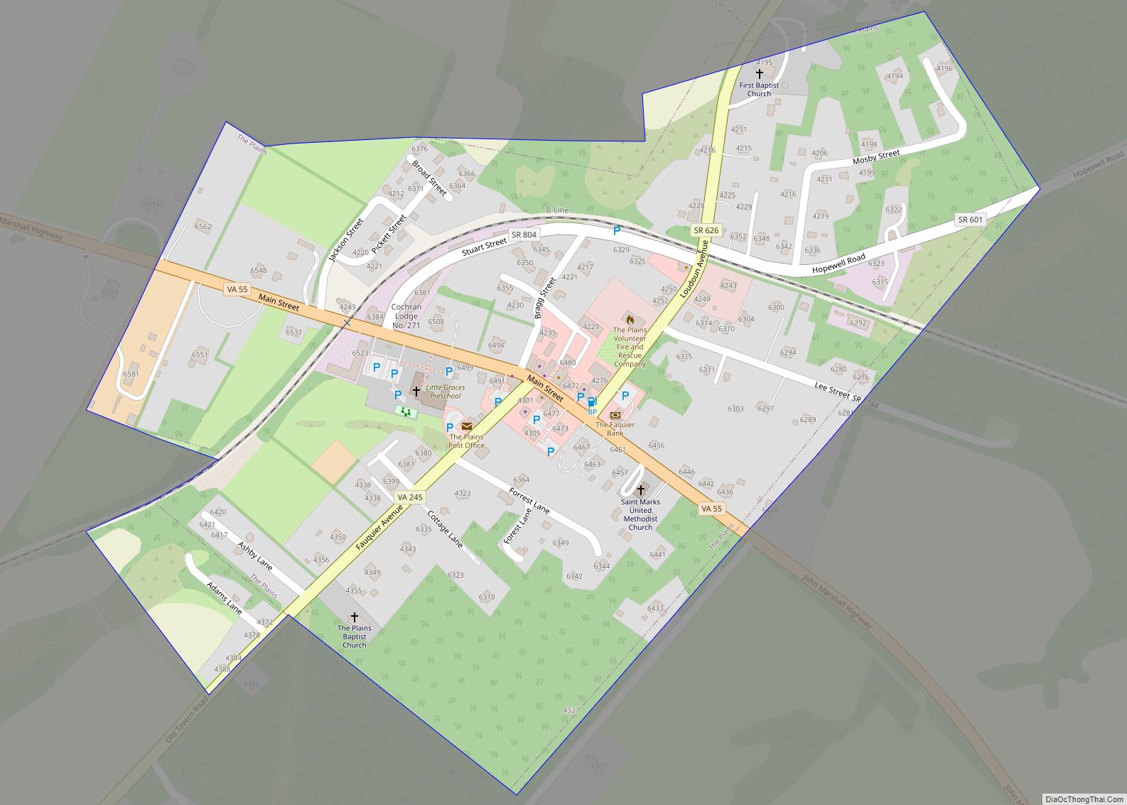
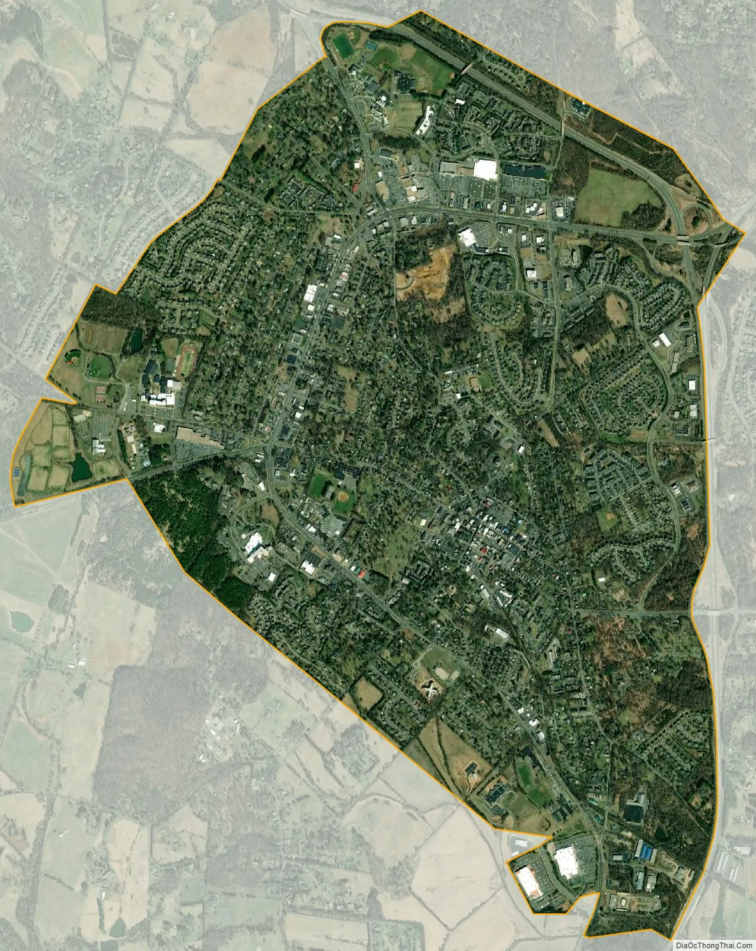
Warrenton city Satellite Map
Geography
Warrenton is located in central Fauquier County at 38°43′06″N 77°47′50″W / 38.71833°N 77.79722°W / 38.71833; -77.79722 (38.718307, −77.797085). U.S. Route 29 leads northeast 12 miles (19 km) to Gainesville and 47 miles (76 km) to Washington, D.C., and southwest 25 miles (40 km) to Culpeper. U.S. Route 15 follows US 29 out of town in both directions, but leads north-northeast 34 miles (55 km) to Leesburg. U.S. Route 17 leads northwest 42 miles (68 km) to Winchester and southeast 44 miles (71 km) to Fredericksburg, and U.S. Route 211 leads west 34 miles (55 km) to Skyline Drive in Shenandoah National Park.
According to the U.S. Census Bureau, Warrenton has a total area of 4.5 square miles (11.7 km), of which 0.004 square miles (0.01 km), or 0.13%, is water. The eastern, southern, and northern parts of the town drain east to Cedar Run, a tributary of the Occoquan River and part of the Potomac River watershed, while the western part of town drains south via Great Run to the Rappahannock River.
See also
Map of Virginia State and its subdivision:- Accomack
- Albemarle
- Alexandria
- Alleghany
- Amelia
- Amherst
- Appomattox
- Arlington
- Augusta
- Bath
- Bedford
- Bedford City
- Bland
- Botetourt
- Bristol
- Brunswick
- Buchanan
- Buckingham
- Buena Vista
- Campbell
- Caroline
- Carroll
- Charles City
- Charlotte
- Charlottesville
- Chesapeake
- Chesterfield
- Clarke
- Clifton Forge City
- Colonial Heights
- Covington
- Craig
- Culpeper
- Cumberland
- Danville
- Dickenson
- Dinwiddie
- Emporia
- Essex
- Fairfax
- Fairfax City
- Falls Church
- Fauquier
- Floyd
- Fluvanna
- Franklin
- Frederick
- Fredericksburg
- Galax
- Giles
- Gloucester
- Goochland
- Grayson
- Greene
- Greensville
- Halifax
- Hampton
- Hanover
- Harrisonburg
- Henrico
- Henry
- Highland
- Hopewell
- Isle of Wight
- James City
- King and Queen
- King George
- King William
- Lancaster
- Lee
- Lexington
- Loudoun
- Louisa
- Lunenburg
- Lynchburg
- Madison
- Manassas
- Manassas Park
- Martinsville
- Mathews
- Mecklenburg
- Middlesex
- Montgomery
- Nelson
- New Kent
- Newport News
- Norfolk
- Northampton
- Northumberland
- Norton
- Nottoway
- Orange
- Page
- Patrick
- Petersburg
- Pittsylvania
- Poquoson
- Portsmouth
- Powhatan
- Prince Edward
- Prince George
- Prince William
- Pulaski
- Radford
- Rappahannock
- Richmond
- Roanoke
- Roanoke City
- Rockbridge
- Rockingham
- Russell
- Salem
- Scott
- Shenandoah
- Smyth
- Southampton
- Spotsylvania
- Stafford
- Staunton
- Suffolk
- Surry
- Sussex
- Tazewell
- Virginia Beach
- Warren
- Washington
- Waynesboro
- Westmoreland
- Williamsburg
- Winchester
- Wise
- Wythe
- York
- Alabama
- Alaska
- Arizona
- Arkansas
- California
- Colorado
- Connecticut
- Delaware
- District of Columbia
- Florida
- Georgia
- Hawaii
- Idaho
- Illinois
- Indiana
- Iowa
- Kansas
- Kentucky
- Louisiana
- Maine
- Maryland
- Massachusetts
- Michigan
- Minnesota
- Mississippi
- Missouri
- Montana
- Nebraska
- Nevada
- New Hampshire
- New Jersey
- New Mexico
- New York
- North Carolina
- North Dakota
- Ohio
- Oklahoma
- Oregon
- Pennsylvania
- Rhode Island
- South Carolina
- South Dakota
- Tennessee
- Texas
- Utah
- Vermont
- Virginia
- Washington
- West Virginia
- Wisconsin
- Wyoming