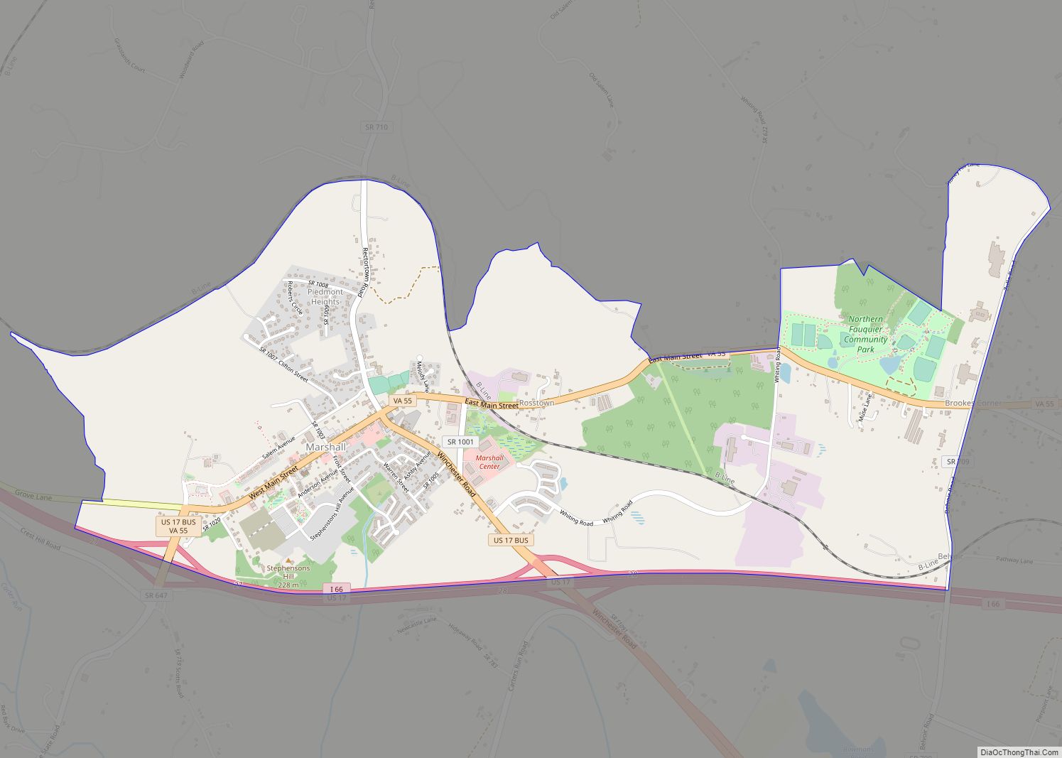
The Plains is a town in Fauquier County, Virginia, United States. The population was 245 as of the 2020 census, up from 217 at the 2010 census. It is centered on the intersection of VA 55 (John Marshall Highway) and VA 245 (Old Tavern Road). The town of The Plains is situated off I-66. As of 2022, the mayor of The Plains is Lori Sisson.
| Name: | The Plains town |
|---|---|
| LSAD Code: | 43 |
| LSAD Description: | town (suffix) |
| State: | Virginia |
| County: | Fauquier County |
| Founded: | 1910 |
| Elevation: | 610 ft (190 m) |
| Total Area: | 0.28 sq mi (0.71 km²) |
| Land Area: | 0.28 sq mi (0.71 km²) |
| Water Area: | 0.00 sq mi (0.00 km²) |
| Total Population: | 245 |
| Population Density: | 880/sq mi (350/km²) |
| ZIP code: | 20198 |
| Area code: | 540 |
| FIPS code: | 5178192 |
| GNISfeature ID: | 1496309 |
| Website: | www.theplainsvirginia.org |
Online Interactive Map
Click on ![]() to view map in "full screen" mode.
to view map in "full screen" mode.
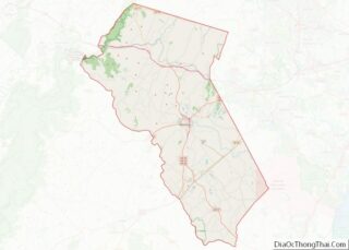
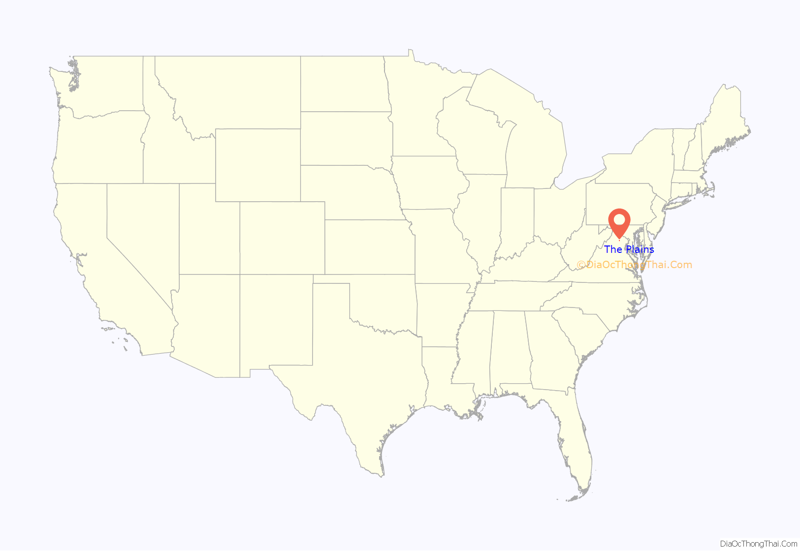
The Plains location map. Where is The Plains town?

History
In the 1700s, the Virginia Colony progressively expanded westward and allowed Europeans to begin to construct settlements in the area. Before and during the Civil War, the area was called “White Plains” on maps and a Post Office was named “The Plains” in 1831. A two-story house, with a blacksmith’s shop above, was built in 1852. During the Civil War, John S. Mosby and his Mosby’s Raiders used The Plains as part of their raiding area they controlled. The Plains was incorporated as a town in 1910.
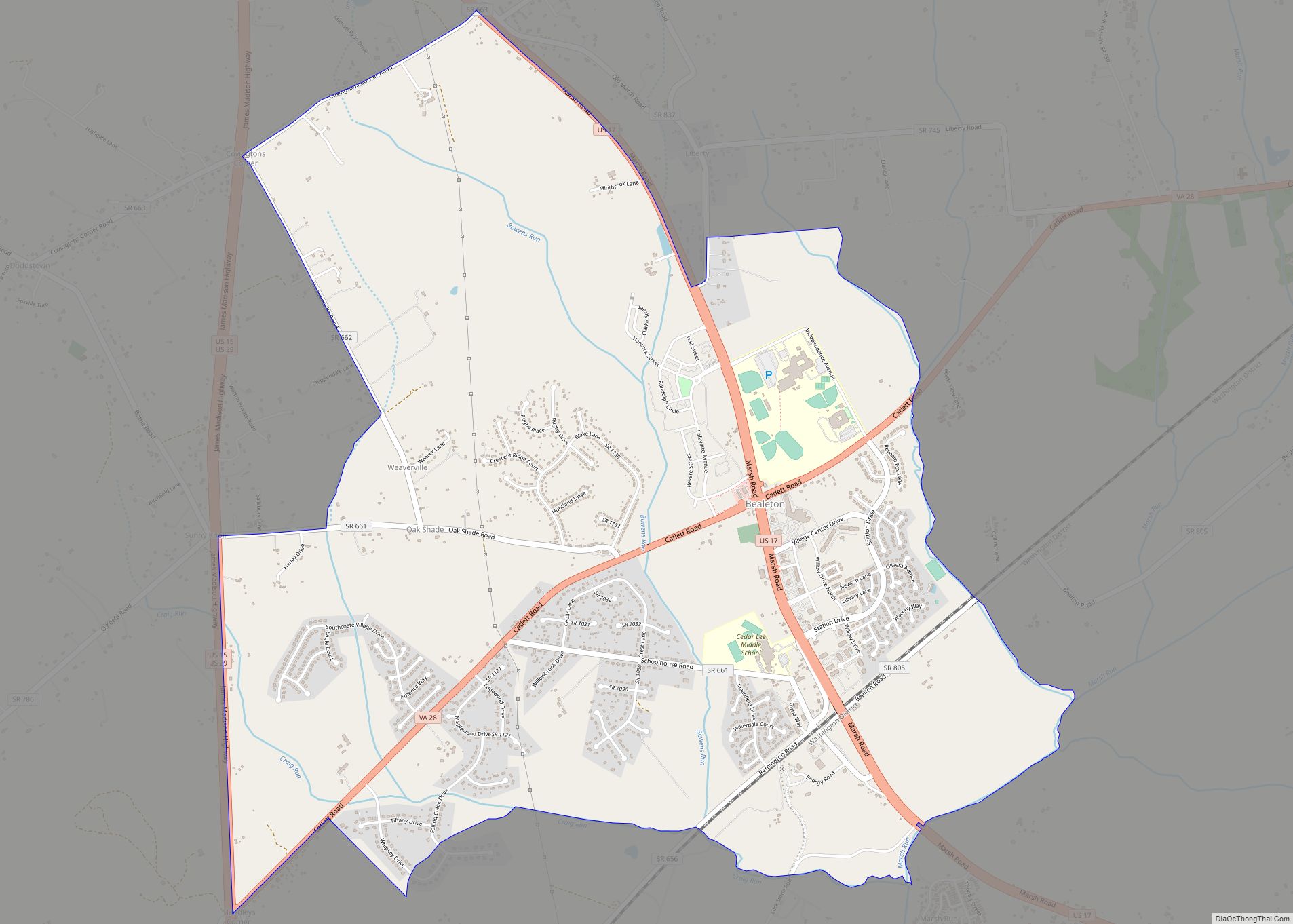
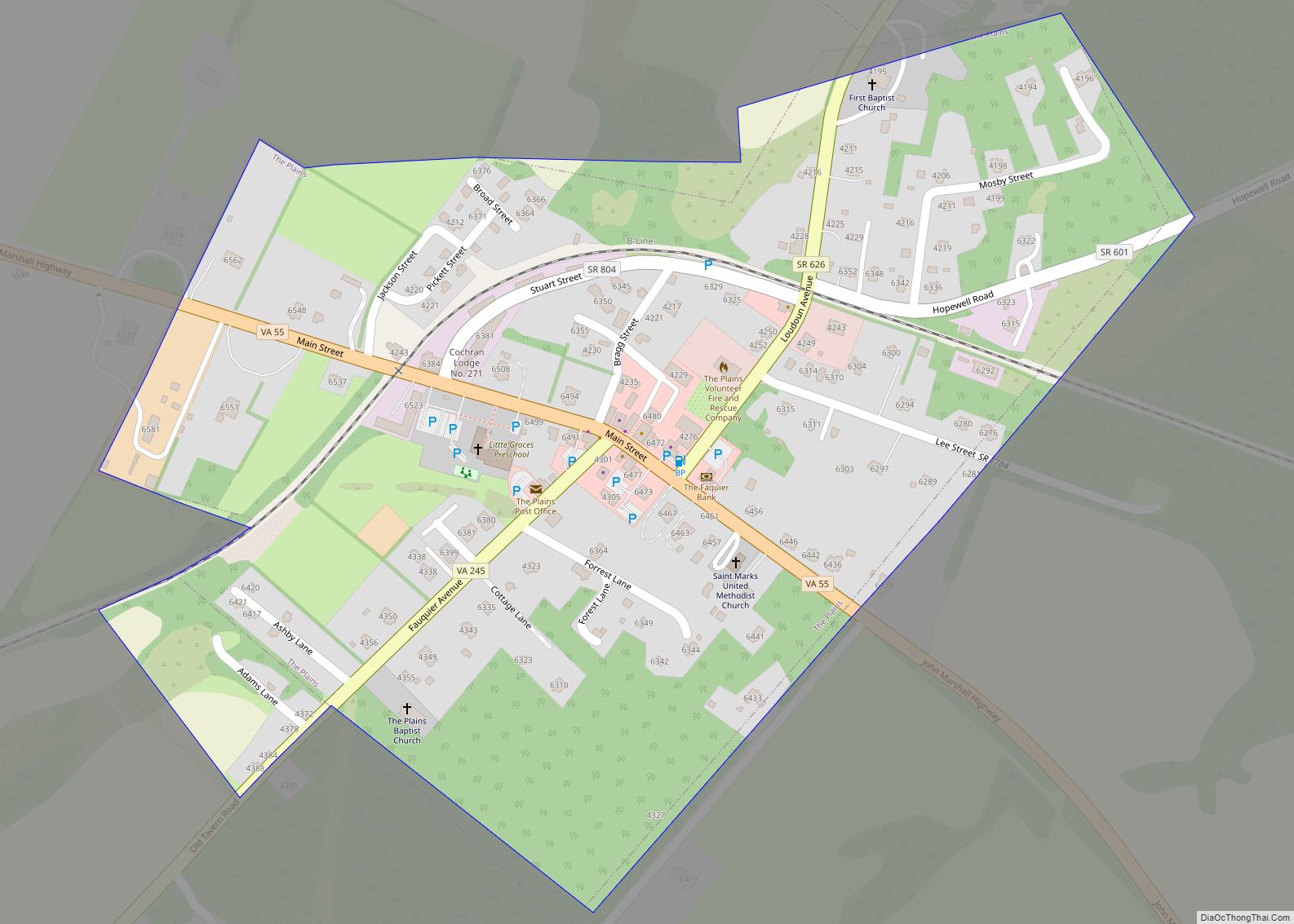
The Plains Road Map

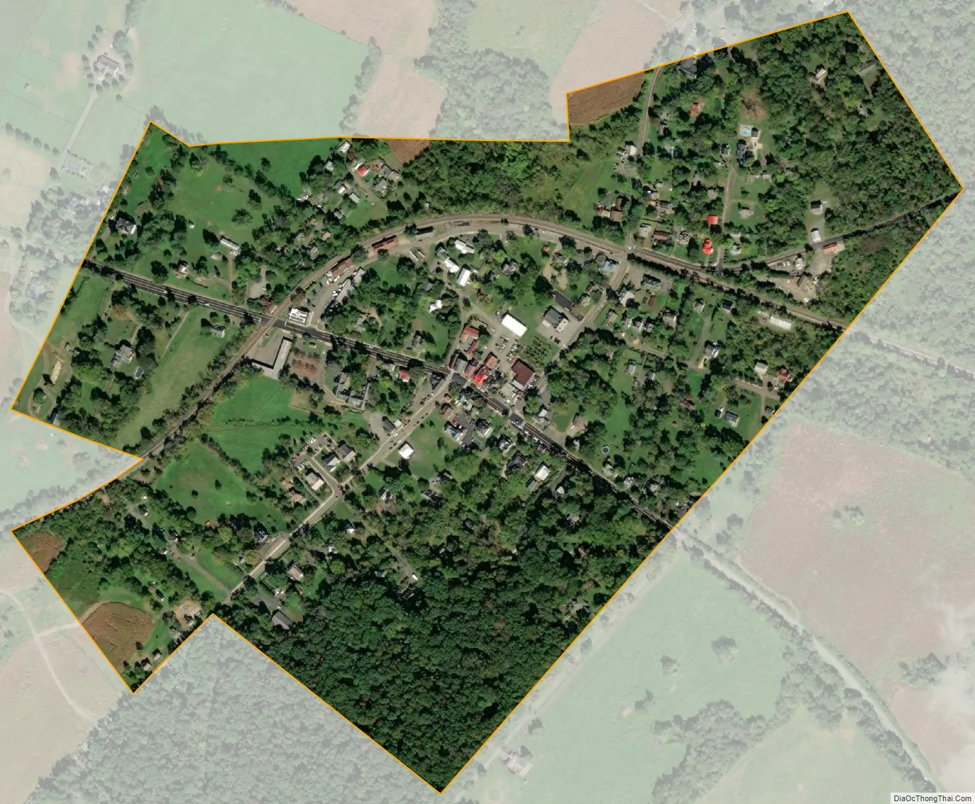
The Plains city Satellite Map
Geography
The Plains is located in northeastern Fauquier County at 38°51′46″N 77°46′32″W / 38.86278°N 77.77556°W / 38.86278; -77.77556 (38.862698, -77.775464). VA 55 leads southeast 10 miles (16 km) to Gainesville and west 4.5 miles (7.2 km) to Marshall. VA 245 leads southwest 1 mile (1.6 km) to I-66 at Exit 31. I-66 leads east 45 miles (72 km) to Washington, D.C. and west 24 miles (39 km) to Front Royal.
According to the United States Census Bureau, the town has a total area of 0.3 square miles (0.7 km), all of it land.
See also
Map of Virginia State and its subdivision:- Accomack
- Albemarle
- Alexandria
- Alleghany
- Amelia
- Amherst
- Appomattox
- Arlington
- Augusta
- Bath
- Bedford
- Bedford City
- Bland
- Botetourt
- Bristol
- Brunswick
- Buchanan
- Buckingham
- Buena Vista
- Campbell
- Caroline
- Carroll
- Charles City
- Charlotte
- Charlottesville
- Chesapeake
- Chesterfield
- Clarke
- Clifton Forge City
- Colonial Heights
- Covington
- Craig
- Culpeper
- Cumberland
- Danville
- Dickenson
- Dinwiddie
- Emporia
- Essex
- Fairfax
- Fairfax City
- Falls Church
- Fauquier
- Floyd
- Fluvanna
- Franklin
- Frederick
- Fredericksburg
- Galax
- Giles
- Gloucester
- Goochland
- Grayson
- Greene
- Greensville
- Halifax
- Hampton
- Hanover
- Harrisonburg
- Henrico
- Henry
- Highland
- Hopewell
- Isle of Wight
- James City
- King and Queen
- King George
- King William
- Lancaster
- Lee
- Lexington
- Loudoun
- Louisa
- Lunenburg
- Lynchburg
- Madison
- Manassas
- Manassas Park
- Martinsville
- Mathews
- Mecklenburg
- Middlesex
- Montgomery
- Nelson
- New Kent
- Newport News
- Norfolk
- Northampton
- Northumberland
- Norton
- Nottoway
- Orange
- Page
- Patrick
- Petersburg
- Pittsylvania
- Poquoson
- Portsmouth
- Powhatan
- Prince Edward
- Prince George
- Prince William
- Pulaski
- Radford
- Rappahannock
- Richmond
- Roanoke
- Roanoke City
- Rockbridge
- Rockingham
- Russell
- Salem
- Scott
- Shenandoah
- Smyth
- Southampton
- Spotsylvania
- Stafford
- Staunton
- Suffolk
- Surry
- Sussex
- Tazewell
- Virginia Beach
- Warren
- Washington
- Waynesboro
- Westmoreland
- Williamsburg
- Winchester
- Wise
- Wythe
- York
- Alabama
- Alaska
- Arizona
- Arkansas
- California
- Colorado
- Connecticut
- Delaware
- District of Columbia
- Florida
- Georgia
- Hawaii
- Idaho
- Illinois
- Indiana
- Iowa
- Kansas
- Kentucky
- Louisiana
- Maine
- Maryland
- Massachusetts
- Michigan
- Minnesota
- Mississippi
- Missouri
- Montana
- Nebraska
- Nevada
- New Hampshire
- New Jersey
- New Mexico
- New York
- North Carolina
- North Dakota
- Ohio
- Oklahoma
- Oregon
- Pennsylvania
- Rhode Island
- South Carolina
- South Dakota
- Tennessee
- Texas
- Utah
- Vermont
- Virginia
- Washington
- West Virginia
- Wisconsin
- Wyoming