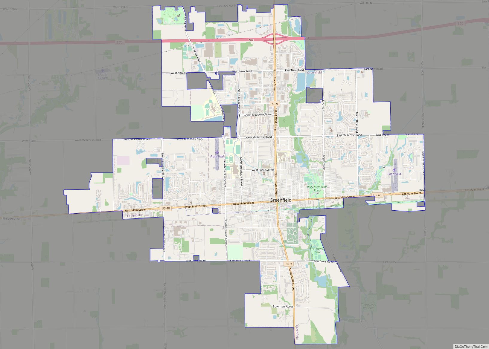
Greenfield is a city in and the county seat of Hancock County, Indiana, United States It lies in Center Township and is part of the Indianapolis metropolitan area. The population was 23,488 at the 2020 census.
Greenfield was a stop along the Pittsburgh, Cincinnati, Chicago and St. Louis Railroad that connected Pittsburgh to Chicago and St. Louis.
| Name: | Greenfield city |
|---|---|
| LSAD Code: | 25 |
| LSAD Description: | city (suffix) |
| State: | Indiana |
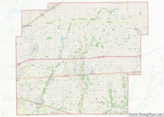
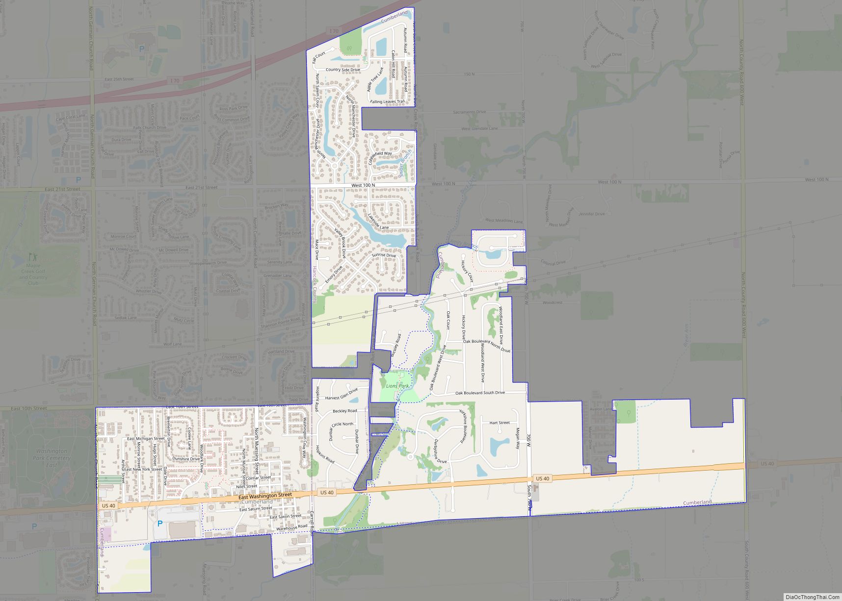
| County: | Hancock County |
| Elevation: | 883 ft (269 m) |
| Total Area: | 13.71 sq mi (35.50 km²) |
| Land Area: | 13.56 sq mi (35.12 km²) |
| Water Area: | 0.15 sq mi (0.38 km²) |
| Total Population: | 23,488 |
| Population Density: | 1,713.20/sq mi (661.47/km²) |
| ZIP code: | 46140 |
| Area code: | 317 |
| FIPS code: | 1829520 |
| GNISfeature ID: | 0449837 |
| Website: | www.greenfieldin.org |
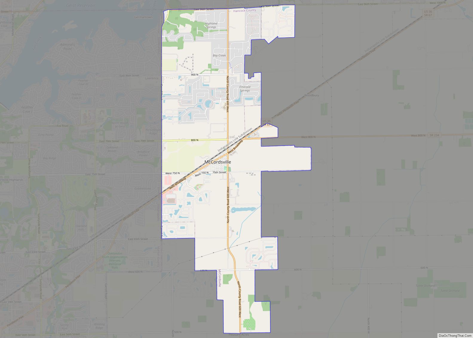
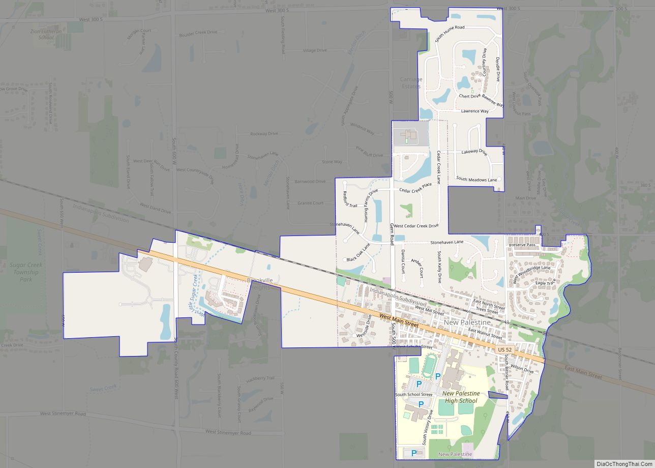
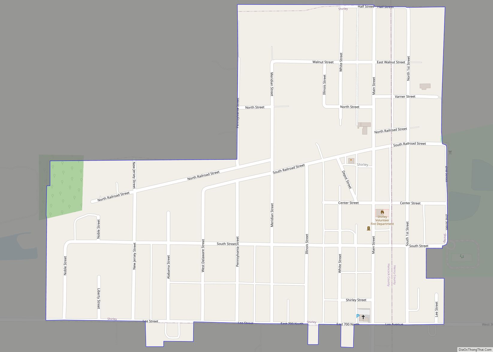
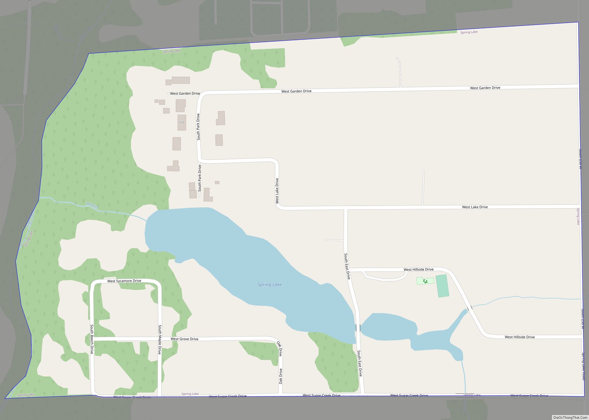
Online Interactive Map
Click on ![]() to view map in "full screen" mode.
to view map in "full screen" mode.
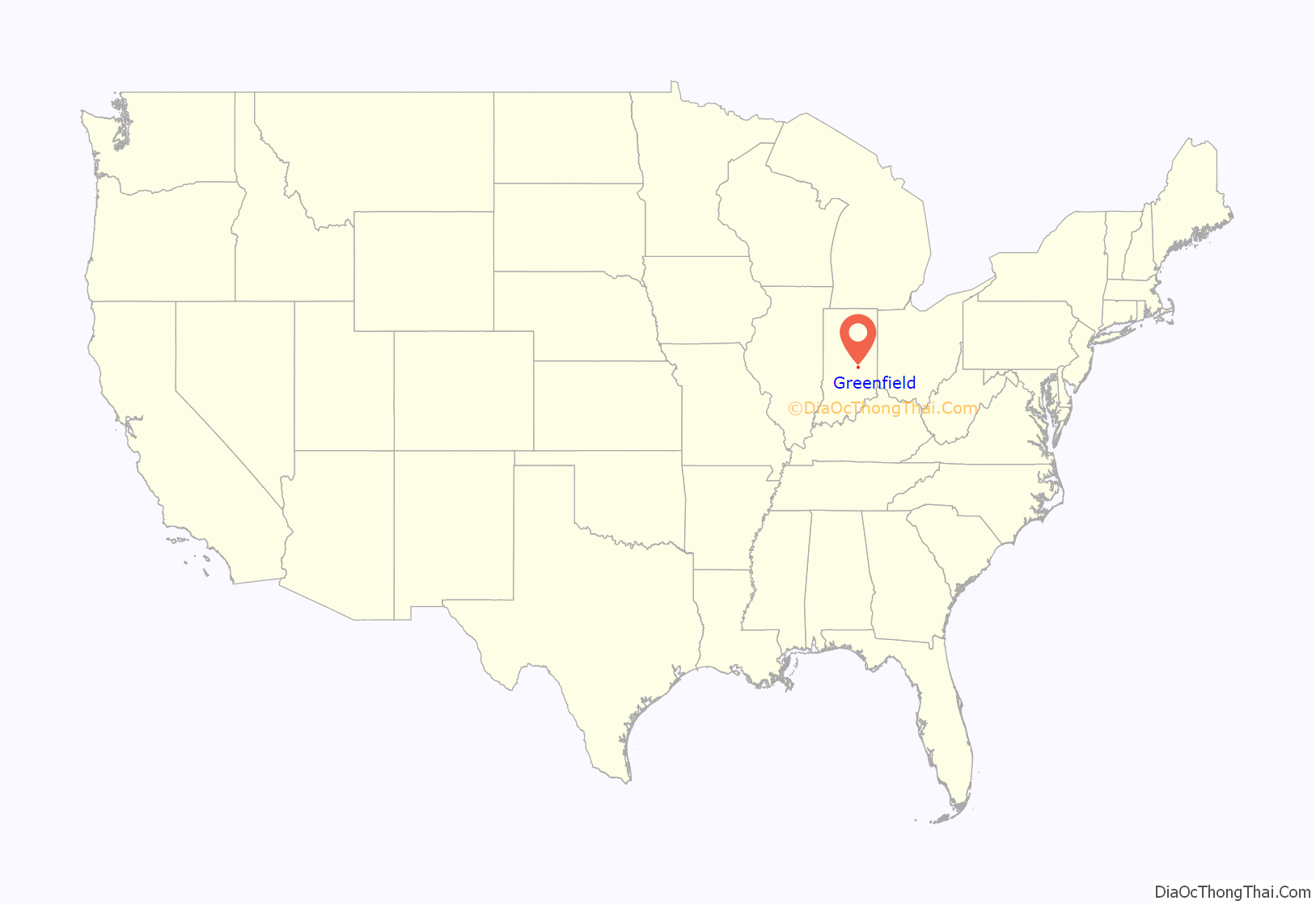
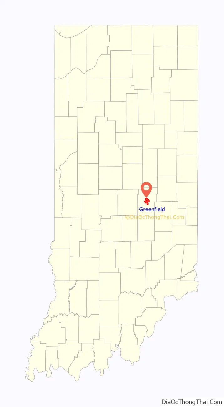
Greenfield location map. Where is Greenfield city?
History
Hancock County was created on March 1, 1828, and named for John Hancock, the first person to sign the Declaration of Independence. The town of Greenfield was chosen as the county seat on April 11, 1828. The Commissioners announced, “The seat of Justice of Hancock County shall be known and designated by the name and title of Greenfield.” The population of the county at that time was 400.
Early settlers built along the two creeks which flow south through Center Township, which includes Greenfield. The first businesses were small gristmills for grinding corn and wheat for settlers.
U.S. Route 40, the National Road, was built through Hancock County around 1835. It was heavily traveled by wagon trains going west and livestock going to Cincinnati. In 1853, the first steam railroad was completed by the Indiana Central Railroad at the south edge of Greenfield. The railroad became part of the Pennsylvania Railroad system and later the Penn-Central. These tracks were removed in the 1980s.
During this time, Greenfield’s population continued to grow. Greenfield was incorporated as a city in 1876 with a population of 2,023. The greatest single period of growth began in 1887 when natural gas was discovered in the area. Greenfield was a boomtown for 20 years, with the founding of manufacturing plants and other industries.
A statue of James Whitcomb Riley, which stands in front of the Hancock County Courthouse, was erected in 1918. It was purchased with money donated by school children from all over the United States. Each year, during the Riley Festival in October, the city’s school children parade to the statue to place flowers around it.
The Charles Barr House, Greenfield Courthouse Square Historic District, Greenfield Residential Historic District, Lilly Biological Laboratories, Lincoln Park School, and James Whitcomb Riley House are listed on the National Register of Historic Places.
Greenfield Road Map
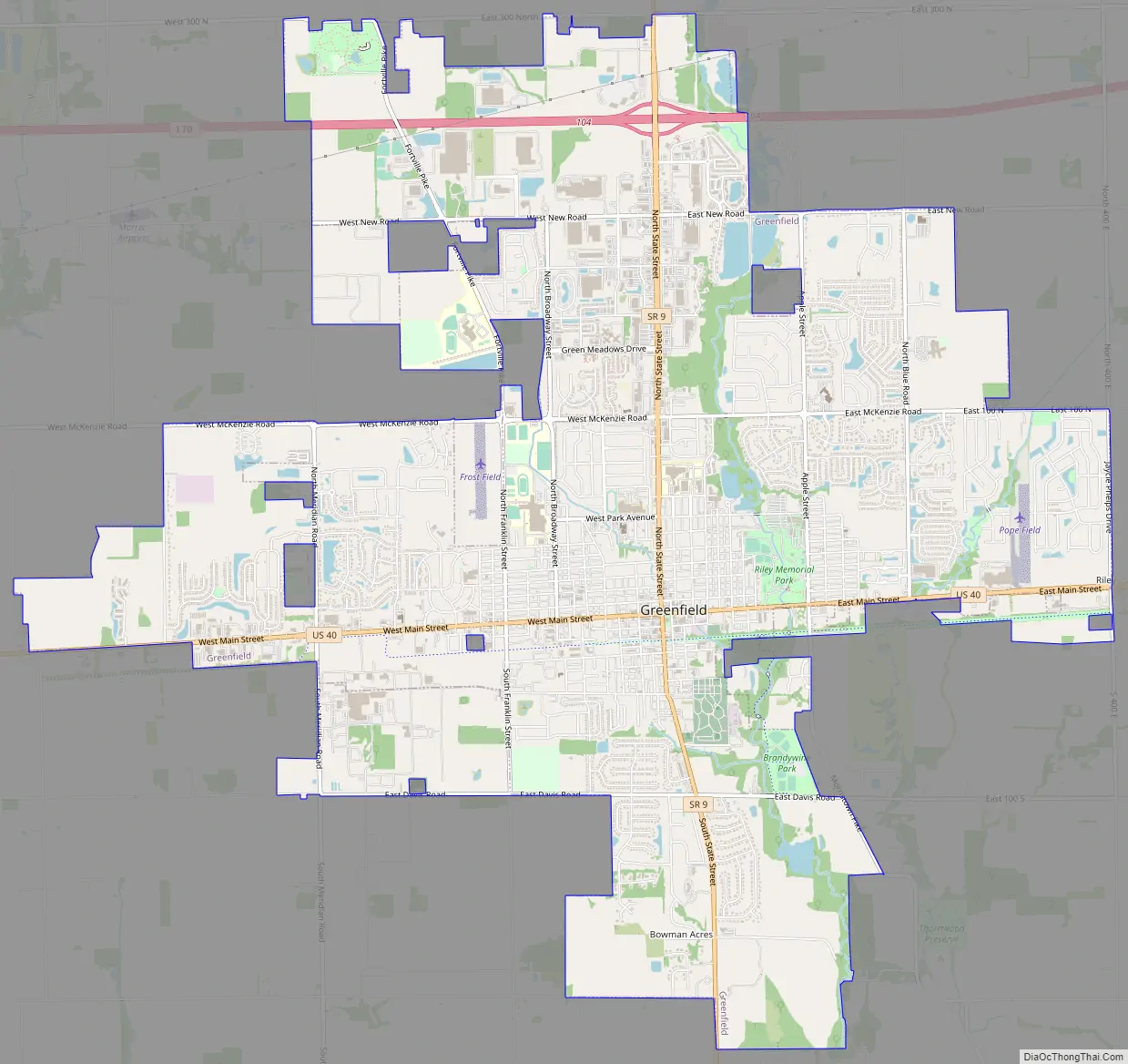
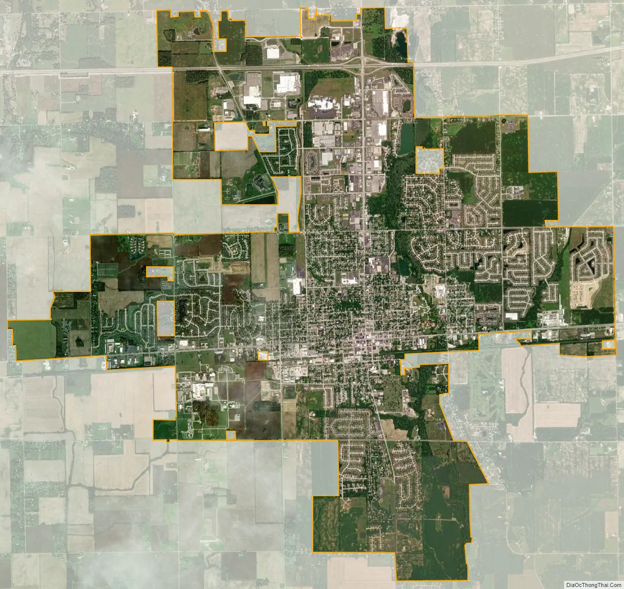
Greenfield city Satellite Map
Geography
Greenfield is located in central Hancock County at 39°47′29″N 85°46′17″W / 39.79139°N 85.77139°W / 39.79139; -85.77139 (39.791338, -85.771343). U.S. Route 40 passes through the center of the city as Main Street, and leads east 13 miles (21 km) to Knightstown and west 21 miles (34 km) to downtown Indianapolis. Interstate 70 parallels US-40, passing through the northern limits of Greenfield with access from Exit 104. I-70 leads east 50 miles (80 km) to Richmond near the Ohio border and west through Indianapolis 99 miles (159 km) to Terre Haute. Indiana State Road 9 (State Street) crosses US-40 in the center of Greenfield and leads north 15 miles (24 km) to Pendleton and south 18 miles (29 km) to Shelbyville.
According to the 2010 census, Greenfield has a total area of 12.662 square miles (32.79 km), of which 12.55 square miles (32.50 km) (or 99.12%) is land and 0.112 square miles (0.29 km) (or 0.88%) is water.
Located on the east side of historic downtown lies Riley Park, in which flows the Brandywine Creek, a south-flowing tributary of the Big Blue River and part of the watershed of the East Fork White River.
See also
Map of Indiana State and its subdivision:- Adams
- Allen
- Bartholomew
- Benton
- Blackford
- Boone
- Brown
- Carroll
- Cass
- Clark
- Clay
- Clinton
- Crawford
- Daviess
- De Kalb
- Dearborn
- Decatur
- Delaware
- Dubois
- Elkhart
- Fayette
- Floyd
- Fountain
- Franklin
- Fulton
- Gibson
- Grant
- Greene
- Hamilton
- Hancock
- Harrison
- Hendricks
- Henry
- Howard
- Huntington
- Jackson
- Jasper
- Jay
- Jefferson
- Jennings
- Johnson
- Knox
- Kosciusko
- LaGrange
- Lake
- Lake Michigan
- LaPorte
- Lawrence
- Madison
- Marion
- Marshall
- Martin
- Miami
- Monroe
- Montgomery
- Morgan
- Newton
- Noble
- Ohio
- Orange
- Owen
- Parke
- Perry
- Pike
- Porter
- Posey
- Pulaski
- Putnam
- Randolph
- Ripley
- Rush
- Saint Joseph
- Scott
- Shelby
- Spencer
- Starke
- Steuben
- Sullivan
- Switzerland
- Tippecanoe
- Tipton
- Union
- Vanderburgh
- Vermillion
- Vigo
- Wabash
- Warren
- Warrick
- Washington
- Wayne
- Wells
- White
- Whitley
- Alabama
- Alaska
- Arizona
- Arkansas
- California
- Colorado
- Connecticut
- Delaware
- District of Columbia
- Florida
- Georgia
- Hawaii
- Idaho
- Illinois
- Indiana
- Iowa
- Kansas
- Kentucky
- Louisiana
- Maine
- Maryland
- Massachusetts
- Michigan
- Minnesota
- Mississippi
- Missouri
- Montana
- Nebraska
- Nevada
- New Hampshire
- New Jersey
- New Mexico
- New York
- North Carolina
- North Dakota
- Ohio
- Oklahoma
- Oregon
- Pennsylvania
- Rhode Island
- South Carolina
- South Dakota
- Tennessee
- Texas
- Utah
- Vermont
- Virginia
- Washington
- West Virginia
- Wisconsin
- Wyoming