Tuckahoe is a census-designated place (CDP) in Henrico County, Virginia, United States. It is a western suburb of Richmond. The population of Tuckahoe was 44,990 at the 2010 census. It is named after the area’s history as the site of Thomas Randolph’s Tuckahoe Plantation which still stands along the James River.
| Name: | Tuckahoe CDP |
|---|---|
| LSAD Code: | 57 |
| LSAD Description: | CDP (suffix) |
| State: | Virginia |
| County: | Henrico County |
| Elevation: | 217 ft (66 m) |
| Total Area: | 21.8 sq mi (56.4 km²) |
| Land Area: | 20.5 sq mi (53.0 km²) |
| Water Area: | 1.3 sq mi (3.4 km²) |
| Total Population: | 44,990 |
| Population Density: | 2,100/sq mi (800/km²) |
| ZIP code: | 23229 |
| Area code: | 804 |
| FIPS code: | 5179560 |
| GNISfeature ID: | 1493721 |
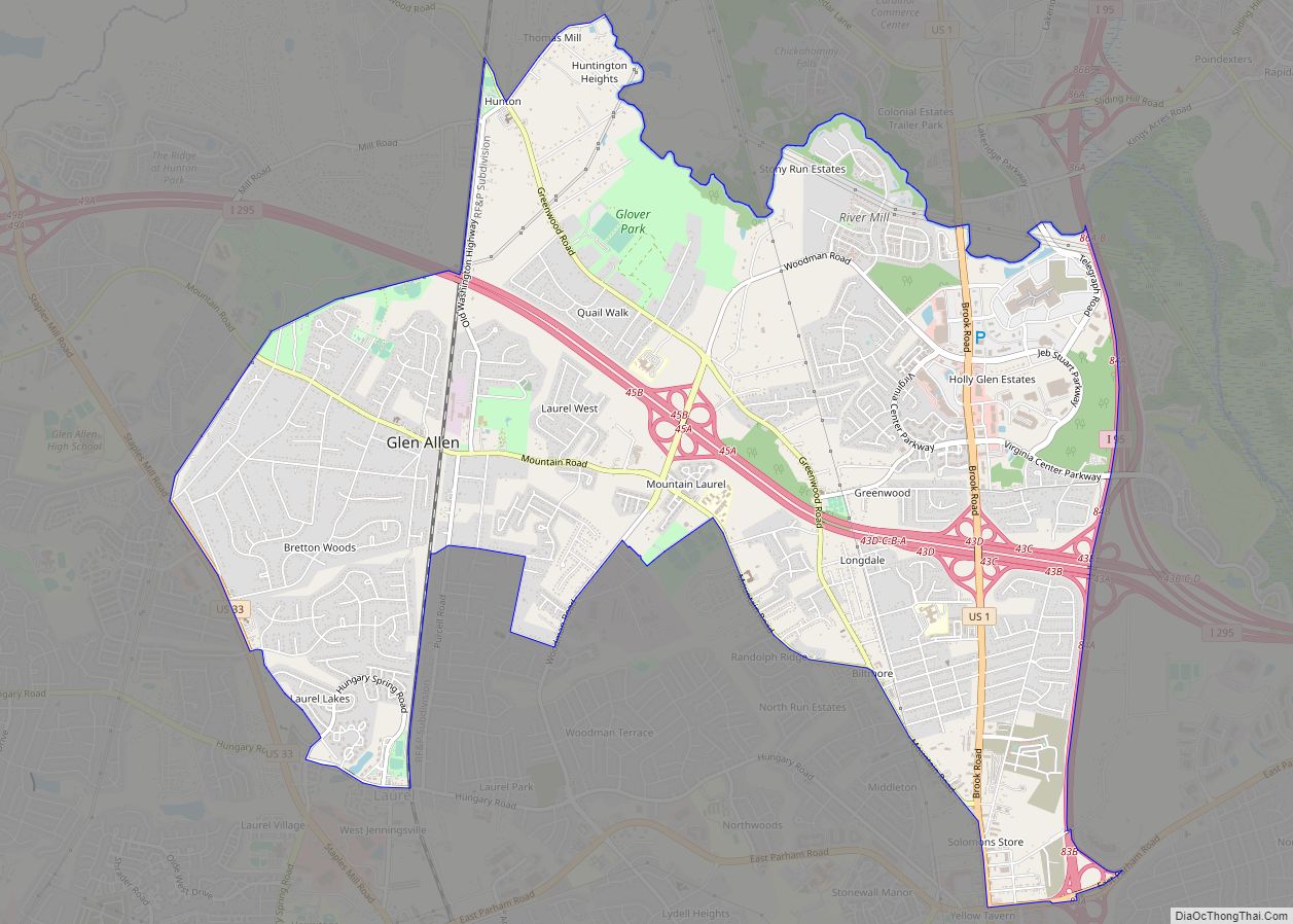
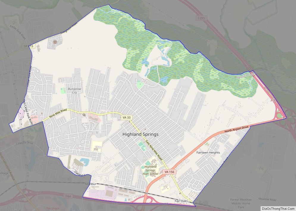
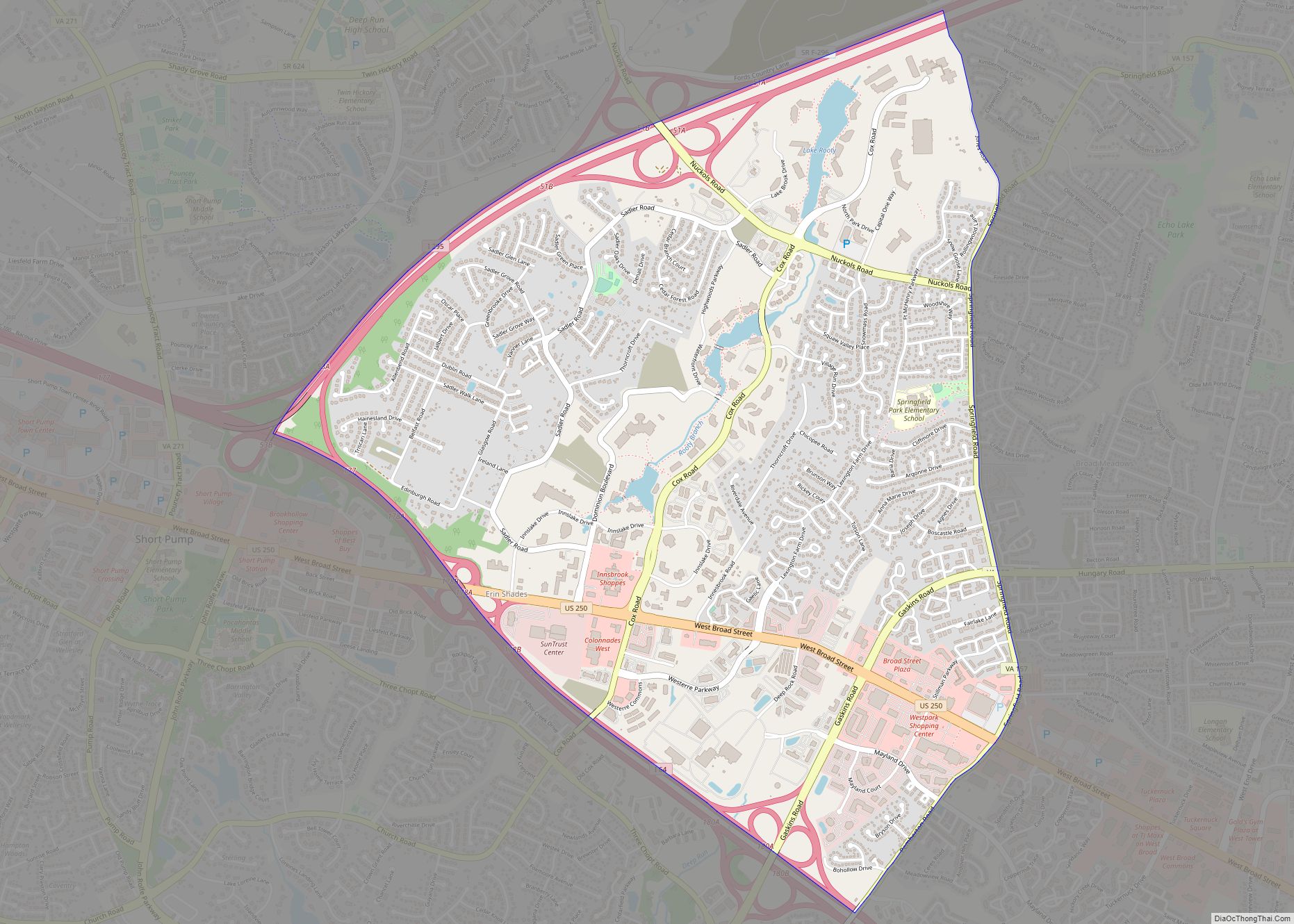
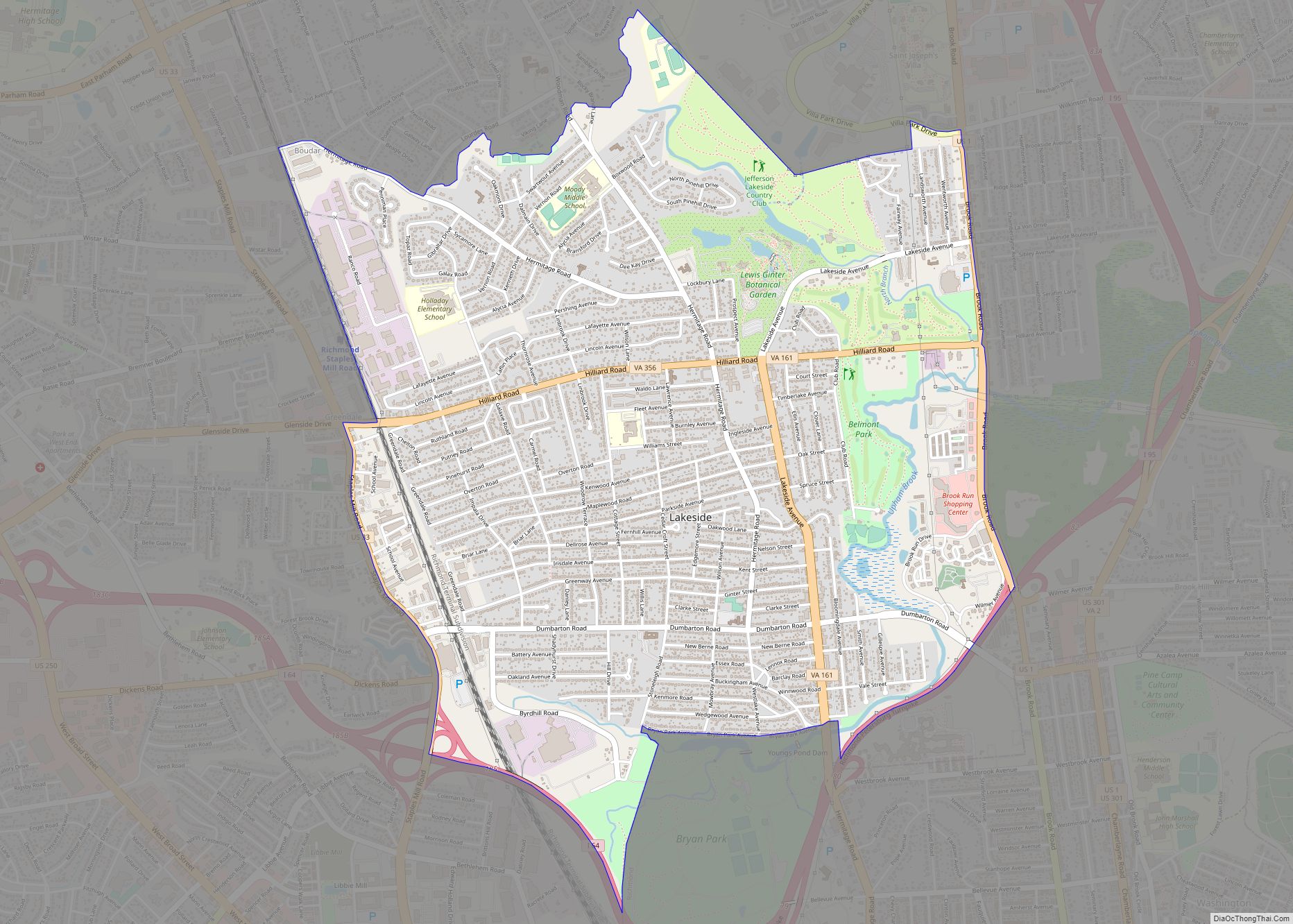
Online Interactive Map
Click on ![]() to view map in "full screen" mode.
to view map in "full screen" mode.
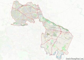
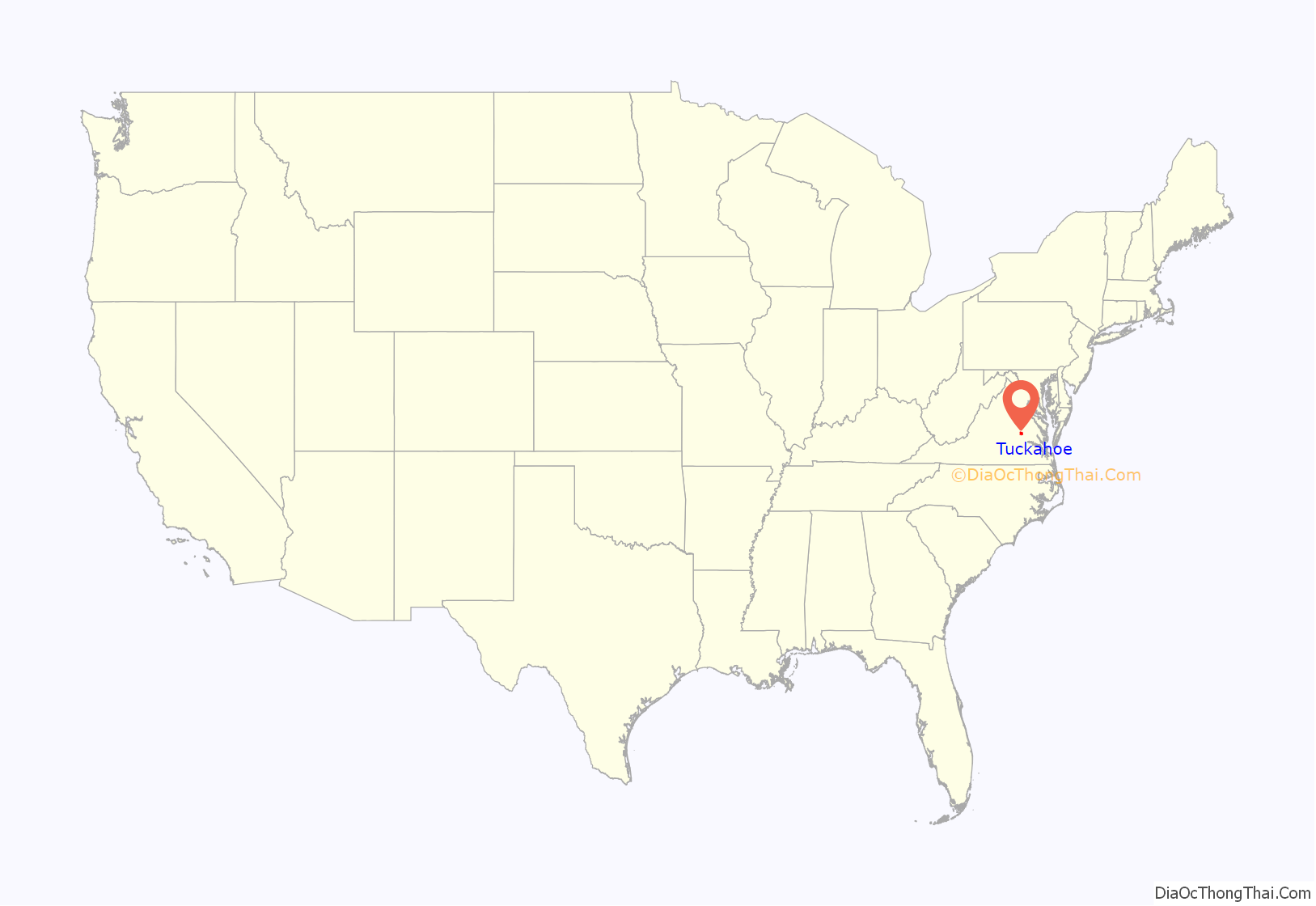
Tuckahoe location map. Where is Tuckahoe CDP?

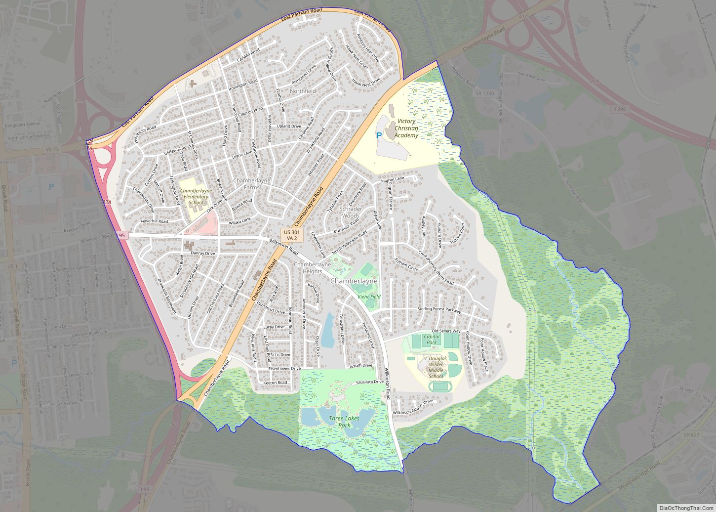
Tuckahoe Road Map
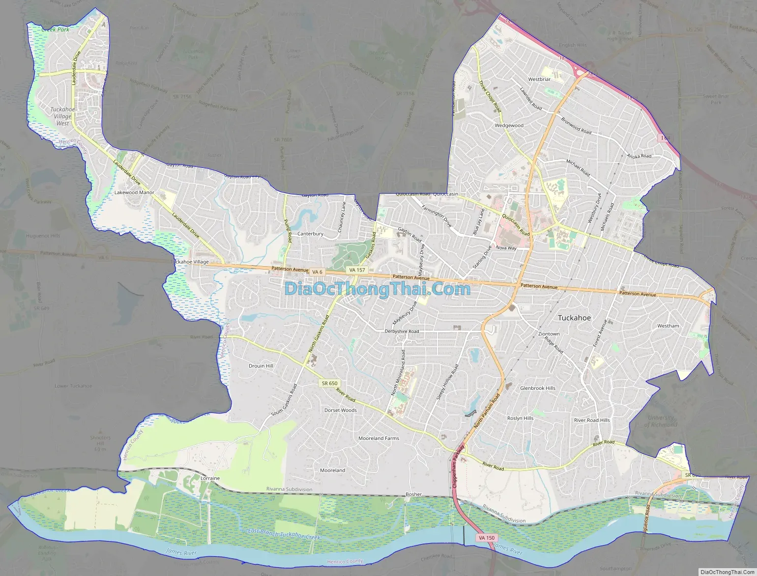
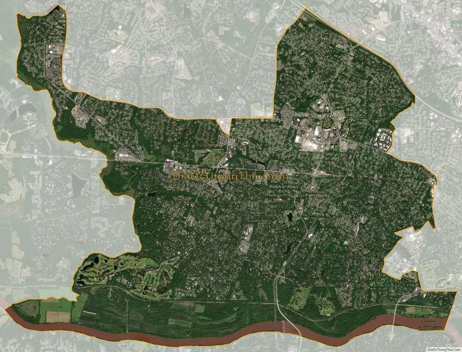
Tuckahoe city Satellite Map
Geography
According to the United States Census Bureau, the CDP has a total area of 21.8 square miles (56.4 km), of which 20.5 square miles (53.0 km) is land and 1.3 square miles (3.4 km), or 6.08%, is water.
The western boundary of Tuckahoe is formed by Tuckahoe Creek, a large undeveloped swampy creek which forms part of the boundary between Goochland County and Henrico County.
Climate
Tuckahoe is located in the warm temperate climate zone and has Hot and Humid summers and relatively cold winters. Precipitation is evenly distributed throughout the year. Snowfall in Tuckahoe averages about 13 inches each year and occurs on about 7–8 days a year. White Christmas’s do not occur most years in Tuckahoe but are not uncommon. The probability for a White Christmas each year is seven percent. White Christmas’s were observed in December 2009 and December 2010. However, there are many other years when there is accumulated snow already on the ground at Christmas time.
See also
Map of Virginia State and its subdivision:- Accomack
- Albemarle
- Alexandria
- Alleghany
- Amelia
- Amherst
- Appomattox
- Arlington
- Augusta
- Bath
- Bedford
- Bedford City
- Bland
- Botetourt
- Bristol
- Brunswick
- Buchanan
- Buckingham
- Buena Vista
- Campbell
- Caroline
- Carroll
- Charles City
- Charlotte
- Charlottesville
- Chesapeake
- Chesterfield
- Clarke
- Clifton Forge City
- Colonial Heights
- Covington
- Craig
- Culpeper
- Cumberland
- Danville
- Dickenson
- Dinwiddie
- Emporia
- Essex
- Fairfax
- Fairfax City
- Falls Church
- Fauquier
- Floyd
- Fluvanna
- Franklin
- Frederick
- Fredericksburg
- Galax
- Giles
- Gloucester
- Goochland
- Grayson
- Greene
- Greensville
- Halifax
- Hampton
- Hanover
- Harrisonburg
- Henrico
- Henry
- Highland
- Hopewell
- Isle of Wight
- James City
- King and Queen
- King George
- King William
- Lancaster
- Lee
- Lexington
- Loudoun
- Louisa
- Lunenburg
- Lynchburg
- Madison
- Manassas
- Manassas Park
- Martinsville
- Mathews
- Mecklenburg
- Middlesex
- Montgomery
- Nelson
- New Kent
- Newport News
- Norfolk
- Northampton
- Northumberland
- Norton
- Nottoway
- Orange
- Page
- Patrick
- Petersburg
- Pittsylvania
- Poquoson
- Portsmouth
- Powhatan
- Prince Edward
- Prince George
- Prince William
- Pulaski
- Radford
- Rappahannock
- Richmond
- Roanoke
- Roanoke City
- Rockbridge
- Rockingham
- Russell
- Salem
- Scott
- Shenandoah
- Smyth
- Southampton
- Spotsylvania
- Stafford
- Staunton
- Suffolk
- Surry
- Sussex
- Tazewell
- Virginia Beach
- Warren
- Washington
- Waynesboro
- Westmoreland
- Williamsburg
- Winchester
- Wise
- Wythe
- York
- Alabama
- Alaska
- Arizona
- Arkansas
- California
- Colorado
- Connecticut
- Delaware
- District of Columbia
- Florida
- Georgia
- Hawaii
- Idaho
- Illinois
- Indiana
- Iowa
- Kansas
- Kentucky
- Louisiana
- Maine
- Maryland
- Massachusetts
- Michigan
- Minnesota
- Mississippi
- Missouri
- Montana
- Nebraska
- Nevada
- New Hampshire
- New Jersey
- New Mexico
- New York
- North Carolina
- North Dakota
- Ohio
- Oklahoma
- Oregon
- Pennsylvania
- Rhode Island
- South Carolina
- South Dakota
- Tennessee
- Texas
- Utah
- Vermont
- Virginia
- Washington
- West Virginia
- Wisconsin
- Wyoming