Brooksburg is a town in Milton Township, Jefferson County, Indiana, United States. The population was 81 at the 2010 census.
| Name: | Brooksburg town |
|---|---|
| LSAD Code: | 43 |
| LSAD Description: | town (suffix) |
| State: | Indiana |
| County: | Jefferson County |
| Elevation: | 472 ft (144 m) |
| Total Area: | 0.11 sq mi (0.29 km²) |
| Land Area: | 0.10 sq mi (0.26 km²) |
| Water Area: | 0.01 sq mi (0.02 km²) |
| Total Population: | 72 |
| Population Density: | 705.88/sq mi (273.59/km²) |
| FIPS code: | 1808092 |
| GNISfeature ID: | 0449623 |
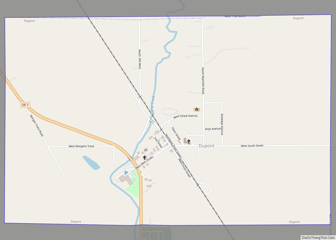
Online Interactive Map
Click on ![]() to view map in "full screen" mode.
to view map in "full screen" mode.
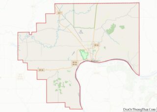
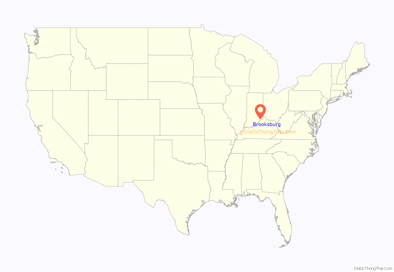
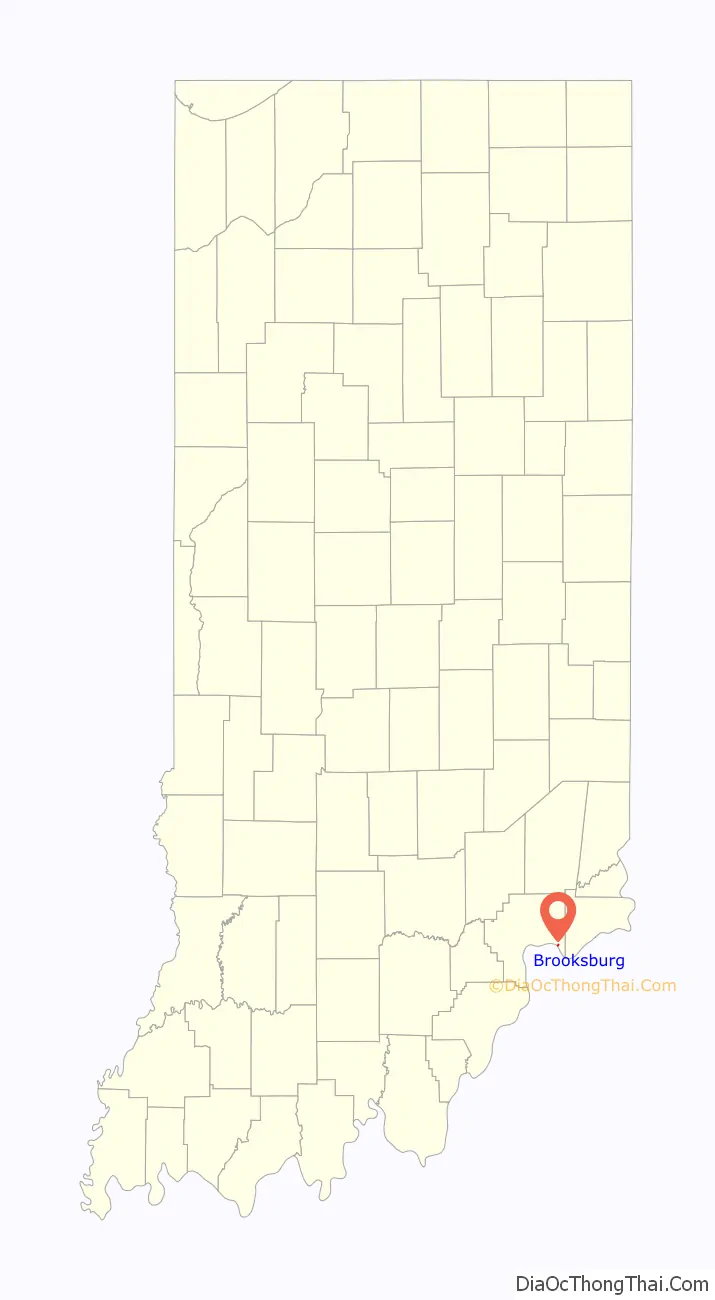
Brooksburg location map. Where is Brooksburg town?
History
Brooksburg was platted in 1843. It was named for Noah Brooks, one of its founders. Brooksburg was incorporated as a town on August 24, 1878.
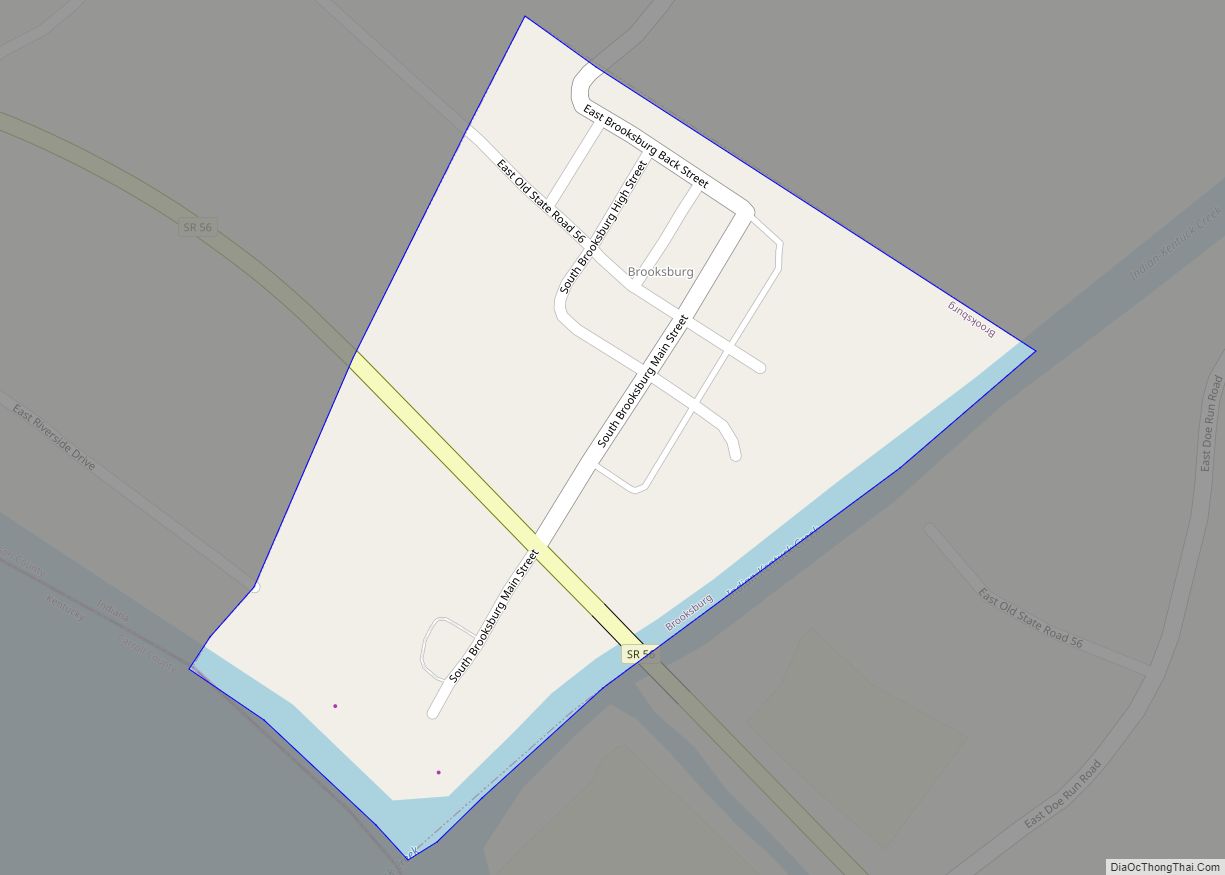
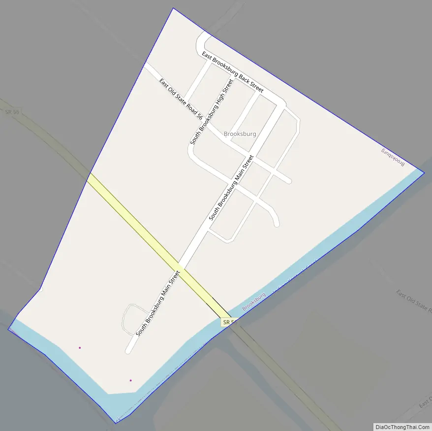
Brooksburg Road Map
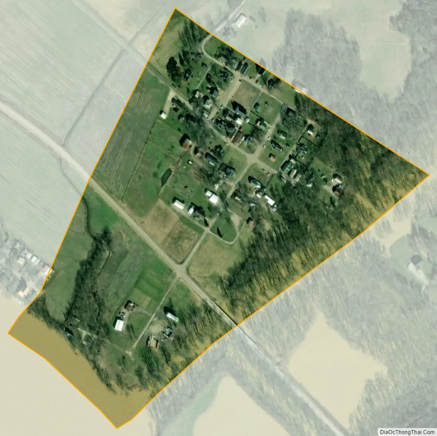
Brooksburg city Satellite Map
Geography
Brooksburg is located at 38°44′9″N 85°14′44″W / 38.73583°N 85.24556°W / 38.73583; -85.24556 (38.735781, -85.245524). It is located on the south side of the Indian-Kentuck Creek just north of State Road 56 and just before the creek enters the Ohio River.
Brooksburg is home to some classic tobacco barns. Brooksburg also has some buildings dating back to the mid-to-late 19th century. One example is the “Webster” house (named after its original occupants) that was built in the 1870s. This house is now owned by the Fisher family who have resided there for many years and own land in the surrounding area, including four houses in the town itself.
According to the 2010 census, Brooksburg has a total area of 0.11 square miles (0.28 km), of which 0.1 square miles (0.26 km) (or 90.91%) is land and 0.01 square miles (0.03 km) (or 9.09%) is water.
See also
Map of Indiana State and its subdivision:- Adams
- Allen
- Bartholomew
- Benton
- Blackford
- Boone
- Brown
- Carroll
- Cass
- Clark
- Clay
- Clinton
- Crawford
- Daviess
- De Kalb
- Dearborn
- Decatur
- Delaware
- Dubois
- Elkhart
- Fayette
- Floyd
- Fountain
- Franklin
- Fulton
- Gibson
- Grant
- Greene
- Hamilton
- Hancock
- Harrison
- Hendricks
- Henry
- Howard
- Huntington
- Jackson
- Jasper
- Jay
- Jefferson
- Jennings
- Johnson
- Knox
- Kosciusko
- LaGrange
- Lake
- Lake Michigan
- LaPorte
- Lawrence
- Madison
- Marion
- Marshall
- Martin
- Miami
- Monroe
- Montgomery
- Morgan
- Newton
- Noble
- Ohio
- Orange
- Owen
- Parke
- Perry
- Pike
- Porter
- Posey
- Pulaski
- Putnam
- Randolph
- Ripley
- Rush
- Saint Joseph
- Scott
- Shelby
- Spencer
- Starke
- Steuben
- Sullivan
- Switzerland
- Tippecanoe
- Tipton
- Union
- Vanderburgh
- Vermillion
- Vigo
- Wabash
- Warren
- Warrick
- Washington
- Wayne
- Wells
- White
- Whitley
- Alabama
- Alaska
- Arizona
- Arkansas
- California
- Colorado
- Connecticut
- Delaware
- District of Columbia
- Florida
- Georgia
- Hawaii
- Idaho
- Illinois
- Indiana
- Iowa
- Kansas
- Kentucky
- Louisiana
- Maine
- Maryland
- Massachusetts
- Michigan
- Minnesota
- Mississippi
- Missouri
- Montana
- Nebraska
- Nevada
- New Hampshire
- New Jersey
- New Mexico
- New York
- North Carolina
- North Dakota
- Ohio
- Oklahoma
- Oregon
- Pennsylvania
- Rhode Island
- South Carolina
- South Dakota
- Tennessee
- Texas
- Utah
- Vermont
- Virginia
- Washington
- West Virginia
- Wisconsin
- Wyoming