Kendall County is a county located on the Edwards Plateau in the U.S. state of Texas. In 2020 census, its population was 44,279. Its county seat is Boerne. The county is named for George Wilkins Kendall, a journalist and Mexican–American War correspondent.
Kendall County is part of the San Antonio–New Braunfels, TX metropolitan statistical area.
Progressive Farmer rated Kendall County fifth in its list of the “Best Places to Live in Rural America” in 2006.
Kendall, along with Hays and Comal Counties, was listed in 2017 of the nation’s 10 fastest-growing large counties with a population of at least 10,000. From 2015 to 2016, Kendall County, the second-fastest-growing county in the nation, grew by 5.16%, gaining 2,088 people in a one-year period.
| Name: | Kendall County |
|---|---|
| FIPS code: | 48-259 |
| State: | Texas |
| Founded: | 1862 |
| Named for: | George Wilkins Kendall |
| Seat: | Boerne |
| Largest city: | Boerne |
| Total Area: | 663 sq mi (1,720 km²) |
| Land Area: | 662 sq mi (1,710 km²) |
| Total Population: | 44,279 |
| Population Density: | 67/sq mi (26/km²) |
| Time zone: | UTC−6 (Central) |
| Summer Time Zone (DST): | UTC−5 (CDT) |
| Website: | www.co.kendall.tx.us |
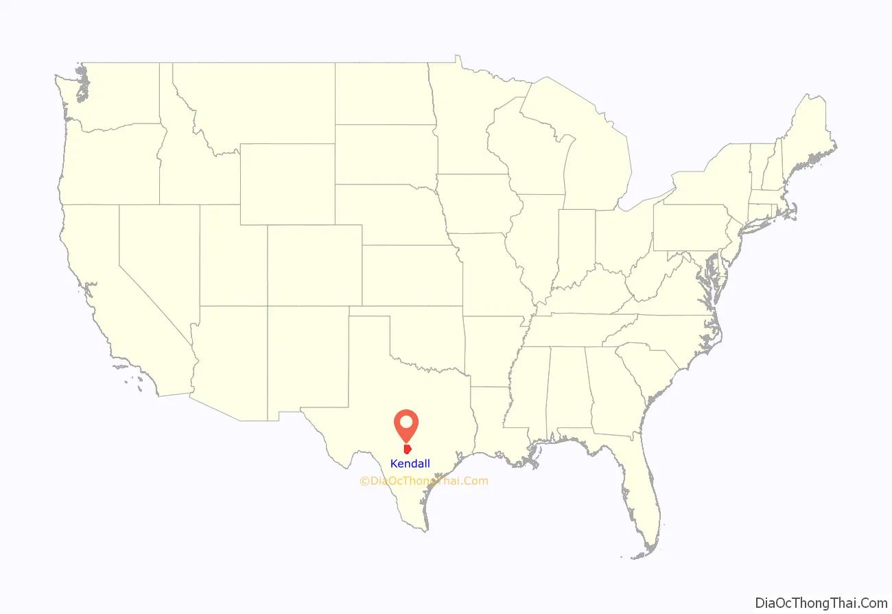
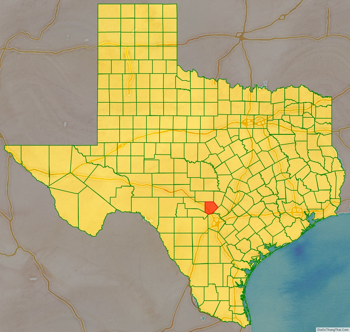
Kendall County location map. Where is Kendall County?
History
Before 1850
- Early Native American inhabitants included Kiowa, Comanche, and Lipan Apache.
- In the 1700s, Lipan Apaches discovered Cascade Caverns.
- 1842
- 1844, June 26 – Henry Francis Fisher sold his interest in the land grant to Adelsverein.
- 1845
- 1847
- 1849 Freethinkers Bettina colonists from Llano County settled Tusculum, named after Cicero’s home in ancient Rome. The initial community banned any churches from being erected. The town was later renamed Boerne, for German-Jewish political writer Ludwig Börne, who influenced Karl Marx.
1850–1899
- 1850s George W. Kendall introduced sheep ranching to the county.
- 1854
- 1860 Boerne Village Band was formed by Karl Dienger.
- 1861 Unionists from Kerr, Gillespie, and Kendall Counties participated in the formation of the Union League, a secret organization to support President Abraham Lincoln’s policies.
- 1862
- 1866 Samuel Boyd Patton was elected chief justice after his home became part of Kendall County which had been Blanco County.
- 1866, August 10 – Treue der Union Monument (“Loyalty to the Union”) in Comfort dedicated to the German Texans slain at the Nueces massacre. It is one of only six such sites allowed to fly the United States flag at half-mast in perpetuity.
- 1870 The original Kendall County limestone courthouse was built (Italianate architecture), with architects Philip Zoeller and J. F. Stendebach.
- 1885
- 1887 San Antonio and Aransas Pass Railway began a Boerne-to-San Antonio route.
- 1897, May 27 – John O. Meusebach died at his farm at Loyal Valley in Mason County, and was buried in the Marschall Meusebach Cemetery at Cherry Spring.
1900–present
- 1900 Kendall County had 542 farms. Area under cultivation had risen from 153,921 acres (622.90 km) in 1880 to 339,653 acres (1,374.53 km). Stockraising was still the principal industry.
- 1905 Citizens of Boerne gathered to share agricultural information, recipes, and news of events. This later became the annual Kendall County Fair.
- 1913 The Kendall County Fair Association was organized and was awarded a nonprofit corporate charter from the State of Texas.
- 1914 Fredericksburg and Northern Railway connected Fredericksburg with the San Antonio and Aransas Pass Railway track just east of Comfort.
- 1918 A hygieostatic bat roost house was built in Comfort to attract bats to eradicate mosquitoes and reduce the spread of malaria. It was designed for former San Antonio Mayor Albert Steves Sr., by bat authority Dr. Charles A. R. Campbell.
- 1930s
- World War II – American military bases in the San Antonio area provided jobs for Kendall County residents.
- 1983 The Guadalupe River State Park opened to the public.
- 1988 The Federal Republic of Germany recognized the Boerne Village Band for its contribution to the German heritage in Texas and America.
- 1990, Earth Day – Cibolo Nature Center opened to the public.
- 1991 The Texas Legislature adopted a resolution recognizing the Boerne Village Band for “keeping alive German music as a part of our heritage.”
- 1998 The current Kendall County limestone, steel, and concrete courthouse was built in Boerne, across the street from the original 1870 courthouse with architect Rehler Vaughn & Koone, Inc.
- 2005 Kendall County celebrated its 100th anniversary of the Kendall County Fair. The Kendall County Fair Association continues to produce one of the few remaining entirely privately funded county fairs in Texas.
- 2013 The Kendall County Fair Association, Inc. celebrated its 100th year of existence.
- 2015 Kendall County declared a state of emergency from May flooding.
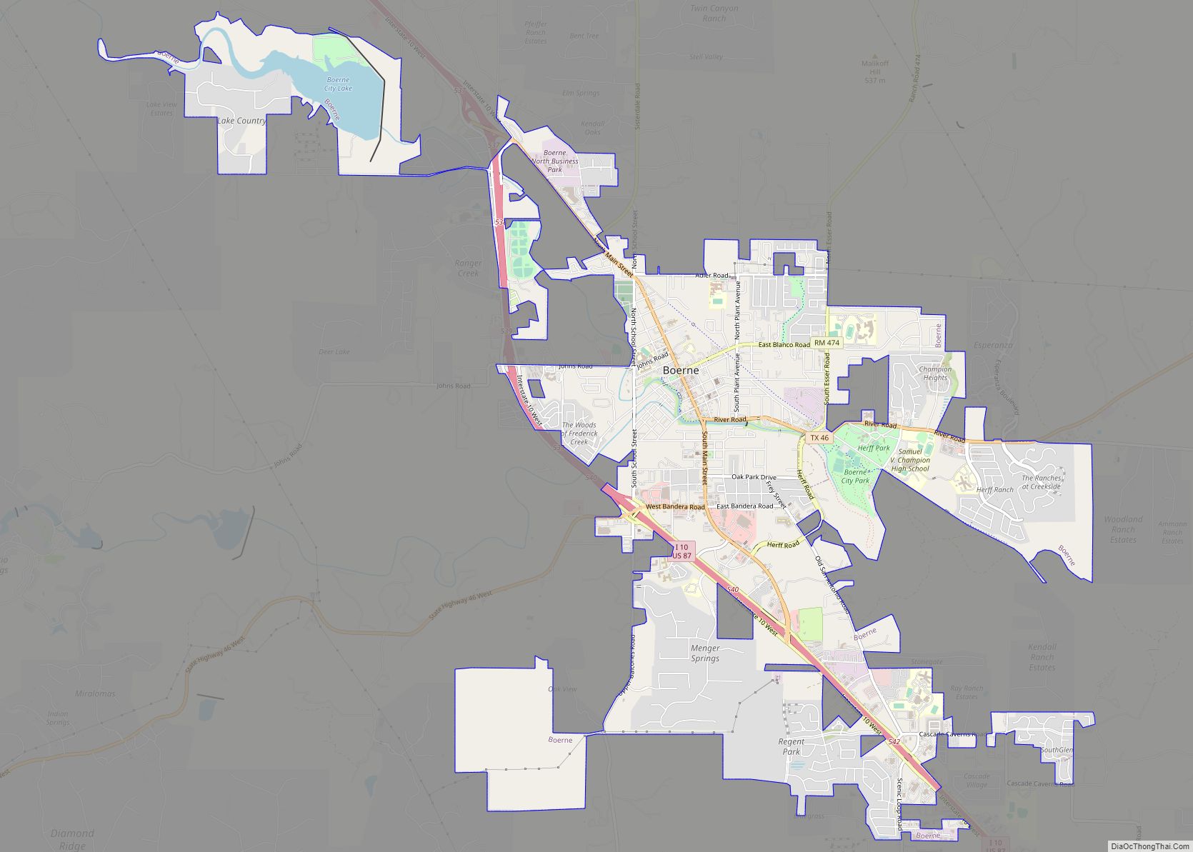
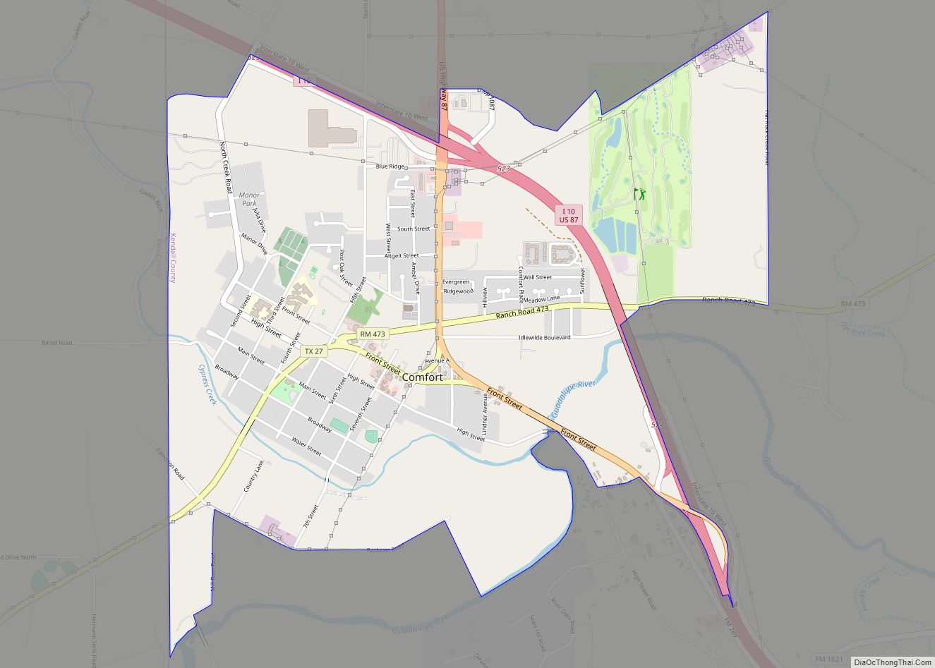
Kendall County Road Map
Geography
According to the U.S. Census Bureau, the county has a total area of 663 square miles (1,720 km), of which 662 square miles (1,710 km) are land and 0.6 square miles (1.6 km) (0.09%) is covered by water.
Major highways
- Interstate 10
- U.S. Highway 87 (Old Spanish Trail)
- U.S. Highway 87 Business (Main Street)
- U.S. Highway 87 Business (Old Spanish Trail)
- State Highway 27 (Old Spanish Trail)
- State Highway 46
- Farm To Market Road 289 (Old Spanish Trail)
- Farm to Market Road 1621
- Farm to Market Road 3351
- Ranch to Market Road 473
- Ranch to Market Road 474
- Ranch to Market Road 1376
- Ranch to Market Road 3160 (formerly part of FM 3351)
- Old Spanish Trail (auto trail)
- Glacier to Gulf Highway
Adjacent counties
- Gillespie County (north)
- Blanco County (northeast)
- Comal County (southeast)
- Bexar County (south)
- Bandera County (southwest)
- Kerr County (west)
Waterways
- Guadalupe River
Caves
- Cave Without a Name
- Spring Creek Cave
- Prassell Ranch Cave
- Three Whirlpool Cave
- Cascade Caverns
- Pfeiffer’s Water Cave
- Alzafar Water Cave
- Reed Cave
