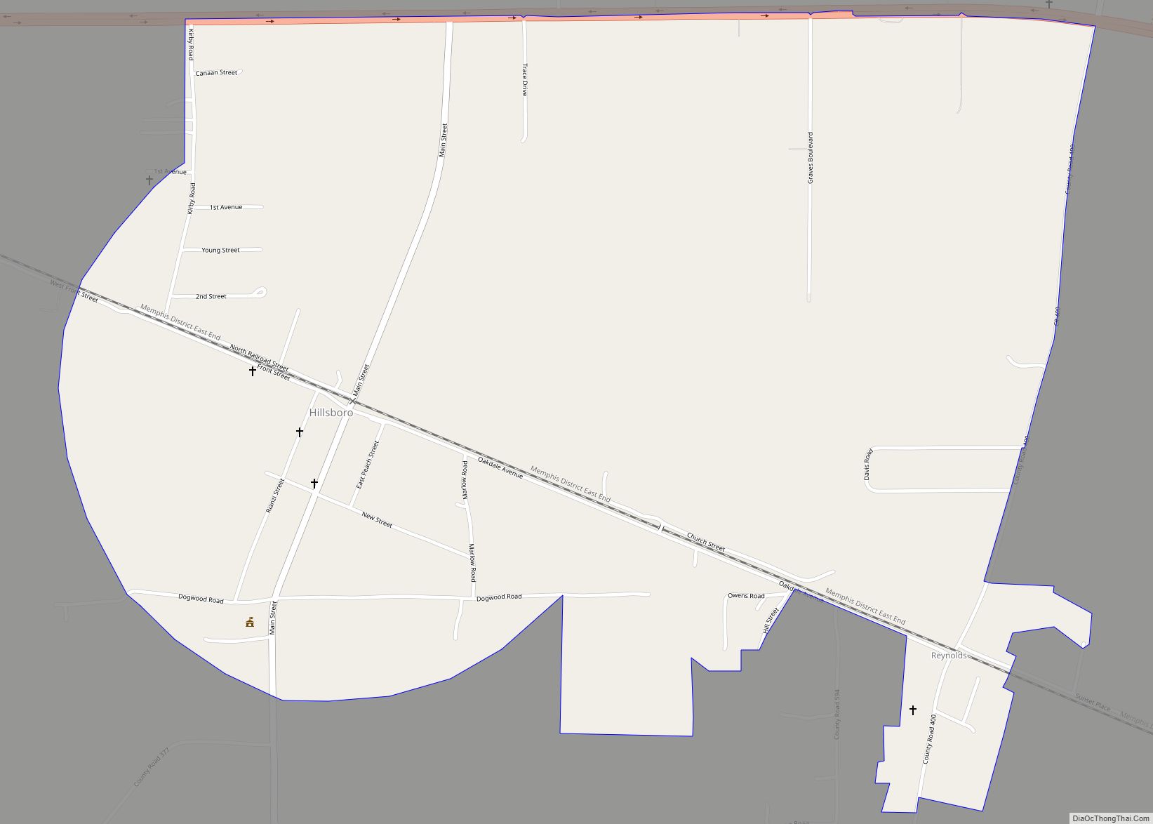
Hillsboro is a town in Lawrence County, Alabama, and is included in the Decatur Metropolitan Area, as well as the Huntsville-Decatur Combined Statistical Area. It was incorporated in 1899. As of the 2010 census, the population of the town is 552, down from its record high of 608 in 2000. Along with North Courtland, it is one of two majority black communities in Lawrence County out of its six populated communities as of 2010.
| Name: | Hillsboro town |
|---|---|
| LSAD Code: | 43 |
| LSAD Description: | town (suffix) |
| State: | Alabama |
| County: | Lawrence County |
| Elevation: | 597 ft (182 m) |
| Total Area: | 1.88 sq mi (4.88 km²) |
| Land Area: | 1.88 sq mi (4.87 km²) |
| Water Area: | 0.00 sq mi (0.01 km²) |
| Total Population: | 407 |
| Population Density: | 216.37/sq mi (83.53/km²) |
| ZIP code: | 35643 |
| Area code: | 256 |
| FIPS code: | 0134816 |
| GNISfeature ID: | 2405838 |
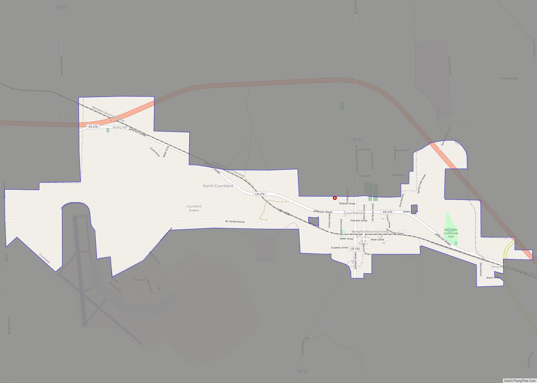
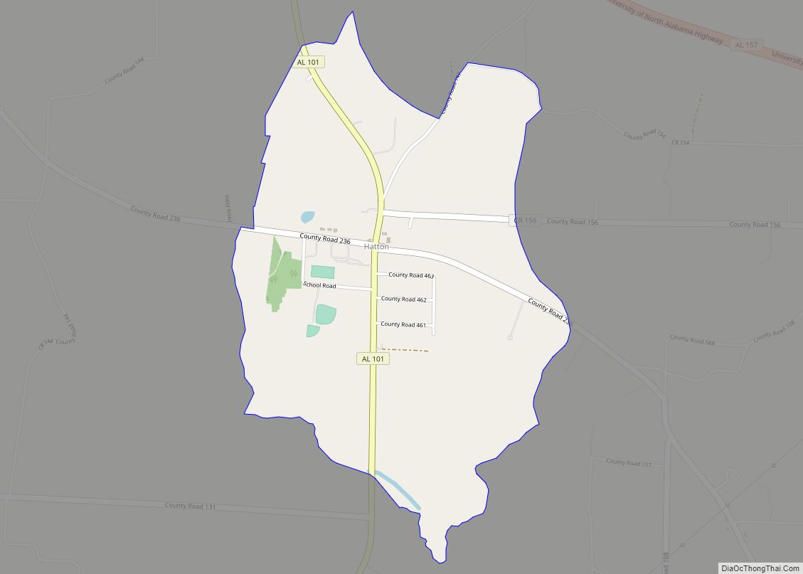
Online Interactive Map
Click on ![]() to view map in "full screen" mode.
to view map in "full screen" mode.
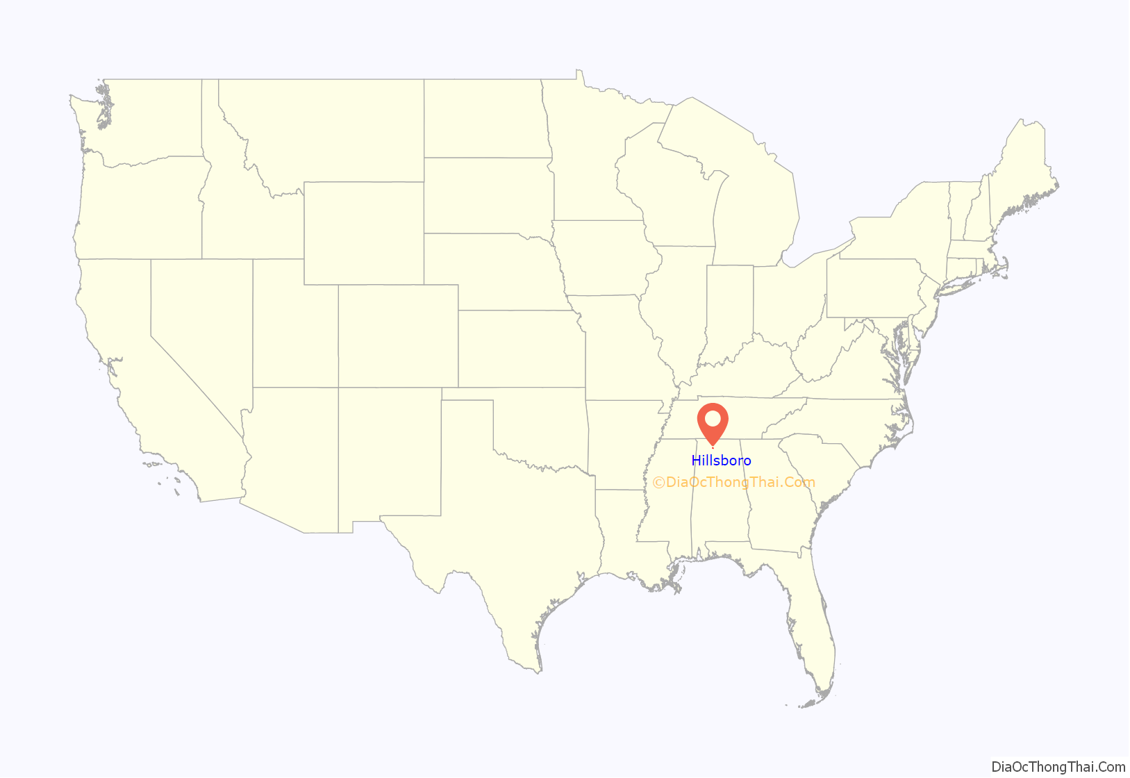
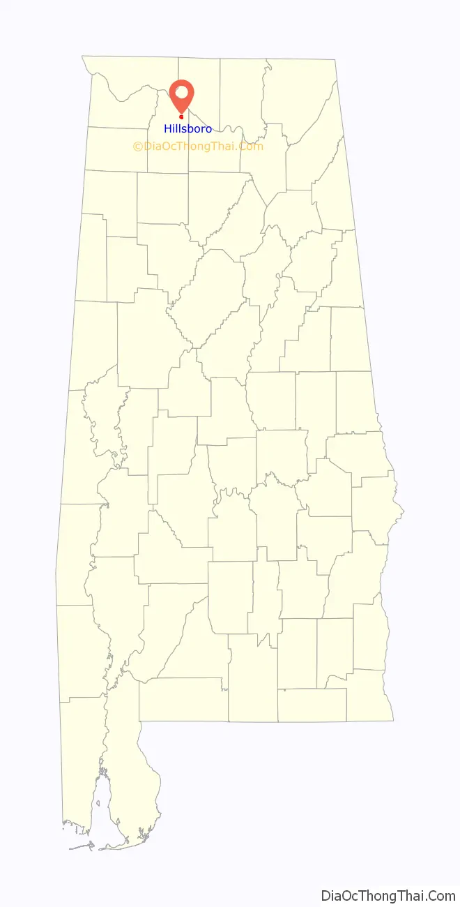
Hillsboro location map. Where is Hillsboro town?
History
Hillsboro began in the late 1830s as a small community known as “Gilmersville,” which was located east of the current town. The name was inspired by a family of early settlers. When the railroad was constructed through the area in the 1860s, the town shifted to its current location along the tracks. The town developed throughout the latter half of the 19th century as an important refueling stop for trains and a local shipping center. The town’s name was eventually changed to “Hillsborough,” and the current spelling was adopted in 1891.
Hillsboro Road Map

Hillsboro city Satellite Map

Geography
Hillsboro is located at 34°38′17″N 87°11′18″W / 34.63806°N 87.18833°W / 34.63806; -87.18833 (34.638029, -87.188287). The town is concentrated along County Road 217 (Main Street) just south of the road’s railroad crossing, a few miles west of Decatur, and a few miles south of Wheeler Lake. The town’s municipal boundaries extend northward to U.S. Route 72.
According to the U.S. Census Bureau, the town has a total area of 1.9 square miles (4.9 km), all land.
See also
Map of Alabama State and its subdivision:- Autauga
- Baldwin
- Barbour
- Bibb
- Blount
- Bullock
- Butler
- Calhoun
- Chambers
- Cherokee
- Chilton
- Choctaw
- Clarke
- Clay
- Cleburne
- Coffee
- Colbert
- Conecuh
- Coosa
- Covington
- Crenshaw
- Cullman
- Dale
- Dallas
- De Kalb
- Elmore
- Escambia
- Etowah
- Fayette
- Franklin
- Geneva
- Greene
- Hale
- Henry
- Houston
- Jackson
- Jefferson
- Lamar
- Lauderdale
- Lawrence
- Lee
- Limestone
- Lowndes
- Macon
- Madison
- Marengo
- Marion
- Marshall
- Mobile
- Monroe
- Montgomery
- Morgan
- Perry
- Pickens
- Pike
- Randolph
- Russell
- Saint Clair
- Shelby
- Sumter
- Talladega
- Tallapoosa
- Tuscaloosa
- Walker
- Washington
- Wilcox
- Winston
- Alabama
- Alaska
- Arizona
- Arkansas
- California
- Colorado
- Connecticut
- Delaware
- District of Columbia
- Florida
- Georgia
- Hawaii
- Idaho
- Illinois
- Indiana
- Iowa
- Kansas
- Kentucky
- Louisiana
- Maine
- Maryland
- Massachusetts
- Michigan
- Minnesota
- Mississippi
- Missouri
- Montana
- Nebraska
- Nevada
- New Hampshire
- New Jersey
- New Mexico
- New York
- North Carolina
- North Dakota
- Ohio
- Oklahoma
- Oregon
- Pennsylvania
- Rhode Island
- South Carolina
- South Dakota
- Tennessee
- Texas
- Utah
- Vermont
- Virginia
- Washington
- West Virginia
- Wisconsin
- Wyoming