Sanibel is an island and city in Lee County, Florida, United States. The population was 6,382 at the 2020 census. It is part of the Cape Coral-Fort Myers, Florida Metropolitan Statistical Area. The island, also known as Sanibel Island, constitutes the entire city. It is a barrier island—a collection of sand on the leeward side of the more solid coral-rock of Pine Island.
Most of the city proper is at the east end of the island. After the Sanibel causeway was built to replace the ferry in May 1963, the city was incorporated in 1974 and the residents asserted control over development by establishing the Sanibel Comprehensive Land Use Plan, helping to maintain a balance between development and preservation of the island’s ecology. In September 2022, the causeway was heavily damaged by Hurricane Ian.
Due to easy causeway access, Sanibel is a popular tourist destination known for its shell beaches and wildlife refuges. More than half of the island is made up of wildlife refuges, the largest being J. N. “Ding” Darling National Wildlife Refuge. The Island hosts the Sanibel Historical Village and a variety of other museums including the Bailey-Matthews National Shell Museum.
| Name: | Sanibel city |
|---|---|
| LSAD Code: | 25 |
| LSAD Description: | city (suffix) |
| State: | Florida |
| County: | Lee County |
| Elevation: | 3 ft (0.9 m) |
| Total Area: | 33.21 sq mi (86.01 km²) |
| Land Area: | 16.18 sq mi (41.90 km²) |
| Water Area: | 17.03 sq mi (44.10 km²) 48.13% |
| Total Population: | 6,382 |
| Population Density: | 394.44/sq mi (152.30/km²) |
| ZIP code: | 33957 |
| Area code: | 239 |
| FIPS code: | 1263700 |
| GNISfeature ID: | 0290637 |
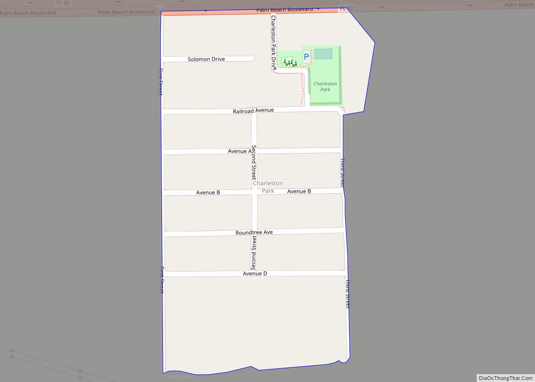
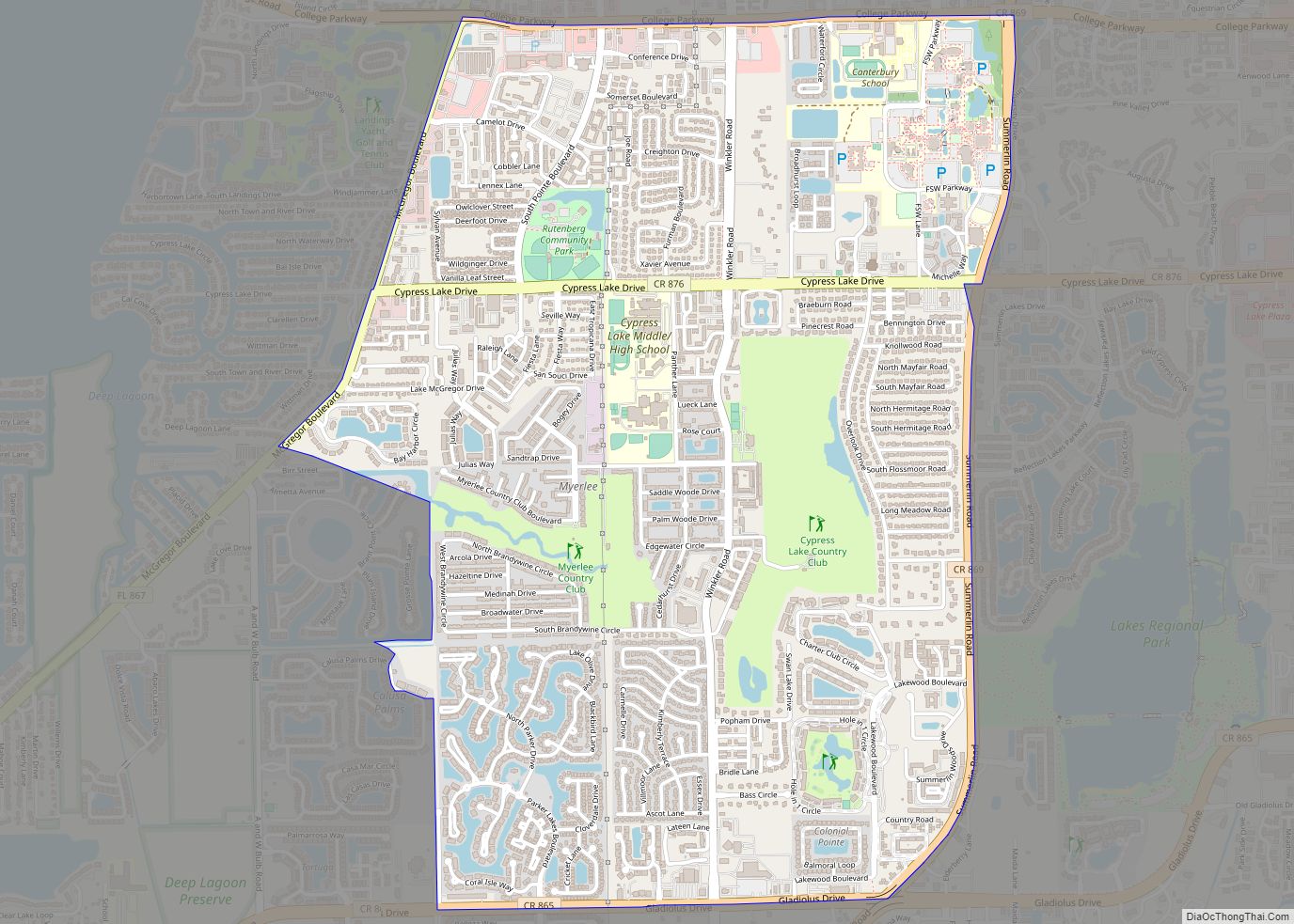
Online Interactive Map
Click on ![]() to view map in "full screen" mode.
to view map in "full screen" mode.
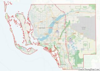
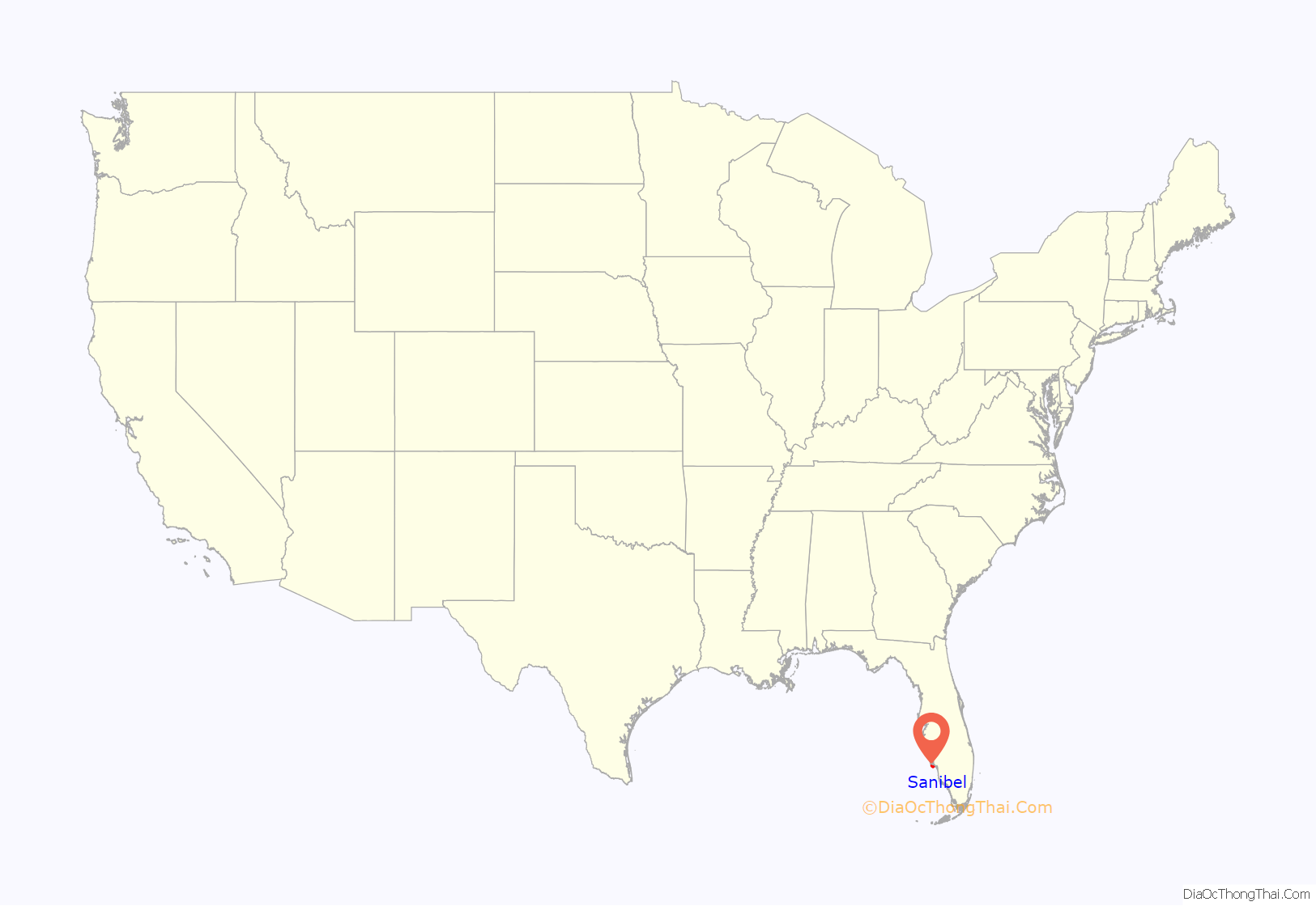
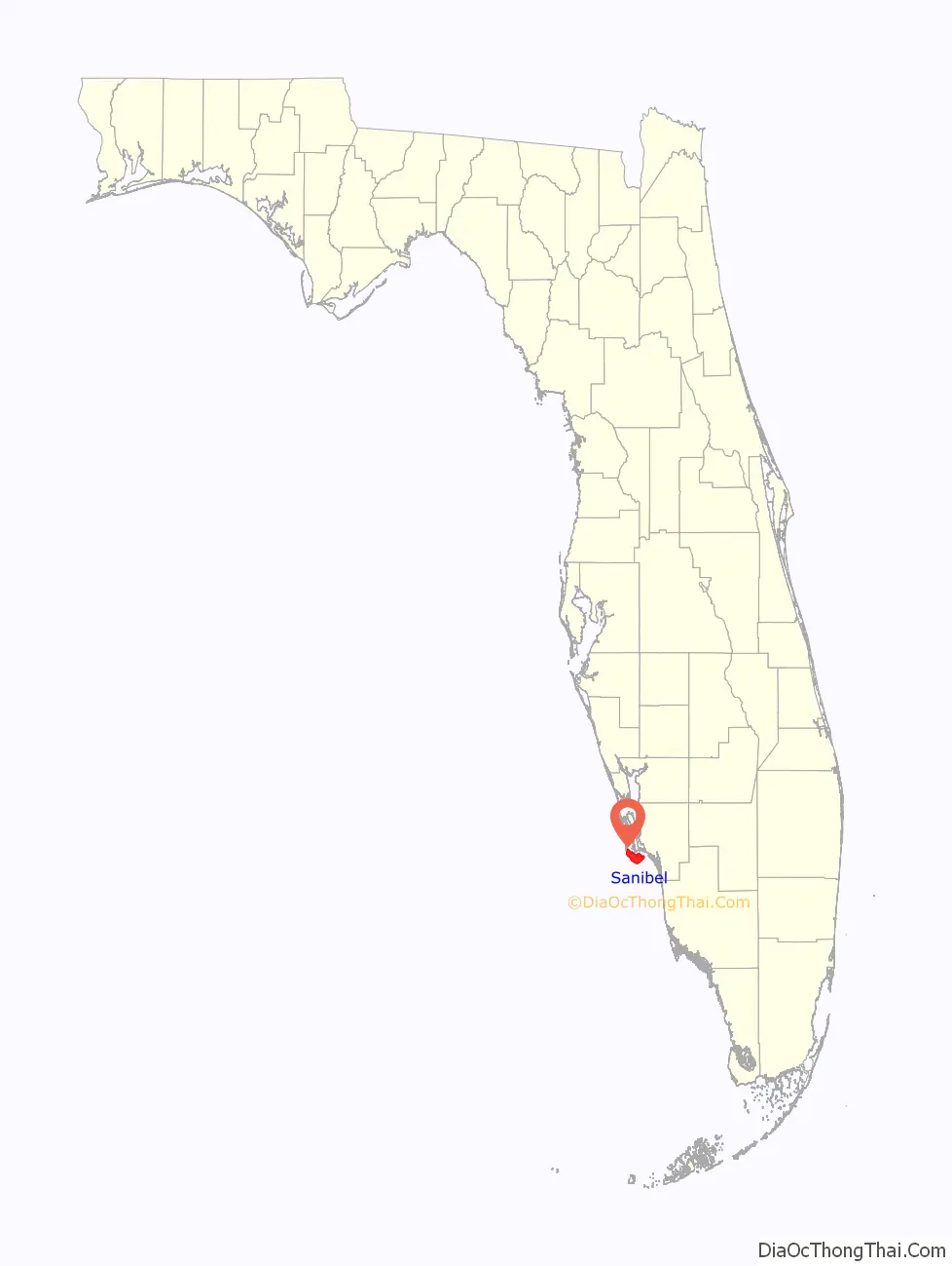
Sanibel location map. Where is Sanibel city?
History
Sanibel and Captiva formed as one island about 6,000 years ago. The first known humans in the area were the Calusa, who arrived about 2,500 years ago. The Calusa were a powerful Indian nation who came to dominate most of Southwest Florida through trade via their elaborate system of canals and waterways. Sanibel remained an important Calusa settlement until the collapse of their empire, soon after the arrival of the Europeans.
During the 1700s, Cuban fishermen would seasonally travel from their homes and set up fishing camps along the Gulf Coast, called ranchos, including on Sanibel Island.
In 1765, the first known appearance of a harbor on Sanibel is shown on a map as Puerto de S. Nibel (the “v” and “b” being interchangeable); thus, the name may have evolved from “San Nibel”. Alternatively, the name may derive, as many believe, from “(Santa) Ybel”, which survives in the old placename “Point Ybel”, where the Sanibel Island Light is located. How it would have gotten this name, however, is a matter of conjecture. One story says it was named by Juan Ponce de León for Queen Isabella I of Castile; the island may indeed be named for this queen or the saint whose name she shares, either by Ponce de León or someone later. Another attributes the name to Roderigo Lopez, the first mate of José Gaspar (Gasparilla), after his beautiful lover Sanibel whom he had left behind in Spain. Like most of the lore surrounding Gasparilla, however, this story is apocryphal, as the above references to recognizable variants of the name predate the buccaneer’s supposed reign.
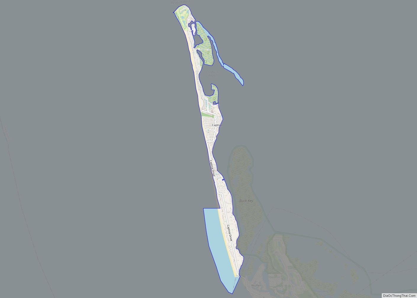
Sanibel is not the only island in the area to figure prominently in the legends of Gaspar; Captiva, Useppa, and Gasparilla are also connected. Sanibel also appears in another tale, this one involving Gaspar’s ally-turned-rival Black Caesar, said to have been a former Haitian slave who escaped during the Haitian Revolution to become a pirate. According to folklore, Black Caesar came to the Gulf of Mexico during the War of 1812 to avoid interference from the British. In the Gulf he befriended Gasparilla, who allowed him to establish himself on Sanibel Island. Eventually the old Spaniard discovered Caesar had been stealing from him and chased him off, but not before his loot had been buried.
In 1832 the Florida Peninsular Land Company established a settlement on Sanibel (then spelled “Sanybel”). However, the colony never took off, and was abandoned by 1849. It was this group that initially petitioned for a lighthouse on the island. The island was re-populated after the implementation of the Homestead Act in 1862, and again a lighthouse was petitioned. Construction on the Sanibel Island Lighthouse was completed in 1884, but the community remained small.
In May 1963 a causeway linking Sanibel and Captiva to the mainland was opened, resulting in an explosion of growth. The City of Sanibel passed new restrictions on development after it was incorporated; these were challenged by developers, to no avail. Currently the only buildings on the island taller than two stories date before 1974, and there are no fast food or chain restaurants allowed on the island except a Dairy Queen and a Subway, which were on the island before the laws were enacted. A new causeway was completed in 2007; it replaced the worn out 1963 spans, which were not designed to carry heavy loads or large numbers of vehicles. The new bridge features a “flyover” span tall enough for sailboats to pass under, replacing the old bridge’s bascule drawbridge span. The original bridge was demolished and its remains were sunk into the water to create artificial reefs in the Gulf of Mexico.
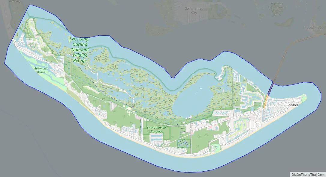
Sanibel Road Map
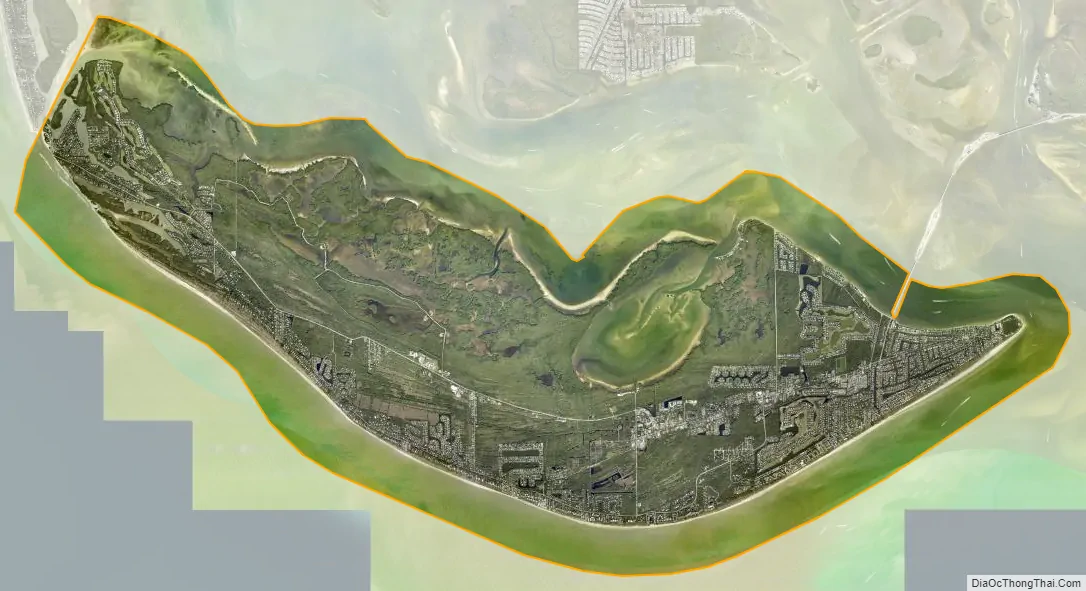
Sanibel city Satellite Map
Geography
Sanibel is located at 26°26′23″N 82°4′50″W / 26.43972°N 82.08056°W / 26.43972; -82.08056 (26.439608, –82.080456). According to the United States Census Bureau, the city has a total area of 33.16 square miles (85.9 km), of which 17.21 square miles (44.6 km) is land and 15.96 square miles (41.3 km) (48.13%) is water.
See also
Map of Florida State and its subdivision:- Alachua
- Baker
- Bay
- Bradford
- Brevard
- Broward
- Calhoun
- Charlotte
- Citrus
- Clay
- Collier
- Columbia
- Desoto
- Dixie
- Duval
- Escambia
- Flagler
- Franklin
- Gadsden
- Gilchrist
- Glades
- Gulf
- Hamilton
- Hardee
- Hendry
- Hernando
- Highlands
- Hillsborough
- Holmes
- Indian River
- Jackson
- Jefferson
- Lafayette
- Lake
- Lee
- Leon
- Levy
- Liberty
- Madison
- Manatee
- Marion
- Martin
- Miami-Dade
- Monroe
- Nassau
- Okaloosa
- Okeechobee
- Orange
- Osceola
- Palm Beach
- Pasco
- Pinellas
- Polk
- Putnam
- Saint Johns
- Saint Lucie
- Santa Rosa
- Sarasota
- Seminole
- Sumter
- Suwannee
- Taylor
- Union
- Volusia
- Wakulla
- Walton
- Washington
- Alabama
- Alaska
- Arizona
- Arkansas
- California
- Colorado
- Connecticut
- Delaware
- District of Columbia
- Florida
- Georgia
- Hawaii
- Idaho
- Illinois
- Indiana
- Iowa
- Kansas
- Kentucky
- Louisiana
- Maine
- Maryland
- Massachusetts
- Michigan
- Minnesota
- Mississippi
- Missouri
- Montana
- Nebraska
- Nevada
- New Hampshire
- New Jersey
- New Mexico
- New York
- North Carolina
- North Dakota
- Ohio
- Oklahoma
- Oregon
- Pennsylvania
- Rhode Island
- South Carolina
- South Dakota
- Tennessee
- Texas
- Utah
- Vermont
- Virginia
- Washington
- West Virginia
- Wisconsin
- Wyoming