Genesee County (/ˈdʒɛnəsi/ JEN-ə-see) is a county in the U.S. state of Michigan. As of the 2020 Census, the population was 406,211, making it the fifth-most populous county in Michigan. The county seat and population center is Flint (birthplace of General Motors). Genesee County is considered to be a part of the greater Mid Michigan area.
The county was named after Genesee County, New York, which in turn comes from the Seneca word Gen-nis’-hee-yo, meaning “Beautiful Valley”. Genesee County comprises the Flint, MI Metropolitan Statistical Area. A major attraction for visitors is Crossroads Village, a living history village north of Flint.
Genesee County is noted for having had the fossil of an ancient whale known as Balaenoptera Lacepede unearthed in Thetford Township during quarry work and estimated at 11,000 years old.
| Name: | Genesee County |
|---|---|
| FIPS code: | 26-049 |
| State: | Michigan |
| Founded: | 1835 |
| Named for: | Genesee County, New York |
| Seat: | Flint |
| Largest city: | Flint |
| Total Area: | 650 sq mi (1,700 km²) |
| Land Area: | 637 sq mi (1,650 km²) |
| Total Population: | 406,211 |
| Population Density: | 640/sq mi (250/km²) |
| Time zone: | UTC−5 (Eastern) |
| Summer Time Zone (DST): | UTC−4 (EDT) |
| Website: | www.geneseecountymi.gov |
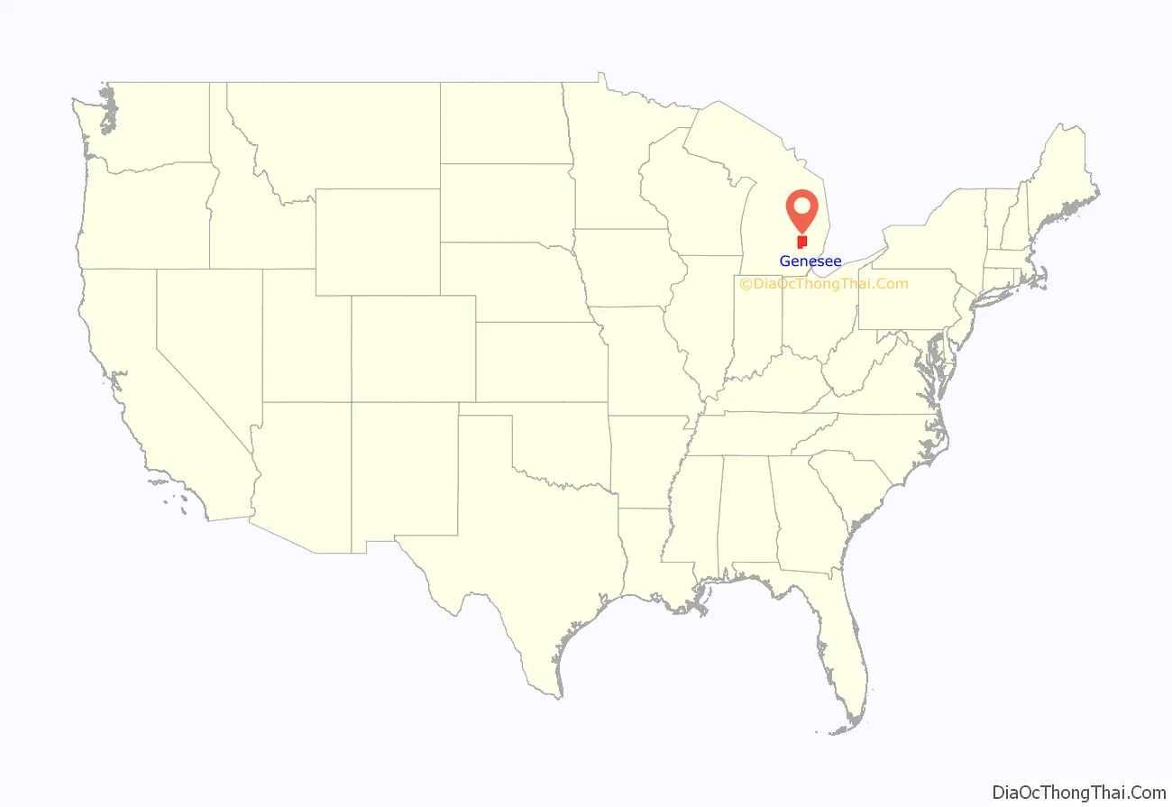
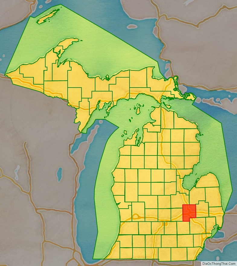
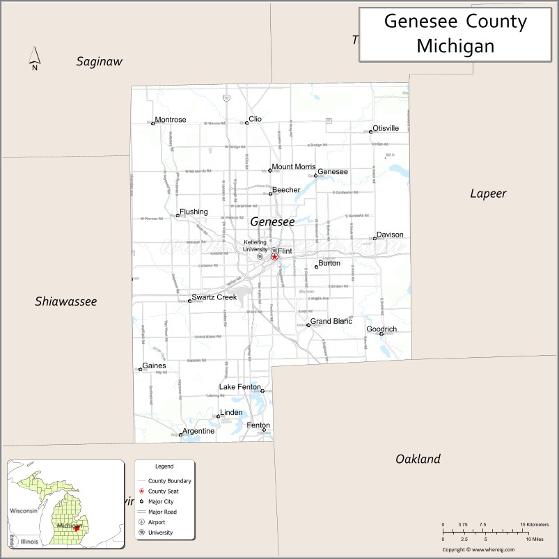
Genesee County location map. Where is Genesee County?
History
Formative period
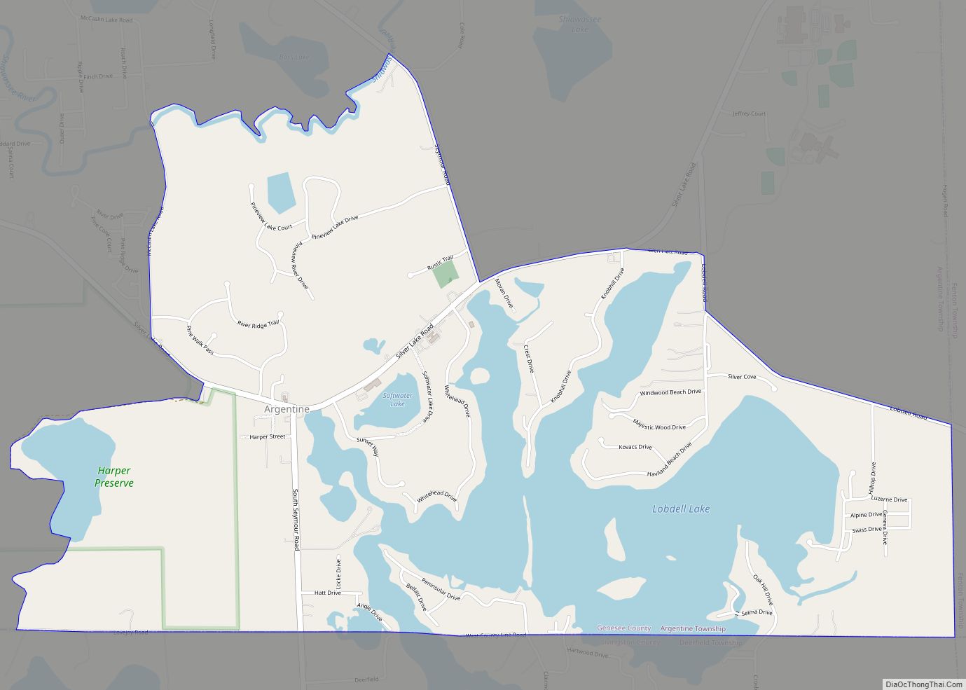
Genesee County was created on March 28, 1835, from territory taken from Lapeer, Shiawassee and Saginaw counties. The county was attached to Oakland County for judicial purposes. The only township organized at the time was Grand Blanc, formed in 1833 consisting of additional township areas of the present Fenton, Mundy, Flint, Mount Morris, Genesee, Burton, Atlas and Davison townships. (Atlas and Davision township survey areas were then in Lapeer County.) Flint Township followed in formation by the legislature on March 2, 1836, splitting away from Grand Blanc with the township areas of Burton, Genesee and Mount Morris plus additional township areas of the present day Clayton, Montrose, Flushing, Thetford and Vienna. On April 4, 1836, the county was fully organized. Organized on July 26, 1836, Argentine Township included two township survey areas taking Fenton away from Grand Blanc Township plus the current Argentine area west of Fenton.
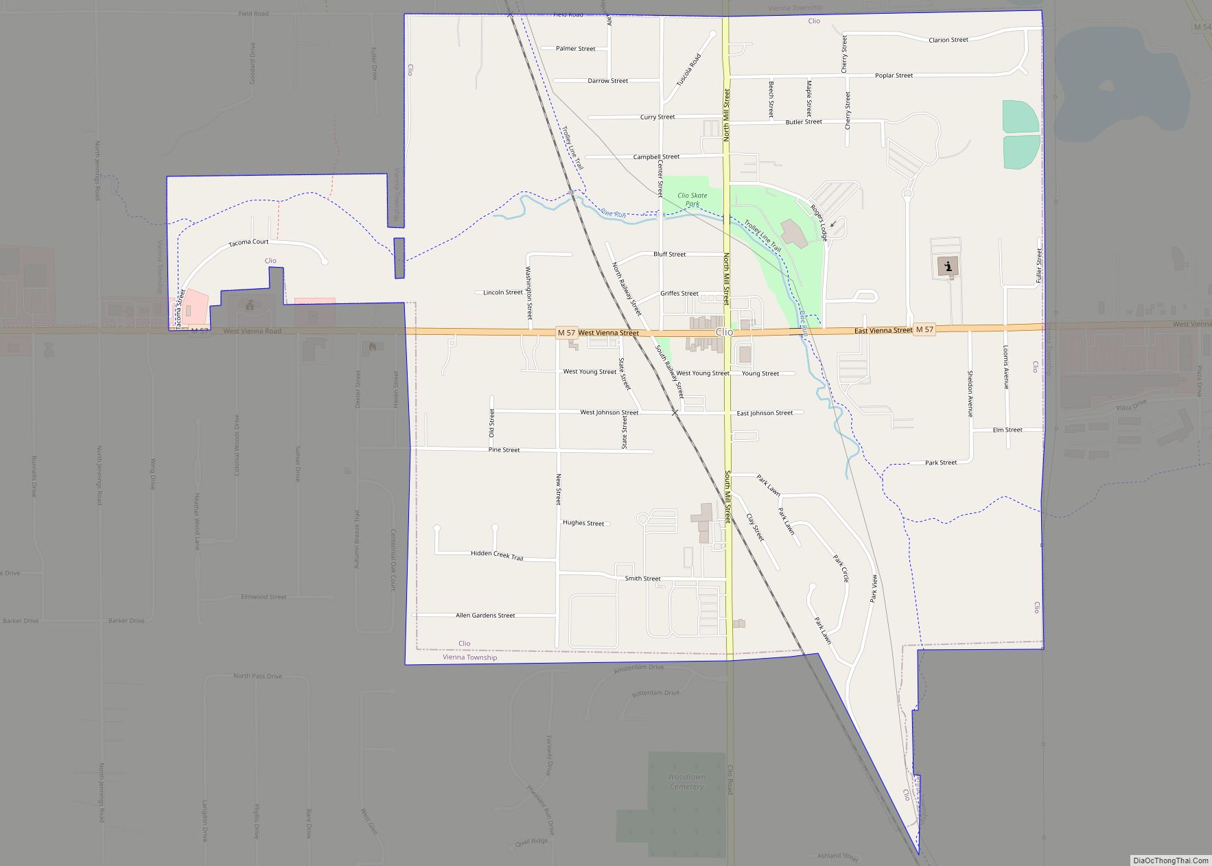
In the organizing act of March 11, 1837, two townships (Mundy and Vienna) were organized in the county. Mundy had an additional township area to the west. Vienna consisted of the northern tier of three township areas in the county at the time taking two areas from Flint Township. With this act just a week after Michigan’s admission as a state, the county was fully cover with 5 township governments.
The townships of Genesee, Fenton, and Flushing were formed on March 6, 1838. Genesee and Flushing were split off from Flint Township. Fenton was split off from Argentine Township. Genesee included half the survey area to the west. While Flushing included the other half of that survey area (township 8 North range 6 East), the full township area further west (township 8 North range 5 East) then another survey area and half the row below (township 7 North range 5,6 East). Thus Flint Township consisted of one and a half township survey areas.
15 northerly sections of survey area Township No. 7 north of range No. 7 east in Flint Township plus southerly sections of Genesee Township was set off by the Michigan legislature as Kearsley Township in 1839. On March 7, 1843, the legislature abolished this township returning the sections back to Flint and Genesee Townships. Thus Flint Township consisted of approximately one and a half township survey areas.
Two new townships were formed by the state on March 9, 1842. Thetford was the east most survey area split off from Vienna. While Gaines was formed with the western township survey of Mundy.
The county was enlarged on March 9, 1843, by adding a column of townships on its east from Lapeer County. From north to south, the townships were Forest, Richfield, Davison and Atlas.
On March 25, 1846, an additional two townships were formed, Clayton and Pewanagawink. Clayton splitting the southernmost survey area off from Flushing Township. Pewanagawink took the westernmost survey area from Vienna and changed its name to Montrose by act of January 15, 1848.
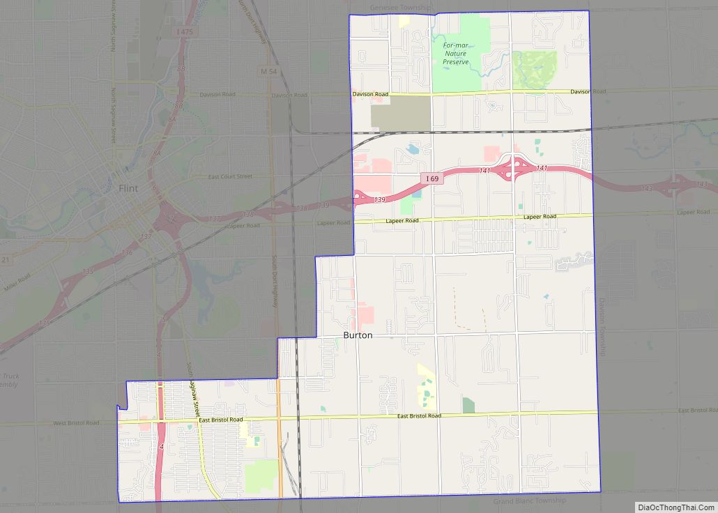
Mt. Morris Township was created on February 12, 1855, from a single survey township area with its two halves taken from Flushing and Genesee Townships. Flint Township was split into three parts upon the formation of the City of Flint. The County Board of Supervisors split the remaining township survey area into two with the western area becoming Garland Township (this name only last until the Flint name was restored on February 5, 1856) and the remaining eastern survey area became Burton Township.
Modern era
Plans for the Genesee Recreation Area was placed in Flint’s master plan in 1950. This was present to Charles Stewart Mott Foundation Board of Trustees in 1964 with C.S. Mott getting behind the plan. In 1968, the county park system was started with the purchase of vacant land. with funds from the Mott Foundation, with a stipulation that a parks commission be formed.
Flint Community Junior College was turned into a county-wide institution with a referendum and millage proposal passing the voters in 1969. To reflect this, the college was renamed Genesee Community College on July 5, 1970. In 1973, it was renamed to Charles Stewart Mott Community College after the death of C.S. Mott.
In October 2009, County Commissioners directed County Corporate Counsel to discuss with the County Prosecuting Attorney a possible merger of his office with the County Prosecuting Attorney’s Office. As of December 2011, County Counsel Ward Chapman was intending to retire by the end of the year raising the possibility again of a merger. By August 9, 2016, the two offices were merged.
Emergency Management & Homeland Security Department was merged by the County Commission into the Sheriff’s Department in June 2010 with the department director position being demoted to a manager level post while eliminating a programming coordinator. In July 2010, the County Board voted to merge the clerk and register of deeds offices, effective January 1, 2013.
On October 26, 2010, Genesee County became a founding member of the Karegnondi Water Authority with Board of Commissioners Chair Jamie W. Curtis representing the County on the Authority Board.
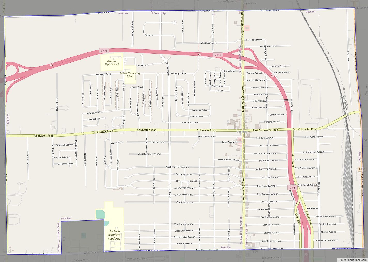
On May 30, 2012, it was reported Genesee County has had 45 confirmed tornadoes since 1950 (most notably the 1953 Flint–Beecher tornado), more than any other county in Michigan in that time period.
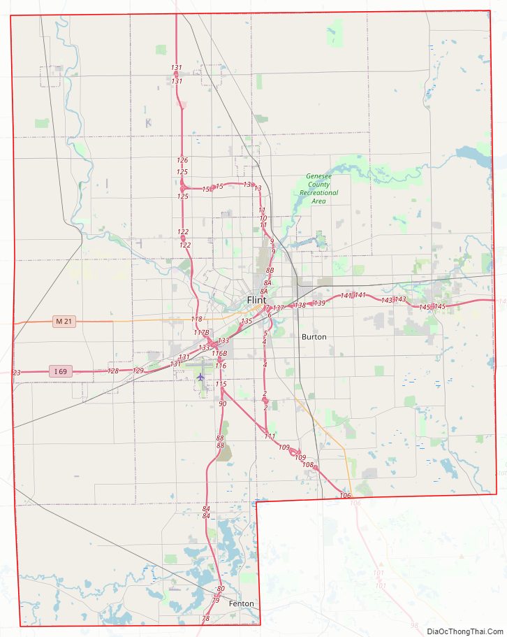
Genesee County Road Map
Geography
According to the U.S. Census Bureau, the county has a total area of 650 square miles (1,700 km), of which 637 square miles (1,650 km) is land and 13 square miles (34 km) (1.9%) is water.
Most of the land in the county is very flat, but the southern end is hilly and covered by several lakes.
The county is mostly drained by the Flint River, which is dammed into Mott Lake and the Holloway Reservoir in the northeast corner of the county. The southeast corner and southern end are drained by the Shiawassee River.
Adjacent counties
- Tuscola County (northeast)
- Lapeer County (east)
- Oakland County (southeast)
- Livingston County (southwest)
- Shiawassee County (west)
- Saginaw County (northwest)
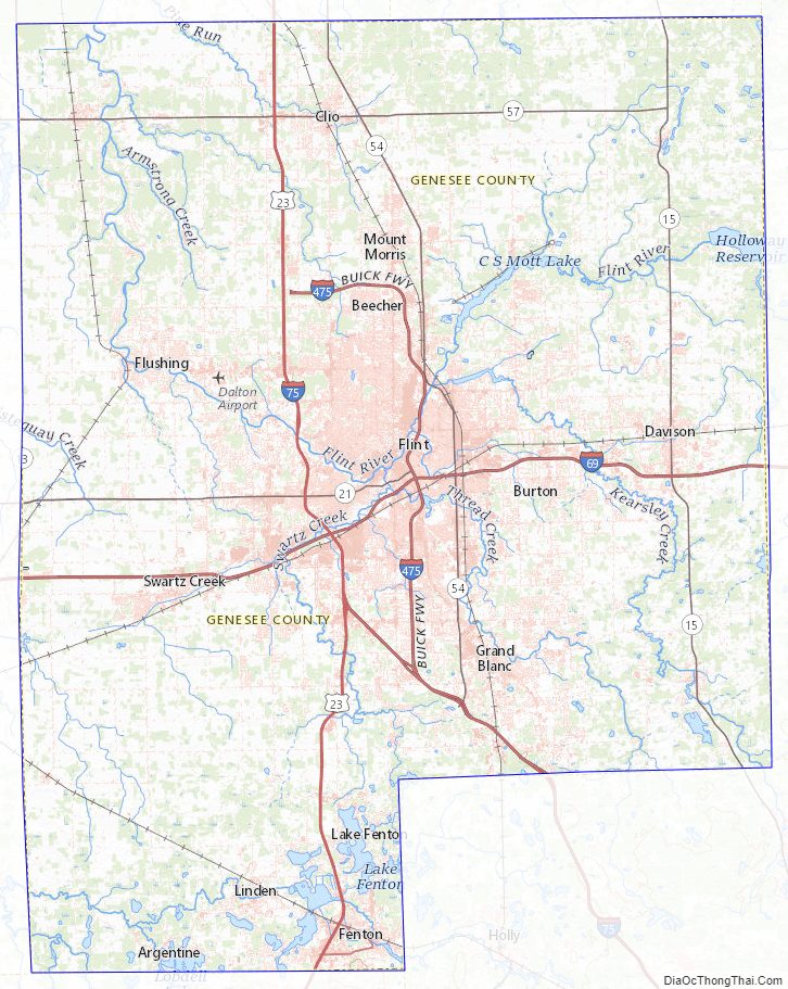
Genesee County Topographic Map
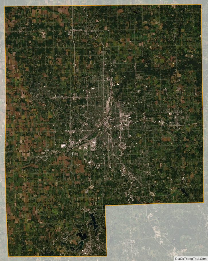
Genesee County Satellite Map
Genesee County Outline Map