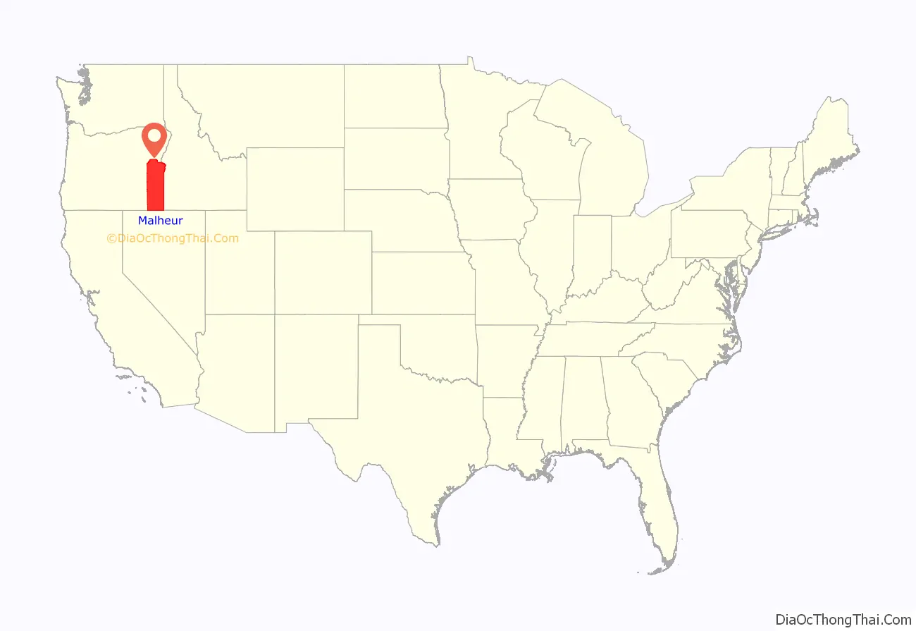
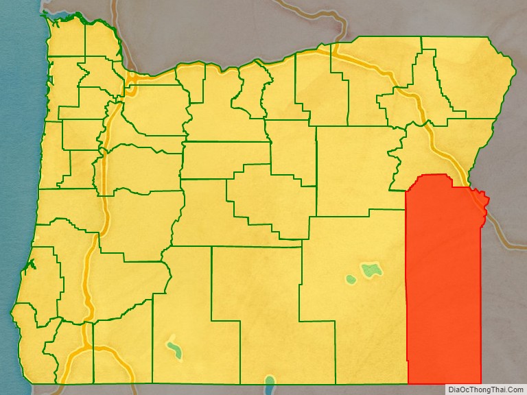
Malheur County (/mælˈhɪər/) is one of the 36 counties in the U.S. state of Oregon. As of the 2020 census, the population was 31,571. Its county seat is Vale, and its largest city is Ontario. The county was named after the Malheur River, which runs through the county. The word “malheur” is French for misfortune or tragedy. Malheur County is included in the Ontario, Oregon Micropolitan Statistical Area, which is also included in the Boise Combined Statistical Area. It is included in the eight-county definition of Eastern Oregon.
| Name: | Malheur County |
|---|---|
| FIPS code: | 41-045 |
| State: | Oregon |
| Founded: | February 17, 1887 |
| Named for: | Malheur River |
| Seat: | Vale |
| Largest city: | Ontario |
| Total Area: | 9,930 sq mi (25,700 km²) |
| Land Area: | 9,888 sq mi (25,610 km²) |
| Total Population: | 31,571 |
| Population Density: | 3.2/sq mi (1.2/km²) |
| Website: | www.malheurco.org |
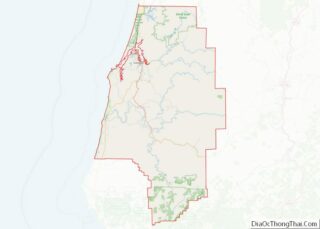
Malheur County location map. Where is Malheur County?
History
Malheur County was created February 17, 1887, from the southern territory of Baker County. It was first settled by miners and stockmen in the early 1860s. The discovery of gold in 1863 attracted further development, including settlements and ranches. Basques settled in the region in the 1890s and were mainly engaged in sheep raising.
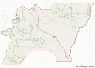
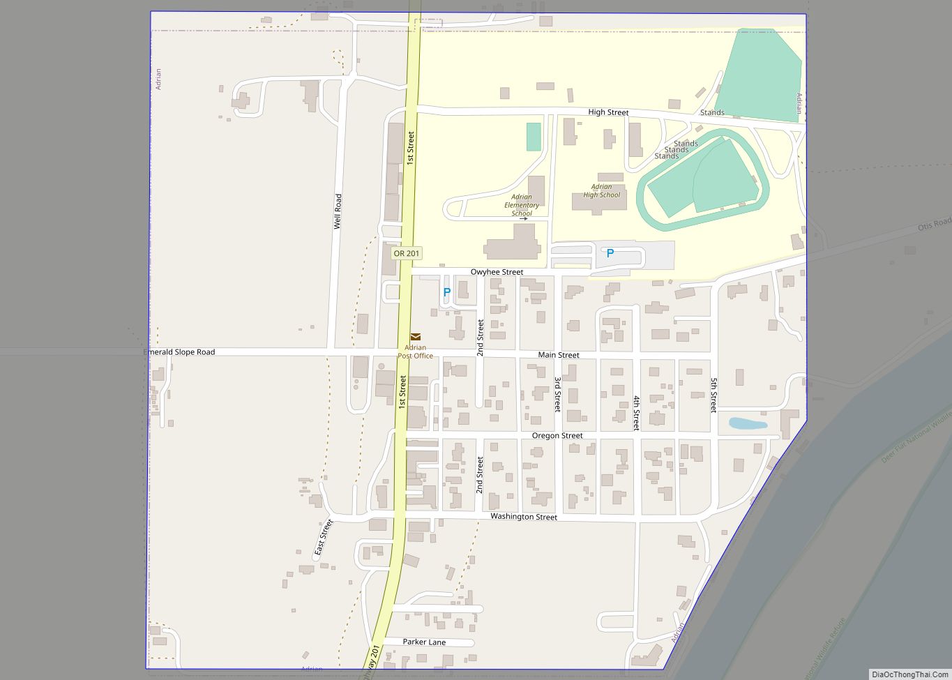
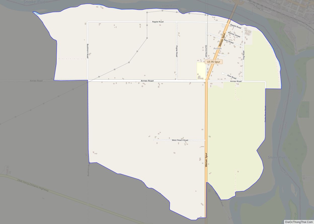
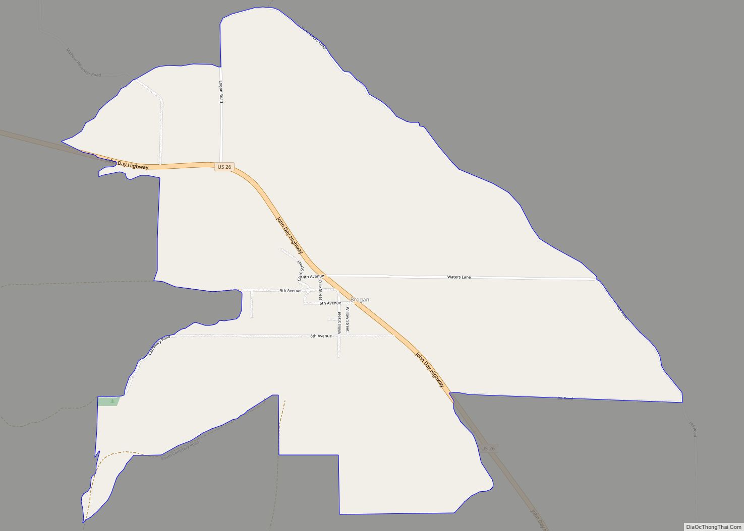
Malheur County Road Map
Geography
According to the United States Census Bureau, the county has a total area of 9,930 square miles (25,700 km), of which 9,888 square miles (25,610 km) is land and 42 square miles (110 km) (0.4%) is water. It is the second-largest county in Oregon by area and the only county in Oregon in the Mountain Time Zone.
Adjacent counties
- Grant County – northwest/Pacific Time Border
- Baker County – north/Pacific Time Border
- Washington County, Idaho – northeast
- Payette County, Idaho – east
- Canyon County, Idaho – east
- Owyhee County, Idaho – east
- Humboldt County, Nevada – south
- Harney County – west/Pacific Time Border
National protected areas
- Deer Flat National Wildlife Refuge (part)
- Malheur National Forest (part)
- Whitman National Forest (part)
Highways
- I-84
- US 20
- US 26
- US 30
- US 30 Bus.
- US 95
- OR 52
- OR 78
- OR 201
Railroads
The main railroad in Malheur County is the Oregon Eastern Railroad. This line goes from Ontario to the Celatom Plant in Vale. This railroad is all that’s left of the Wyoming Colorado Railroad, a shot line between Colorado, Wyoming and Oregon.
Time zones
Malheur County is one of the few counties in the United States with two time zones. Most of the county is in the Mountain Time Zone, but a small portion in the south is in the Pacific Time Zone, indicative of that area’s proximity to its main service town, Winnemucca, Nevada.
