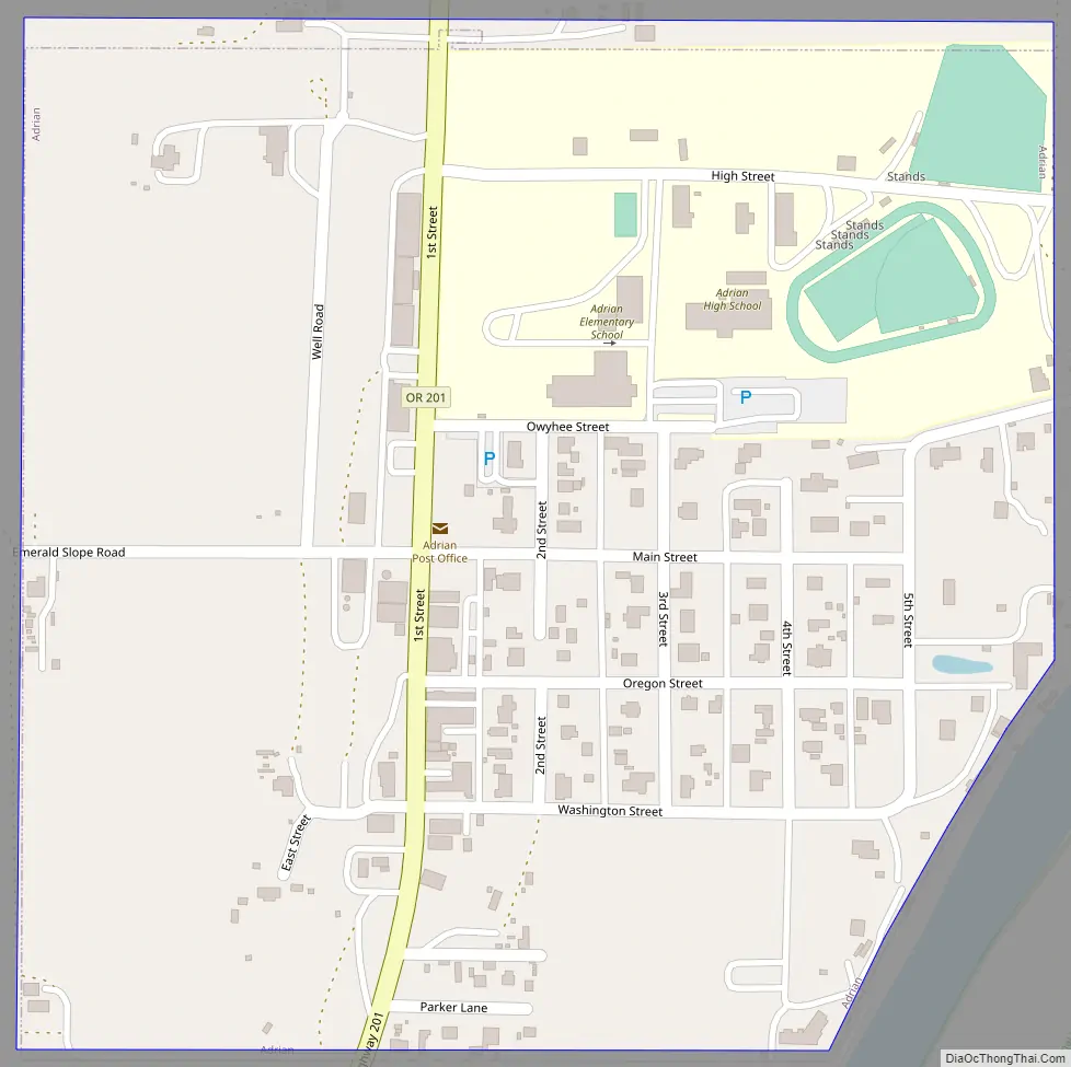
Adrian is a city in Malheur County, Oregon, United States, near the confluence of the Snake River and the Owyhee River. The population was 177 at the 2010 census. It is part of the Ontario, OR–ID Micropolitan Statistical Area.
| Name: | Adrian city |
|---|---|
| LSAD Code: | 25 |
| LSAD Description: | city (suffix) |
| State: | Oregon |
| County: | Malheur County |
| Incorporated: | 1972 |
| Elevation: | 2,225 ft (678 m) |
| Total Area: | 0.24 sq mi (0.63 km²) |
| Land Area: | 0.24 sq mi (0.63 km²) |
| Water Area: | 0.00 sq mi (0.00 km²) |
| Total Population: | 157 |
| Population Density: | 643.44/sq mi (248.28/km²) |
| ZIP code: | 97901 |
| Area code: | 541 |
| FIPS code: | 4100500 |
| GNISfeature ID: | 1135989 |
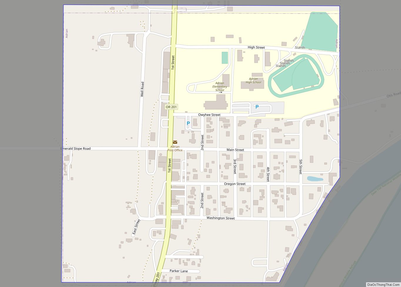
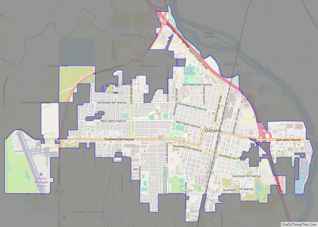
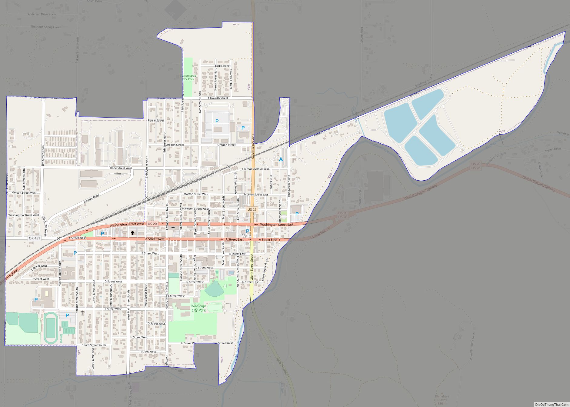
Online Interactive Map
Click on ![]() to view map in "full screen" mode.
to view map in "full screen" mode.
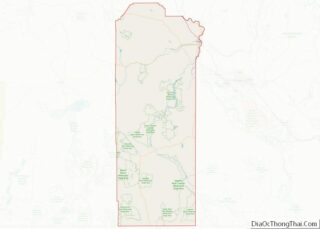
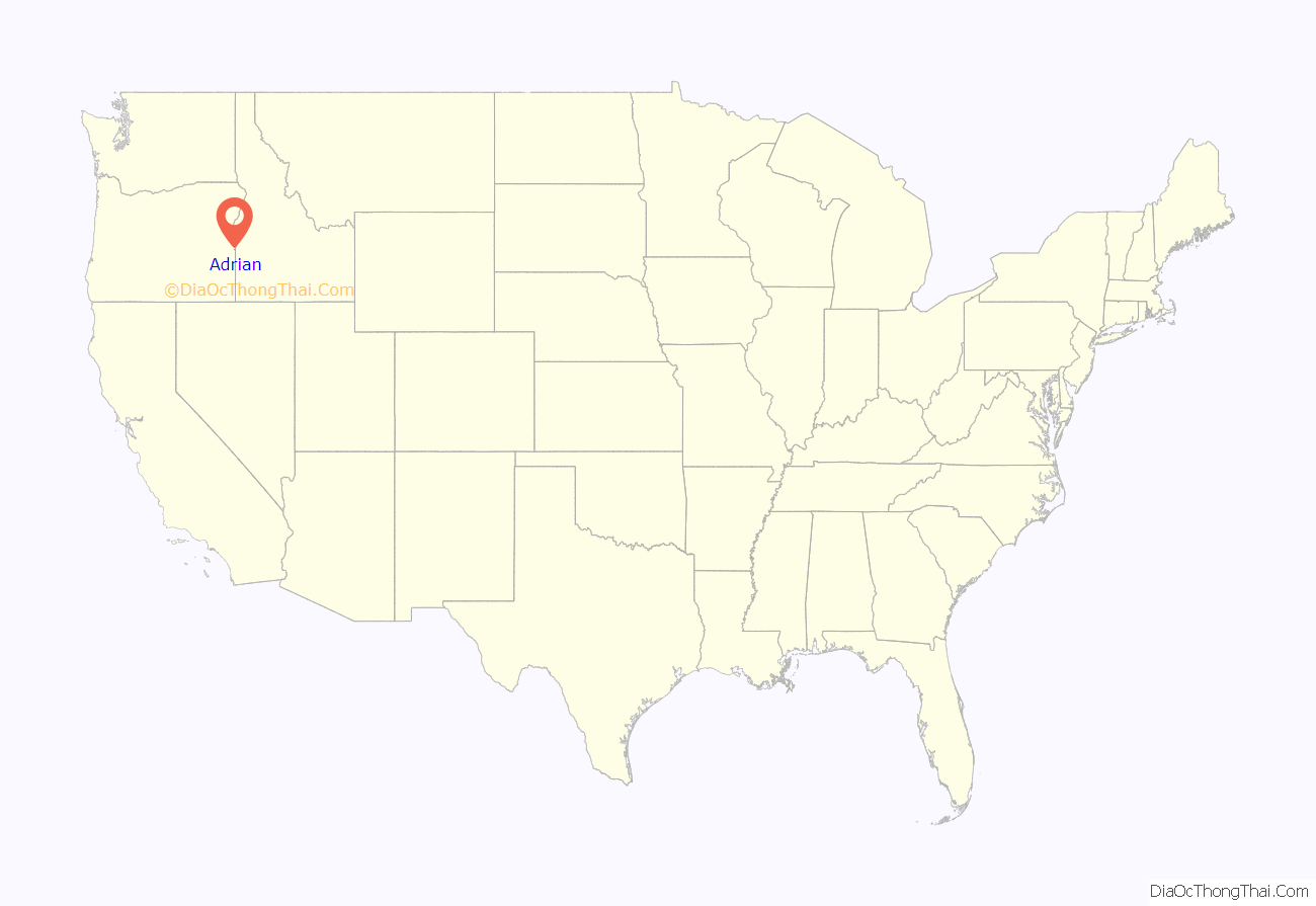
Adrian location map. Where is Adrian city?

History
In 1913, Oregon Short Line Railroad built a branch into this part of Malheur County. There was a post office called Riverview on the east side of the Snake River and because the railroad did not want a station of the same name on the west side, the name Adrian was suggested by Reuben McCreary, who platted the townsite. The name was chosen to honor his birthplace, Adrian, Illinois. Riverview post office was established in 1911, but moved across the river in 1915 and the name changed to Adrian in 1919. It was previously thought that the city was named for James Adrian, a sheep rancher, but he did not arrive in the area until 1916.
Adrian is located on the Southern Alternate route of the Oregon Trail, a longer route that eliminated the need to cross the Snake River.
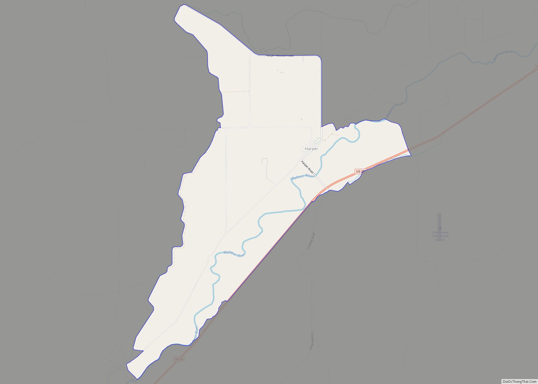
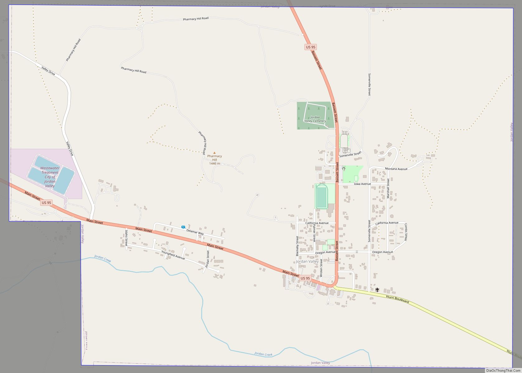
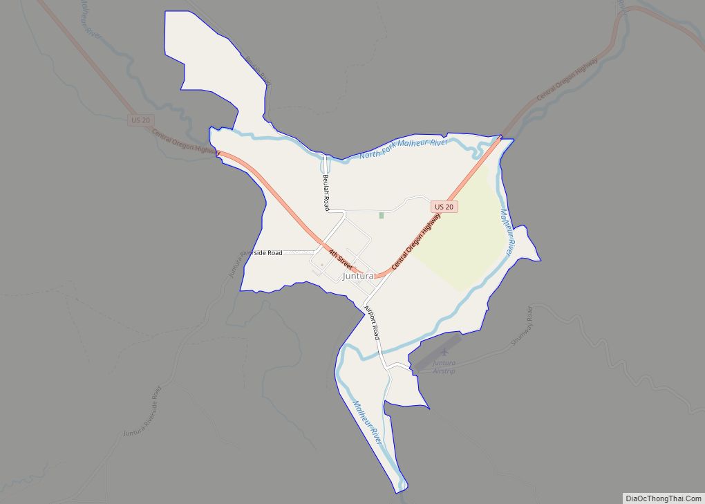
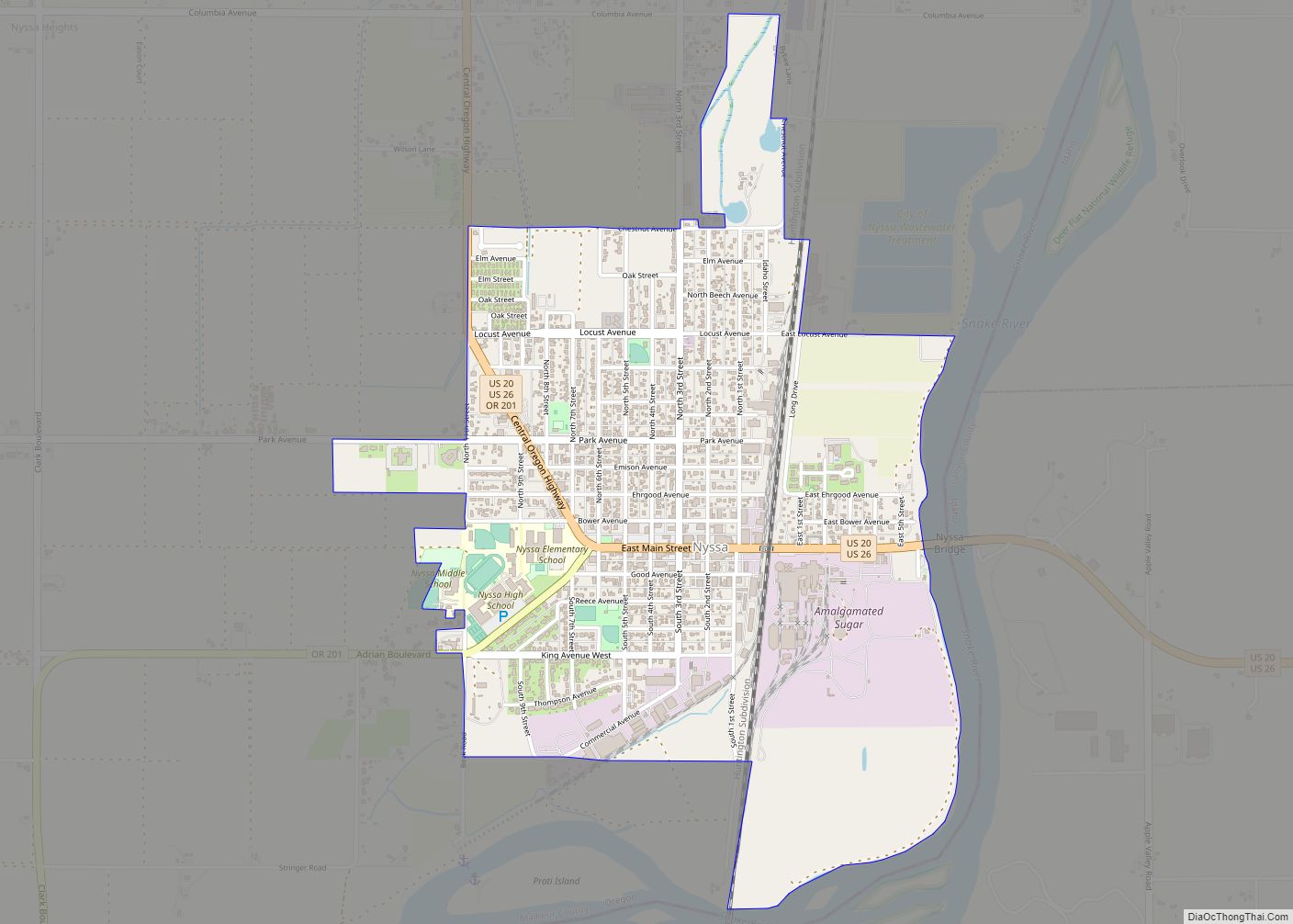
Adrian Road Map
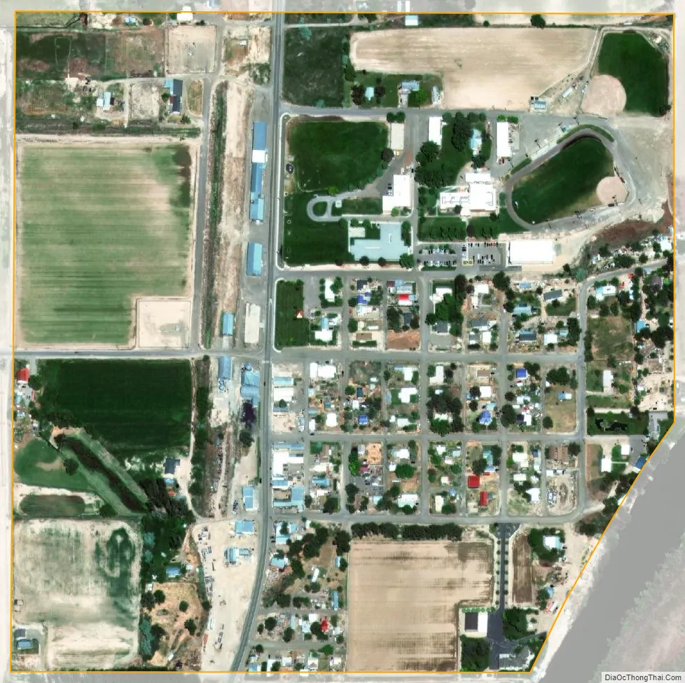
Adrian city Satellite Map
Geography
According to the United States Census Bureau, the city has a total area of 0.24 square miles (0.62 km), all of it land.
See also
Map of Oregon State and its subdivision: Map of other states:- Alabama
- Alaska
- Arizona
- Arkansas
- California
- Colorado
- Connecticut
- Delaware
- District of Columbia
- Florida
- Georgia
- Hawaii
- Idaho
- Illinois
- Indiana
- Iowa
- Kansas
- Kentucky
- Louisiana
- Maine
- Maryland
- Massachusetts
- Michigan
- Minnesota
- Mississippi
- Missouri
- Montana
- Nebraska
- Nevada
- New Hampshire
- New Jersey
- New Mexico
- New York
- North Carolina
- North Dakota
- Ohio
- Oklahoma
- Oregon
- Pennsylvania
- Rhode Island
- South Carolina
- South Dakota
- Tennessee
- Texas
- Utah
- Vermont
- Virginia
- Washington
- West Virginia
- Wisconsin
- Wyoming