Jordan Valley is a city in Malheur County, Oregon, United States. It is part of the Ontario, OR–ID Micropolitan Statistical Area. The city lies along Jordan Creek, a tributary of the Owyhee River; the creek is named for a 19th-century prospector, Michael M. Jordan. The population was 181 at the 2010 census.
| Name: | Jordan Valley city |
|---|---|
| LSAD Code: | 25 |
| LSAD Description: | city (suffix) |
| State: | Oregon |
| County: | Malheur County |
| Incorporated: | 1911 |
| Elevation: | 4,385 ft (1,337 m) |
| Total Area: | 2.08 sq mi (5.39 km²) |
| Land Area: | 2.08 sq mi (5.39 km²) |
| Water Area: | 0.00 sq mi (0.00 km²) |
| Total Population: | 130 |
| Population Density: | 62.50/sq mi (24.13/km²) |
| ZIP code: | 97910 |
| Area code: | 458 and 541 |
| FIPS code: | 4137850 |
| GNISfeature ID: | 1122534 |
| Website: | www.cityofjordanvalley.com |
Online Interactive Map
Click on ![]() to view map in "full screen" mode.
to view map in "full screen" mode.
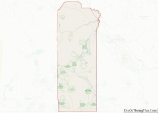
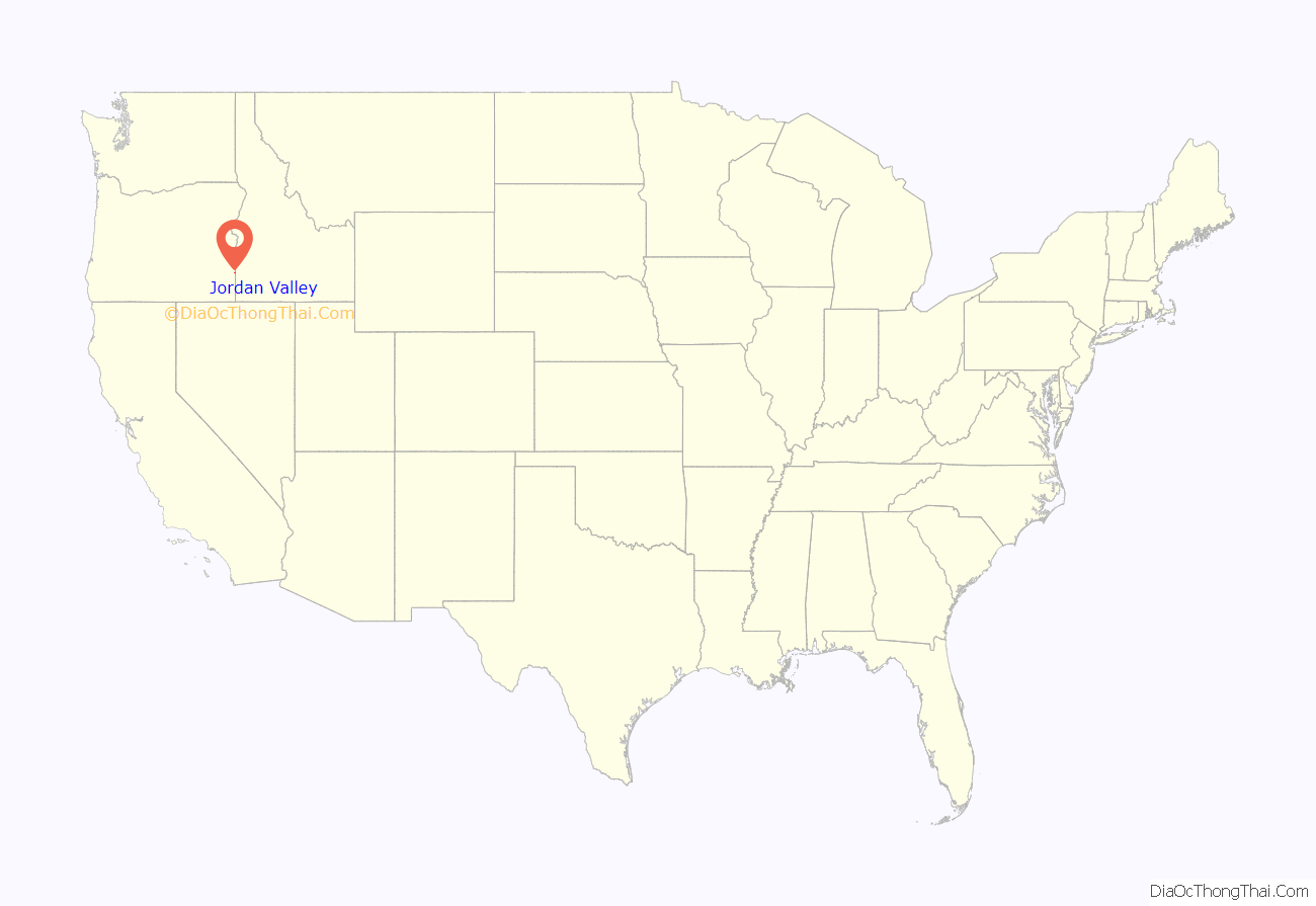
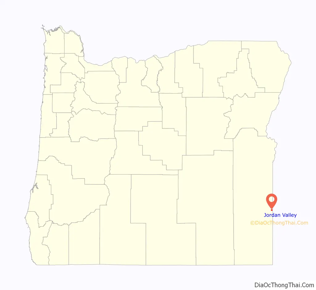
Jordan Valley location map. Where is Jordan Valley city?
History
Indigenous peoples
Northern Paiute people were the first in the area, frequenting nearby mountains and streambeds to find or follow food sources. When early settlers arrived, conflict developed over local resources, eventually escalating to the Snake War. The conflict lasted from 1864 to 1868 and left two thirds of the Paiutes dead, with those that remained sent to a reservation.
Early settlement
Non-native settlement in the area was largely driven by the 1863 discovery of gold along Jordan Creek by a group of prospectors camping in the area. Soon after, the area was named Jordan Valley after Michael M. Jordan, one of the men in the group.
Jean Baptiste Charbonneau, the son of Sacagawea, was among the early miners who came to the area.
Another miner named Silas Skinner organized a small team and built a road to more easily access Jordan Creek. The road passed through the current-day location of Jordan Valley, which soon became a pack station where miners would wait for snow to melt enough to access the mining area. The town also served as a rest stop for those travelling between larger mining towns such as Silver City, Ruby City, and De Lamar. A post office opened in 1867 in the cabin of John Baxter, one of the first permanent residents of Jordan Valley. Skinner operated his toll road until 1878, when the Owyhee County Commissioners took over responsibility for all roads in the area. He then settled in Jordan Valley and opened the Skinner Ranch.
Economic transition
When mining declined in the area and populations of boomtowns like Silver City dwindled around 1875, residents of Jordan Valley survived by transitioning to ranching. By 1867, 11 ranches were operating locally. In 1888, there were an estimated 100,000 head of cattle in the area. Ranching supported continuing growth of the community until the Great Depression struck in 1929. This financial hardship, coupled with the remoteness of the town (and subsequent lack of law enforcement) made bootlegging grow in popularity during the last few years of Prohibition.
Basque immigration
Many Basque immigrants came to Jordan Valley, starting around 1889 with the arrival of José Navarro and Antone Azcuenaga. Local oral history claims that before long, the Basques comprised around two thirds of the population of the town. A pelota court, known as the Pelota Fronton, was built in 1915, and still stands as a historic landmark. The Basques also constructed several sandstone buildings, including three boarding houses, and (with the help of local Irish immigrants) the St. Bernard’s Catholic Church, which can still be seen today. Basque immigration to the area slowed with the passing of the Taylor Grazing Act of 1934, which favored cattle ranching over sheep, the Basques’ preferred livestock.
Declining population
Jordan Valley’s population steadily dwindled after the 1920s, with the only notable growth being correlated with the 1977 opening of the DeLamar Mine, and its reopening by the Kinross Gold Corporation in 1993, when the population grew from 376 to 446. The mine closed in 1999, and by 2016, the population of Jordan Valley had dwindled to around 175. In 2017, Integra Resources Corporation purchased the mine, but as of 2019, is still in the process of researching and planning future silver mining operations for the site.
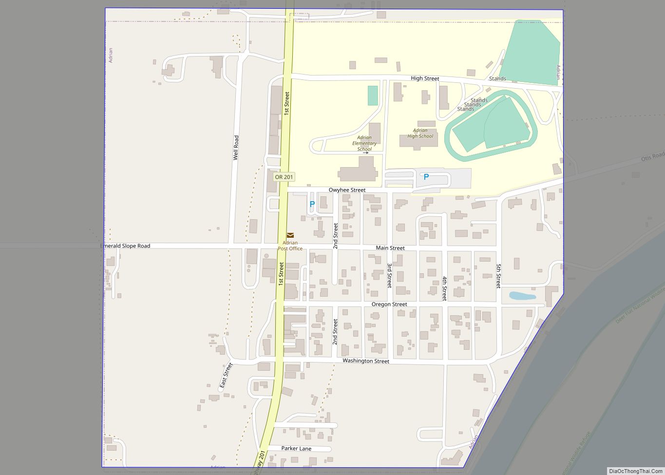
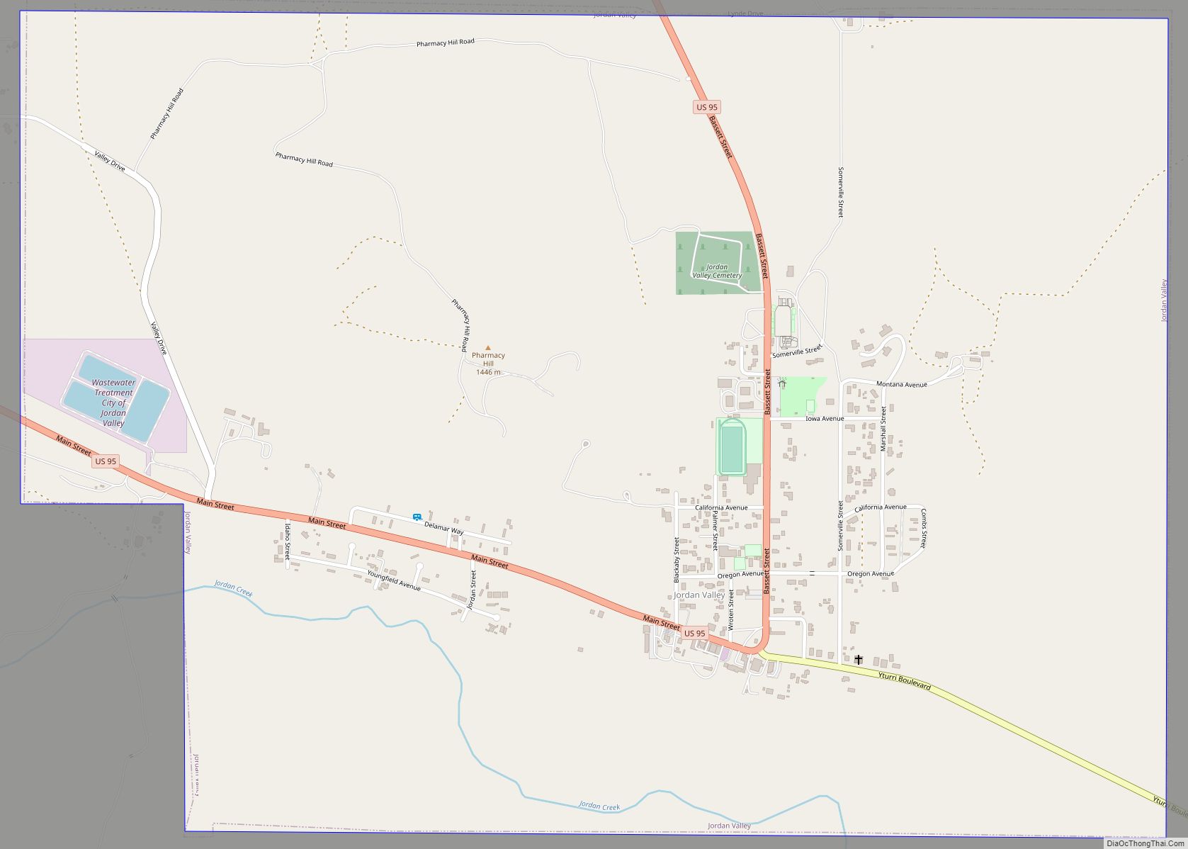
Jordan Valley Road Map

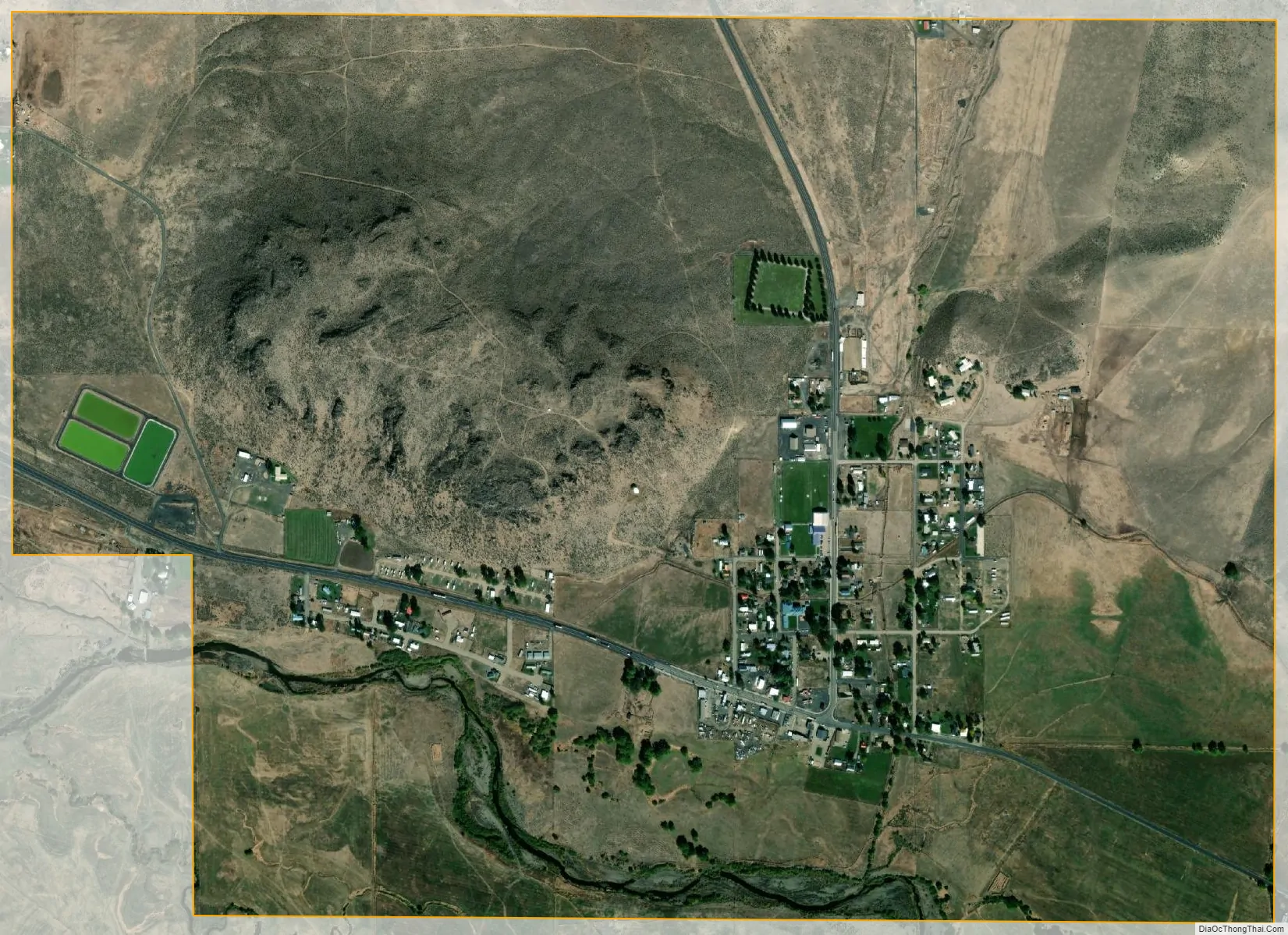
Jordan Valley city Satellite Map
Geography
According to the United States Census Bureau, the city has a total area of 2.08 square miles (5.39 km), all of it land.
Jordan Valley’s most prominent geographical landmark is the blunt plateau across Jordan Creek and adjacent to town, Pharmacy Hill.
Jordan Valley’s main occupations are cattle ranching and sheep herding. People in those occupations typically live far from town on homesteads, but use Jordan Valley as their cultural and economic center. People within Jordan Valley primarily provide a number of services to tourists passing through on U.S. Route 95, which is the primary road from Boise, Idaho to Reno, Nevada.
Jordan Valley is known for its excellent hunting and fishing as well as its proximity to Jordan Craters, an extinct volcanic field. Other popular areas nearby include Leslie Gulch, Cow Lakes, Antelope Reservoir, and Three Forks to the south.
See also
Map of Oregon State and its subdivision: Map of other states:- Alabama
- Alaska
- Arizona
- Arkansas
- California
- Colorado
- Connecticut
- Delaware
- District of Columbia
- Florida
- Georgia
- Hawaii
- Idaho
- Illinois
- Indiana
- Iowa
- Kansas
- Kentucky
- Louisiana
- Maine
- Maryland
- Massachusetts
- Michigan
- Minnesota
- Mississippi
- Missouri
- Montana
- Nebraska
- Nevada
- New Hampshire
- New Jersey
- New Mexico
- New York
- North Carolina
- North Dakota
- Ohio
- Oklahoma
- Oregon
- Pennsylvania
- Rhode Island
- South Carolina
- South Dakota
- Tennessee
- Texas
- Utah
- Vermont
- Virginia
- Washington
- West Virginia
- Wisconsin
- Wyoming