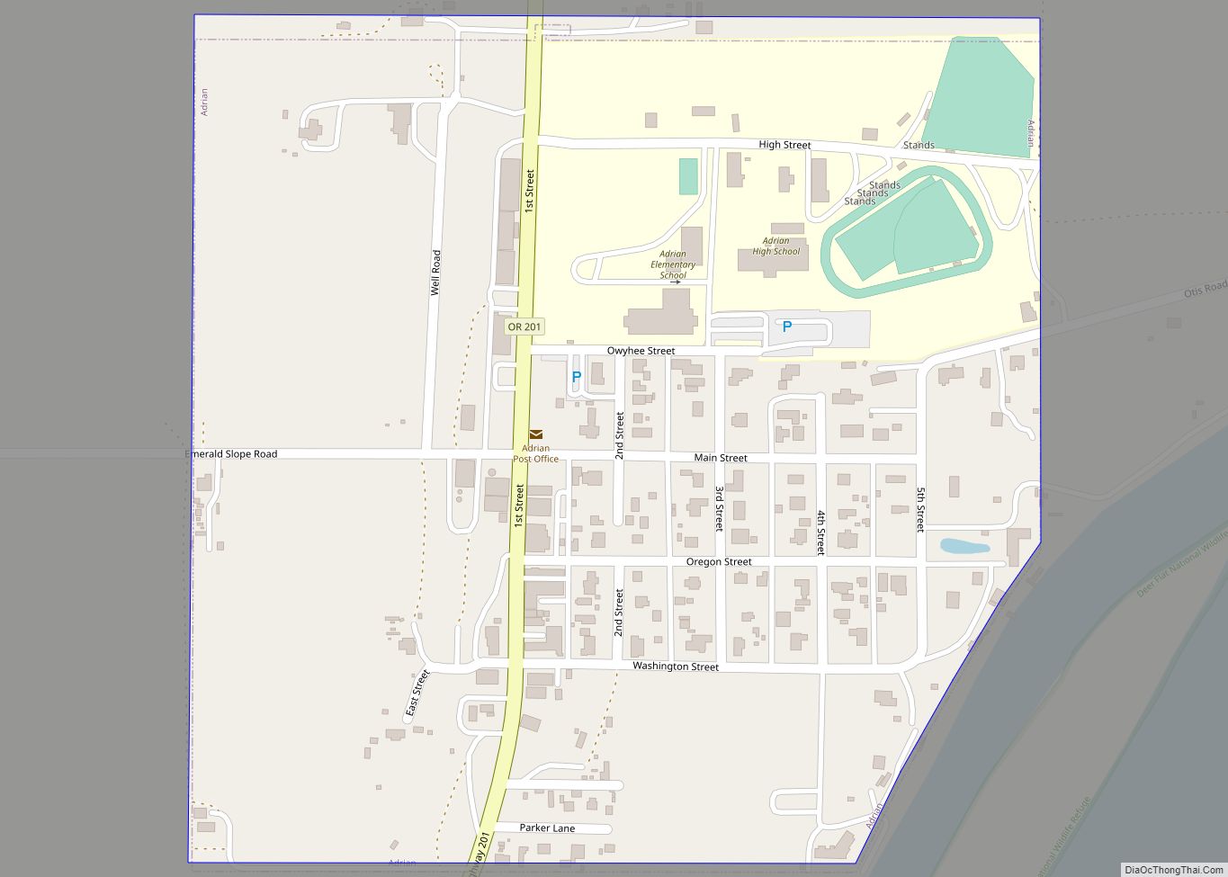
Vale is a city in and the county seat of Malheur County, Oregon, United States, about 12 miles (19 km) west of the Idaho border. It is at the intersection of U.S. Routes 20 and 26, on the Malheur River at its confluence with Bully Creek.
Vale was selected as Malheur’s county seat in 1888 in a vote where other candidate communities were Ontario and Jordan Valley. As of the 2010 census, the city had a total population of 1,874, down from 1,976 in 2000. Vale is part of the Ontario, OR–ID Micropolitan Statistical Area.
| Name: | Vale city |
|---|---|
| LSAD Code: | 25 |
| LSAD Description: | city (suffix) |
| State: | Oregon |
| County: | Malheur County |
| Incorporated: | 1889 |
| Elevation: | 2,244 ft (684 m) |
| Total Area: | 1.14 sq mi (2.94 km²) |
| Land Area: | 1.14 sq mi (2.94 km²) |
| Water Area: | 0.00 sq mi (0.00 km²) |
| Total Population: | 1,894 |
| Population Density: | 1,668.72/sq mi (644.14/km²) |
| ZIP code: | 97918 |
| Area code: | 541 |
| FIPS code: | 4176600 |
| GNISfeature ID: | 1136861 |
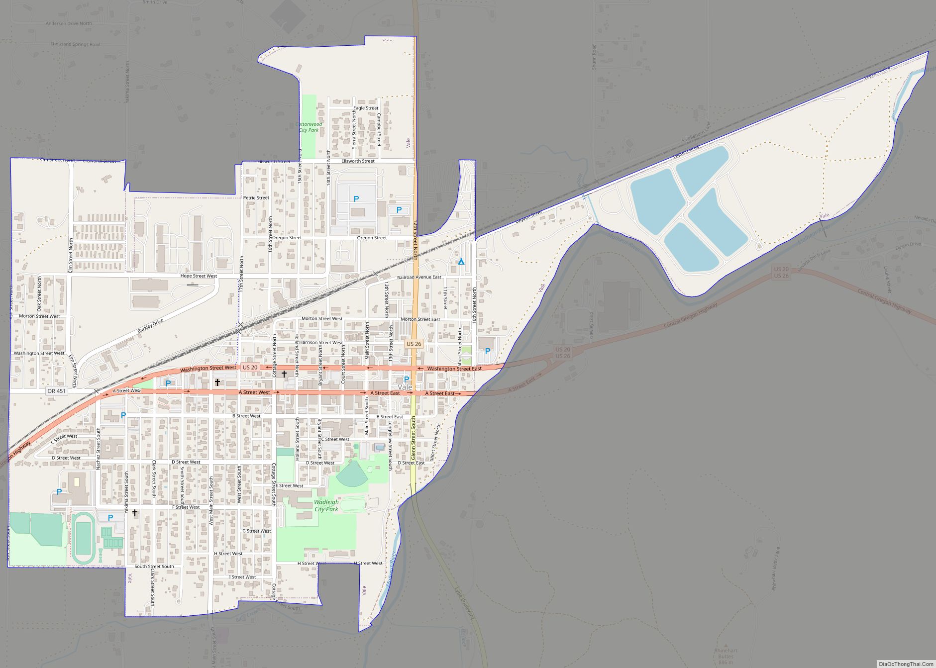
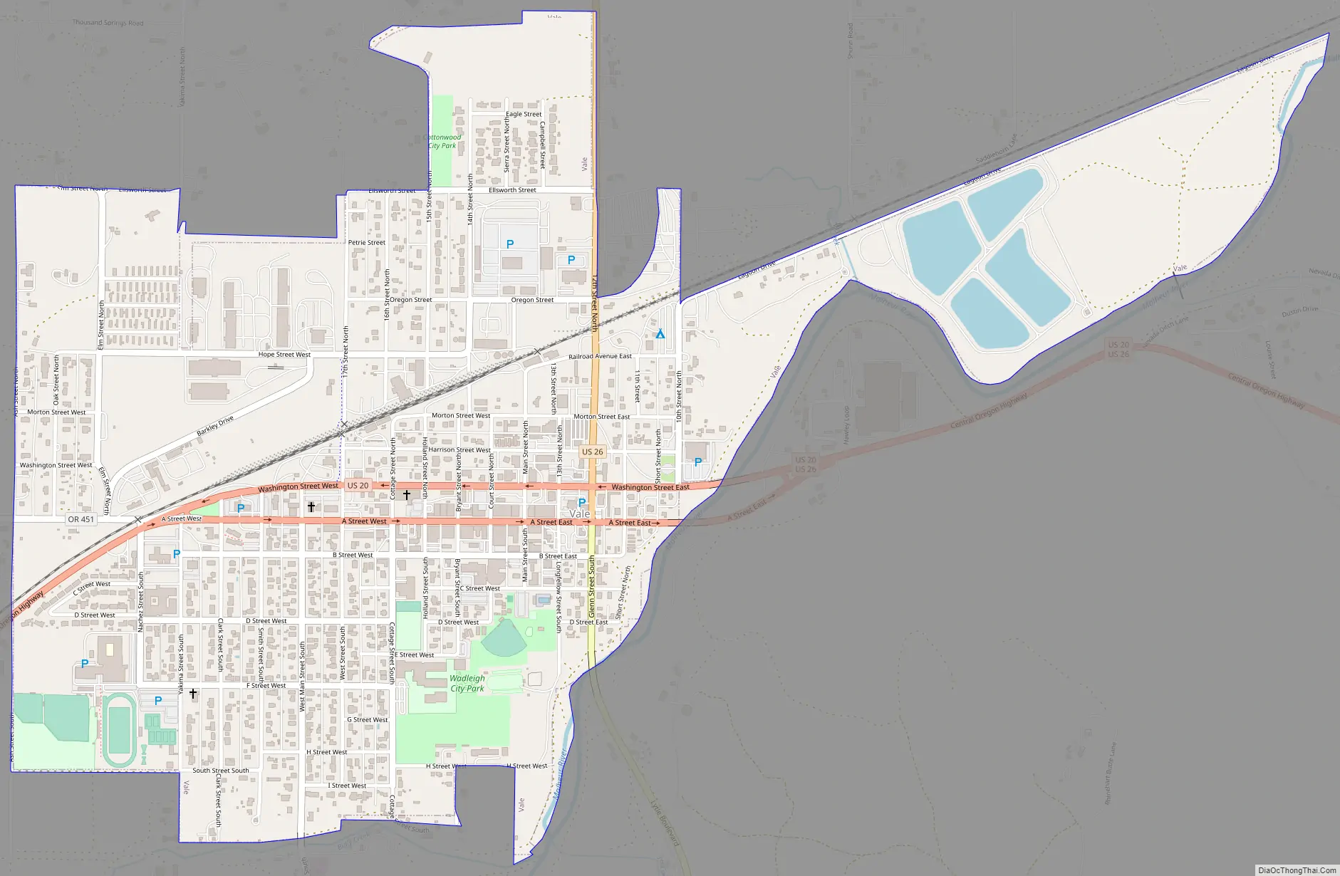
Online Interactive Map
Click on ![]() to view map in "full screen" mode.
to view map in "full screen" mode.
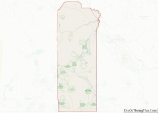
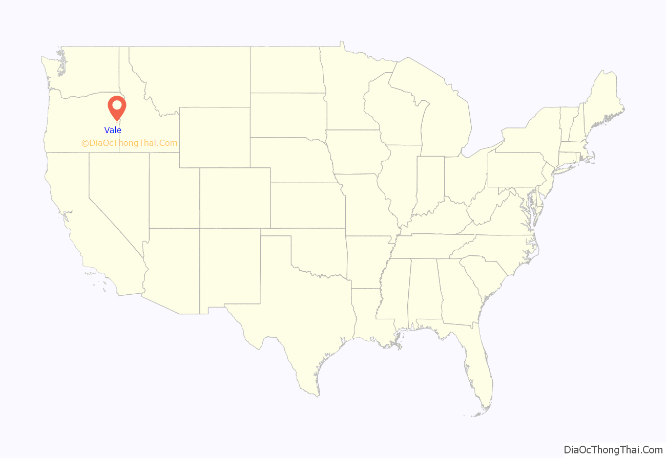
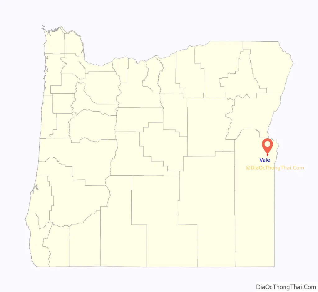
Vale location map. Where is Vale city?
History
The area where present-day Vale sits was historically home to small groups of Native Americans. The area was also a central gathering place for Paiutes during salmon run season.
The community was the first stop in Oregon along the Oregon Trail. Journals of those who traveled the trail note a trading post in the area as early as 1853, and by 1864, Johnathan Keeney had built a cabin and a barn that he offered for lodging for passing travelers. This cabin was replaced by the Rinehart House in 1872, which still stands today.
The railroad arrived in Vale in 1883, and the town became an important shipping gateway. A post office with the name of Vale was established in the Rinehart House the same year, though the community was not incorporated by the Oregon Legislative Assembly until February 21, 1889. Originally incorporated as the Town of Vale, it became the City of Vale in 1905. In 1887, Vale was named the first Malheur County seat, and a courthouse was constructed.
Vale Road Map
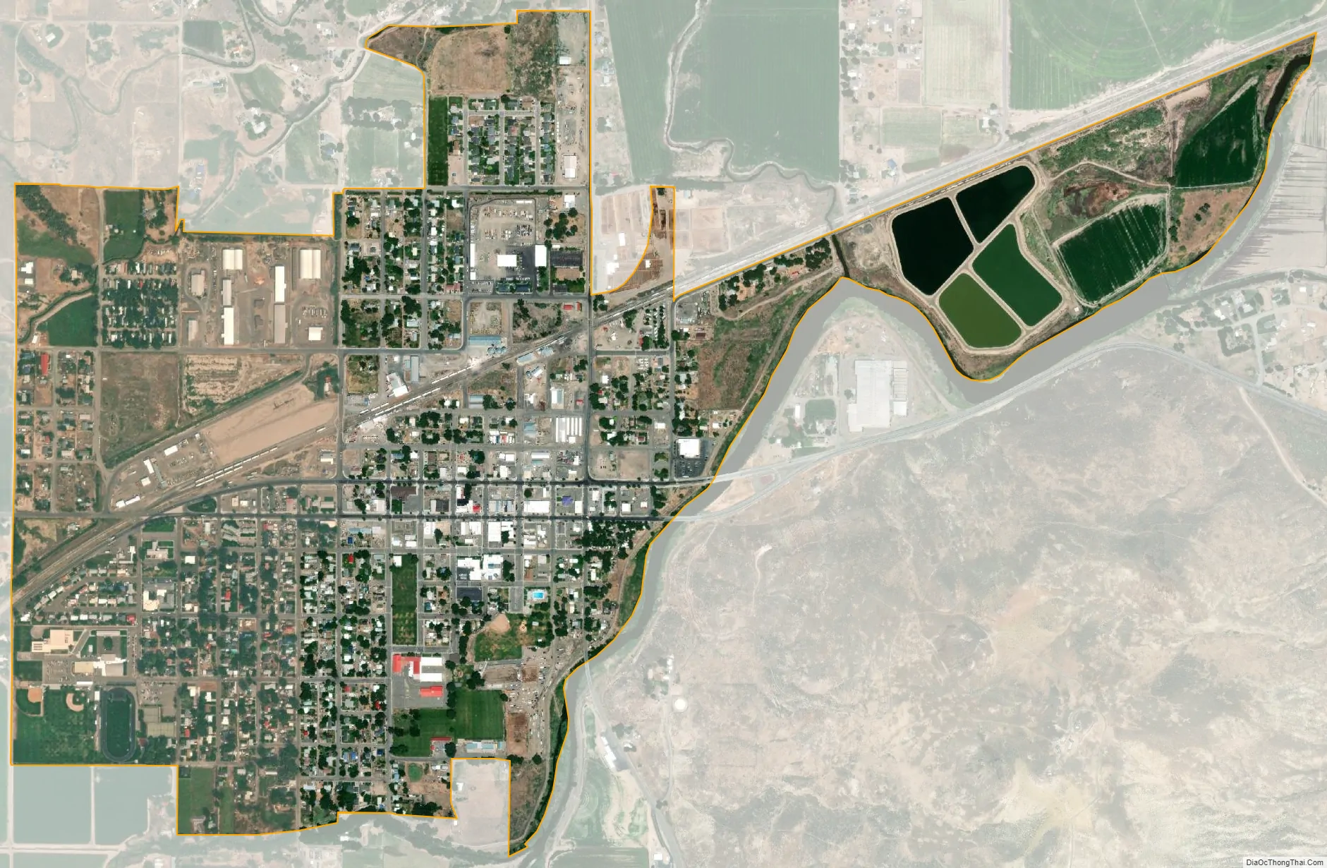
Vale city Satellite Map
Geography
According to the United States Census Bureau, the city has a total area of 1.14 square miles (2.95 km), all of it land. The city has an elevation of 2,244 feet (684 m) above sea level.
Climate
Vale has a semi-arid climate (Köppen BSk). July is on average the hottest month and January the coldest. Typically there will be 148.3 nights each winter falling below 32 °F or 0 °C and 6.3 nights falling under 0 °F or −17.8 °C, although the clear skies mean that only 25.2 days do not top freezing and only 101.5 days fail to top 50 °F or 10 °C. During summer, 12.7 days will top 100 °F or 37.8 °C and 61.2 days – including 43 of 62 in July and August – will on average top 90 °F or 32.2 °C. However, the low humidity and clear high-altitude skies mean nights are cool even in summer, with minima rarely above 65 °F or 18.3 °C.
December is the wettest month, when the average precipitation totals about 1.38 inches (35.1 mm), although the wettest month has been May 1998 with 5.57 inches (141.5 mm), whilst zero precipitation has been reported during each month between July and October. Snowfall is rare despite temperatures falling well below freezing between mid-October and mid-April, with a median of only 7.3 inches or 19 centimetres and usually negligible snow on the ground even in January, although during February 1989 a depth of 18 inches or 46 centimetres was reached. The most snow in one month was 16 inches (41 cm) in January 1975.
See also
Map of Oregon State and its subdivision: Map of other states:- Alabama
- Alaska
- Arizona
- Arkansas
- California
- Colorado
- Connecticut
- Delaware
- District of Columbia
- Florida
- Georgia
- Hawaii
- Idaho
- Illinois
- Indiana
- Iowa
- Kansas
- Kentucky
- Louisiana
- Maine
- Maryland
- Massachusetts
- Michigan
- Minnesota
- Mississippi
- Missouri
- Montana
- Nebraska
- Nevada
- New Hampshire
- New Jersey
- New Mexico
- New York
- North Carolina
- North Dakota
- Ohio
- Oklahoma
- Oregon
- Pennsylvania
- Rhode Island
- South Carolina
- South Dakota
- Tennessee
- Texas
- Utah
- Vermont
- Virginia
- Washington
- West Virginia
- Wisconsin
- Wyoming